Get PeakVisor App
Sign In
Search by GPS coordinates
- Latitude
- ° ' ''
- Longitude
- ° ' ''
- Units of Length

Yes
Cancel
❤ Wishlist ×
Choose
Delete
The Katun State Natural Biosphere Reserve was established on July 25, 1991, although the projections to create a protected area date back to 1917 when a famous traveller and scientist Veniamin Semenov-Tyan-Shansky came to the area and was smitten by its beauty. He was the third son of a great scientist Pyotr Semenov-Tyan-Shansky who got the nickname Tyan-Shansky because he was the first European to see the scenic panorama of the Tengri Tag, and its most beautiful peak, the colossal Khan Tengri.
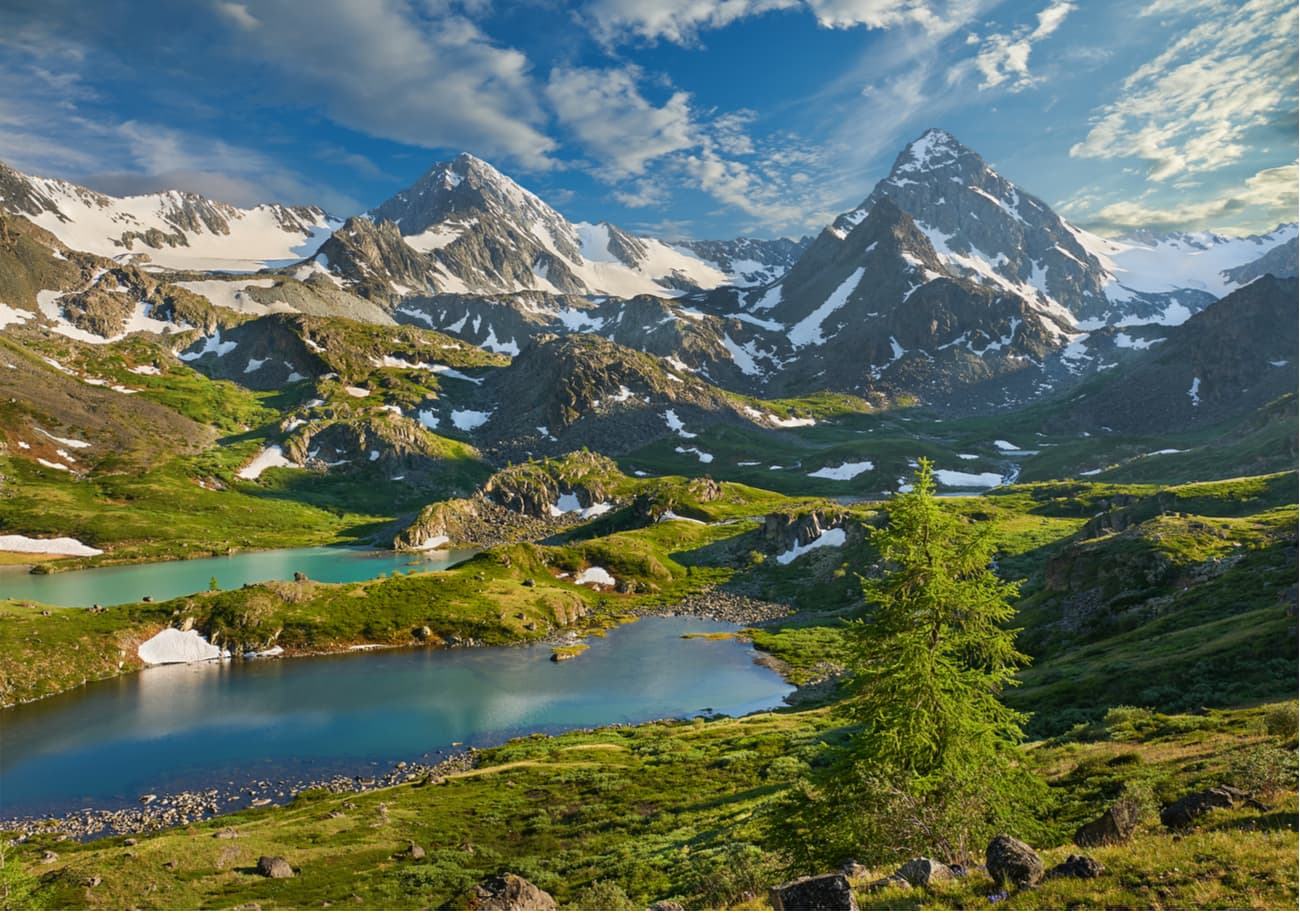
Hardly can the beauty of the Katun Reserve be underestimated. It is a real gem of the Central Altai, where the borders of the most amazing places in Russia and Kazakhstan converge. The reserve got its name thanks to the Katun River, the main waterway of the mountainous Altai with a total length of 688 km. The Katun Reserve is located in the Ust-Koksinsky district of the Altai Republic in the highest mountainous part of the region, on the southern slope of the Katun Ridge and the northern slope of the Listvyaga Ridge. It is located at heights varying from 1300 to 3280 meters and occupies the space of 151 664 square kilometres.
The territory of the reserve borders Mount Belukha – the highest mountain in Siberia, the height of which reaches 4,506 meters. It is not a part of the reserve but is located very close to the reserve’s border. It is on this mountain that the Katun River originates. The Altai, especially the part that belongs to the Katun Reserve, is the most amazing and unique place on our planet where nature has not yet been greatly affected by human activity and amazes with its primitive virginity and purity, the magic signs on the rocks, stone sculptures and ancient mounds that keep the centuries-old secrets of ancient civilizations that used to thrive here.
Primordial integrity of the place has been preserved due to the hard-to-reach, heavily rugged terrain of this region and the reserve. The purpose of this natural biosphere reserve is to conserve unique high mountain natural landscapes, to restore the number of rare and endangered species of animals (snow leopard, Pallas' cat, argali sheep and others), to do scientific research and state monitoring as well as ecological and educational work with the population (there are many excursions and lectures given by the reserve staff) and training for future reserve staff and conservationists.
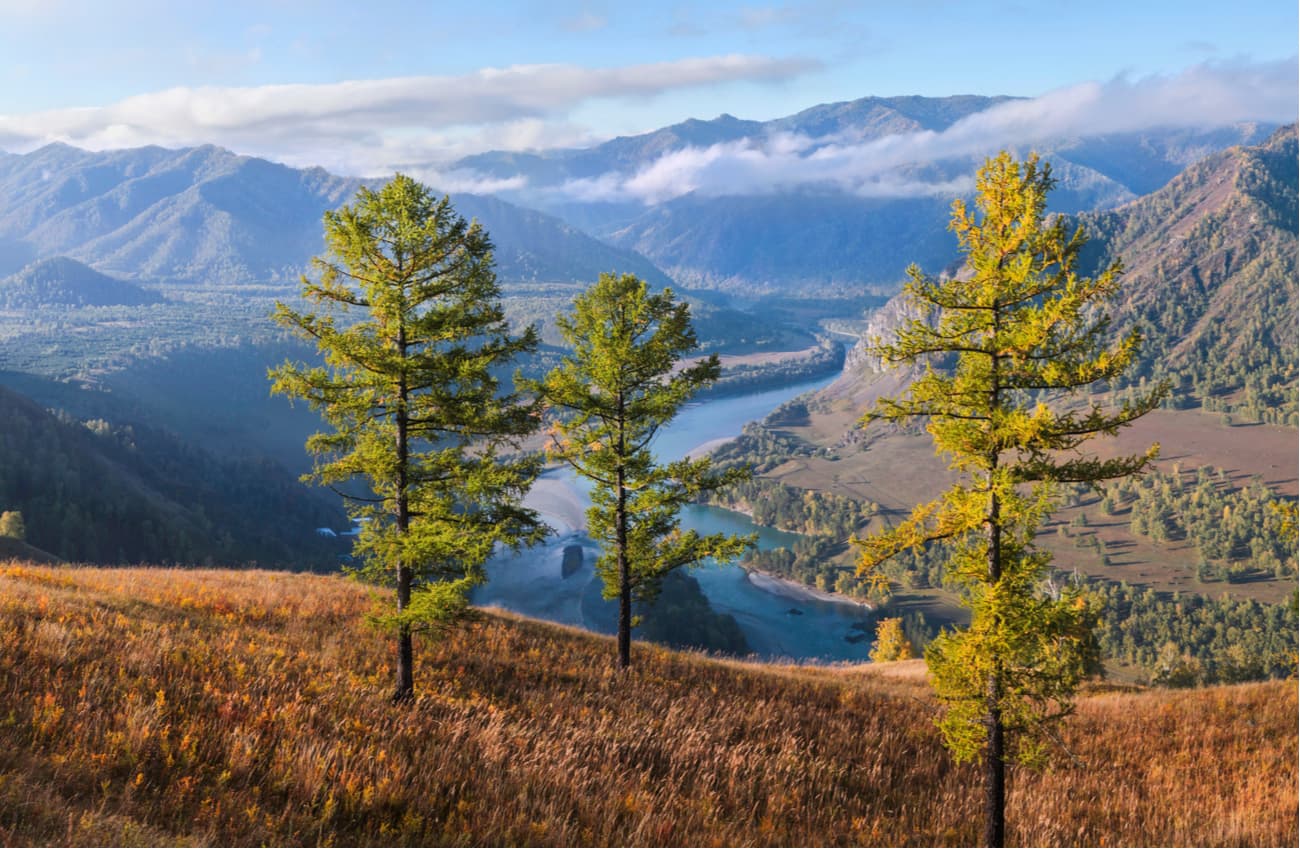
Since 1998, the Katun Reserve has been included in the UNESCO Altai Golden Mountains World Natural Heritage List, and since 2000 it has been included in the World Network of Biosphere Reserves of the UNESCO Man and the Biosphere Programme.
The flora of the Katun Reserve includes about 700 plant species over 20 of which are included in the Red Book of the Altai Republic, 10 species are in the Red Book of Russia. Since the reserve is located in the mountains, the vegetation here varies widely due to pronounced height changes of belts.
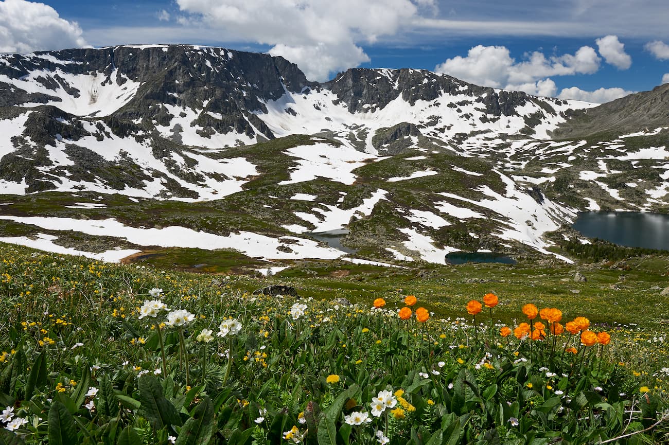
The most staggering sights are the numerous poppy fields. Yet, there is plenty of colourful fireweed and rosebay (Chamaenérion angustifolium, or Epilóbium angustifolium), chamomile, martagon lily and other flowers. There is a fabulously beautiful flower called locally ‘yolks’, they are of bright yellow colour and seem to glow like lanterns.
The signature flower is surely the Saussurea of Revyakina, this species of the snow lotus family is the local endemic and can be found only here. The plant is up to one meter tall with purple flowers densely covered with white thin tangled hairs.
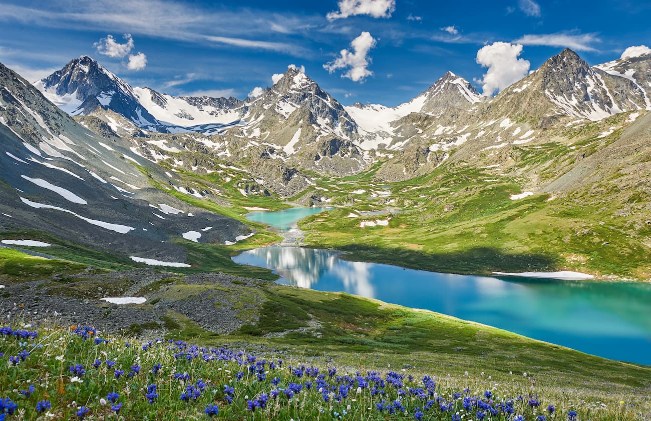
Other rarities and red-book species include Siberian trout lily, steppe peony, Altai rhubarb, feather grass, Gymnospermium altaicum, Ukokian larkspur, deceptive aconite, rhapontic, Altai onion, Altai crazyweed, Dorogostaiskiy Saussurea and others.
The animal world of the biosphere reserve is less diverse. Biologists have recorded 155 bird species, 8 fish species and 59 mammal species in the mountains.
Despite the prevalence of alpine landscapes as the alpine zone occupies 61.6% of the Reserve's total area, there are no typical alpine species of these Central Asian mountains. The explanation is quite simple – the environment is rather hostile and deep snow in winter makes it difficult for animals to move around and get food in winter. The most suitable areas for animals are located in the middle mountain zone, which accounts for 23.5%, which is only 22.5 thousand hectares out of the total 151.6.
The Reserve is home to a large number of brown bears and they are scattered throughout the Reserve but most often found in dense thickets on the slopes of mountains. The main rule when meeting a bear is not to turn your back and run away from it! Basically, the behaviour is the same as meeting the tiger, of which we wrote in this article. But just to recap.
Lol and behold, here comes one of the most agile omnivorous predators. It is useless to try and climb a tree because a bear does it better. Statistically, most people are attacked by male black bears. This is due to the fact that they either have never met a human or are not afraid of him and see him as some walking meat popsicle, aka food available. Particularly dangerous are those who have not fallen into hibernation or been disturbed. She-bears protecting their cubs are also no laughing matter. They kill and kill for sure.
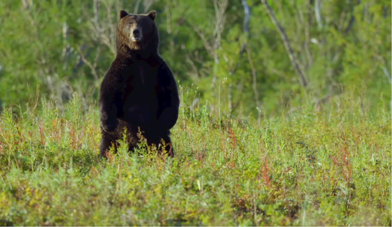
For starters, try to avoid meeting a bear. If you happen to see two parallel chains of holes at a distance of 20 cm from each other, steer clear - this is a bear path, easily distinguishable from paths of any other animals. Don’t come close to remains of dead animals or dead fish, river banks and along spawning grounds at dusk and dawn and at night as these are bear’s feeding times. If you disturb the animal while it’s eating, your will might come into effect prematurely because a bear will certainly attack.
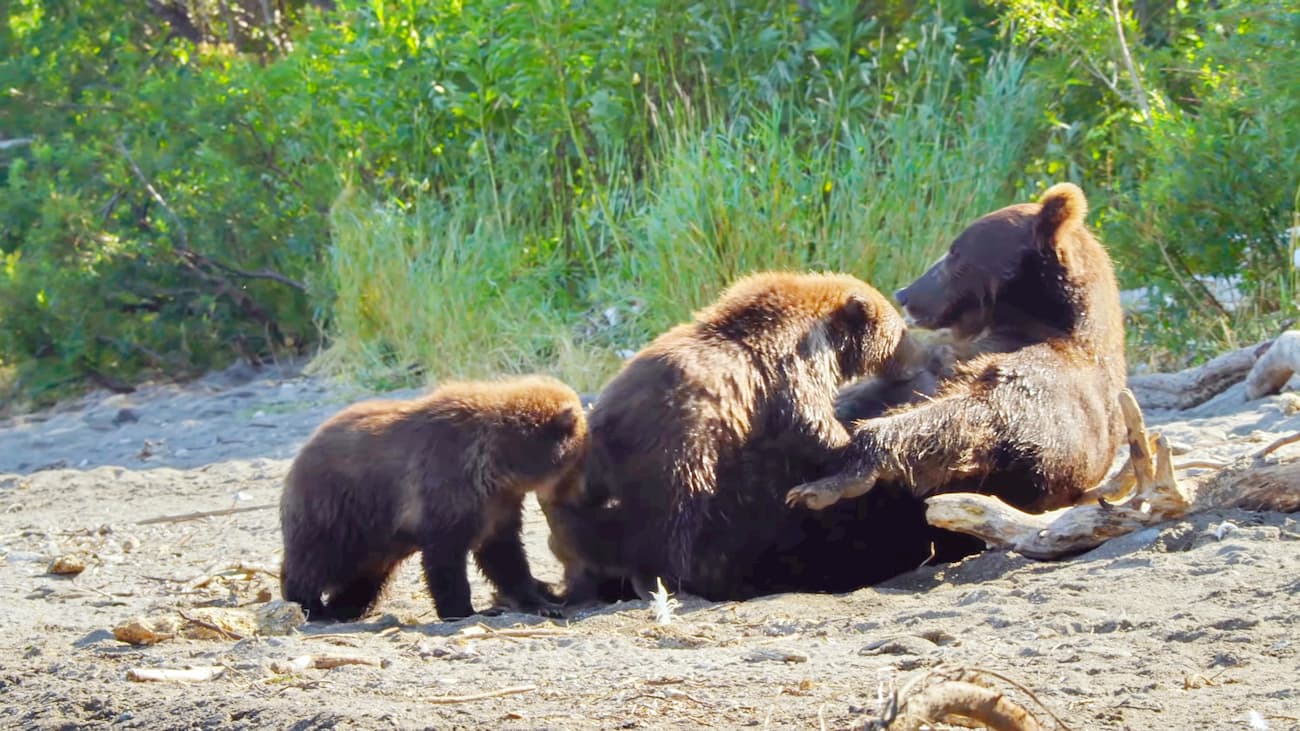
Bears are not the only predators of the reserve, here lives the wolf, fox, wolverine and occasionally there are found traces of badger and wild boar. There are also many furry animals in the forests: sable, squirrels, chipmunks, minks, ermine, columns. In the highlands, there are Siberian elks and Siberian mountain goats which can even showcase themselves if you are lucky. The roe deer lives in the reserve only in the snowless period and in winter it leaves the reserve territory for snowless areas of the Katun Ridge and the Listvyaga Ridge. Lynx is rather rare in the reserve. Traces of lynx were observed in bush thickets and in forested areas along the valleys of the rivers Multy and Kuragan. Lynx rarely comes out to open places as it is a super cautious animal.
Another rare species of the reserve is a mole mouse which lives only underground. It leaves its burrows only to feed on fresh grass. The mole mouse looks like a very fat brown mole.
The river otter is also an exceptionally rare species inhabiting the banks of the Tikhaya (the left tributary of the Katun) and Ozernaya (the right tributary of the Katun) rivers, as well as on the banks of the Katun below the Zaichikha river mouth. There are only a few known sightings of this animal.
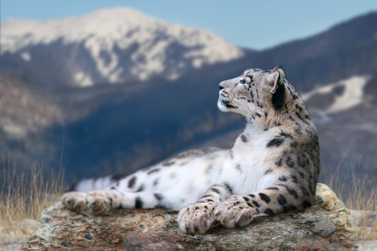
Snow leopard (ounce or irbis, as it is called locally), an exceptionally beautiful animal, occasionally enters the reserve. Apparently, it is connected with the migration of Siberian ibex and Siberian musk deer – the main forage base of the snow leopard. The population of mountain ungulates has been receding recently, which endangers the life of the snow leopard as well. The snow leopard is listed in the international and Russian Red Books as an endangered species. The Red Books of Russia and the Altai also feature Siberian musk deer, river otter, whiskered bat, water bat, and Brandt bat.
The Red Book of the Altai Republic includes 20 bird species. Flights of the black and bearded vultures, big cormorant, grey crane, humpbacked scoter, pale harrier, and greater spotted eagle have been registered. The reserve is home to a big falconet aka nine-killer.
In autumn, you can see a grey heron close to the territory of the reserve. There are also nests of a rare and endangered species – black stork in the reserve buffer zones.
The Katun Biosphere Reserve is located almost in the center of the Eurasian continent, far away from all seas and oceans. Therefore, the region is characterized by a harsh continental climate with really severe winters and boiling hot summers.The nature of the Katun Reserve is diverse and features representatives of different climatic zones and even belts. The weather in the reserve is mainly conditioned by the surrounding mountains that oftentimes create a local microclimate which differs greatly from the neighbouring one that is just over a ridge or next valley.
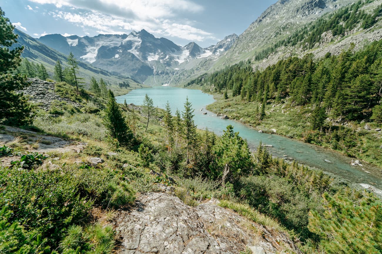
It is sunny, windless and frosty in the mountains at high altitudes in winter. There is plenty of snow. The average temperature is - 20-22 degrees Celsius (-4 to -8F). In summer, strong winds prevail at the tops of the mountains, those cold gusts can make you feel being caught in the middle of the storm, the temperature does not exceed +6C (+42F).
Things are radically different in the valleys and in the passages to them. Here apply the laws of the sharp continental climate. Winter is very harsh – up to -30C (-22F), it is cloudy, cold air accumulates in the gorges, ravines and intermountain pockets. In spring and autumn, it is very windy and there is a lot of precipitation. Summer is quite warm, in July the temperature reaches +20-22C (+68-72F).
The Central Altai Mountains are the largest centre of glaciation in Siberia – a stockpot of Siberian glaciers. Only within the Katun Range, there are 148 glaciers which give rise to numerous mountain streams and rivers. All of them belong to the basin of the legendary Katun River which has a rather naughty character and rapid flow. Among the tributaries are the river Multa, the right tributary of the Katun, and the less famous rivers: the Poperechnaya, the Krepkaya, the Mikhailovka and the Kuiguk. There are 135 stunningly picturesque lakes in the Katun Reserve, all fed by nearby glaciers. Here there is located a part of the famous cascade of five most beautiful Multinskiye lakes, two of which are situated on the territory of the reserve – Poperechnoye Lake and Krepokoye Lake (and yes, those names are the same as the river names mentioned above, so when travelling in the Reserve, make sure you go to the lake and not just to the river). Water in these lakes has an unusual milky-greenish hue.
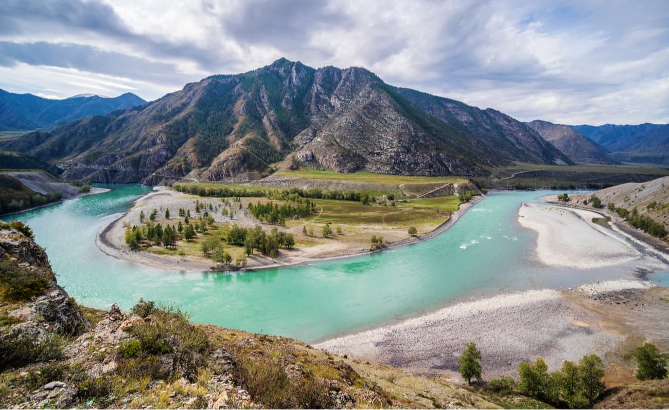
The large lakes of the area are the Multinskie, the Emerald, the Taimenie, the Osinovskie and the Poperechnoye. They form the belt of water bowl which is the western and northern boundary of the Reserve, and in its central part, there are 125 more lakes (small and quite tiny).
The Katun Reserve covers the slopes of the Katun Range, located in the central part of the Altai. It is a mountainous region featuring impregnable peaks with treacherous glaciers and magnificent snow caps, there are many hard-to climb rocks.
The Katun Ridge is one of the highest ranges of the Altai Mountains. There is no forest above 2000-2200 meters, only rocks that are covered with eternal snows and alpine meadows. On the slopes of the Katun Range, there are more than 386 glaciers, their total area exceeds 150 sq.km. Here starts the river Katun, it originates in the Gebler glacier. Just north of the Katun Range is the famous Uymon Steppe – an intermountain ravine at an altitude of about 900 meters above sea level.
The most outstanding snowy peaks of Katun Ridge are Belukha (4,506m), Crown of Altai (4,178 m, the old name was 20 years of October), Urusvati (3,556 m), and Roerich (3,494 m).
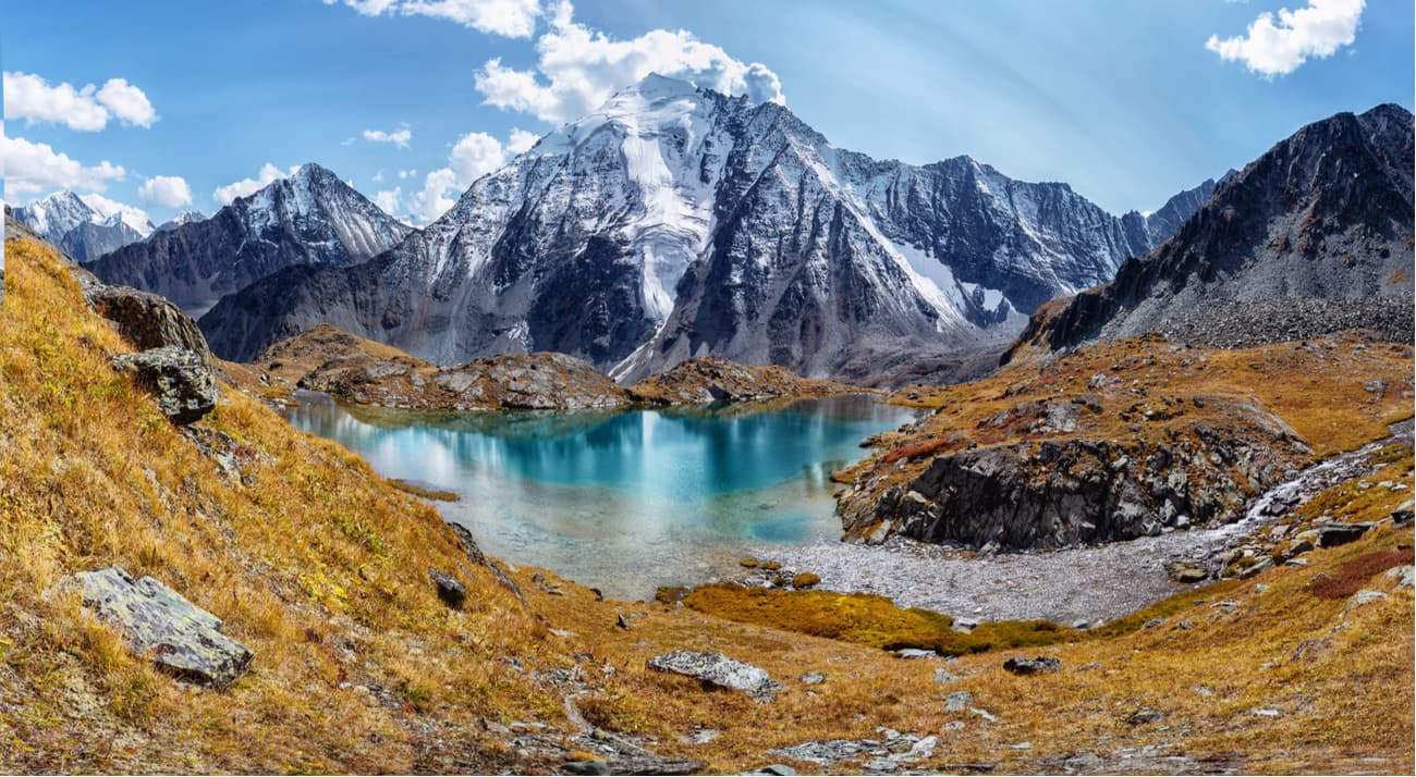
Belukha Mountain is one of the most powerful glaciation centers in the Altai. It is also interesting for professional climbers and attracts the attention of various categories of tourists.
Scientific studies have recorded the presence of geophysical anomalies in this area, the mountain itself has a very strong energy. The locals have a legend connected with this peak. The Altai peoples are customarily divided into clans. Each clan has its own sacred mountain and rituals pertaining to its worshipping. According to folk legends, in ancient times the mountains used to be rich men who defended and protected their kin from enemies. They believe that even now spirits of the mountains patronize and safeguard them. The worshipping customs are still alive. The Altai people worship Belukha (Kadyn Bazhy in the local language) and believe that it is inhabited by the master of the Altai himself. At the foot of Belukha Mountain, there are strong and mighty springs of the Arzhan, and the river Katun starts from the Gebler Glacier that lies on the mountain. Not only the glacier feeds the Katun, but the waters of the sacred springs as well, that is why it is considered a sacred river. Belukha Mountain is a natural monument of national importance and a UNESCO World Heritage Site.
The reserve includes the western (less elevated) part of the Katun Range. To the south of the ridge crest, there are less prominent peaks ranging in height from 3,280 to 1,300m. Many of them also have glaciers.
The main peak of the Katun massif – Yoldo-Aira (2,750m) – towers over the Yoldo Butte. You can reach the peak by the Yoldo River, in case you fail to get an official permit for travelling in the reserve, you can go by the buffer side of the river Yoldo or by the river Kuragan which borders the reserve but is not a part of it. The highest point of the Yoldo Butte is the glacier. The locals say it is easy to find the remains of prehistoric animals under the ice. Those finds are relatively easy because the glacier has plenty of cracks of up to 3 meters deep. People usually go down the glacier to the Yoldo waterfall. The height of this fall is estimated at 15 meters. It is surrounded by huge boulders, each the size of a car.
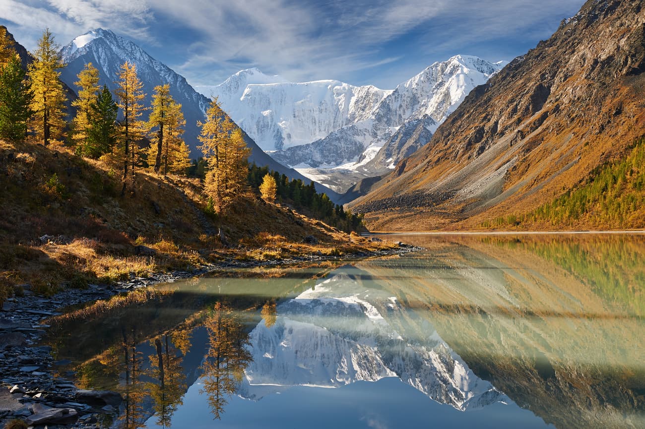
Roerich Museum is located in the buffer zone of the Reserve on the Upper Uymon River (the Republic of Altai, Ust-Koksinsky district, Upper Uymon village, Naberezhnaya, 20a). The museum is in a beautiful two-storey wooden house. Here in August 1926 Nikolay Konstantinovich Roerich stayed for 13 days during his Central Asian expedition. The museum keeps the interior of living rooms, utensils, personal belongings, books, maps, travel records, portraits, photographs and, most importantly, paintings of the great Russian artist. Roerich is famous not only for his bright and vibrant landscapes of the Altai mountains, he was a researcher as well. He led an expedition into the Central Asia regions and wrote a book on the ethics of Old Believers who lived in the area. The name of the book is Community.
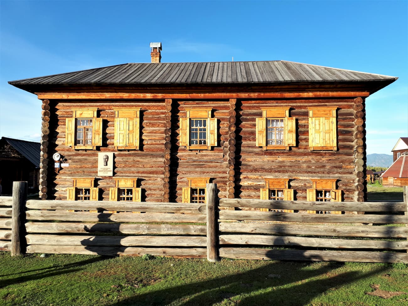
The Museum of History and Culture of the Uymon Valley is located in the village of Upper Uymon in an old house that used to belong to some Old Believers. The house is about 150 years old. Old Believers settled in Upper Uymon in the late 18th century and vigorously adhered to religious eastern orthodox practices that were common before the Russian church reform of 1652-1666.
In the museum you can get acquainted with the stories, life and culture of Old Believers of the Uymon Valley, see the interior of the house, a typical Russian stove, beds and benches, shelves for dishes. Don’t be shy when a stranger says hello to you, it's customary to be hospitable here and treat everyone with food. By the way, there are usually two sets of tableware: for the hosts and for the guests. The guests will eat only from plates specially assigned as ‘guest plates’ because according to local beliefs, a representative of civilization can infect the sinless Altai soul if he or she eats from the same plate as the local person. The custom actually stands to reason as it cares for everybody’s hygiene.
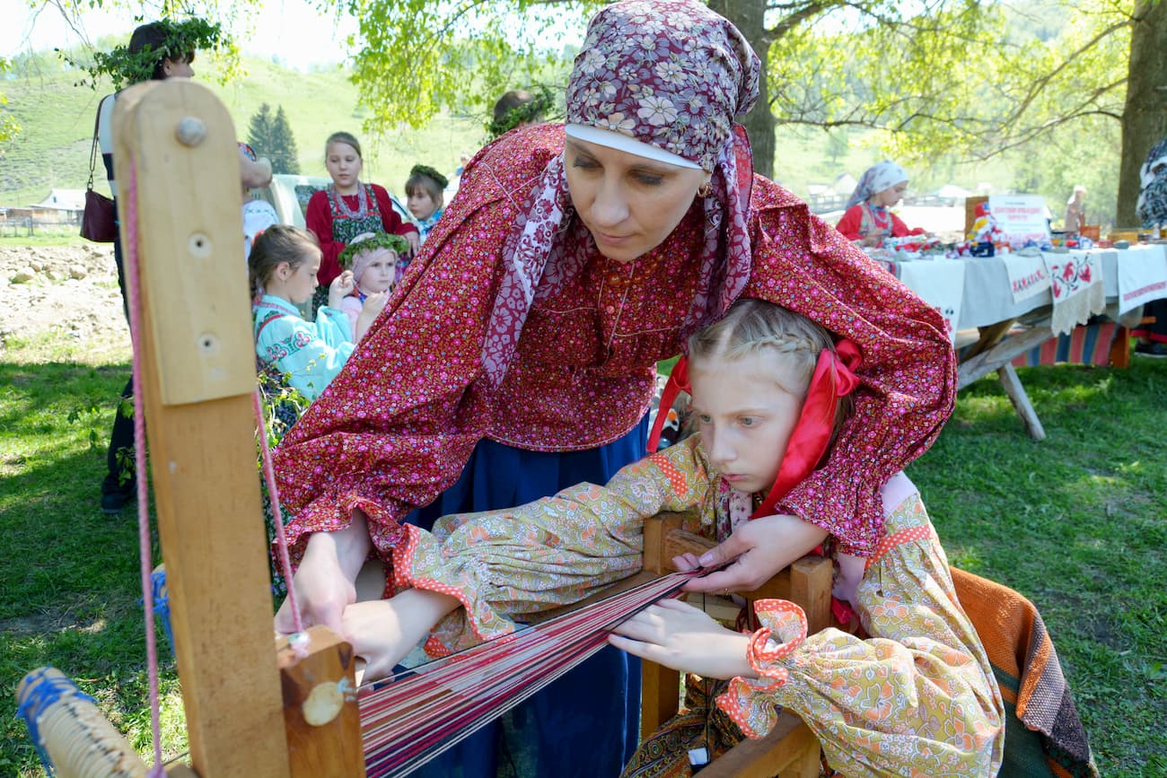
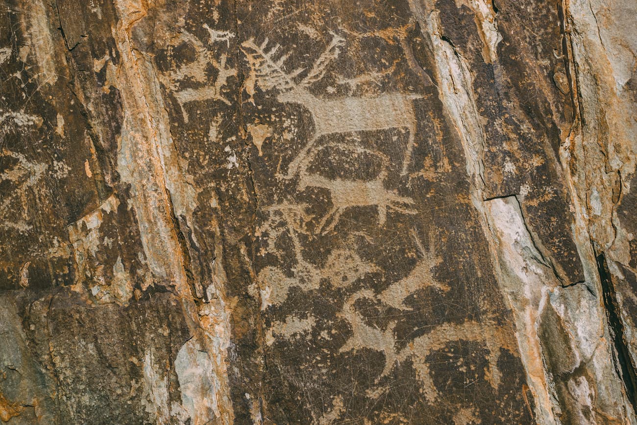
The ancient sanctuary is located on the right bank of the Kucherla River, at the mouth of the Kuylu Creek. It is a small grotto with over 100 petroglyphs that depict mostly animals. There are also several images of anthropomorphic creatures on the rocks of the grotto. The rock paintings date back to the Early Bronze Age. The grotto is likely to have been used by many generations of the locals in the area. Actually, it has never been empty, people have been continuously using it for thousands of years, which is unique for such dwellings.
The oldest paintings from the Bronze Age depict maral (aka Siberian stag). Scientists believe that the process of depicting an animal was a necessary component of antique hunting rituals. There are about a dozen other drawings within a radius of 1 km from the grotto. Petroglyphs from the Scythian Bronze Age are located 10 km down the river Kucherla.
In 1865, there was discovered a layer of permafrost in the Great Katanda barrow. When the explorers cut deeper they found unique items made of fabric, leather, and wood, all in really good condition. Some items were apparently stored in bundles. Among great finds is a perfectly preserved coat made in the animal style, with a long tail. It was found together with a felt carpet with color applications and some wooden carved accessories plated with gold foil. Later, a burial place of a warrior dressed in silk was excavated. The ornament of fabric had Chinese and Iranian motifs. The headboard contained a silver vessel with runic inscription. A sword, iron and bone arrowheads and a horse in full equipment were found in the burial. Only a few dozen mounds from the early Iron Age were excavated in the vicinity of Katanda. Currently, findings from the Katanda barrow are kept in the State Historical Museum in Moscow.
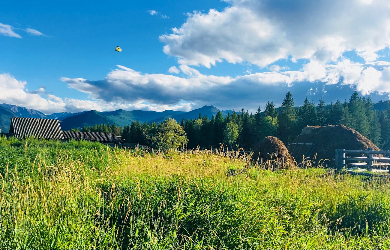
The waterfall is located on the Rossypnaya River, the first tributary of the Katun River. It drops from a ledge 35 meters high. You can see the waterfall when you go up the Katun to its source.
The Tekelu is a very beautiful and picturesque waterfall located on the Tekelu River, a tributary of the Akkem River. The Tekelu is the biggest waterfall in the area, it falls down from a steep cliff at a height of 60 meters. The name of the river and the waterfall comes from the Altai word Teke, a male mountain goat. Mountain goats are often found in the nearby Teke Valley.
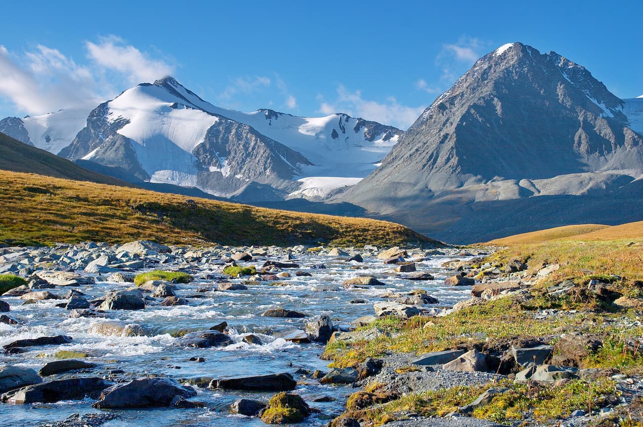
The Taimenye (also spelt as Taimen) is one of the most beautiful lakes in the Altai Mountains. It is located in the western part of the Katun Range at an altitude of 1,570 m in the basin of the river Ozernaya. Its length is astounding 5,420 m, the maximum width is 1,080 m (it is virtually a 5x1 km water basin), and the maximum depth is 74 m.
The picturesque milky lake is located in the upper reaches of the Kucherla River on the northern slope of the Katun Range. It is one of the largest lakes of glacial origin. The name of the lake comes from the Altai word "kudurlu" which means saline. The lake is located at an altitude of 1,786 m above sea level, its length is 5,220 m.
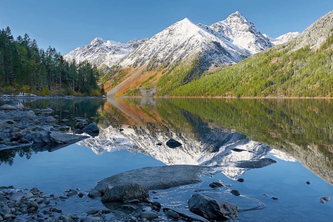
This lake with a long name that can be translated as Crosscut Lake is one of the most beautiful lakes in the Katun Reserve. The lake is surrounded by snow-white glaciers, mountains reflect in the water surface and some graceful goats are grazing nearby. The lake is located at an altitude of 1,885 m above sea level. Various birds, wagtails and gadflies feed on the shores near the water. Otters and minks are extremely rare here. The shores of the lake serve as watering places, feeding and hunting grounds for many taiga animals.
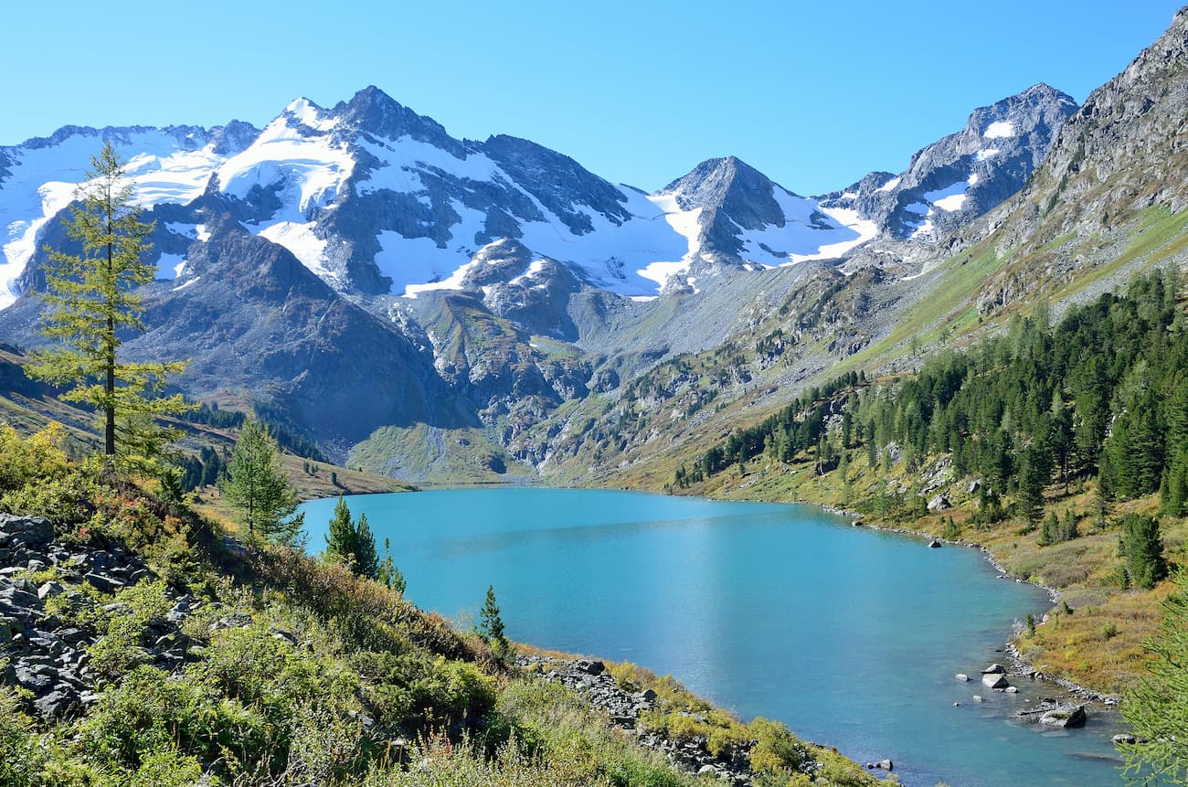
This lake is stunningly beautiful. It is a feast to the eye to see the unique contrast of pointed snow-capped peaks, the warmth of evergreen cedars and water of emerald color. Even though it is not the largest, Lake Upper Multinskoye is surely the most picturesque lake of the Katun Reserve. It is located in a cirque at an altitude of 1,795 m at sea level, the area is 40.8 hectares, the length is1,425m. The lake offers a mind-blowing view on glaciers and waterfalls. The lake is surrounded by alpine meadows where you can also find rare plant species such as pink roseroot (Rhodiola rosea), Rhodiola algida and tick trefoil (Hedysarum).
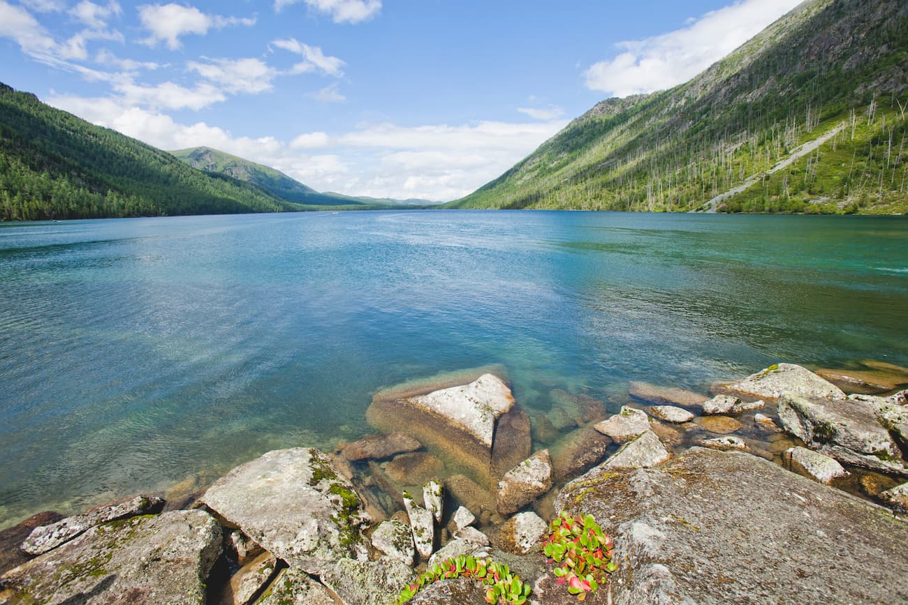
Lake Upper Multinskoye belongs to a cascade of lakes located on the northern slope of the Katun Range. The river Multa and its tributaries form several water basins, which are truly unique in their beauty. Lower and Middle Multinskiye lakes are natural monuments of the Republic of Altai.
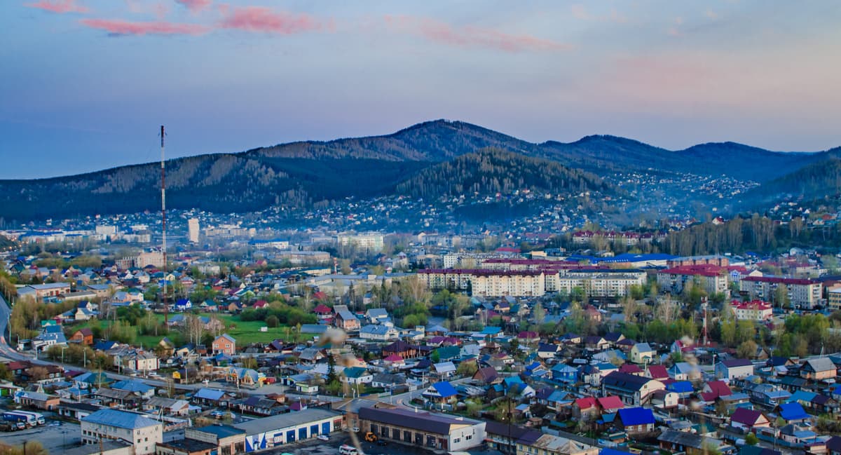
The Central Manor of the reserve and its Visitor Center are located in Ust-Koksa town. The Visitor Center itself is something between a manor of an old aristocrat and a fairy-tale tower. It has 3 floors and several interesting halls.
Here you can get a pass, rent a house, sign up for a tour, get some advice where to buy souvenirs, good local food and in general get all kinds of information. Here you can see an eight-cornered log house, the so-called ayla that was typical accommodation style for three ethnic Altai Turks, and no, these are not Turks from Turkey. It is an ethnic and ecological museum of Altai culture. The museum exhibits the authentic house interior, musical instruments, kitchen utensils, clothes, hunting and herding ammunition, as well as various tools. The Central Manor has a rockery – and alpine scree garden with stones. The main place in the rockery is given to rare plants which grow in the Altai.
The territory of the reserve is located close to the state borders, so a pass/a permit to travel in these lands is required. The Border Agency office is located in the village of Aktash of Ulagan district. Besides, it is necessary to get a permit to visit the reserve. It can be done in the Central Manor or in the Visitor’s Centre in Ust-Koksa village or directly on the cordons. Document checkup is a usual routine practice here, so make sure you have valid documents and permits on you at all times.
The reserve staff and guides of the Katun Reserve can walk you through many routes, it is definitely better to be accompanied when you travel in the Altai for the first time.
The wonderland of lakes and falls route takes you to the three famous lakes in just 1 day. On the way, you will pass by several powerful waterfalls as well. You will see Middle Multinskoye, Upper Multinskoye and Poperechnoye lakes. The route is about 3.5 km along the rivers Multa and Poperechnaya at an altitude of 2,000 – 2,600 m. Upper Multinskoye Lake lies at an altitude of 1,860 m, the maximum depth is 47 m. The lake is surrounded by sharp triangular peaks with heights above 3,000 m covered with glaciers and white sparkling snow. The water temperature in July is 8-12 degrees Celsius. Poperechnoye Lake, just like the Upper Multinskoye, is located in a large cirque at an altitude of 1,880 m and is surrounded by glaciers and eternal snows.
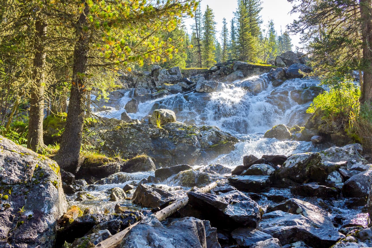
The Old Believers' Path is a route of the first category of difficulty. It is a multi-day (3-4 days) journey covering several dozen kilometers, some sections rise up to 2,760m. You will have overnight stays at the well-equipped cordon Ust-Kazinikha and at the mouth of the Yoldo river. The first one has a bathhouse and a waterfall nearby. The route runs through the Osinovka River mouth – cordon Ust-Kazinikha – the Yoldo River – the Yoldo Pass – the Upper Kuragan River (the most beautiful fragment of the Katun River). You will see Siberian elks, roes and musk deer, snow cocks, golden eagles, bears and the super-cute local Altai marmots. The animals roam freely and sometimes come up really close to people. The Old Believers' Path is the one taken by the Russian Old Believers who went to exile and settled in the Altai after the church reformation in the 17th century.
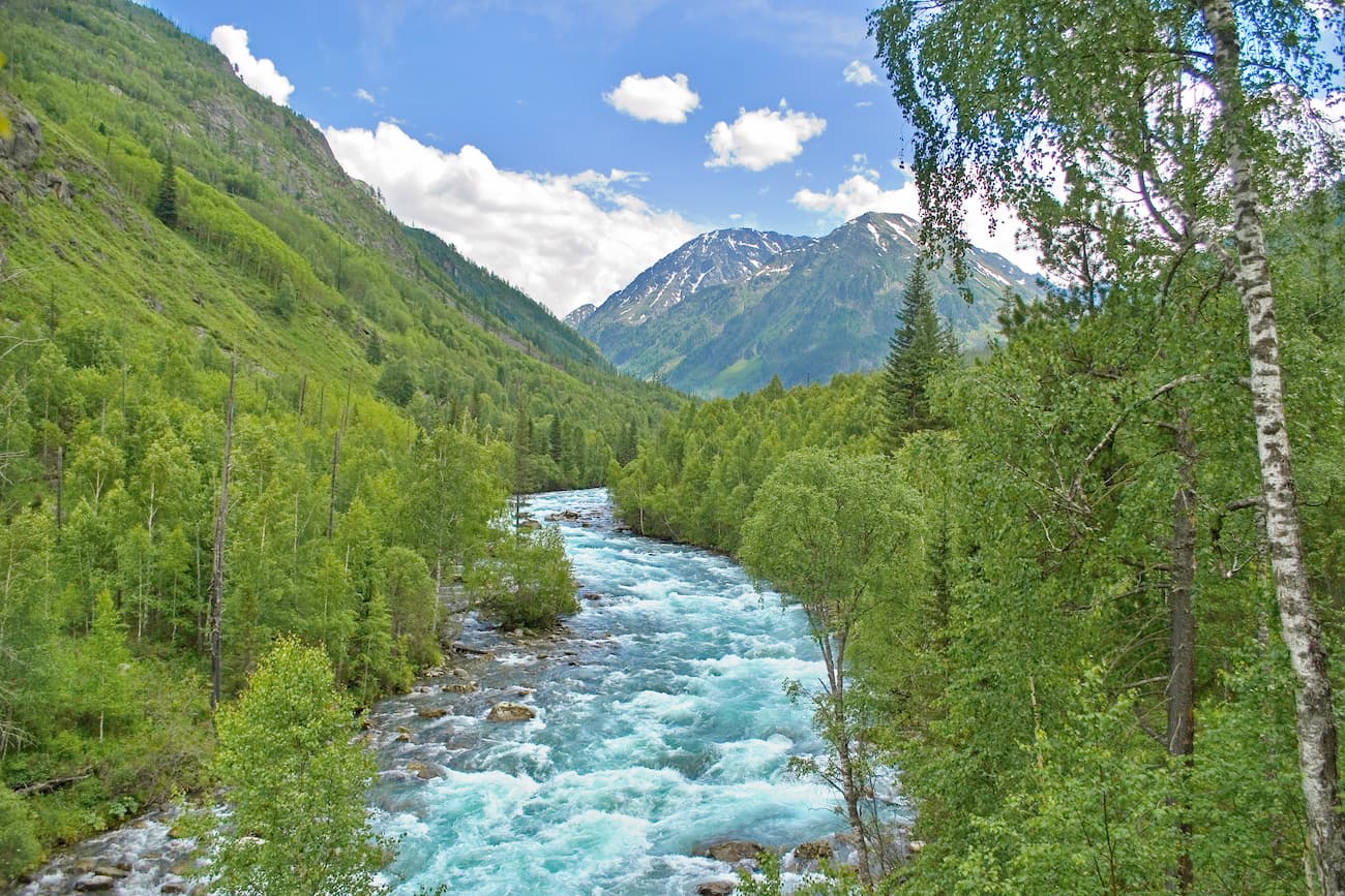
The Katun Highlands route is only for experienced hikers who have had some previous training. You will have to wade some rivers. Route starts at the Osinovka river estuary – cordon Ust-Kazinikha – the Kazinikha pass – lake Taimenye. The maximum elevation is about 2,500 m. traversing the Kazinikha pass is category 1A difficulty. On the Pass, there are several marmot settlements, and in good weather you can observe the life of these animals which are not afraid of man. You will stay overnight on a cordon, see the waterfall and another overnight stay is near the mountain lake Emerald. The final destination of the route is Lake Taimenye – the largest reservoir of the Katun Range. You can watch the playful bears, gracious Siberian elks and vigilant roes on the route. The crystal waters of the lake are home to different fish clearly observable with the naked eye.
The Kuragan Ring route requires some preparation since it is marked with category 1A difficulty. This route is a round-trip over the Katun Reserve. You will enjoy the peace and quiet of the tiny Blue lakes, colourful meadows strewn around the shallows of the Kazinikha river tributaries, you will conquer the dangerous terrain of the Losers’ Pass (2,614m.). The pass with the sad name offers spectacular panorama of all the glaciers of the Katun Range and Lake Upper Kazinovskoye in the buffer zone. You can camp in a tent here, but you are not allowed to gather brushwood for fire or pick up berries here. There are several overnight stays on the route.
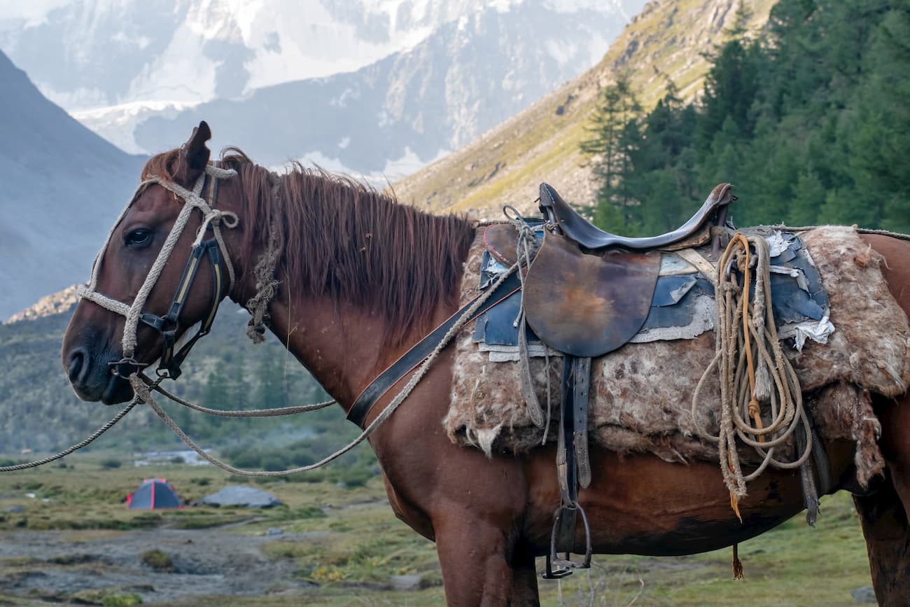
White Water (Belovodie) route is a journey that takes at least 5 days, it is fine for inexperienced hikers as well, there are no very difficult places here. You will climb the Tyurgen Pass, have some extreme descent to Lake Taimenye. Heights range from 750 to 2,300 m. The cherry on the pie of this hike is the remains of abandoned villages of dissenters (the second half of the route partially covers Old Believers' Path). There are places for camps, bivouacs and a bathhouse at the checkpoint Tyurgen. As to the wildlife, grab your camera because you will see plenty or elks, roes and bears.
The Soloukha River Waterfall route is virtually a one-day trip that does not require any special mountain trekking experience. The only thing you need here is general stamina and good fitness level. The main gems are the lake with a huge colourful carpet of endemic plants around it. You will see the Altai onion and carthamoid rhapontic – a fav of the local elks and roe deer. The sight to behold is the grandiose waterfall itself, it is a cascade of waterfalls with the largest reaching a height of 8 meters. The water falls in several streams, crashes on the rocks and rushes into a single stream, which falls into a hollow that resembles a bowl. In these places, it is quite common to meet the master of the taiga – a bear.
The Administration of the Katun State Natural Biosphere Reserve is located at: 649490, Russia, the Republic of Altai, Ust-Koksa, Zapovednaya St., 1.
To get to the reserve, you need to fly by plane to Barnaul (airport Mikhailovka) or Gorno-Altaisk (airport Maima) or Novosibirsk (airport Tolmachevo) or take a train to Barnaul or Biysk. Then by bus go to the village of Ust-Koksa. There is a daily bus service from Barnaul (one bus per day) and scheduled shuttle bus service from Gorno-Altaisk to Ust-Koksa. You can also book a ride from Barnaul or Biysk by minibus or bus.
The distance to Gorno-Altaisk is 320 km, to Biysk is 420 km, to Barnaul is almost 600 km, to Novosibirsk is 850 km. There is no railway in Gorno-Altaisk, so you can travel by train only to Biysk, which is 100 km away.
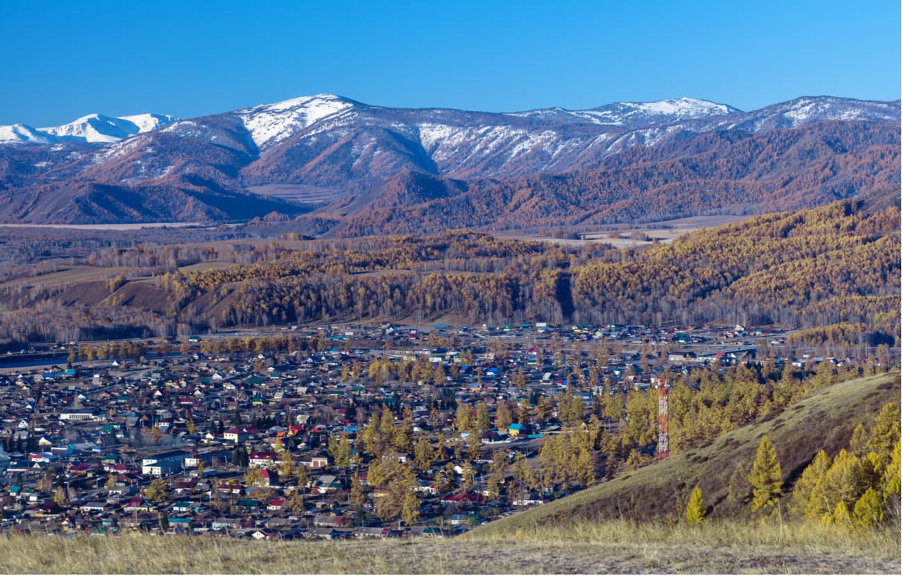
Mind you, there are no inhabited settlements on the territory of the reserve, the nearest are in Ust-Koksa district in Russia (at a distance of 40 km) and in Kazakhstan (15 km from the reserve borders). There are no roads leading to the reserve from Ust-Koksa district, it is possible to get there only by water, you have to take a boat on the Katun river. If you travel from Kazakhstan, it is possible to reach the reserve by cross-country vehicles.
Explore Катунский заповедник with the PeakVisor 3D Map and identify its summits.


