Get PeakVisor App
Sign In
Search by GPS coordinates
- Latitude
- ° ' ''
- Longitude
- ° ' ''
- Units of Length

Yes
Cancel
❤ Wishlist ×
Choose
Delete
Locally known as “Monkey Hill,” Kam Shan Country Park is a realm of macaques, reservoirs, and war relics that’s located in the Hong Kong Special Administrative Region of China. The park has 4 named peaks, the highest and most prominent of which is Golden Hill (369 m/1,211 ft).
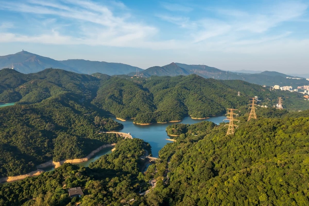
Kam Shan Country Park occupies an area of 337 hectares (833 acres), mainly in the district of Shatin in the New Territories of Hong Kong. Its southern part extends into the Sham Shui Po District of the Kowloon Peninsula. Kam Shan borders Shing Mun Country Park to the north and Lion Rock Country Park to the southeast.
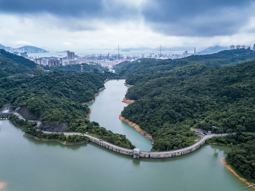
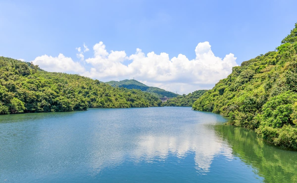
The park basically serves as a catchment area for the four reservoirs within its borders—Shek Lei Pui Reservoir, Kowloon Reservoir, Kowloon Reception Reservoir, and Kowloon Byewash Reservoir. Together, they are known as the Kowloon Group of Reservoirs.
The reservoirs are clustered in the southern and lower end of the park, which is essentially a valley. In the higher northern end of the park, the Smugglers’ Ridge connects with the larger Shing Mun Valley.
The geology of Kam Shan is typical of the Kowloon Peninsula, as it consists mostly of granitic rocks that have been heavily weathered in the subtropical climate. The resulting topography is relatively low and gentle with some pockets of eroded badlands, especially to the south of Smugglers’ Ridge.
The rocks in the park are primarily a medium-grained granite that formed from cooling magma during the Upper Jurassic period about 140 million years ago. The creation of this Upper Jurassic granite was followed by a small-scale intrusion of younger, fine-grained granite in the form of dykes.
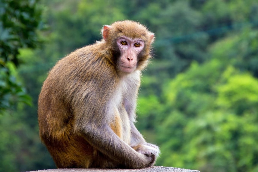
True to its nickname, “Monkey Hill,” Kam Shan Country Park is home to a significant portion of the 1,800 or so macaques that live in Hong Kong. The species of macaques that live in Hong Kong and in the park consist of rhesus macaques, long-tailed macaques, and hybrids of the two.
While the rhesus macaque is native to Hong Kong, the wild stock died out long ago, and the current population descends from individuals released into the Kowloon hills a century ago. The long-tailed macaque was introduced to the area in the 1950s.
The rhesus macaques were originally released to reportedly "control the spread of the strychnos plant that grew around the reservoirs. At the time, it was thought that the fruit of the plant, which is poisonous to humans, could contaminate the region’s reservoirs. However, the plant and its fruit are edible for macaques, so some believed that reintroducing the monkeys to the park could help limit the number of strychnos plants in the region.
However, after the monkeys were introduced, people started to feed them. This led to a boom in the number of rhesus macaques on the island. In addition to the creation of a feeding ban in 1999, the most important monkey population management tactic on the island is a contraceptive program that was introduced in 2007.
Other animals commonly found in the park include wild boars and birds such as crested goshawks, black kites, and common kingfishers. There are various species of butterflies that live in the park, too, like the common eggfly and common jay.
The area harbors a rich diversity of native flora, including the rose myrtle (Rhodomyrtus tomentosa), Hong Kong gordonia (Gordonia axillaris), and common melastoma (Melastoma malabathricum).
There is also an abundance of exotic trees in the park area. This includes species such as the Brisbane box (Lophostemon confertus), paper-bark tree (Melaleuca quinquenervia), and different kinds of eucalyptus. Most of these species were introduced to the area in the 1950s.
The four reservoirs in what is now Kam Shan Country Park were completed between 1910 and 1931 to supply water for the growing population in Kowloon and the southern New Territories. The oldest of them, Kowloon Reservoir, was also the first reservoir built in the New Territories. Five of its structures, including the arc-shaped main dam, have been declared monuments.
The small capacity of the reservoirs led to frequent overflow during heavy rainstorms, at times flooding downstream urban areas in Kowloon. To reduce overflow and allow for better utilization of the water, the construction of a water tunnel that will divert surplus water from Kowloon Byewash Reservoir to Lower Shing Mun Reservoir began in 2019.
Smugglers’ Ridge played an important role in the city’s military history thanks to its strategic position connecting Kowloon and New Territories. In the late 1930s, just before the Second World War, the British colonial government built a key defense line—the Gin Drinkers Line—in the area in anticipation of a Japanese attack.
The focal point of the 18-km (11-mi) line was the Shing Mun Redoubt, a 4.9-hectare (12-acre) underground citadel on the northern part of Smugglers’ Ridge. It was a network of pillboxes, observation posts, trenches, and bunkers that were connected by tunnels and named after the streets of London.
The redoubt was seriously undermanned and it eventually fell to the Japanese in December 1941 after a brief battle. But many features of the redoubt have been preserved on what is now the Shing Mun War Relics Trail.
Kam Shan Country Park was designated in 1977 as one of the first three country parks in Hong Kong. The other two parks that were designated at the same time were the neighboring Shing Mun Country Park and Lion Rock Country Park.
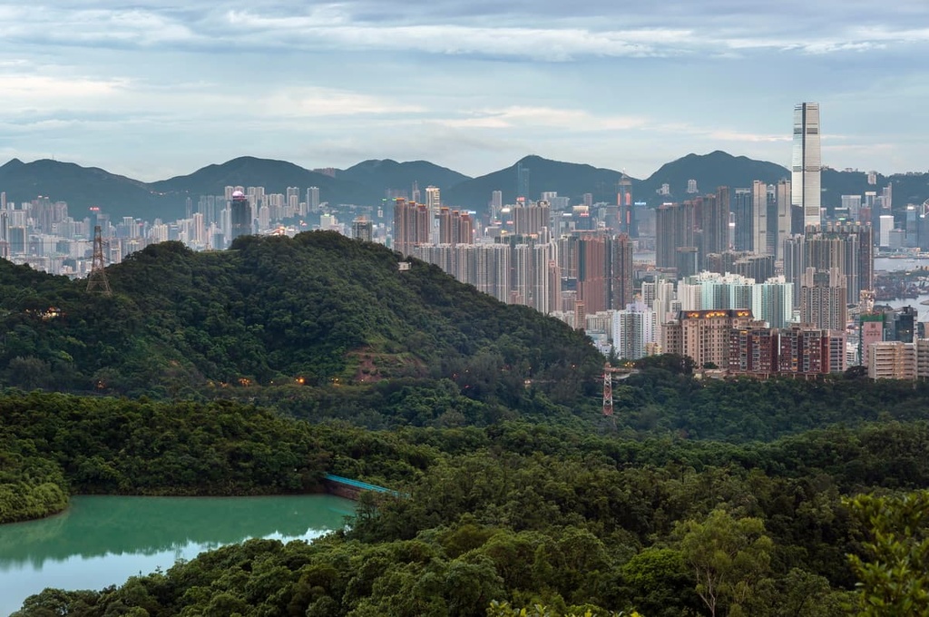
Because of its proximity to urban Kowloon, the area of Kam Shan had been popular with local morning walkers before it became a country park. In the years before 1977, some locals took matters into their own hands by putting up recreational facilities such as rain shelters, picnic tables, and exercise bars in the region without government permission.
The most well-known of these early recreational areas in the park is Fools’ Paradise (傻人樂園), which was completed in 1970 by a group of morning walkers who called themselves fools. When the government planned to remove the facilities after the country park was established, some of the “fools” took the government to court.
Since the recreational areas were well used by the public and they were built with good intentions when the Country Parks Ordinance was not yet in place, the courts decided that these recreation areas, including Fools’ Paradise, were allowed to remain in the park. This was a landmark case in Hong Kong as it gave some protections to unlawful occupation of certain lands in the city for recreational purposes.
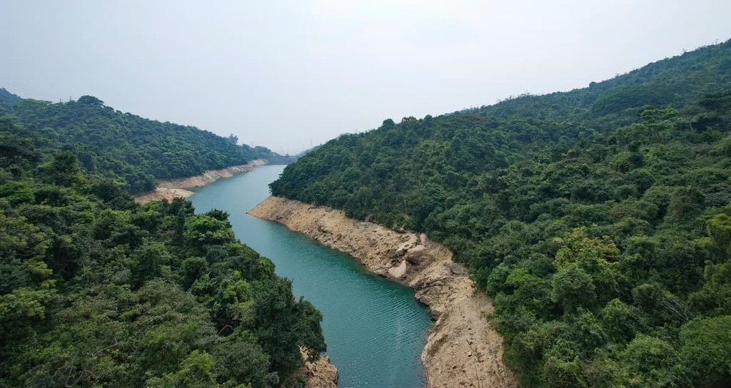
The trails in Kam Shan Country Park are relatively short and easy, but hikes in the area can be easily extended into the adjacent country parks. Here are some of the best trails and attractions to check out during your next trip to the park.
At just 3 km (1.9 mi) long, this looped trail around the Kowloon Group of Reservoirs combines natural beauty with human ingenuity in a relatively short distance. It is graced with clear waters, luxuriant vegetation, and historic waterworks that have been serving the city for a century. It also offers glimpses of the hills and concrete jungle that surround Kam Shan Country Park.
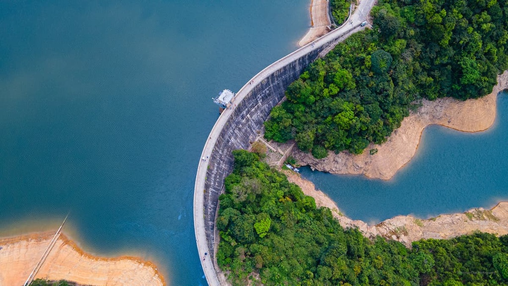
The curving shape of the main dam of Kowloon Reservoir, which was designed to divert water pressure away from the dam, is quite rare in Hong Kong. Jogging trails enclose Shek Lei Pui Reservoir and Kowloon Reception Reservoir. While on this trail, you can also make a short detour to Kam Shan Tree Walk to learn more about local plants.
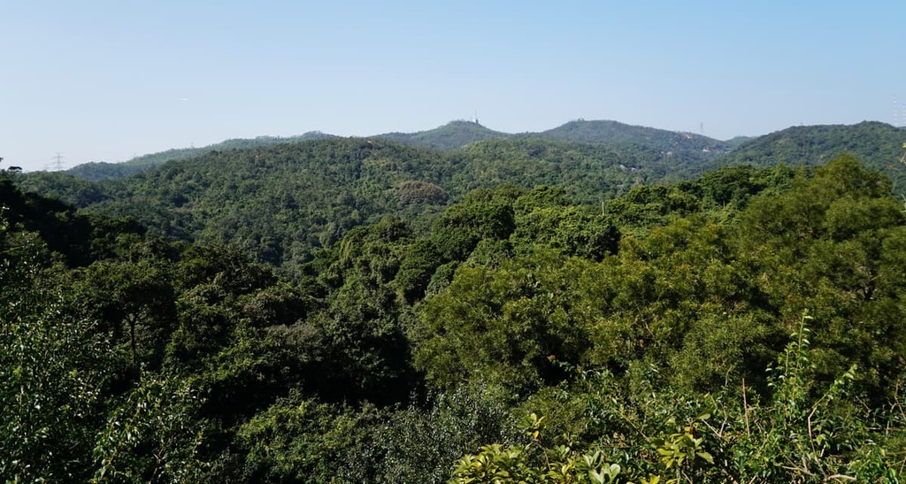
Smugglers’ Ridge refers to both the ridge itself and the highest peak (337 m/ 1,106 ft) on the ridge. Despite its modest height, Smugglers’ Ridge commands panoramic vistas of the sprawling cityscape and rugged countryside, including the iconic Lion’s Rock and the city’s highest peak, Tai Mo Shan.
The ridge is a favorite of military history buffs because it contains many relics from World War II. Many of the relics are off-limits due to safety concerns, but there is still plenty to see during your trip to the area. The northern end of the ridge also extends into Shing Mun Country Park, so it offers plenty of opportunities for further adventure.
Kam Shan Country Park is usually approached from Tai Po Road in Sham Shui Po, a down-to-earth neighborhood that bustles with people and energy. Among its haphazard streets and old buildings, shoppers in Sham Shui Po can hunt for bargains in markets while foodies can dine at nondescript Michelin-recommended restaurants.
Apart from an impressive line-up of local eateries, attractions of Sham Shui Po include an open-air market for electronic trinkets at Apliu Street, the revitalized shophouse building of Lui Seng Chun, and the nearly 2,000-year-old Lei Cheng Uk Han Tomb Museum.

Explore Kam Shan Country Park with the PeakVisor 3D Map and identify its summits.


