Scan the QR code and open PeakVisor on your phone
Home to spectacular wildlife, beautiful coastlines, and amazing ecosystems, the Gulf Islands are an outdoor recreation paradise located in the southern part of the Canadian province of British Columbia. The park reserve contains 12 named mountains, the highest and most prominent of which is Mount Warburton Pike (402 m/1,319 ft).
Gulf Islands National Park Reserve (GINPR) protects roughly 36 square kilometers (14 sq. mi) of land and intertidal areas in the southernmost part of the province of British Columbia in Canada near the province’s maritime border with the US state of Washington. However, it is not to be confused with the Gulf Islands National Seashore, which is located off the southern coast of Mississippi in the United States.
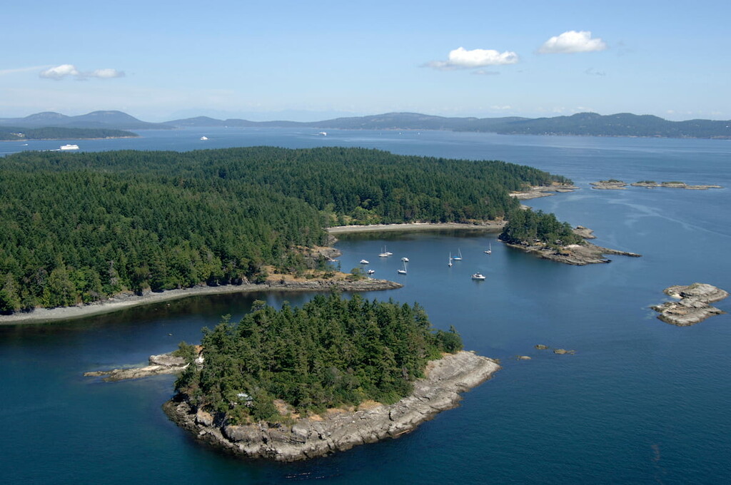
The park reserve includes part or all of 15 of the southernmost Gulf Islands to the southeast of Vancouver Island, including Satura, North and South Pender, Mayne, Prevost, Portland, Sidney Islands, and a number of small islands and islets.
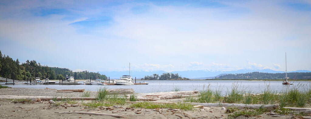
Mayne, Saturna, and Pender Islands can be reached via a ferry from Swartz Bay and Sidney Sit can be reached from the town of Sidney. But, the rest of the park and protected waters can only be accessed by kayak, powerboat, or sailboat.
The park is also responsible for the management and preservation of several square kilometers of marine area located around islets of the reserve.
Although Gulf Islands National Park Reserve is naturally isolated from its surroundings by virtue of being a collection of islands, the park reserve is located near a number of other outdoor recreation destinations.
This includes Mount Maxwell Provincial Park, Burgoyne Bay Provincial Park, Mill Farm Regional Park Reserve, and Mount Tuam Ecological Reserve to the west on Salt Spring Island to the west.
Other nearby parks include Moran State Park and Turtleback Mountain Preserve on Orcas Islands in the San Juan Islands of the US state of Washington to the east. Gulf Islands National Park is also located close to Sucia Island Marine State Park in Washington.
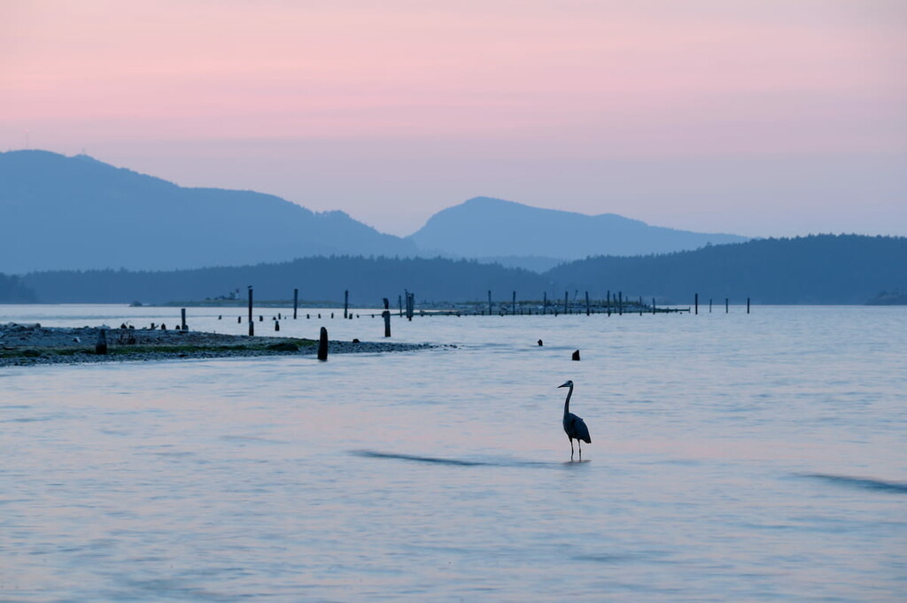
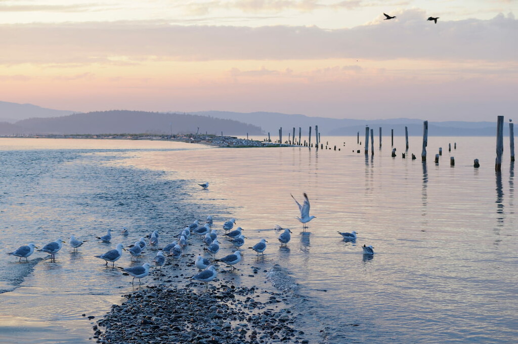
The lands and waters of the park reserve are rich and biologically diverse. The park supports a unique variety of bird, plant, and marine life.
The largest land animal that can be spotted in the park is the black-tailed deer. Additionally, orcas, porpoises, seals, salmon, river otters, and three-spined stickleback are also residents of the park.
The preserve lies within the Dry Coastal Douglas-fir ecosystem, one of Canada’s most at-risk ecosystems. The park’s dominant vegetation is coastal Douglas-fir, western cedar, shore pine, Pacific dogwood, bigleaf maple, and red alder. Drought-tolerant trees, including species of the genus Arbutus, as well as some Garry oak, can also be found in the park.
The southern Gulf Islands have a rich human history dating back thousands of years. The Coast Salish people have thrived in the region since time immemorial and continue to live and use the islands today. Their knowledge, culture, and oral history have been passed down from generation to generation and remain an important part of the reserve.
Though technically established in 2003, the Gulf Islands National Park Reserve is still largely considered a work in progress. The existing park contains a patchwork of ecological reserves, provincial parks, and newly acquired private lands. However, it does not have a proper visitor’s center and it offers far fewer amenities or facilities as other British Columbia parks.
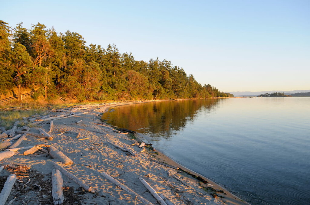
The Gulf Islands are one of the most popular marine recreation areas in Canada. Kayaking and sailing are among the best ways to experience the reserve. The park reserve is also an excellent destination for hiking, wildlife viewing, picnicking, and camping.
Here are some of the best hiking and outdoor recreation areas to check out within the park reserve:
Located in Bedwell Harbour on the south side of South Pender Island, Beaumont Park is a beloved local boating destination and one of the most popular destinations on South Pender Island. The 58 hectare (144 acre) Beaumont Park was incorporated into the Gulf Islands National Park, along with nearby Mount Norman.
The park boasts a beautiful beach, rocky shoreline, tidal pools, several scenic hiking trails, and a wilderness campground. The park can be accessed via a 2.4 km (1.5 mi) hiking trail or by boat.
Located on Pender Island, 266 m (873 ft) Mount Norman boasts spectacular views of Vancouver Island, the northwest side of Pender Island, and the distant Olympic Mountains. The trail to the summit is short and steep, but not particularly difficult. The trailhead can be located on Ainslie Point road, just over the bridge between North Pender and South Pender.
According to locals, the best views in the Gulf Islands National Park Reserve can be found at the summit of its tallest peak, Mount Warburton Pike. After climbing roughly 152 m (500 ft) over the course of 5.5 km (3.4 mi) RT, visitors are rewarded with incredible views of surrounding islands and the Salish Sea.
Looking for a place to stay during your trip to Gulf Islands National Park Reserve? Here are some of the best cities and towns to check out:
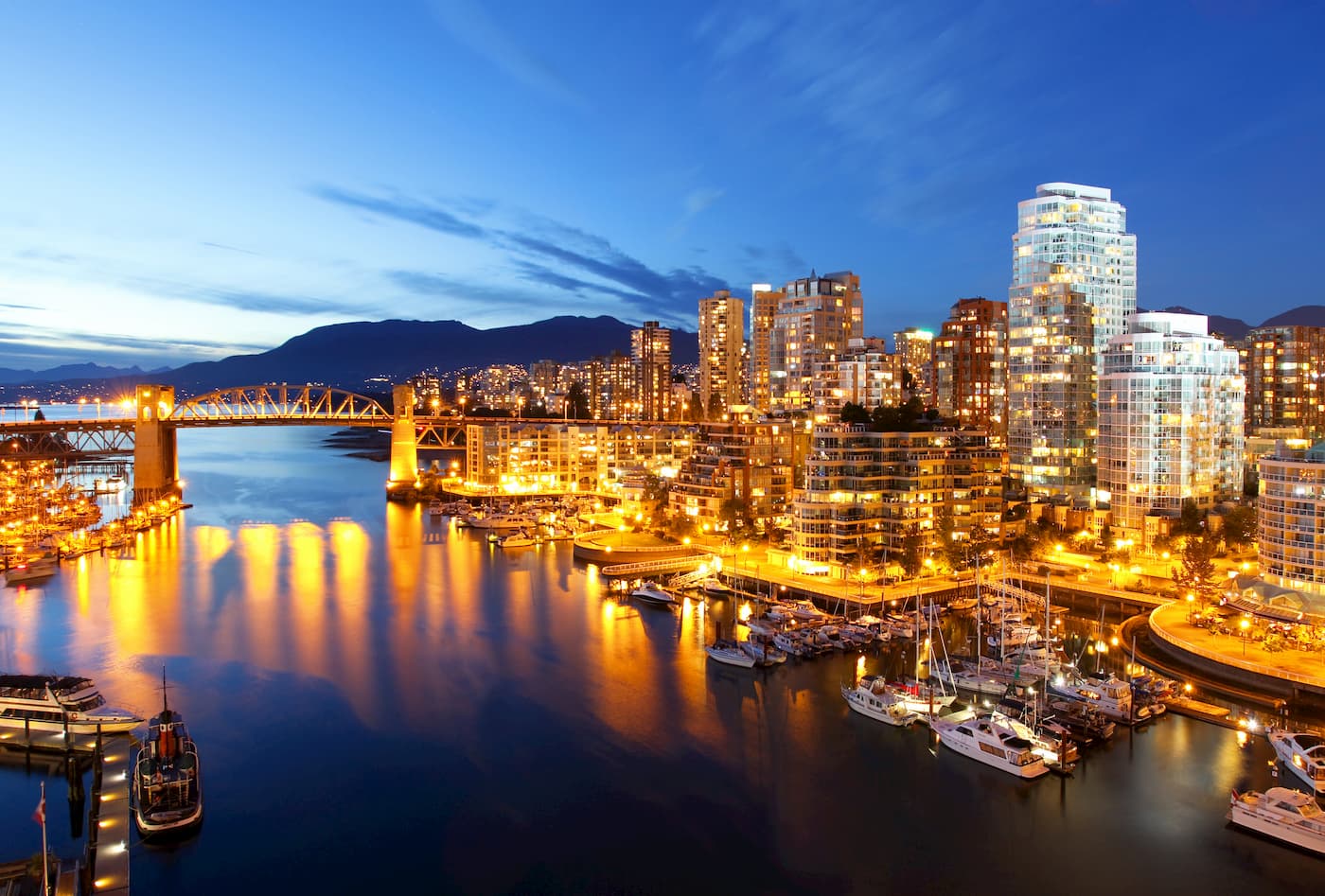
Vancouver is a city packed with pristine beaches, epic suspension bridges, miles of scenic hiking trails, and an abundance of biking, kayaking, and fishing opportunities. The city itself is surrounded by mountains and is known for its thriving art, theater, and music scenes. Vancouver is incredibly walkable and contains several scenic vistas and parks, as well as plenty of accommodations and eateries.