Scan the QR code and open PeakVisor on your phone
Featuring towering peaks that can be seen from Mexico City, Parque Nacional Cumbres del Ajusco (Cumbres del Ajusco National Park) is a federally protected area located in south-central Mexico. The park is home to 4 named peaks, the highest and most prominent of which is Cerro La Cruz del Marquez (3,929m/12,890ft).
Cumbres del Ajusco National Park (Parque Nacional Cumbres del Ajusco is a small national park located in the southern part of Mexico City (formerly the Distrito Federal). The park is located within the administrative subdistrict of Tlalpan just to the west of the town of Santo Tomás Ajusco.
At just 920 hectares (2,300 acres) in size, Cumbres del Ajusco is one of the smaller parks in Mexico. It is slightly smaller than nearby Cerro de la Estrella National Park (Parque Nacional Cerro de la Estrella), and slightly larger than Cerro de Garnica National Park (Parque Nacional Cerro de Garnica) to the northwest in Michoacán.
Despite being located just outside the most populous city in all of North America, Cumbres del Ajusco is also situated within driving distance of a number of other major areas of public land.
This includes the nearby national parks of El Tepozteco, Nevado de Toluca, Desierto de los Leones, Lagunas de Zempoala, and Iztaccíhuatl-Popocatépetl. Furthermore, the park is located near Malinalco-Tenancingo-Zumpahuacán Protected Natural Area (Área natural protegida Tenancingo-Malinalco-Zumpahuacán) and Cobio Chichinautzin Wildlife Protection Area (Área de Protección de Flora y Fauna Cobio Chichinautzin).
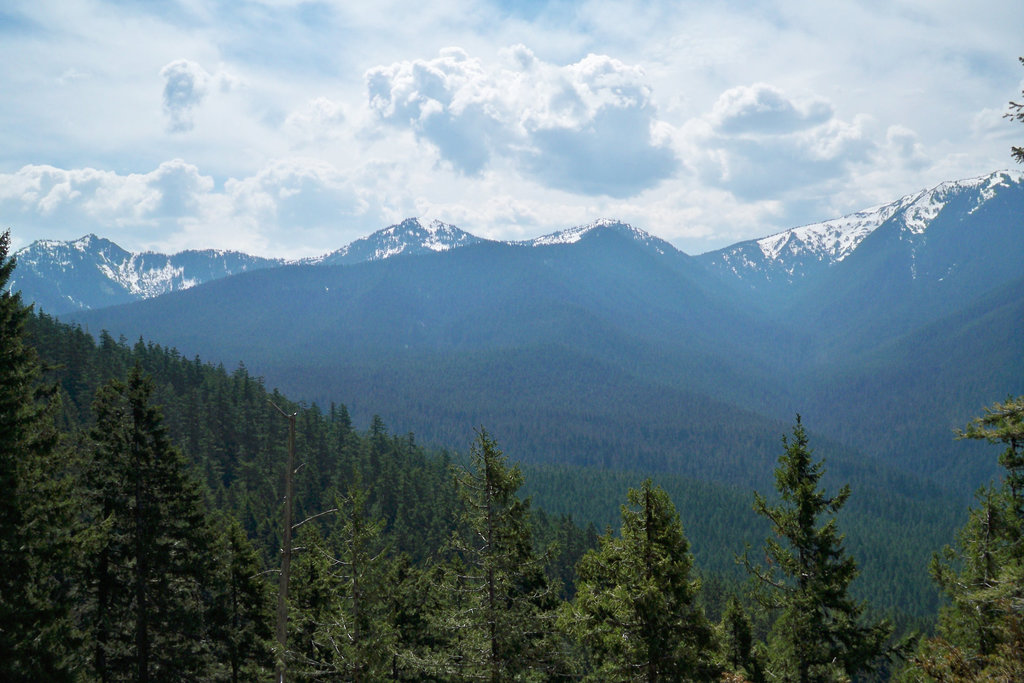
The peaks within Cumbres del Ajusco are part of the Cordillera Neovolcánica (Trans Mexico Volcanic Belt), which is one of the major mountain ranges in Mexico. The range stretches from Veracruz in the east to Colima and Jalisco in the west, forming a major natural barrier that splits the country in half from north to south.
Furthermore, the park is located within the Sierra de Ajusco-Chichinauhtzin subrange of the Cordillera Neovolcánica, which separates Mexico City from the states of Mexico and Morelos.
Geologically, the range is highly volcanic, having formed as the Riveras and Cocos plates subducted under the North American plate. The primary massif within the park, the Ajusco massif, is itself a lava dome complex that’s believed to date back to the Pliocene.
The rock in the area is, fittingly, volcanic, and some of the major rock types include dacites, andesites, and basalts.
Moreover, Cumbres del Ajusco is technically part of the Chichinautzin volcanic field, which covers much of the area immediately to the south of Mexico City. While the volcanic field is technically active, however, its last major eruption is believed to have been well over 1000 years ago.
The main high points in Cumbres del Ajusco include Cerro La Cruz del Marquez, Ajusco, Pico El Águila, and Cerro Santo Tomás.
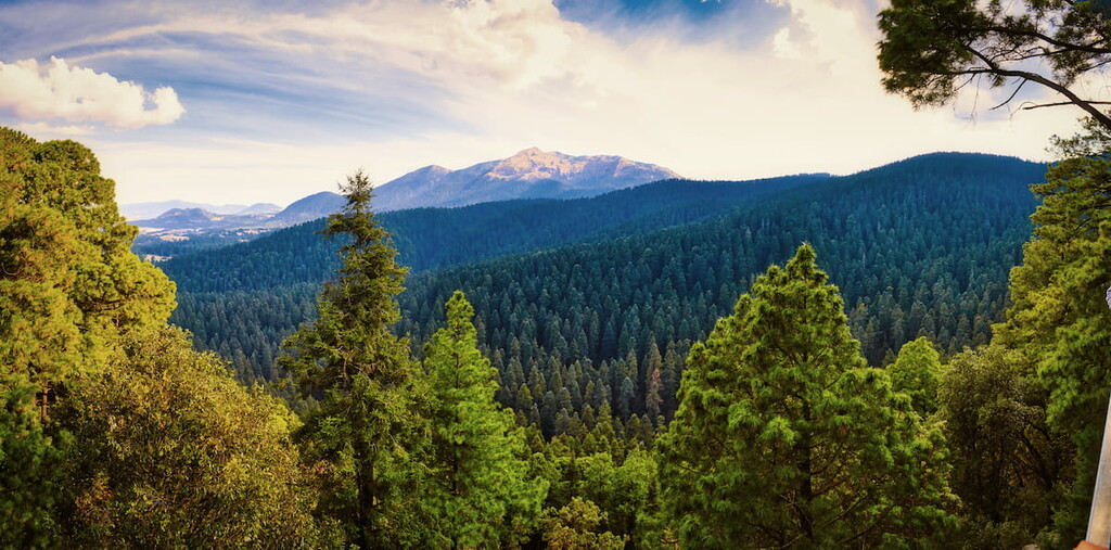
Like the rest of the Cordillera Neovolcánica, Cumbres del Ajusco is home to a great diversity of flora and fauna.
Throughout the lower elevations of the park, the landscape is heavily forested. It contains stands of a number of different tree species, including Hartweg’s pine, oyamel fir, Chihuahua pine, Montezuma pine, teocote, and netleaf oak.
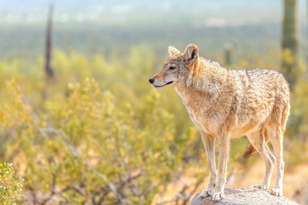
Additionally, the park is home to many mammals, such as bobcats, coyotes, skunks, weasels, opossums, shrews, squirrels and bats.
It is also the home to the teporingo, or volcano rabbit, which is the second smallest rabbit species in the world. The species is endemic to central Mexico and is highly endangered. It tends to live in burrows in volcanic areas, so consider yourself lucky if you manage to spot one during your travels.
Other notable animals in the park include an assortment of bird species, such as golden eagles, woodpeckers, sparrows, swallows, and chalk-browed mockingbird.
The area in and around what is now Cumbres del Ajusco National Park has long been home to humans. In particular, the region directly around the park is part of the traditional territory of many people, including the Otomi Nation, the Chichimecas, and the Tepaneca.
Due to the region’s proximity to Mexico City, it was heavily settled by the Spanish after the fall of the Aztec Empire. The region’s mild climate and extensive forests also helped it become a popular tourist destination for wealthy residents of Mexico City.
Around this time, the Viceroyalty of New Spain also encouraged the establishment of missionaries in the region to try and forcibly convert the Indigenous peoples of the area to Christianity.
During the latter part of the nineteenth and the early part of the twentieth centuries, the region around the park became more heavily industrialized with the construction of major factories. However, its relative isolation from Mexico City meant that the region still retained much of its rural charm.
In 1936, cumbres del Ajusco was officially declared to be a national park, making it the third oldest in the country. The park was further expanded to its modern boundaries in 1947, paving the way for increased outdoor recreation in the region.
More recently, the park has become a popular destination for outdoor enthusiasts, including among hikers and mountaineers. The park is also becoming more popular for ATV and motocross, as well as a popular site for the playing of the paintball.
These contrasting land uses have led to some conflicts over the years, creating a challenge for local land managers who strive to balance use of the land with environmental protections. Nevertheless, the park is a great place to hike and enjoy the outdoors if you’re in nearby Mexico City.
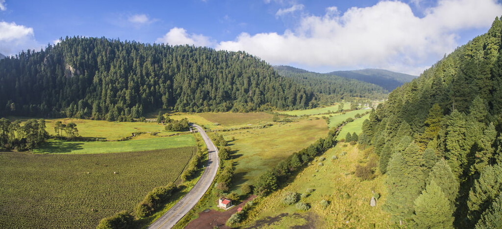
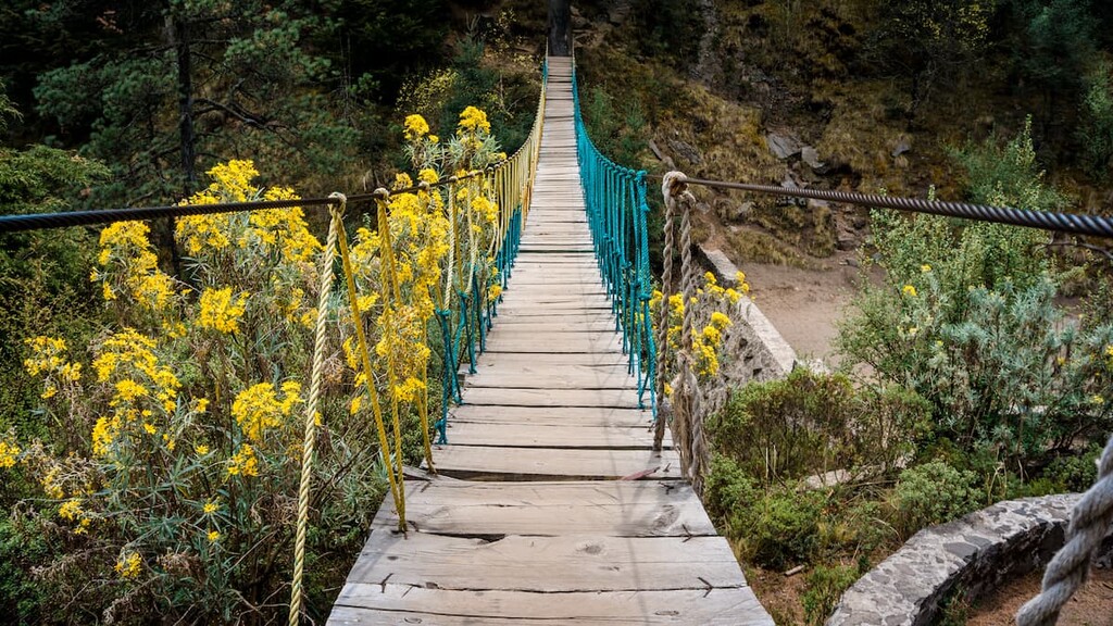
Due to the small size of Cumbres del Ajusco National Park, hiking trails are relatively limited. However, there is plenty of adventure to be had in the park if you know where to look.
Easily the most popular hike in the park is the Cerro Ajusco Summit Trail, which is a loop trek that’s about 9.3 km (5.8 mi) long. The trek starts at a trailhead right off of Circuito Ajusco, the main road that travels to the north of the park.
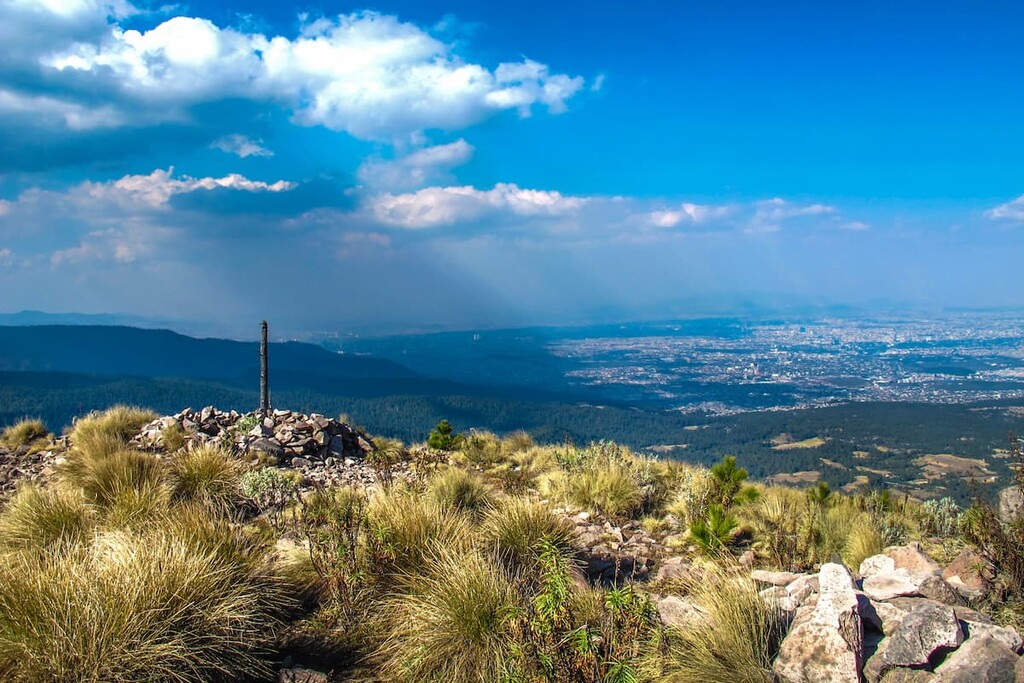
From the trailhead, the hike climbs steadily along a marked path up and out of the forest. Eventually, the forest gives way to alpine terrain and the summit itself. At the summit, you can sit back and take in the view of Mexico City.
Then, you can either return the way you ascended or you can take a separate hiking trail down the west side of the mountain and then circle back toward your initial trailhead to form a nice loop hike.
On the lookout for a great place to stay when visiting Cumbres del Ajusco National Park? Here are some of the best cities to check out:
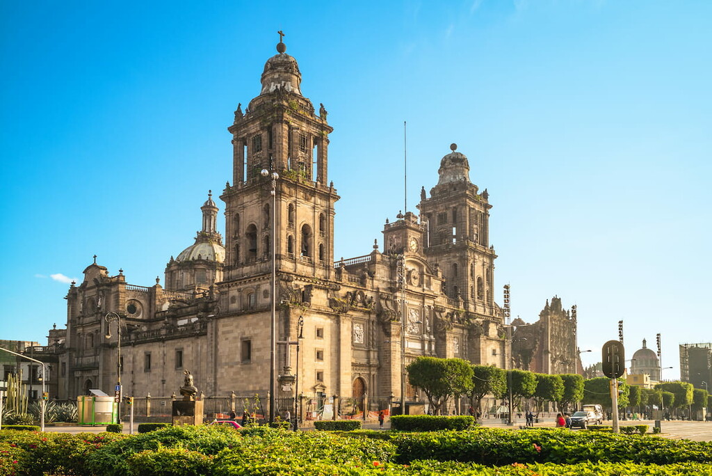
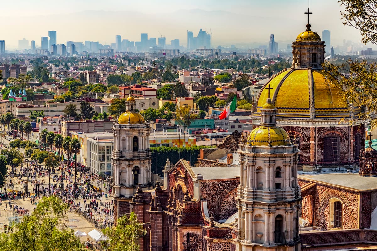
Situated to the northeast of Cumbres del Ajusco, Mexico City is the capital and largest city in all of Mexico. With nearly 9 million residents, Mexico City is also the most populous city in North America, while its greater metropolitan area has a population of over 21 million, which trails behind only São Paulo, Brazil as the most populous in the Western Hemisphere.
Mexico City is the center for commerce, culture, education, and tourism in Mexico. It is home to some of the country’s most famous buildings and the historic center of the city is also a UNESCO World Heritage Site. Furthermore, the city has a major international airport as well as an extensive public transportation network to facilitate easy travel in the region.
Located to the east of Cumbres del Ajusco, Santo Tomás Ajusco is a small town in Tlalpan within Mexico City. It is situated at around 3,000m (9,842ft) in elevation and it offers unparalleled access to the national park.
Santo Tomás Ajusco is also a worthy destination in its own right as the town is home to some beautiful historic buildings, including a church that dates back to the sixteenth century.