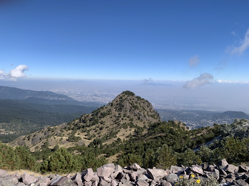
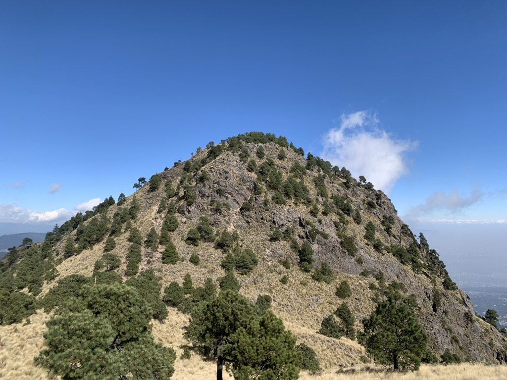
Pico del Águila is a peak of the mountain range called Ajusco Volcano 3,937 mt, located in Cumbres del Ajusco National Park (other Volcanoes that form part of the same area are: Malinali, Mezontepec, Pelado, Oyameyo, Malacatepec, Couepil, Cictontle, Xitli (or Xitle, this last erupted at the southern outskirts of Mexico City), in the borough of Tlalpan. It is a popular Sunday hike, and can be climbed in about two hours.
There's a trail leading to the summit.
By elevation Pico El Águila is
# 41 out of 53002 in Mexico # 3 out of 108 in Mexico City # 3 out of 35 in Tlalpan # 3 out of 4 in Parque Nacional Cumbres del Ajusco # 40 out of 9767 in the Cordillera Neovolcanica
By prominence Pico El Águila is
# 65 out of 108 in Mexico City # 19 out of 35 in Tlalpan # 2 out of 4 in Parque Nacional Cumbres del Ajusco
We use GPS information embedded into the photo when it is available.
3D mountains overlay
Adjust mountain panorama to perfectly match your photos because recorded by camera photo position might be imprecise.
Move tool
Rotate tool
Zoom
More customization
Choose which peak labels should make into the final photo and what photo title should be.
Next
Photo Location
Satellitte
Flat map
Relief map
Latitude
Longitude
Altitude
OR
Latitude
°'''
Longitude
°'''
Apply
Register Peak
Peak Name
Latitude
Longitude
Altitude
Register
Teleport
PeakVisor
This 3D model of Sagarmatha National Park in Nepal was made using the PeakVisor app topographic data. The mobile app features higher precision models worldwide, more topographic details, and works offline. Download PeakVisor maps today.
Download OBJ model
PeakVisor
The download should start shortly. If you find it useful please consider supporting the PeakVisor app.
PeakVisor for iOS and Android
Be a superhero of outdoor navigation with state-of-the-art 3D maps and mountain identification in the palm of your hand!