Scan the QR code and open PeakVisor on your phone
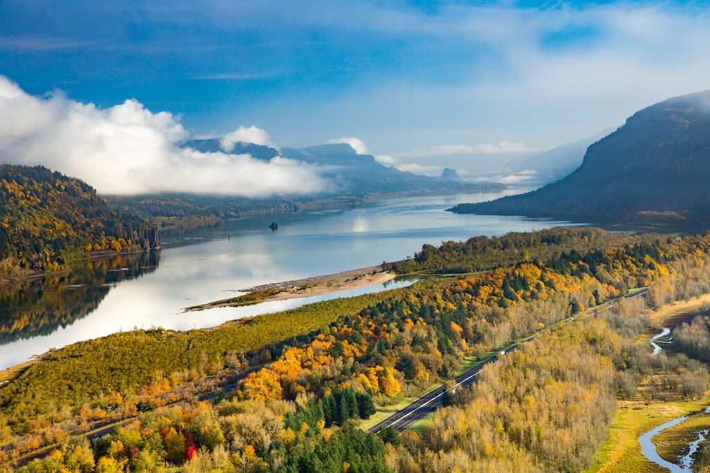
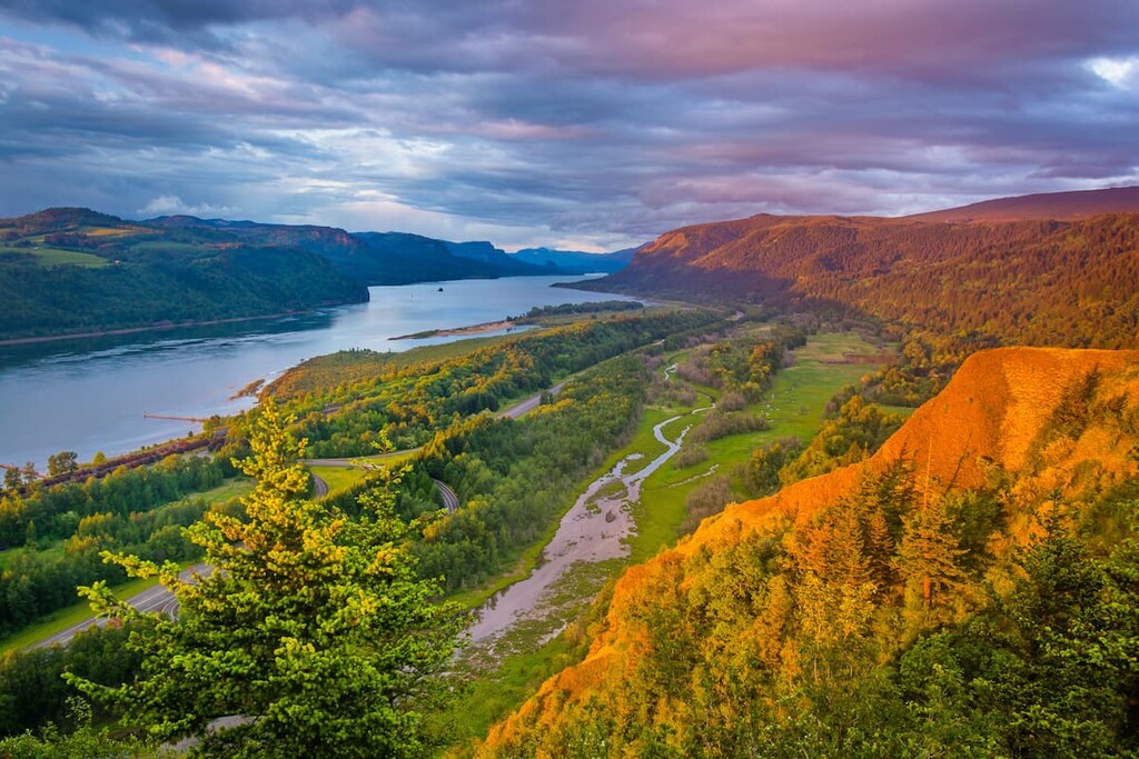
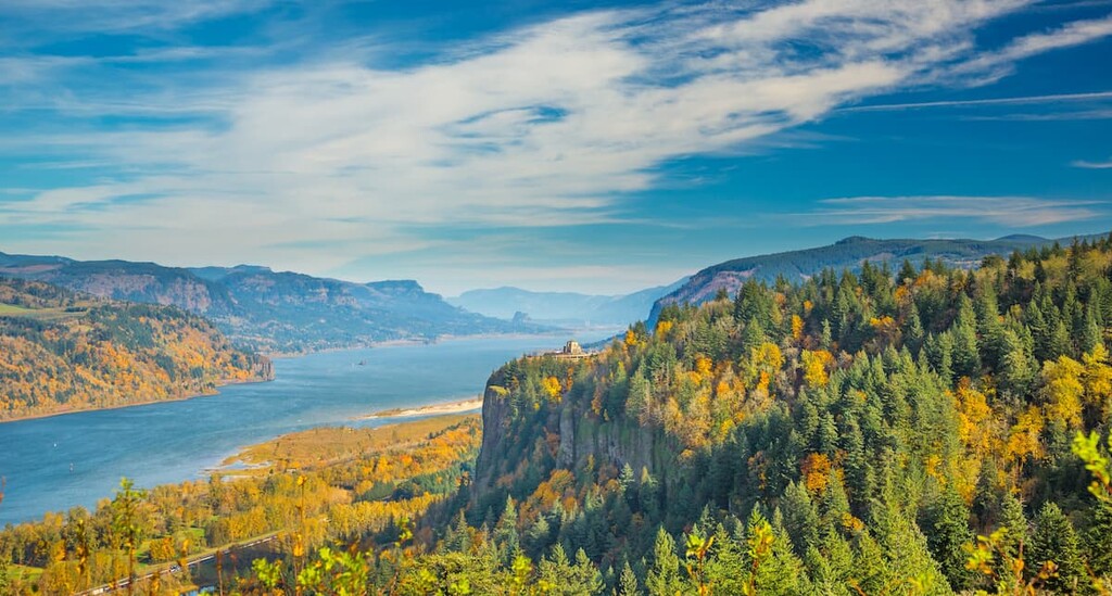
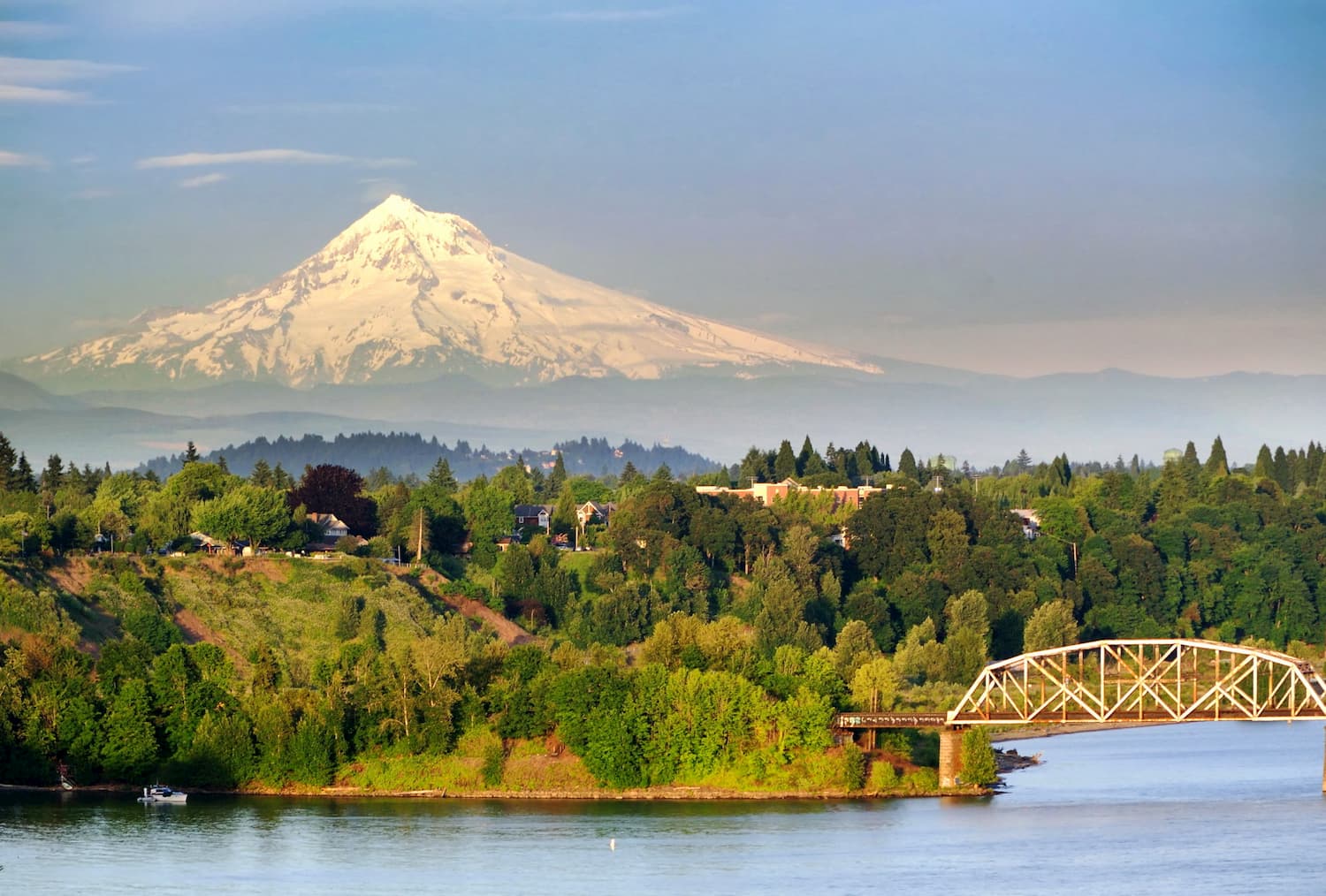
Formed by 40-million-year-old volcanic activity and shaped by cataclysmic floods, the Columbia River Gorge cuts through the Cascade Mountains, creating an incredible natural corridor packed with dramatic vistas and diverse landscapes.
In 1986, to protect the scenic, cultural, recreational, and natural resources of the Columbia River region, Congress established the 292,500-acre Columbia River Gorge National Scenic Area.
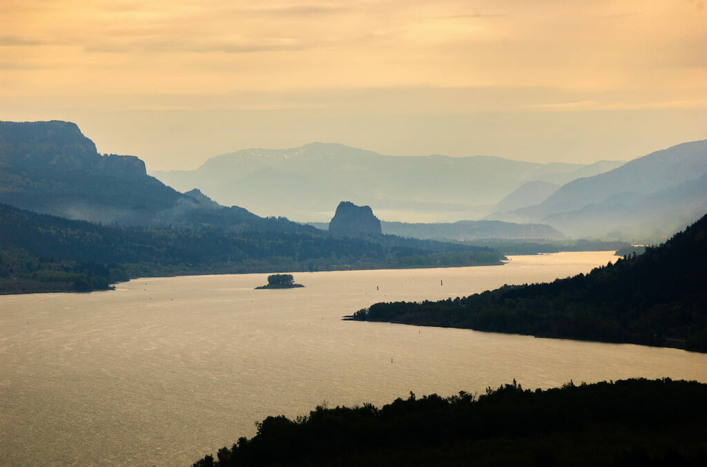
The spectacular Columbia River Gorge National Scenic Area stretches for 85 miles from the Sandy River on the west to the Deschutes River on the east and from Gibbons Creek to just outside of Wishram, Washington. The Scenic Area also covers portions of six counties: Clark, Skamania, Klickitat in Washington and Multnomah, Hood River, and Wasco in Oregon.
Most of the area’s forestland lies within Mount Hood National Forest in Oregon and Gifford Pinchot National Forest in Washington. There are also approximately 25,000 acres of wilderness and 13 state parks designated within the Scenic Area.
Remarkably, though the Columbia River region is often defined by its lofty cliffs, dense forests, and stunning waterfalls, it also contains thousands of acres of rural townscapes and pastoral areas. Generally, the region’s cascading waterfalls and rich forestlands are found along the western Columbia River, while incredible rim-rock bluffs and rolling hills cover the eastern Gorge.
Protections within the Columbia River Gorge National Scenic Area are generally divided into three categories: Special Management Areas, General Management Areas, and Urban Areas.
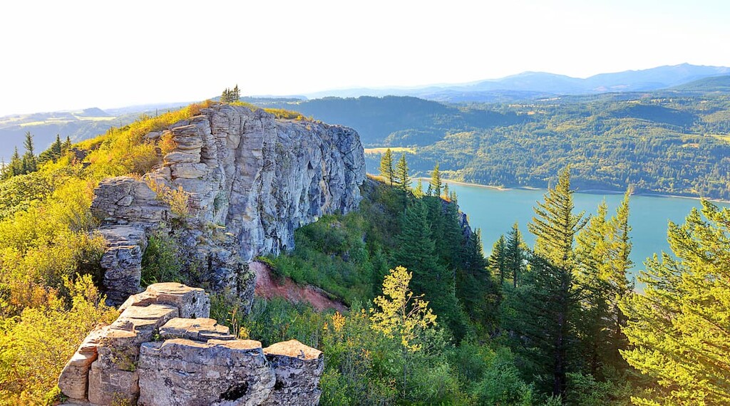
The Special Management Area covers approximately 114,600 acres of land and protects the region’s most sensitive natural resources. Found mostly in the western half of the Scenic Area, the Special Management Area contains many well-known landmarks, including the Gates of the Columbia River Gorge, Wind Mountain, Burdoin Mountain, and Rowena.
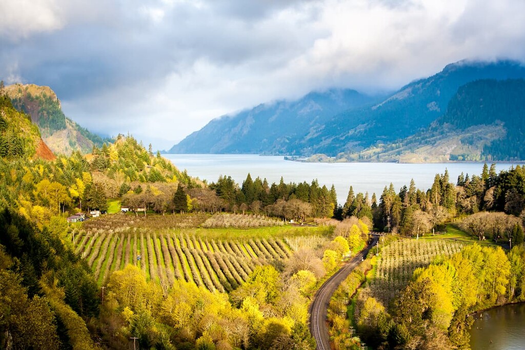
The General Management Area covers approximately 149,400 acres, or half of the Scenic Area, and the entirety of the Columbia River. These lands are found mostly along the eastern Gorge and are devoted primarily to agriculture and forestry uses.
Lastly, the Scenic Area contains thirteen Urban Areas that are exempt from National Scenic Area regulations. These communities are particularly popular among visitors to the Columbia River area and provide a variety of amenities and accommodations to travelers.
Though little evidence of the region’s earliest inhabitants survived the last Ice Age, archaeological evidence suggests that human presence in the Columbia River Gorge region dates back at least 10,000-15,000 years.
Prior to European settlement, Native Americans thrived on the region’s natural resources. Fish were central to the culture of the region’s natives and many of their fishing sites became major trading posts. The Columbia River also provided early occupants a relatively easy means of travel through the Cascade Mountains and would become a vital passageway for settlers, missionaries, and fur traders.
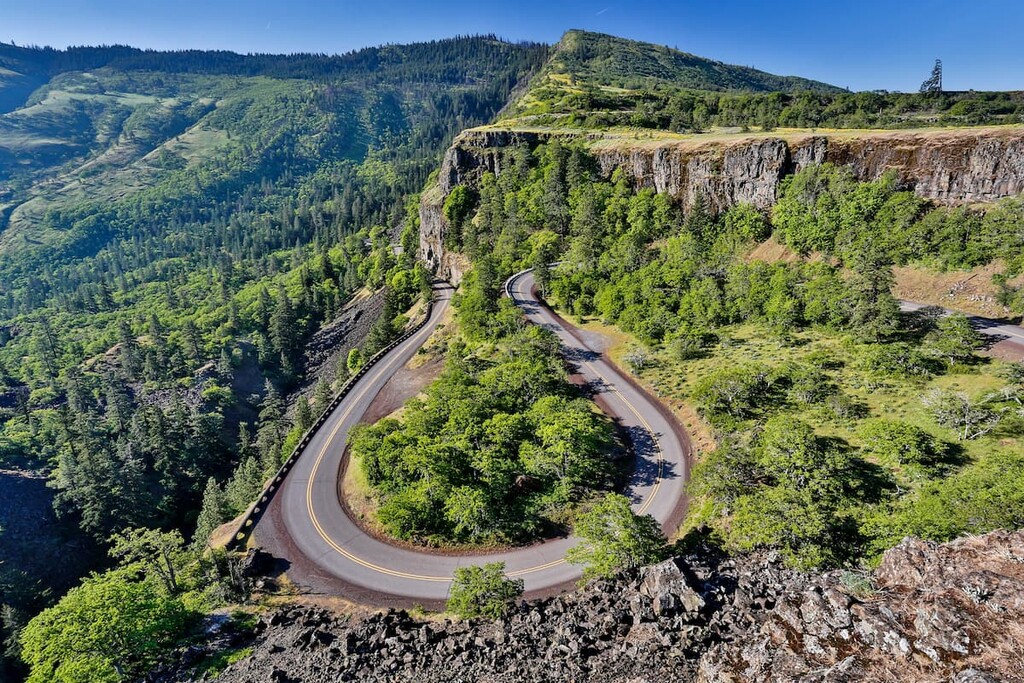
More than 1,000 historic buildings and archaeological sites exist within the Columbia River Gorge National Scenic Area. Prominent landmarks include: Historic Columbia River Highway 30, pictographs and petroglyphs within Horsethief State Park, the Multnomah Falls Lodge, Vista House, Beacon Rock, and the Bonneville Dam.
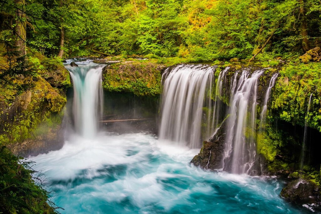
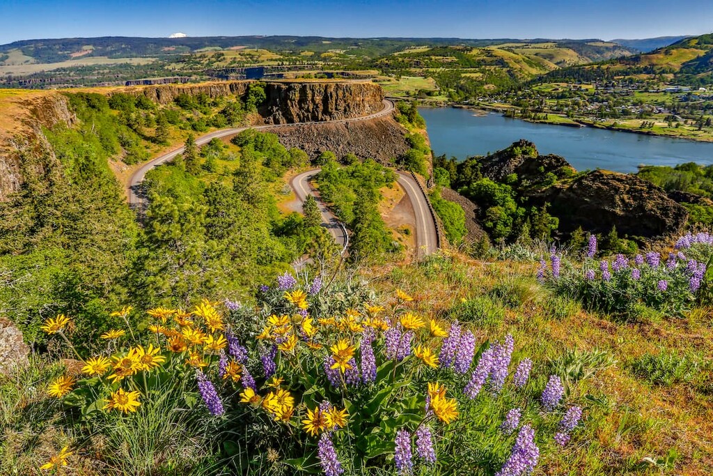
The diverse climate and topography of the Columbia River Gorge National Scenic Area fosters roughly 1,000 native species of wildflowers, including sixteen species that do not occur outside of the Gorge region. The region also supports 44 species of fish, more than 200 species of birds, and a healthy population of deer, bobcat, beaver, black bear, and raccoon.
More than 2.5 million visitors travel to the Columbia River Gorge National Scenic Area each year to experience the beauty and grandeur of the Columbia River region. From easily accessible scenic overlooks to all-day arduous ascents, the Scenic Area offers a wide variety of recreation opportunities suitable for all types of travelers.
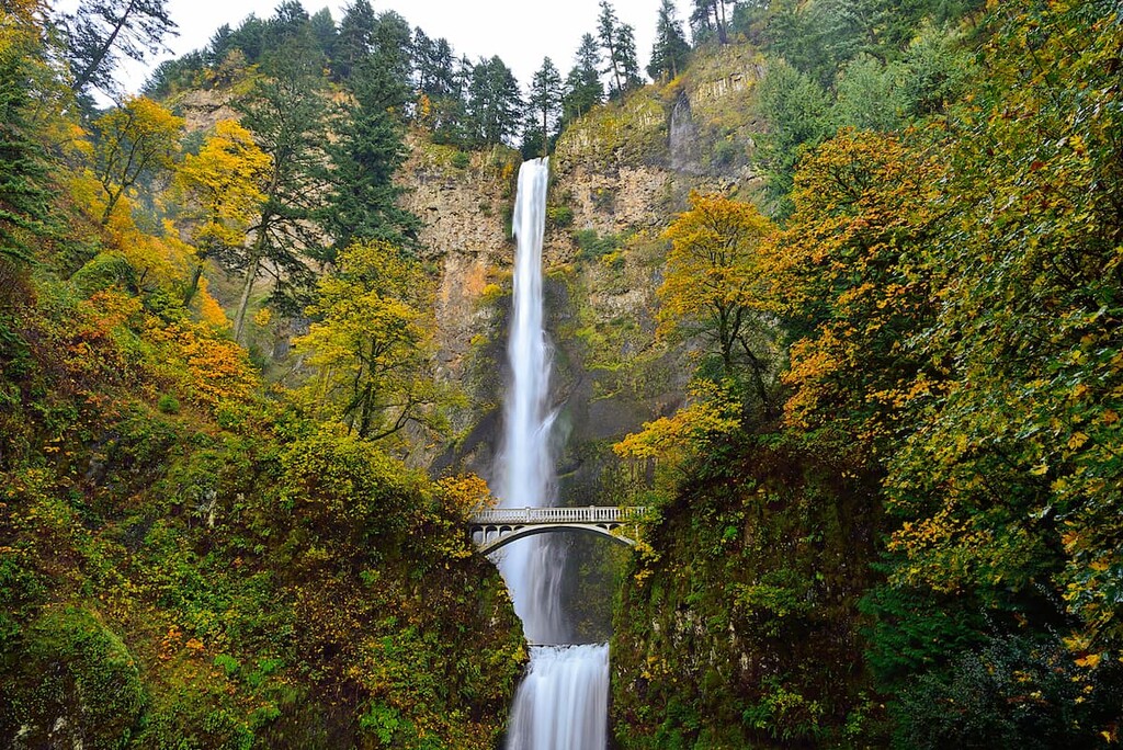
A list of Columbia River Gorge classics wouldn’t be complete without mentioning one of the most iconic waterfalls in the states. Accessible from the Historic Columbia River Highway, 620-foot Multnomah Falls plummets down two tiers of incredible basalt cliffs. One of the most visited natural recreation sites in the Pacific Northwest, reaching Multnomah Falls requires nothing more than a quick stroll from the parking lot. Enthusiastic hikers can also opt to take a switchback trail that ascends to a talus slope 100 feet above the falls and descend to an observation deck overlooking the falls’ edge.
Located on an exposed bluff on the western end of the Columbia River Gorge, Angel’s Rest is one of the most popular hiking trails in Oregon. The trail climbs steadily for half a mile before reaching the top of Coopey Falls, a beautiful horsetail waterfall. The trail then crosses the creek and begins to meander uphill via a series of switchbacks. After roughly 1.6 miles, hikers will reach the ridge crest and will be rewarded with panoramic, cliff edge views of the Columbia River Gorge.
846-foot Beacon Rock is one of the most distinctive geological features in the Columbia River region. Once the core of a volcano, Beacon Rock was named by Lewis & Clark during their voyage of Discovery in 1805. The monolith’s namesake state park covers 4,464 acres and includes 9,500 feet of Columbia River shoreline. The park is cherished, not only for its iconic rock, but also for its technical rock-climbing options, scenic hiking trails, and miles of mountain biking trails. Popular trails in the park include: Beacon Rock, Little Beacon Rock, Hardy Falls, and Hamilton Mountain.
![]()
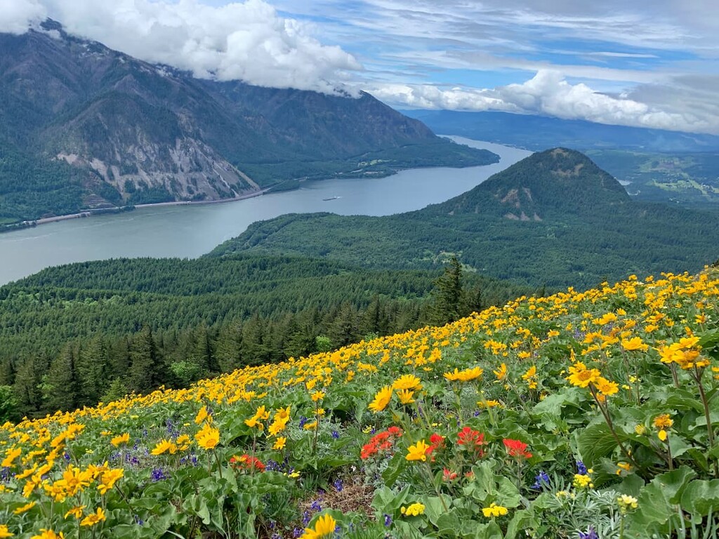
Located on the north side of the Columbia River Gorge, Dog Mountain rises to over 2,900 feet and offers stunning views of Mount Hood and the Columbia River. The 6-mile ascent begins with a .5-mile climb through a wooded area. A mile after reaching a junction, hikers are rewarded with their first views of the Columbia River, Wind Mountain, and the summit of Dog Mountain. The trail continues to climb for another mile before reaching a lookout. The lookout was built in 1931 to watch for fires across the river in the Mount Hood National Forest. The Dog Mountain trail is particularly popular in the Spring, when wildflowers blanket the hillside.
The largest city in Oregon, Portland is characteristically quirky and is best-known for its offbeat culture and delicious dining options. In the city, you’ll find a variety of bike paths, coffee shops, and a laid-back environment. However, Portland is a popular basecamp for exploring the Columbia River Gorge. It’s not uncommon for travelers to start their Oregon adventure by flying into Portland and driving a few hours to their final destination.
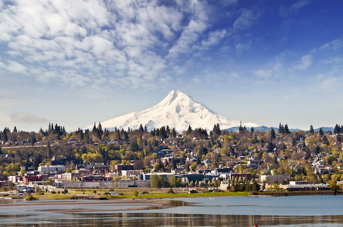
Admirably known as ‘the windsurfing capital of the world,” Hood River is a vibrant town nestled in the heart of the Columbia River Gorge. Hood River is an incredible community for sightseeing, kiteboarding, hiking, and exploring the many nearby waterfalls and scenic overlooks in the Columbia River Gorge. Despite being home to just under 8,000 permanent residents, this small town is packed with amazing breweries, restaurants, shops, and accommodations.