
Scan the QR code and open PeakVisor on your phone
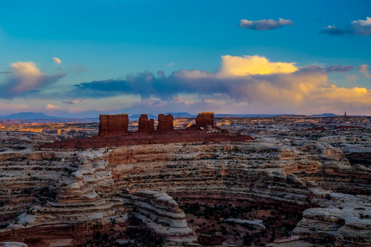
Canyonlands National Park - Maze District has 11 named peaks. The highest is Elaterite Butte at 2,000 m. Other notable peaks include Lizard Rock, Standing Rock and Chimney Rock.
Located in Southeastern Utah, near the town of Moab, Canyonlands National Park is a vast swath of land dedicated to protecting the colorful canyon-filled landscape surrounding the Colorado and Green Rivers. Canyonlands National Park is divided into three distinct sections, Island in the Sky, the Needles, and The Maze, each with their own unique characteristics.
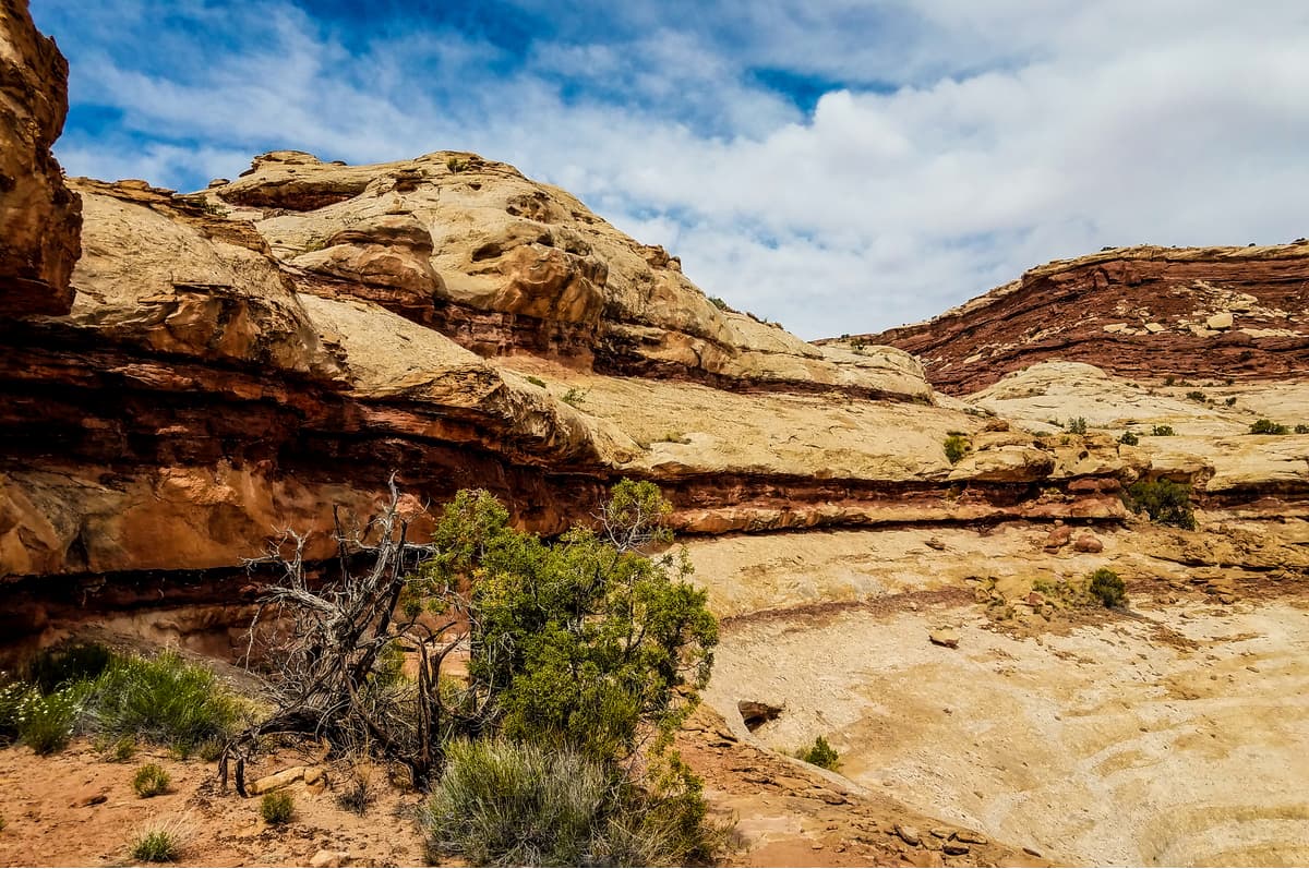
Although the park is best known for its canyons, the the Needles District is home to 5 named mountains, the highest and most prominent of which is Elaterite Butte. Geologically, the park was carved out from sandstone, thanks to the erosion powers of the mighty Colorado and Green Rivers, whose intersecting paths create the three districts within Canyonlands.
The Maze District is the most remote part of Canyonlands National Park and is located to the west of the Colorado and Green Rivers. Indeed, the Maze is one of the least accessible areas of the continental United States. Simply getting to the Maze requires more time than getting to the other two districts in Canyonlands and, as such, visitors to the Maze usually spend at least three days, if not more, in the backcountry.
Historically, the region of Canyonlands was home to the Ancestral Puebloans, who lived in the area for millennia inside stone and mud dwellings. Many of these dwellings are fantastically well preserved, though the original tools and other artifacts have mostly been removed over the centuries by looters and other visitors. Other evidence of the Ancestral Puebloans includes their prolific rock art, which can be seen in the form of petroglyphs around Canyonlands National Park, especially on Newspaper Rock along the access road to the Needles.
Despite its proximity to Moab, Utah, Canyonlands didn’t come onto the radar of the National Park Service until the 1950s when the then-superintendent of Arches National Park began traveling through the region to the south and west of Moab. Eventually, after many years of debate and questioning, Canyonlands officially became a national park when it was signed into law by President Johnson in 1964.
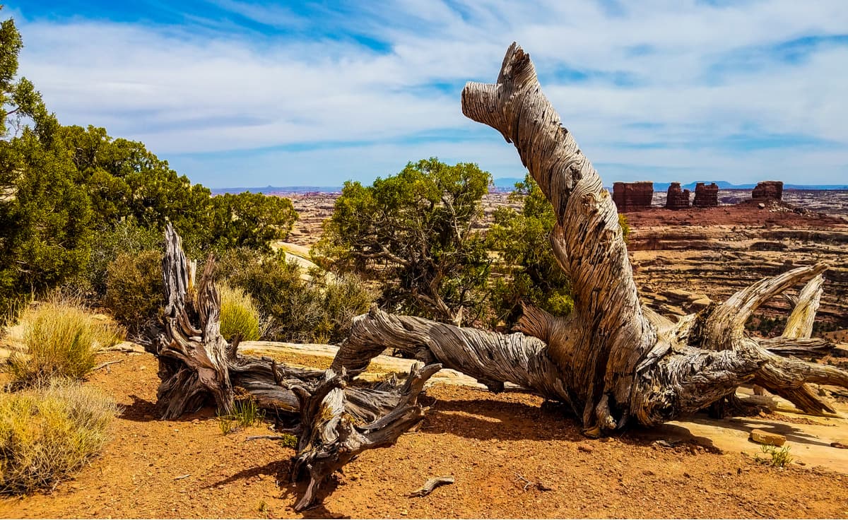
These days, the park sees a significant amount of visitors, who enjoy the region’s plentiful hiking, biking, backpacking, and four-wheeling opportunities. Unlike Island in the Sky and the Needles, however, the Maze District is very remote and, thus, sees only 1% of all of the park’s visitors.
Anyone looking to venture into the Maze needs to be completely self-sufficient and ready to embark on an extended expedition. However, the vast and remote terrain in the Maze is certain to create an experience you’re not likely to forget.
Since it’s so remote, the Maze doesn’t really have any maintained trails outside of the few in Horshoe Canyon. Visitors to Horseshoe Canyon can experience firsthand some of the most stunning rock art in all of North America, with well-preserved designs. Most people who venture into Horseshoe Canyon follow a 7 mile (11.2km) trail into the Great Gallery and plan to camp in the backcountry.
If you’re looking for more adventure in the Maze, the best advice is to get some detailed topographic maps and to study them thoroughly to come up with a route. Anyone looking to venture into the Maze’s backcountry needs to be fully confident in their canyoneering skills and navigation abilities. The Maze Overlook Trail is a popular option, though this does require the use of a rope for lowering and raising packs in the most difficult spots.
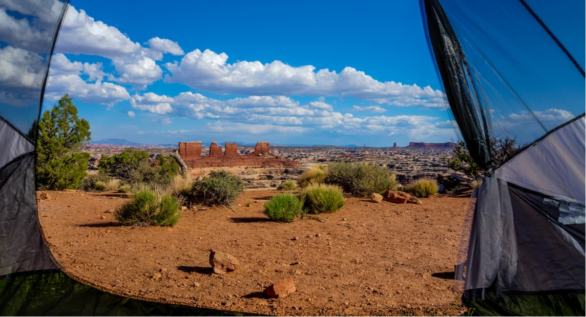
Magnificent view from tent at the Maze Overlook Trail
Should you want to camp in the backcountry in the Maze, however, you will need a permit, so you’ll want to apply for one early, especially for the spring and fall seasons. Plus, you’ll want to check-in at the Hans Flat Ranger Station for information on the seasonal springs in the area to get an idea of the water situation in the park.
The Maze is really quite remote, so if you’re looking to adventure in the district, you’ll likely be camping. However, here are some nearby places to stay before your trip:
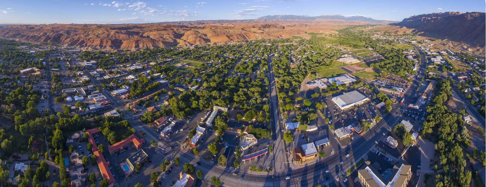
The town of Moab is the official gateway to Canyonlands National Park but is a nearly 6 hour drive to The Maze. Despite its distance to the Maze, Moab is the best place to start if you’re also looking to visit the other Canyonlands Districts.
Moab is home to plenty of hotels, campgrounds, restaurants, and outdoor gear shops, so you’ll find what you need in town. Plus, it’s just a 10-minute drive from Arches National Park and two hours from Capitol Reef, so what’s not to love?
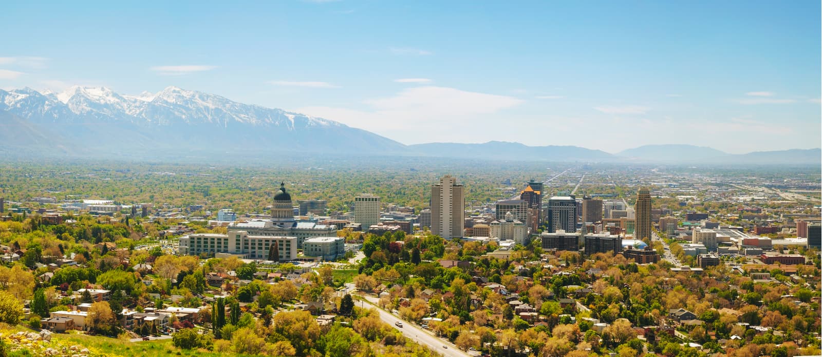
An eight-hour drive north of Canyonlands’ Maze District, Salt Lake City is Utah’s largest city and is home to an international airport as well as an abundance of hotels, restaurants, and gear shops, so it’s a great place to start your adventures.


The highest peak in Canyonlands National Park - Maze District is Elaterite Butte, at 2,000 m.
Notable peaks in Canyonlands National Park - Maze District include Elaterite Butte, Lizard Rock, Standing Rock, Chimney Rock and The Fins.


