Introduction
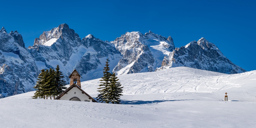
Welcome to the Col du Lautaret, a high mountain pass between the French city of Grenoble and the relatively small town of Briançon. The vast zone is known simply as “the col” to locals on both sides of the pass and offers some of, dare I say, the world’s best ski touring. “The easy road access to such varied all aspects, and all level terrain is more than rare. The fact that the touring season stretches from early November to mid-May most years is exceptional,” says Per As, La Grave mountain guide, on why the Col du Lautaret is his favorite place for ski touring.

Season
The ski touring season at the Col is long…mighty long. Even during the driest years, i.e., 2021-22 and 22-23, the Col fired from early December to May. Were conditions optimal during that time? Not at all. But there were good days throughout those seasons, and all the classics were doable.
Even in the best of seasons, it’s unlikely you’ll be making a turn before early November (this year, 2023-24, skiing was possible by about Nov. 10th, which was exceptional). Likewise, while plenty of snow sticks around high, the runouts will melt out by mid-May.
Like all places in the Alps - and the world - winter is getting shorter at the Col du Lautaret. Grass has been a fixture on south faces the past couple of years, and the once-proud Glacier de Combeynot has been reduced to a piddling remnant ice cube clinging to the shadowy recesses of the north-facing headwall.
Snow and Weather Conditions
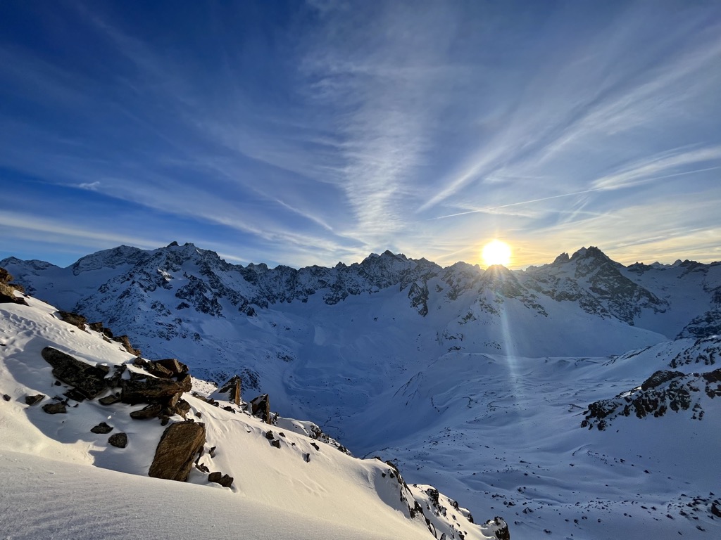
The Col receives massive amounts of snow annually, and ski touring is virtually guaranteed to be possible, even in the driest years. There are a few advantages to the Col du Lautaret vs. other ski touring spots in Europe:
- The Col (2058 m / 6,752 ft) is one of the highest-elevation mountain passes in France that remains open during the winter. Even in a warming world, it rarely rains at the top during mid-winter. You can still make 1000 m + (3300 ft) descents from the top.
- I’ve seen it snow at the Col with every wind direction; this is rare in the Alps. Variations of west winds are the most ideal, while north and east are less so.
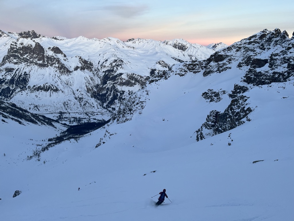
- While the Col is not a powder destination, you can usually find good snow on at least one aspect. The south-facing slopes feature great corn skiing on warm sunny days while north-facing slopes hold soft winter snow.
- Some exciting north-facing couloirs, like Orient Express, always have enough snow to ski.
There are also some disadvantages to the snow at the Col du Lautaret:
- The Col isn’t much of a powder skiing destination. Fresh snow doesn’t stay in its powder state for long before the forces of nature, i.e., wind, sun, and warmth, bring about its destruction. While ski touring is always possible, conditions can be seriously variable.
- You can’t see anything on stormy days, and there is quite a bit of avalanche hazard, so skiing is limited during weather events. The forest skiing is limited to the trees around Les Boussardes, which, at around 1500 m (5000 ft), aren’t always filled in like the summit.
- Attempting to drive up the Col in storms is brutal. It doesn’t close that often, and you’ll probably make it over, but it’s not that fun.
Like most places with exciting ski terrain, the Col is a hotspot for avalanches. Give PeakVisor’s Introduction to Avalanche Safety article a read, and be sure to check the forecast before heading out.
In summary, the Col gets plenty of snow, if not the powdery sort. The consensus is that the access and variety of terrain are far more significant selling points than the actual snow quality.
Col du Lautaret Ski Tours
The Col is home to a limitless number of roadside-access ski tours. All you have to do is look up to understand the potential for new lines. The following is just a list of classic descents to get you started; it’s by no means all that’s available. In fact, these zones only barely scratch the surface of what’s possible.
North Side (South Facing)
The north side of the Col is, in general, far more moderate than the Combeynot side. The lower reaches of the Trois Évêchés could be done as a first ski tour. Meanwhile, there are still big descents; the northwest-facing couloir des Trois Évêchés is a serious descent.
Pic Blanc de Galibier
Difficulty: Moderate
Avalanche Risk: Low
Elevation Gain: ~900 m (2,700 ft)
Departure: Top of the Col
Aspect: South
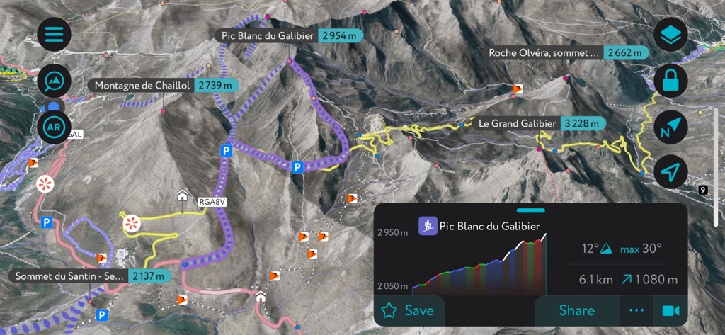
The Pic Blanc de Galibier is the classic on this side of the Col. While skinning up, you can follow the Col du Galibier road (closed in winter and perfect for skinning) until you bang a left to head up the ridge to the summit. The descent has several variations featuring south-facing and wide-open alpine slopes. Expect to do about 900 m (2,700 ft) of ascent from the pass to the summit on this tour.
The Pic Blanc is such a classic because it’s a long, exciting alpine tour without any serious hazards. For this reason, it’s an excellent tour for introductory or advanced ski tourers alike. It also offers fabulous views of the elusive Barre des Écrins (4,102 m / 13,458 ft), the tallest peak in France outside of the Mont Blanc Massif.
Pic des Trois Évêchés
Difficulty: Difficult
Avalanche Risk: High
Elevation Gain: ~1100 m (3600 ft)
Departure: Top of the Col
Aspect: Northwest
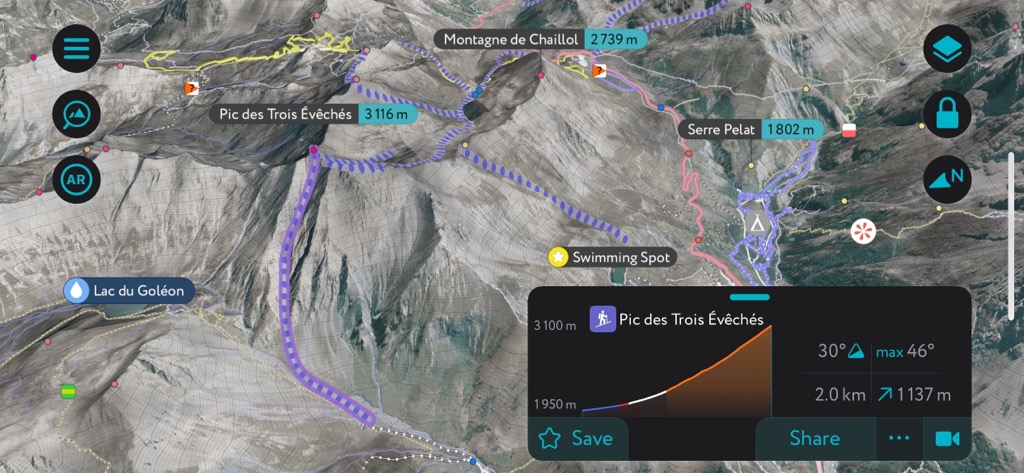
The Trois Évêchés (3,116 m / 10,223 ft) has a peak similar to the Galibier but is even better. It’s a more serious tour; you have to approach up the big face where you are exposed to avalanches. The summit is 1100 m (3,600 ft) of climbing from the pass; you’ll also have the distinction of getting a 3,000-er under your belt.
The summit offers two main descents. You can head back down the main south-facing cirque you just skinned up or try your hand at the legendary northwest-facing couloir des Trois Évêchés. The couloir is wide, not too steep, and isn’t much more than 40°. It brings you back to the hamlet of Valfroid, where the best option is to skin back up over the Aiguillon and into Villar d’Arêne. If it’s melted out, you can leave a car at Les Hieres, the next village down the road. Hitch-hiking is also a bonified option as it’s ubiquitous in this valley; you’ll likely not wait long.
Lautaret to Villar d’Arêne (Crête de Côte Pleine)
Difficulty: Moderate
Avalanche Risk: Moderate
Elevation Gain: ~900 m (2,700 ft)
Departure: Top of the Col
Aspect: South
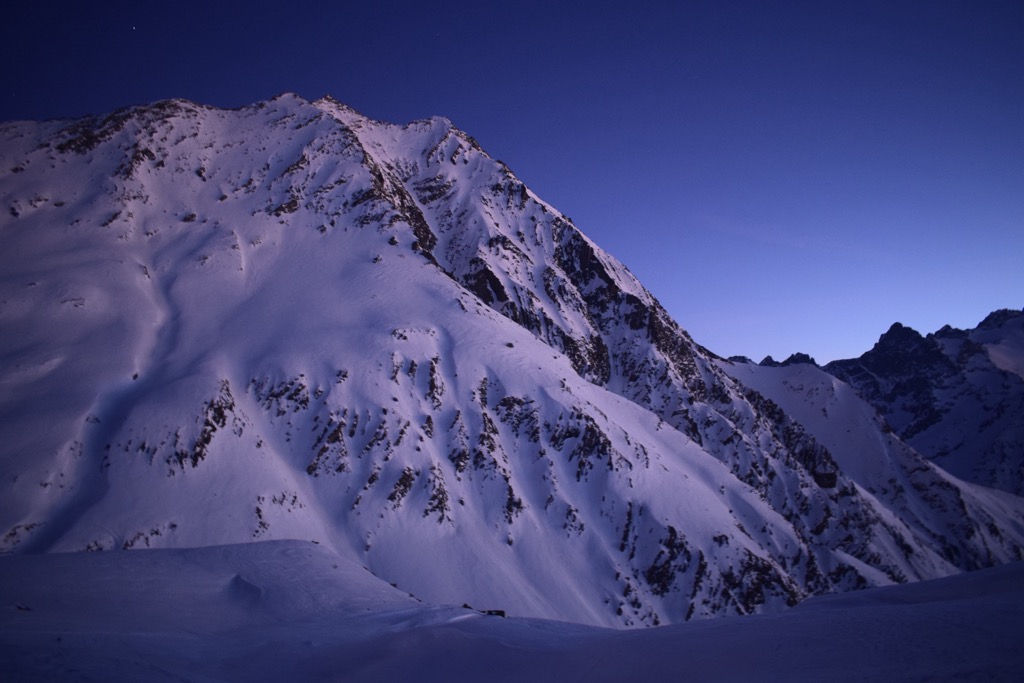
The lines from Lautaret to Villar are exceptional in that you gain 400 m (1300 ft) of vertical descent in addition to your ascent. It’s easy to hitchhike back to the pass or leave a car in Villar. Or, you can skin back along mellow slopes.
These chutes - I call them chutes because they aren’t quite couloirs, nor are they a continuous face - are some of the most challenging lines to get in condition at the Col these days because they face south and are often melted out, even in mid-winter.
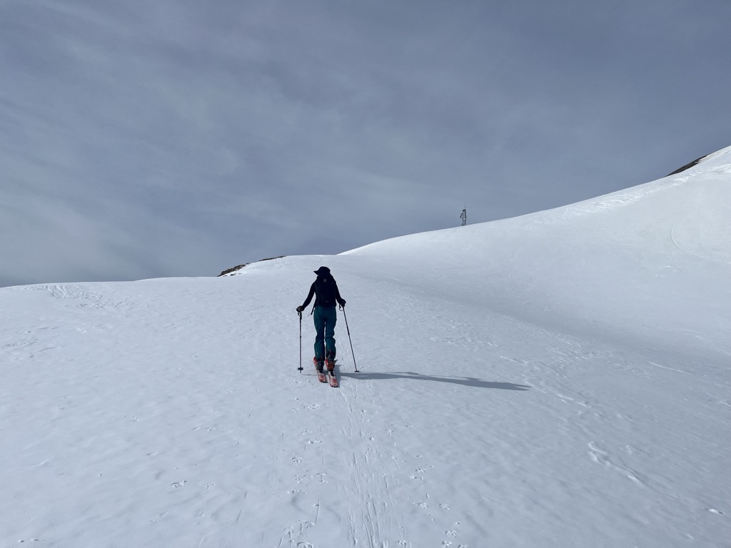
The terrain in question stretches along the ridge from La Pare’s summit to the Col de Côte Plaine and even further down toward Montagne de Chaillol. Drop in to the south for 1300 m descents to the ancient villages of Les Cours and Villar d’Arêne.
The route finding can be tricky, especially knowing where to drop in from the summit. The easiest to locate and find in good condition is the face below the Crête de Côte Pleine. Because the approach differs entirely from the descent, it’s best to scope out these lines from the road in Villar or Les Cours in advance.
Once you finish, hitching back to the Col with a local is always an added bit of fun - this part is definitely easier if you speak a bit of French, but the sign is the ubiquitous thumbs up.
South Side (North Facing)
Glacier de Combeynot
Difficulty: Easy
Avalanche Risk: Moderate
Elevation Gain: ~700 m (2,300 ft)
Departure: Top of the Col
Aspect: North
The Glacier de Combeynot is hands-down the most popular zone at the Col. It’s the first big bowl you see on the Combeynot; it’s usually painted with the tracks of hundreds of skiers. Honestly, there’s nothing exceptional about it. The glacier has long since melted out, leaving a large moraine about 2/3s of the way up where most parties begin their descent.
It’s an easy tour to stretch the legs, and you’ll probably find a skin track already set in by the dawn patrol. The descent is fall line and a pleasing 30 - 40°. It’s the line that most people will end up doing at the Col, and it’s not half bad, but most of the other descents listed in this article are better.
Forêt des Boussardes → L’Etendard
Difficulty: Moderate / Difficult
Avalanche Risk: Moderate
Elevation Gain: ~1,400 m
Departure: Les Broussardes
Aspect: North
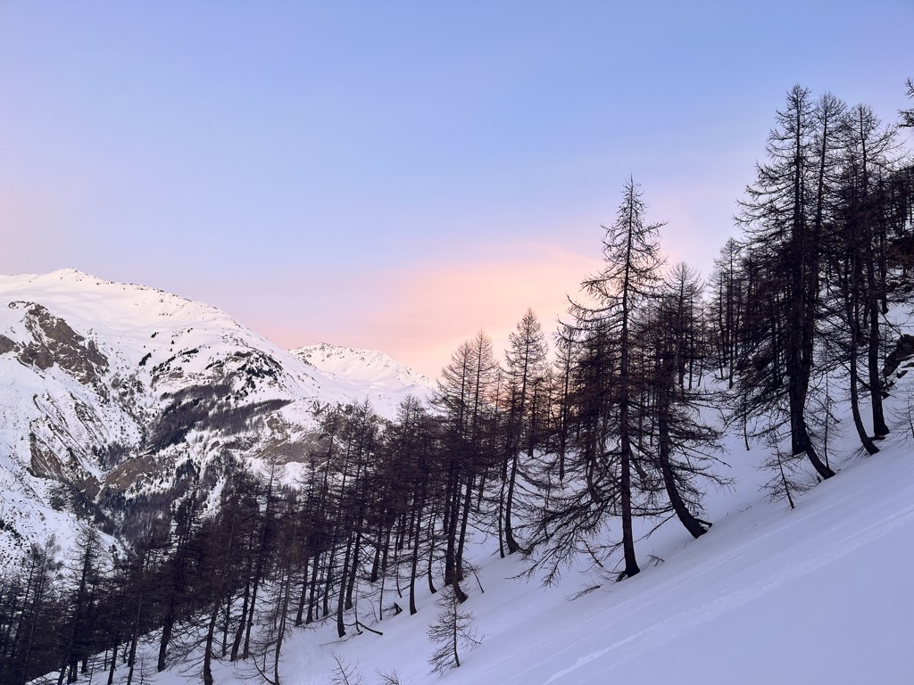
The larch forests around the bucolic village of Les Boussardes offer the only extensive tree skiing near the Col. There’s stellar skiing to be had in the forest, with plenty of well-spaced larch trees and gullies in between.
You can lap the trees or continue into the alpine, where the options are essentially limitless. The most trodden line is a tour to the summit of L’Etendard. The descent involves a series of wide couloirs running from the ridge into a large bowl. You can choose your adventure.
When the snow is good to Les Boussardes (elevation 1500 m), you can get 1400 m (3700 ft) of excellent skiing from the ridge right back to your vehicle. The lines from Les Boussardes are some of the longest you can do at the Col.
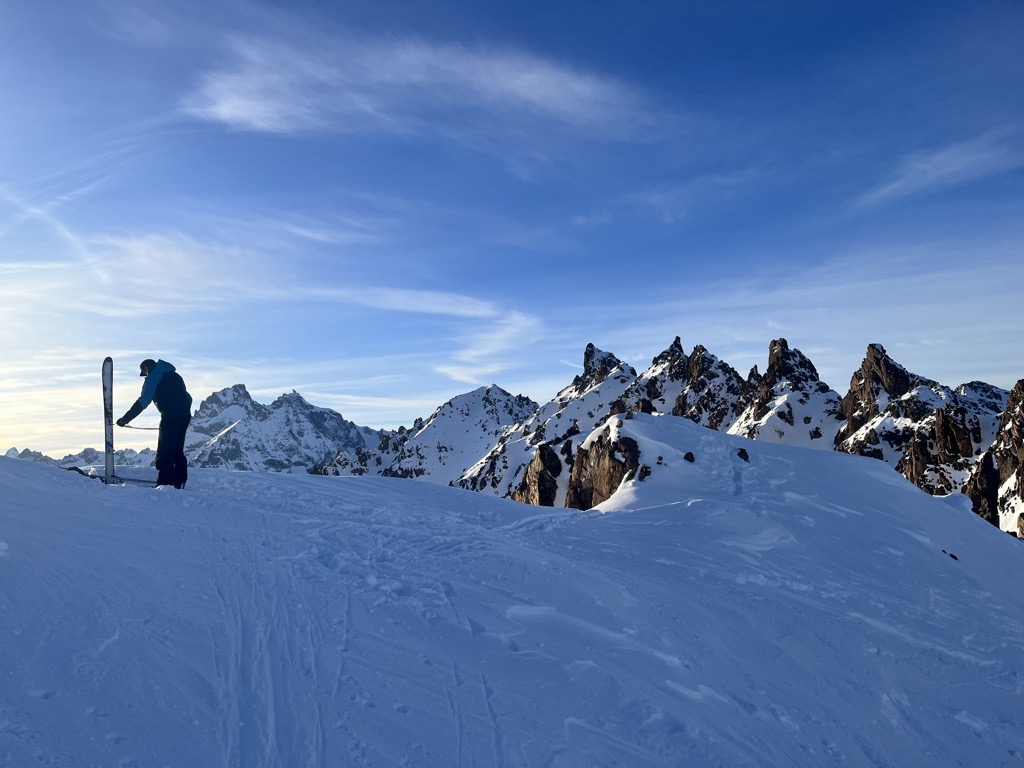
Couloir Orient Express
Difficulty: Very Difficult
Avalanche Risk: Moderate
Elevation Gain: ~1,000 m (3,300 ft)
Departure: Tope of the Col
Aspect: North
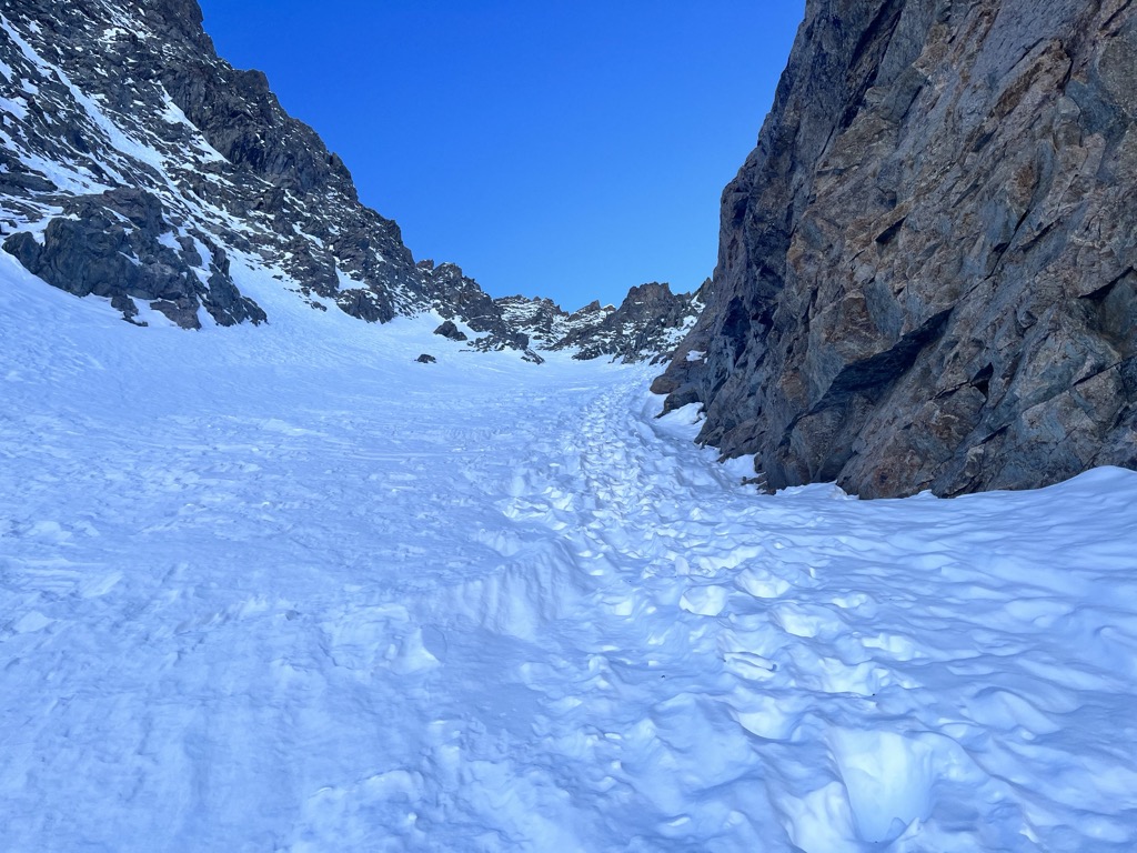
Orient Express is THE classic couloir at Col du Lautaret. As such, you’ll be fortunate ever to get fresh tracks on this beast. You’ll have to skip the powder day at the resort and bootpack the 800 m (2600 ft) couloir right after the fresh snows…and it’s likely to be arduous in deep powder snow.
This couloir can feel like an “extreme” ski descent, depending on the condition. In hardpack snow, a fall could be fatal. Conversely, in deep powder, you hardly feel the pitch. Mostly, Orient Express hovers around the low-40°s, with the very top passage to the ridge reaching 48° (skiers can easily skip this). The catch is that the bootpack is much more difficult in deep snow.
Overall, Orient Express is a fantastic line from the Combeynot and a great introduction to using crampons and an ice axe for skiing.
Couloir Banane
Difficulty: Difficult
Avalanche Risk: High
Elevation Gain: ~1,200 m (3,900 ft)
Departure: East side of the pass, on the side of the road below the obvious apron at 1,800 m.
Aspect: North
The Banane is skied less often than the Combeynot classics from the top of the Col. That’s fortunate for those looking to ski one of the best lines in the Écrins and avoid crossing other tracks.
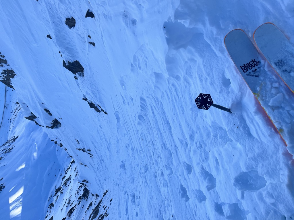
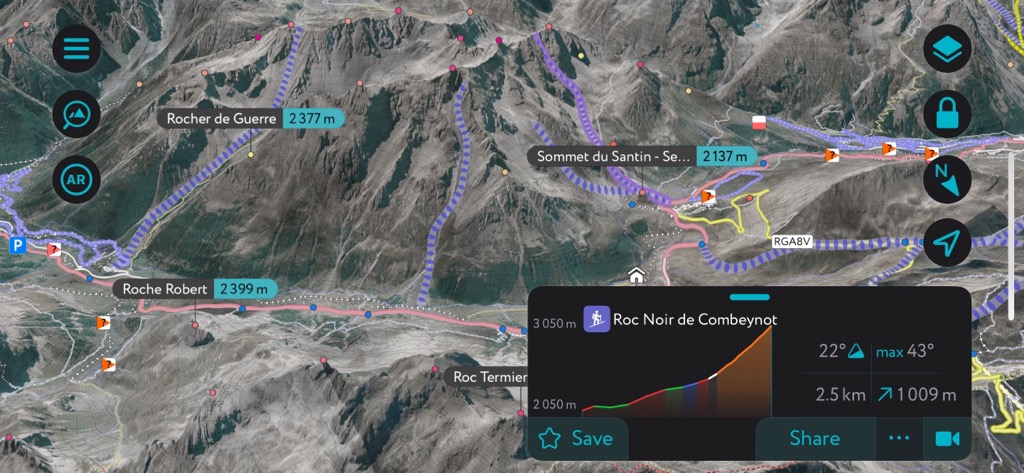
In fact, the Banane is the most epic easy-access line on the Combeynot. It’s really only a couloir at the top before opening up into a broad gully that travels fall line all the way to the road. There are several different couloirs as you approach the summit of the Pic Est de Combeynot, each of which is viable.
The Banane is less steep and intimidating than the Orient Express but must be cautiously approached; the ascent mirrors the descent, and the whole line is a giant avalanche path. Considering it’s a 1,200 m (3,900 ft) ascent, that’s a lot of exposure over the course of the day.
Tourist Information
In general, I’ve found the tourist offices in the French Alpes to be excellent, much better than their counterparts in other countries. These folks are more than just pamphlet-pushers; they can give you valuable information to enhance your trip to the Hautes-Alpes.
Office de Tourisme des Hautes Vallées: Bureau de La Grave
Address: RD 1091, 05320 La Grave
Phone: (+33) (0) 4 76 79 90 05
Hours: Monday through Saturday, 9 a.m. to 12 p.m., 1:30 p.m. to 5 p.m., Closed Sunday
Website: https://www.lagrave-lameije.com/fr/hiver/accueil
Office de Tourisme de Serre Chevalier: Le Monêtier-les-Bains
Address: Rte de Grenoble, 05220 Le Monêtier-les-Bains
Phone: (+33) (0) 4 92 24 98 98
Hours: Everyday 9 a.m. to 12 p.m., 2 p.m. to 6 p.m.
For guiding services, it’s best to contact the Bureau des Guides in La Grave:
Bureau des Guides & Accompagnateurs
Address: RD1091 Place du téléphérique, 05320 La Grave
Phone: (+33) (0) 4 76 79 90 21
Website: https://www.guidelagrave.com/
Location / Getting to the Col du Lautaret
The Col du Lautaret is located in the southeastern French department of Hautes-Alpes, approximately one hour west of the Italian border and one and a half hours east of Grenoble.
Driving
The Col is on France Route 1091. In the summer, it’s a parade of RVs, sports cars, motorbikes, and road cyclists. In the winter, there is far less traffic but far more hazards. The road surface is often covered in snow and ice, and it’s not uncommon to see rock fall along the way.
The Col tops out at a whopping 2,058 m (6,752 ft). It’s a straight shot from Grenoble, which hovers around 200 m (660 ft). Over the course of an hour and a half, you drive up a 90 km (50 mi) hill from Mediterranean lowlands to cascading glaciers. Sometimes there’s a guardrail…sometimes there’s not. It’s not a drive for the faint of heart, nor will it be easily forgotten. Bring snow chains in the winter; they might come in handy.
You can also approach the Col from the town of Briançon, just 35 km (22 miles) to the east.
Public Transport
One of the best ways to get to the Col is to take the LER 55 bus. It departs twice daily from Briançon → Grenoble and Grenoble → Briançon. It’s inexpensive and makes about a dozen stops in all the different mountain towns.
Airports
All of the standard rules for the Western Alpes apply here. Geneva and Milan are the best airports for international flights, while Turin, Grenoble, and Lyon may have regional flights from Europe that work well.
Dining
It’s always a question of how good the snow will be, but one thing is for sure: you will be starving at the end of the day. Fortunately, the French have developed a Montagnard cuisine over the past few centuries to assist tired, hungry mountaineers. Two affordable restaurants right at the Col’s summit offer food, drink, and a warm atmosphere to dive into the day’s debrief.
Café de La Ferme
The rustic Cafe de la Ferme is open from 9 a.m. to 5 p.m. during winter. They offer traditional French food at reasonable prices and have an incredible patio that faces west toward La Meije and the cascading Glaciers de l’Homme. When the sun is shining, this is the spot to sit and relax outside.
Lautaret Lodge & Spa
The Lautaret Lodge & Spa is the main group of buildings clustered at the Col’s summit. It’s the only place to get dinner on the Col itself. They offer classic alpine fare with raclette, fondue, filet de boeuf, tartiflette, and burgers on the menu.
Prices are reasonable by the standards of many European countries and North America but are a tad steep compared to other, better restaurants in La Grave and Villar d’Arêne. As a local, I recommend driving down to the Faranchin (Villar) or Le Vieux Guide (La Grave) for outstanding alpine fare.
Nearby Ski Resorts
Serre Chevalier
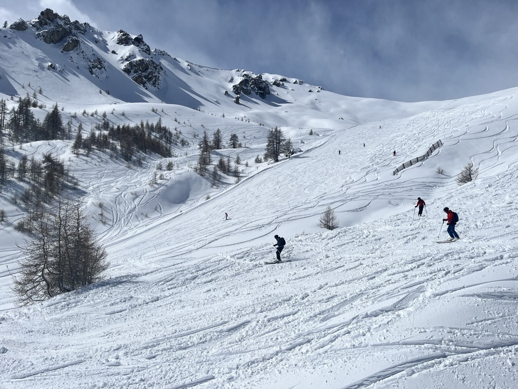
Serre Chevalier Ski Area is incredible. Many wide pistes, freeriding itineraries, hike-to terrain, and a lift system stretching over several peaks set this resort apart.
The resort comprises several base villages, including Briançon, Chantemerle, Villeneuve-la-Salle, and Le Monêtier-les-Bains. It is the largest ski resort in Provence-Alpes-Côte D'Azur, with more than 250 km (155 mi) of slopes and more than 60 ski lifts, which reach 2,800 m (9,186 ft). The tree skiing amongst ancient larch forests is enchanted. It’s some of the best in Europe when there is snow.
Speaking of snow, there’s usually plenty of it. Serre Chevalier gets storms from multiple directions. They also have extensive snowmaking on the pistes. Another aspect of Serre Che is the access from Briançon, which is unique among European ski towns. The historical Old Town dates back 400 years. The restaurants and accommodation are affordable. There’s none of the glitz and glam of other ski resorts — all of that exists in the other base villages. Briançon is a bit rough around the edges in a way that I appreciate.
La Grave
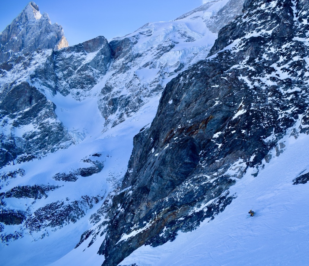
Those looking to poke the sleeping dragon of fate need not look further than the hamlet of La Grave. This sleepy cluster of villages is perched in a deep valley demarcating the north end of the Parc National des Écrins. There is one lift, ‘the Téléphérique,’ to 3200 m (10,500 ft), and another drag lift to 3600 m (11,811 ft). No trails exist on the mountain; every descent is off-piste and requires a high level of skiing and route-finding.
The Téléphérique was constructed in the ‘70s, allowing hikers to go up and look around at the Glaciers de la Meije and boost the economy. In the ‘80s, pioneers began exploring the steep slopes on skis. The ‘90s and ‘00s saw a popularization of extreme skiing and increased traffic in La Grave. Yet, the village remains authentic, and the slopes are still relatively empty.
No luxury accommodations exist in La Grave. There are no nightclubs or cinemas. The village has a few restaurants, gear shops, hotels, and a small market. Even the slightest injury on the mountain necessitates a helicopter rescue if you cannot ski down. It’s not everybody’s cup of tea, but this place rules for those serious about their skiing.
Nearby Cities
Briançon
Briançon, the highest city in France, sits at an altitude of 1,326 meters at the convergence of five valleys. This city is a mecca for mountain enthusiasts and tourists coming to see the astonishing Old Town. With incredible access to climbing and skiing, many high mountain guides are based here.
The original settlement was fortified by French military architect Vauban in the 18th century. This central Old Town is now a UNESCO World Heritage Site, recognized for its remarkable fortifications built between the 18th and 20th centuries. A tour will take you through the Vauban citadel, the fortified castle, and the surrounding forts, including Salettes, Trois Têtes, and Randouillet.
Architecture enthusiasts can explore the 18th-century collegiate church of Notre Dame, the 14th-century Cordeliers church, old houses lining the steep, narrow streets, and the charming Place d'Armes square surrounded by pretty, colorful Provence-style facades, fountains, and sundials.
Briançon has since sprawled over a wide swath of the surrounding valleys. The base villages of the Serre Chevalier ski area extend to the northwest, while Montgenèvre branches off to the northeast. The newer constructions are not particularly sightly compared to the Old Town, but Briançon still has charm. Even though it has access to an excellent ski resort and climbing and is rich in history, Briançon has remained affordable.


