Get PeakVisor App
Sign In
Search by GPS coordinates
- Latitude
- ° ' ''
- Longitude
- ° ' ''
- Units of Length

Yes
Cancel
❤ Wishlist ×
Choose
Delete
Gauteng is one of the nine provinces in South Africa, known for its high elevation, urban landscape, and role as the country’s financial hub. Nevertheless, there are 116 named mountains in Gauteng; the highest and the most prominent is Perdekop, measuring 1,905 meters (6,250 ft).
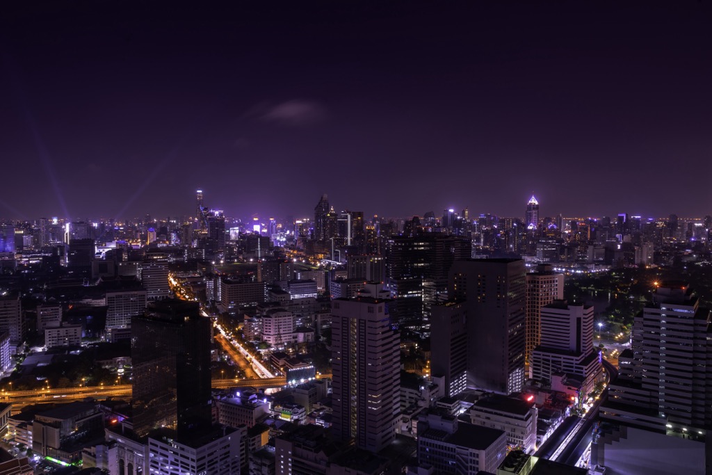
Gauteng is the country's smallest but most populous and economically significant province. It covers an area of approximately 1,817,600 ha (4,491,387 ac) and is located in the northeastern part of the country. Johannesburg is the provincial capital, and Pretoria is one of the country’s three capital cities. Gauteng is landlocked and shares borders with the provinces of Limpopo to the north, Mpumalanga to the east, Free State to the south, and North West to the west.
The province is situated on the Highveld plateau, approximately 1,500 meters (4,921 ft) above sea level. This high elevation contributes to Gauteng's mild climate, subject to a subtropical highland classification. The terrain in Gauteng is mainly flat to gently undulating, dotted by occasional ridges and hills. One notable geographical feature is the Magaliesberg Mountain Range in the north.
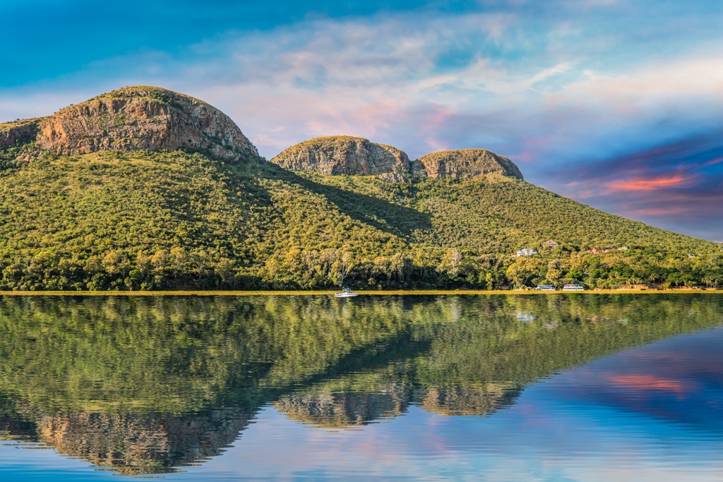
Gauteng's climate includes hot, wet summers and cool, dry winters. Most rainfall occurs in the summer, from November to March, averaging 700 to 750 mm (27 to 29 in) annually. Summer temperatures soar up to 30°C (86°F), while winter temperatures fall to around 4°C (39°F), sometimes causing frost.
Historically, Gauteng is significant for its gold and diamond mining activities. The Witwatersrand Basin, which runs through Johannesburg, has been one of the richest gold-mining areas in the world. Although urbanization has limited agricultural land, areas around the province still produce crops such as maize, vegetables, and livestock.
Despite the rapid urbanization and population growth, which have led to significant environmental challenges such as pollution, loss of green spaces, and strain on water resources, Gauteng has several nature reserves and parks. These include the Suikerbosrand Nature Reserve and the Walter Sisulu National Botanical Garden, which help preserve the region's biodiversity.
The Witwatersrand Basin, the Bushveld Igneous Complex, and the Pretoria Group dominate Gauteng's geology. The 2.7-billion-year-old Witwatersrand Basin is notable for its extensive gold deposits, contributing significantly to the global gold supply.
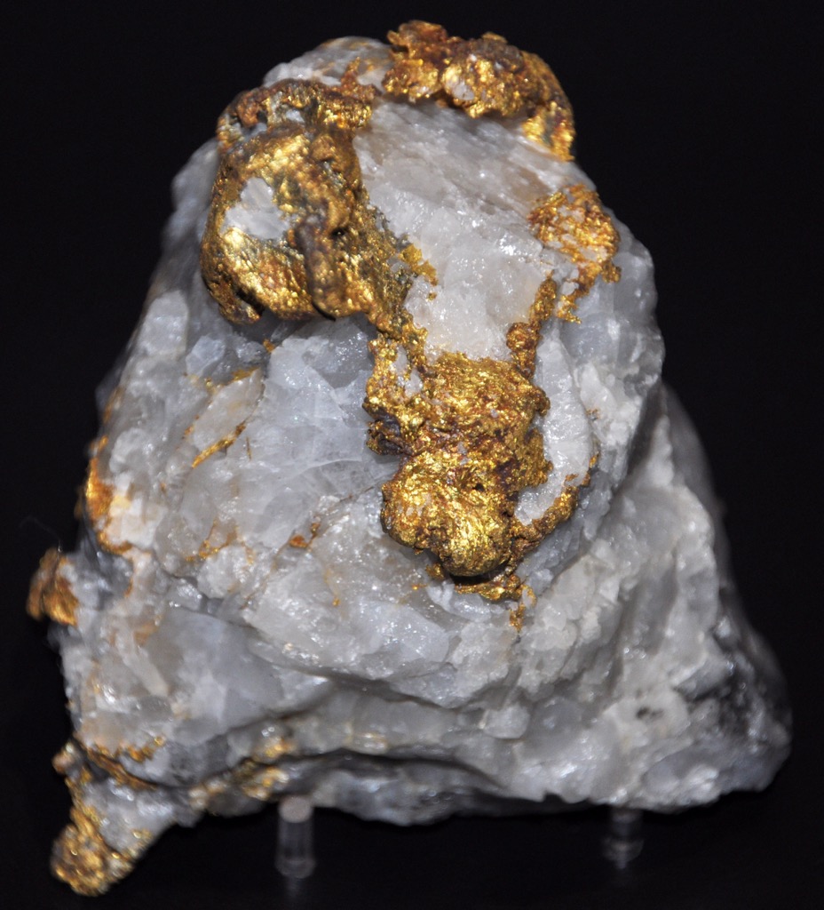
The Bushveld Igneous Complex, about 2 billion years old, is one of the largest layered igneous intrusions and is rich in platinum group metals as well as chromium, vanadium, and nickel. The Pretoria Group includes sedimentary and volcanic rocks, with extensive dolomitic formations prone to sinkholes.
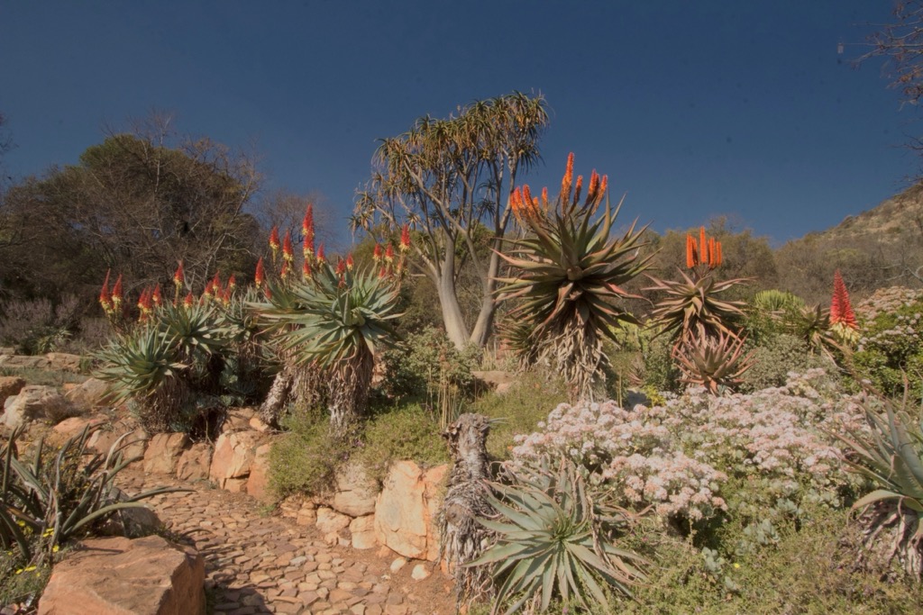
While Gauteng is known for its urban centers, it also hosts diverse flora and fauna across its Highveld grasslands, wetlands, and riparian zones. The grasslands feature species like red grass and weeping lovegrass, with Gladiolus and red hot poker flowers blooming in the rainy season. Trees such as Acacia karroo and African Sumac are scattered throughout the area. Wetlands are home to the paper reed and Cape bulrush, while riparian zones have weeping willow and fig tree species.
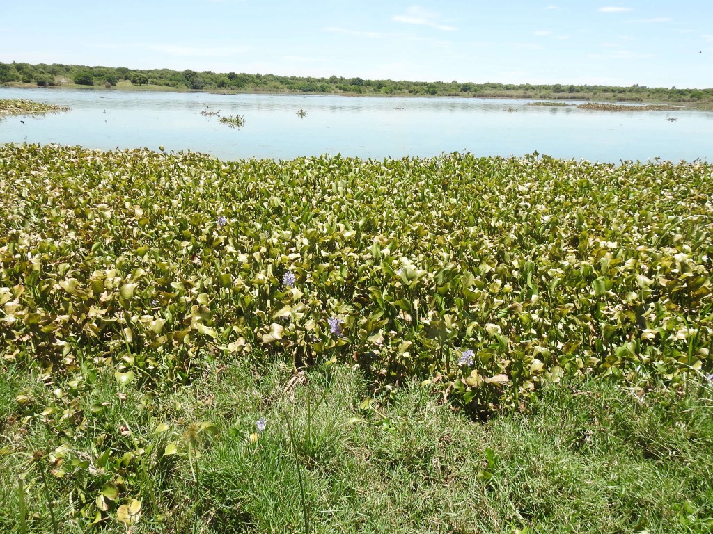
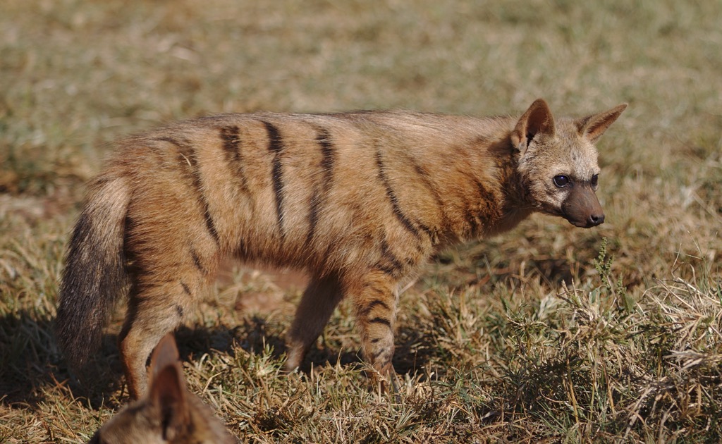
The province’s wildlife includes black-backed jackals, vervet monkeys, scrub hares, multimammate mice, and African mole rats. Birds like African harrier-hawks and Egyptian geese, along with reptiles such as Nile monitors and brown house snakes, are also present.
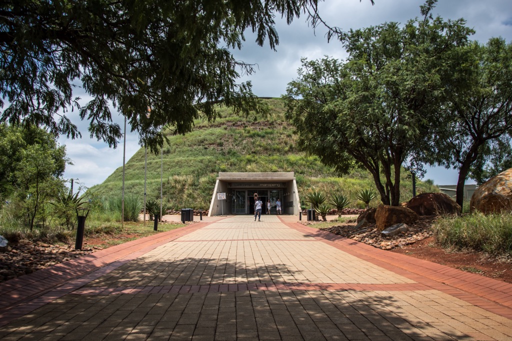
Gauteng's history begins with early human ancestors, evidenced by ancient fossils in the Cradle of Humankind. By around 500 AD, Bantu-speaking peoples had migrated into the area, establishing advanced agricultural and iron-working societies. These early communities laid the groundwork for the region's development long before European colonization.
The arrival of European settlers in the 17th century, particularly the Dutch and later the British, significantly altered the region. The discovery of gold on the Witwatersrand in 1886 transformed Johannesburg into a major economic hub, prompting rapid urbanization and industrialization. The gold rush led to the Second Anglo-Boer War, after which the Transvaal (now known as Gauteng) became part of the British Empire.
During the apartheid era from 1948, Gauteng experienced profound racial segregation, with black South Africans relocated to townships like Soweto while cities developed as white-only areas. Despite this, Gauteng became a center of anti-apartheid resistance, notably during the 1976 Soweto Uprising, which intensified the struggle against racial oppression.
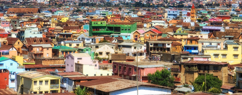
With the end of apartheid and the advent of democracy in 1994, Gauteng saw significant economic and social changes. Nelson Mandela's presidency marked a new beginning, although challenges like economic inequality remain. Today, Gauteng is a vibrant, diverse region, playing a central role in South Africa's economy and politics.
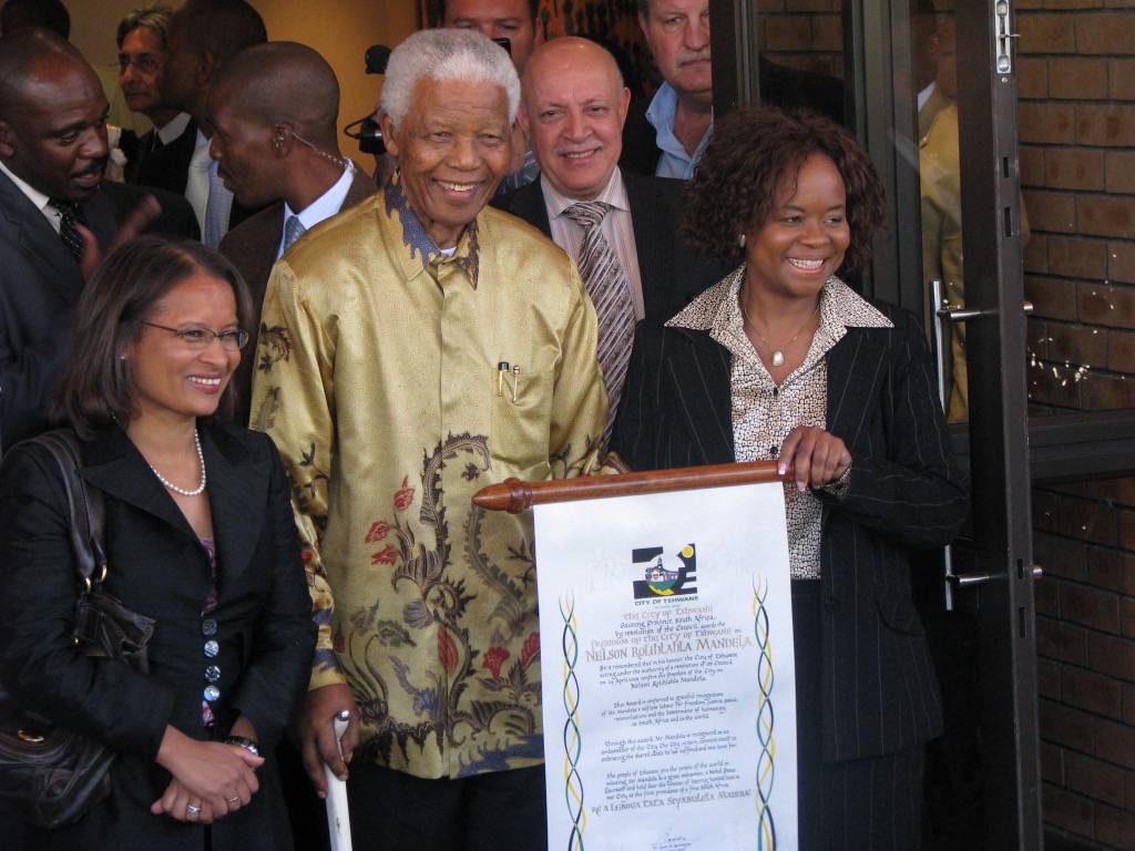
Suikerbos Nature Reserve spans 11,595 ha (28,650 ac) and offers diverse hiking trails for all skill levels. The easy 4 km (2.5 mi) Cheetah Trail is perfect for beginners, while the moderate 10 km (6 mi) Bokmakierie Trail offers panoramic views and wildlife sightings. The 17 km (10.5 mi) Day Visitor’s Trail Trail suits experienced hikers, featuring diverse ecosystems and excellent birdwatching. Wildlife includes zebra, wildebeest, eland, and numerous bird species, with flora comprising grasslands, acacia woodland, and rocky outcrops. Hikers can spot Gauteng’s highest peak, Perdekop, as well as the hills of Suikerbosrand, Heuningkrans, and Vaalkop.
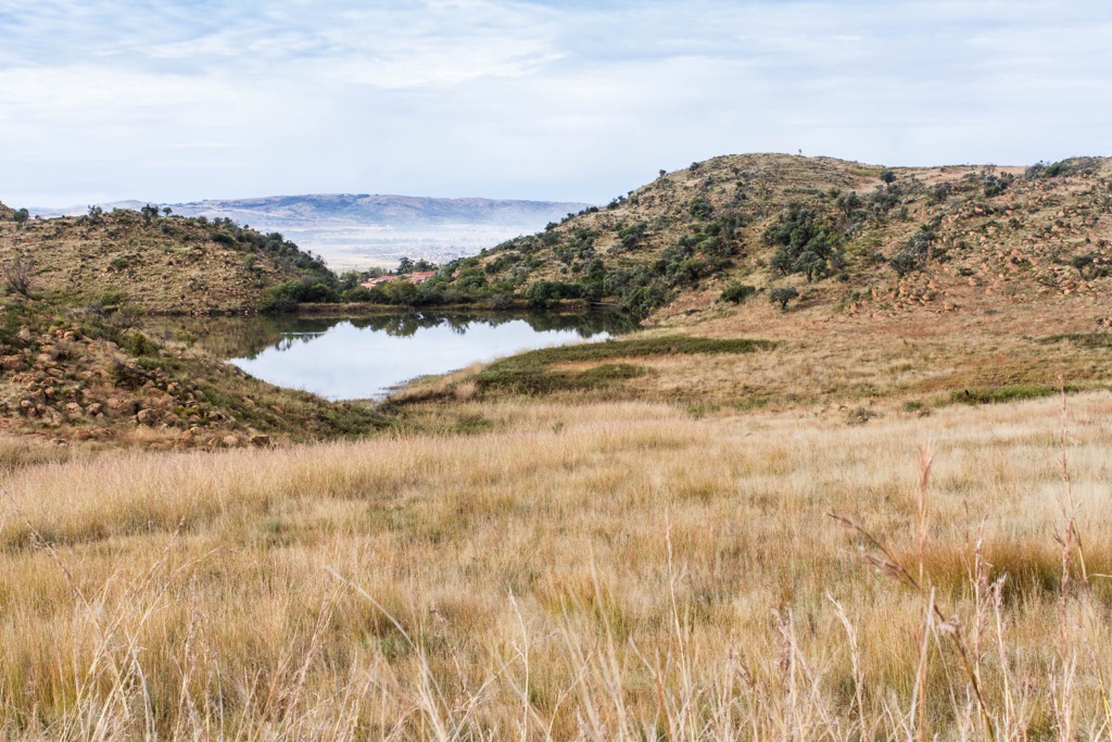
Cradle Moon Lakeside Game Lodge is set under the Swartkop mountain within the 1,600 ha (3,954 ac) Cradle Moon Conservancy and offers a variety of outdoor activities, with its trails being a highlight. Being part of a UNESCO site, the trails journey through a historically rich landscape with some of the earliest discovered human ancestors at the Cradle of Humankind. The lodge features hiking trails ranging from the moderately challenging Green Trail (9 km/5.5 mi) to the longest Blue Trail (18 km/11 mi) through woodlands, grasslands, and along the dam, offering views of antelope, giraffes, zebras, and birds.
Located in Gauteng's Magaliesberg region, Rustig Hiking Trails offer an outdoor experience in the surrounding natural beauty. Located an hour from Johannesburg and Pretoria near Hekpoort, Rustig features scenic vistas, rugged terrain, and rich biodiversity. Trails cater to various fitness levels, from the gentle slopes of the 3 km (1.5 mi) Olivenhout Trail to the challenging 13 km (8 mi) Magalieskrans Trail, each winding through bushveld, rocky outcrops, and valleys, with views of Witwatersberg, Vaalkop, and Magaliesberg. Hikers traverse forests, boulders, and narrow canyons, encountering step ladders and a wooden bridge along a cliff face.
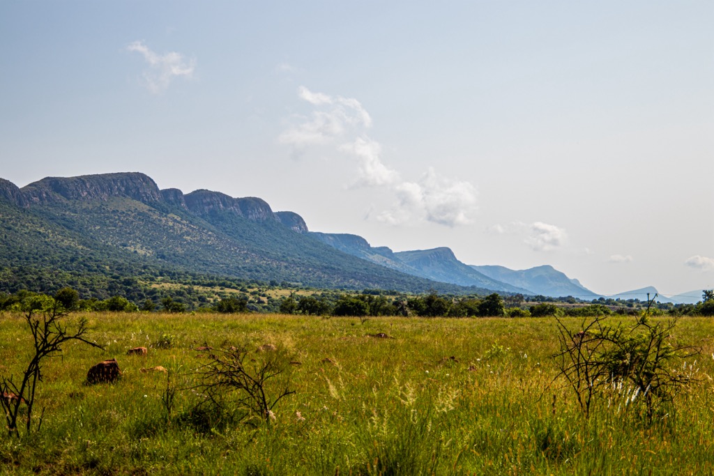
Klipriviersberg Nature Reserve in Johannesburg is a 640 ha (1,581 ac) urban nature reserve known for its Highveld grassland biome. It offers diverse trails for all fitness levels, including the 2 km (1.2 mi) Kiepersol Trail that traverses grasslands, bushveld, and forests, and the 3 km (2 mi) Dassie Trail with scenic views. The Klipriviersberg Loop is the longest trail at 17 km (10 mi) long, tracing the reserve’s border, while the 12 km (7 mi) Wildlife Loop combines Bloubos, Tswana, Kieperson, and Wildebeest trails with 509 meters (1,700 ft) elevation gain.
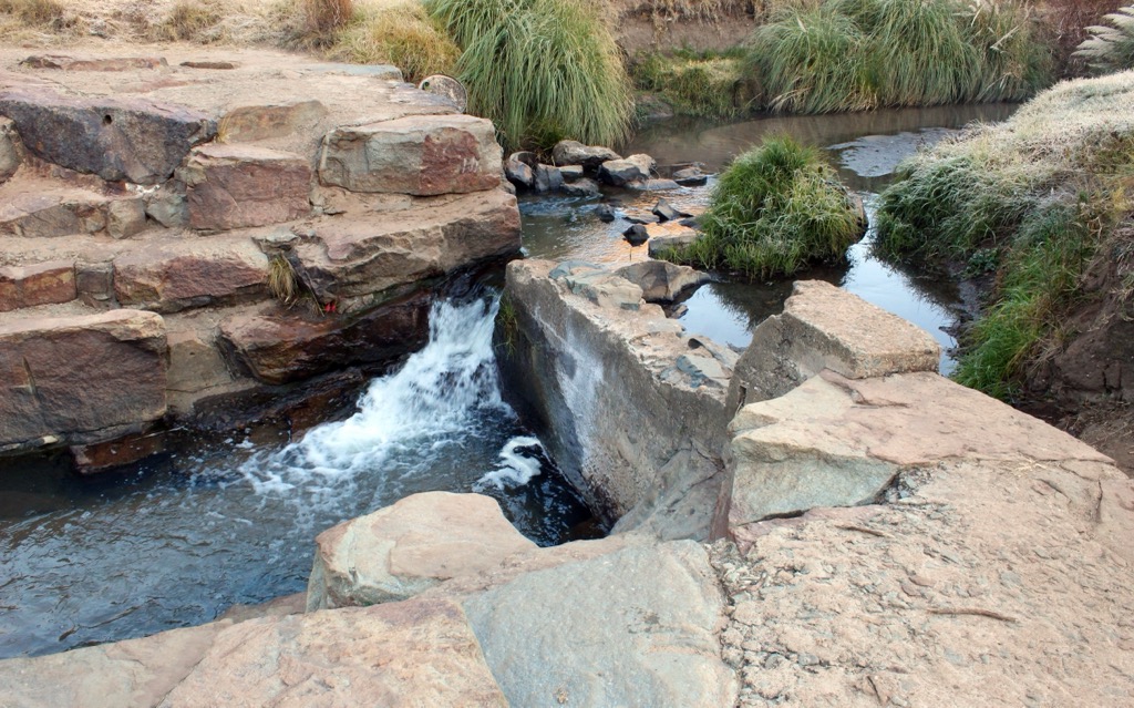
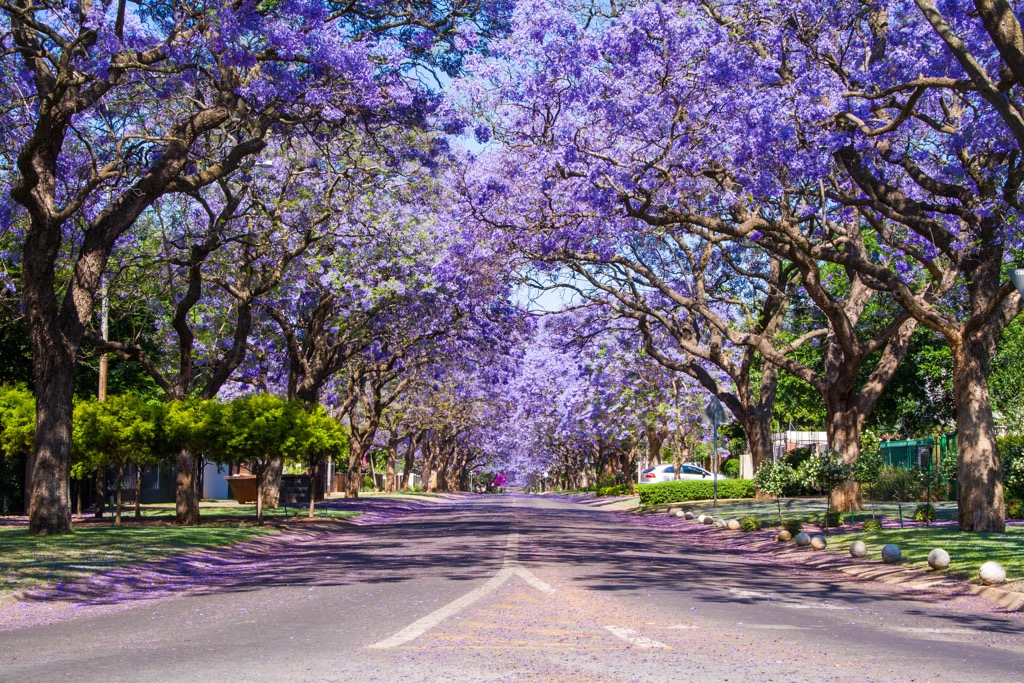
Pretoria, also known as the Jacaranda City due to the abundance of these purple-blossomed trees, is one of South Africa's three capital cities, along with Cape Town and Bloemfontein. It serves as the executive capital, hosting the official residence of the President and many government ministries. This city of many contrasts is located in Gauteng province and is known for its nature, historical monuments, and cultural diversity. Located in the Tshwane Metropolitan Municipality in northern Gauteng, Pretoria is 53 km (33 mi) north of Johannesburg.
Those who wish to explore Pretoria’s greenery should visit Pretoria National Botanic Garden, which showcases the rich flora of South Africa. Visitors can observe more than half of the country’s tree species, as well as many flowering plants, cycads, aloes, and other collections. It also holds the National Herbarium and offers numerous hiking trails.
For a chance to spot wildlife, the Rietvlei Nature Reserve is a 3,800 ha (9,390 ac) sanctuary home to The Big Five: lions, rhinos, buffaloes, elephants, and leopards. Visitors can also see other wild animals, such as cheetahs, zebras, giraffes, and antelopes. You can explore the reserve by car, on foot, or on horseback.
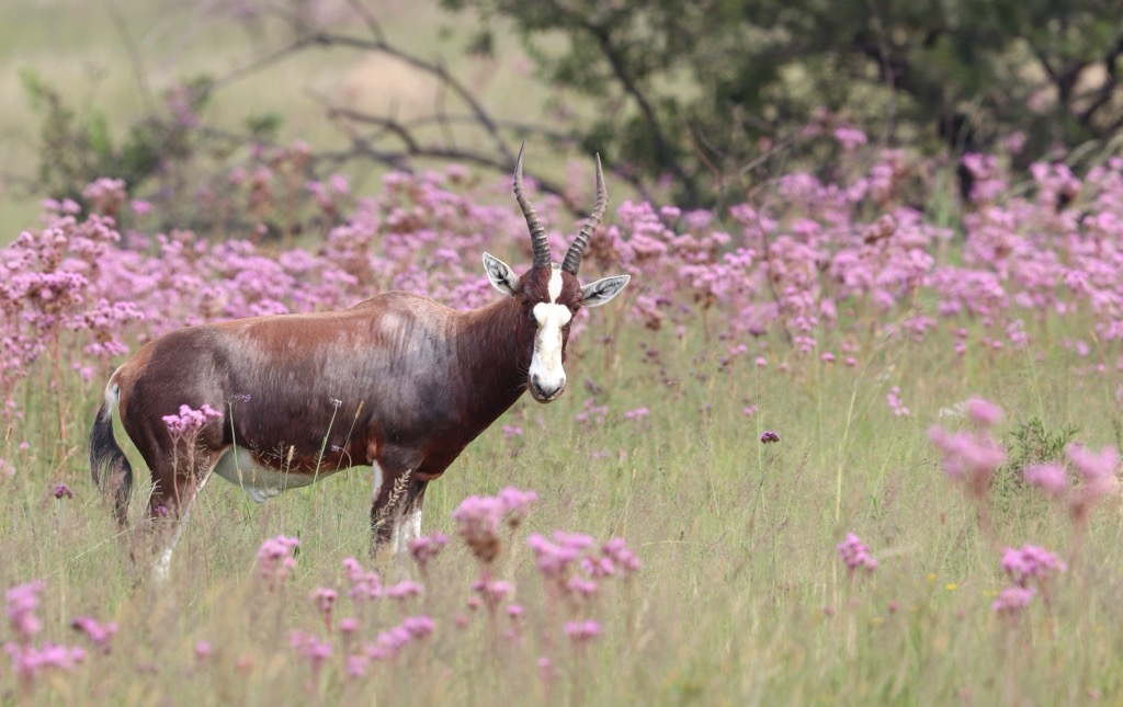
A famous landmark in Pretoria is the Union Buildings, the seat of the South African government. The sandstone buildings are surrounded by terraced gardens that feature statues, fountains, and indigenous plants. A statue of Nelson Mandela stands 9 meters (30 ft) tall and symbolizes his role as a unifying figure for the nation.
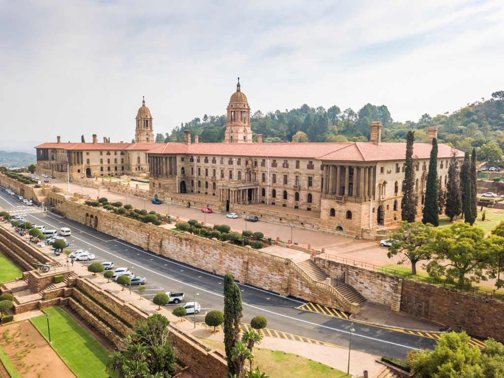
Johannesburg is the largest city in South Africa and one of the world's 50 largest urban areas. While Pretoria is one of the national capitals, Johannesburg is the provincial capital of Gauteng. Known for its vibrant culture, history, and economic significance, Johannesburg is a bustling metropolis with a lot to offer.
Soweto, a district within Johannesburg, was pivotal in the struggle against apartheid. Notable landmarks include the Nelson Mandela House, the Hector Pieterson Museum, and Vilakazi Street. Remarkably, Vilakazi Street is globally unique for having been home to two Nobel Prize laureates: Nelson Mandela and Desmond Tutu. You can learn more about these two men at the Apartheid Museum, which chronicles the rise and fall of apartheid in South Africa.
The Cradle of Humankind, located about 50 km (31 mi) northwest of Johannesburg, is known for its limestone caves. These caves contain some of the oldest hominid fossils ever discovered.

Explore Gauteng with the PeakVisor 3D Map and identify its summits.


