Get PeakVisor App
Sign In
Search by GPS coordinates
- Latitude
- ° ' ''
- Longitude
- ° ' ''
- Units of Length

Yes
Cancel
❤ Wishlist ×
Choose
Delete
Mpumalanga, one of South Africa's nine provinces, is located in the eastern part of the country. It is renowned for its stunning and diverse ecosystems, landscapes, and wildlife, as well as historical sites. There are 485 named mountains in Mpumalanga. Die Berg (2,331 m / 7,648 ft) is the highest point, while the most prominent mountain is Mariepskop (1,947 m / 6,388 ft).
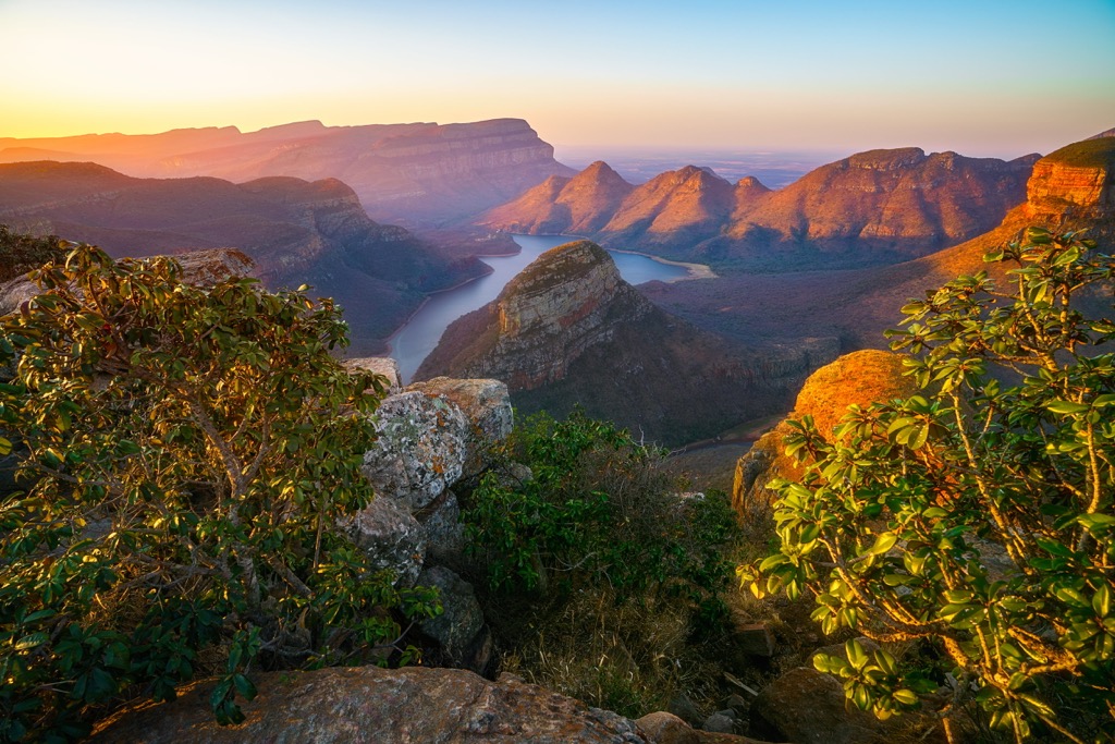
Mpumalanga, meaning ‘the place where the sun rises’ in siSwati, reflects the province's northeastern geographic position. It is bordered by the provinces of Limpopo to the north, Gauteng to the west, the Free State to the southwest, and KwaZulu-Natal to the south. It also shares international borders with Eswatini to the southeast and Mozambique to the east.
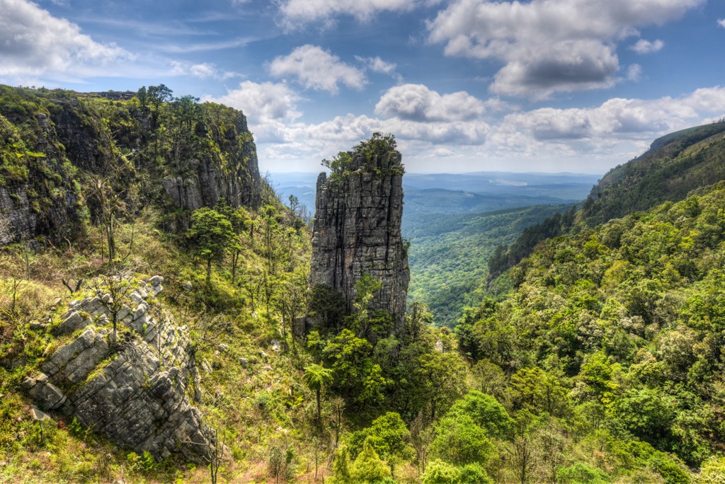
Mpumalanga's topography is varied, featuring the Highveld, Lowveld, and the Drakensberg Escarpment. In the west, the Highveld has rolling grasslands exceeding 2,000 meters (6,562 ft) above sea level. The Lowveld in the east descends to around 500 meters (1,640 ft) and includes subtropical forests and savannas, notably housing the southern part of the Kruger National Park. The eastern boundary of Mpumalanga is marked by the Drakensberg Escarpment, offering dramatic views, deep valleys, and rugged cliffs.
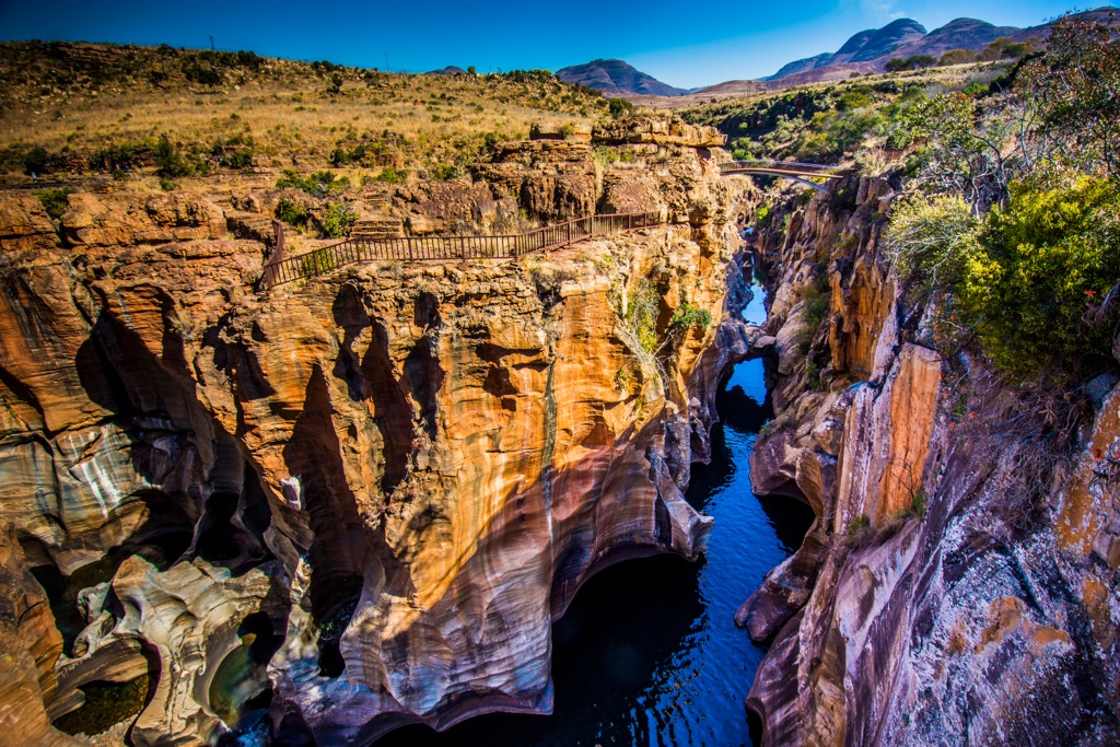
The Panoramic Route is an acclaimed route traversing the Drakensberg Escarpment. Key highlights include the Blyde River Canyon, one of the largest green canyons globally, and the Three Rondavels rock formations. God’s Window provides expansive views of the Lowveld, while Bourke’s Luck Potholes showcase unique rock formations formed by the confluence of the Blyde and Treur rivers.
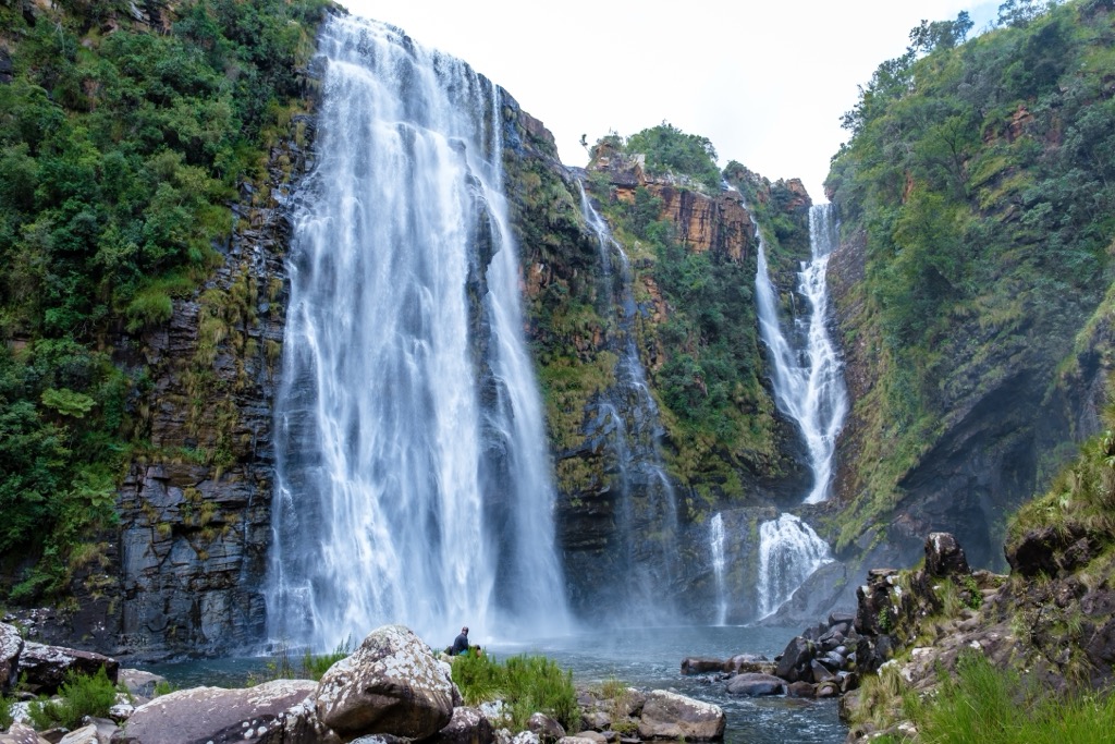
Significant rivers, such as the Olifants, Crocodile, and Komati, traverse the province, supporting lush landscapes and ecosystems. Mpumalanga is famous for picturesque waterfalls, including Mac-Mac Falls, Berlin Falls, and Lisbon Falls.
The province’s climate varies, with the Highveld experiencing a temperate climate with summer rainfall and the Lowveld having a subtropical climate with hot, humid summers and mild winters. The range of climates supports rich biodiversity, from Highveld grasslands to Lowveld savannas and forests, home to the Big Five and many other species in the Kruger National Park.
Urban centers include Mbombela, the capital and economic hub; Emalahleni, a coal mining town; and Secunda, known for its petrochemical industries. The province has a diverse cultural heritage with significant populations of Swazi, Ndebele, and Tsonga peoples.
Mpumalanga’s geological landscape is both diverse and ancient. The Barberton Greenstone Belt, one of the Earth's oldest rock formations, provides insights into early crustal development and ancient life.
The region also features the Bushveld Igneous Complex, rich in platinum group metals, chromium, and vanadium. The Transvaal Supergroup is renowned for its iron and manganese ores, while the coal-rich Karoo Supergroup plays a significant role in South Africa's energy production. The Drakensberg Mountains, part of the Karoo-Ferrar igneous province, dominate the region's topography.
Rivers are responsible for the province’s primary geological wonder, the Blyde River Canyon. Water slowly wore away the softer sandstone layers, leaving quartzite and shale to form spectacular rock formations like the Three Rondavels. The name rondavel comes from the African huts prevalent throughout the southern part of the continent.
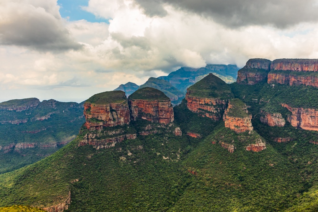
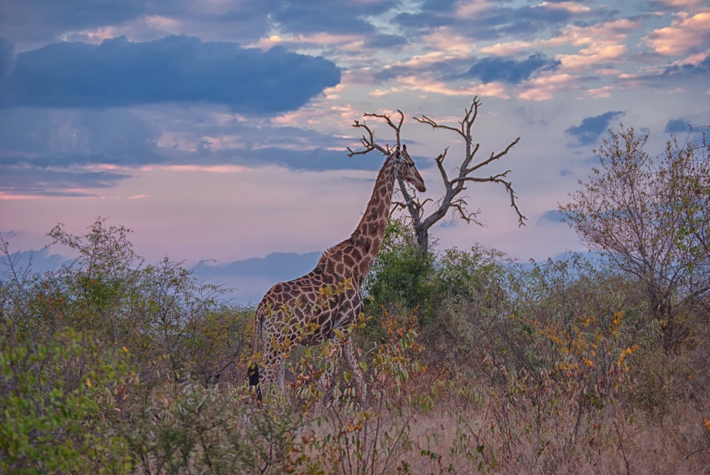
Due to its varied topography and climate, Mpumalanga showcases a rich and diverse ecology encompassing savanna, grassland, and forest biomes. The region’s wildlife is among the world’s most famous, especially in Kruger National Park, which receives 1.8 million tourists annually, the highest number of any wildlife-based park in Africa.
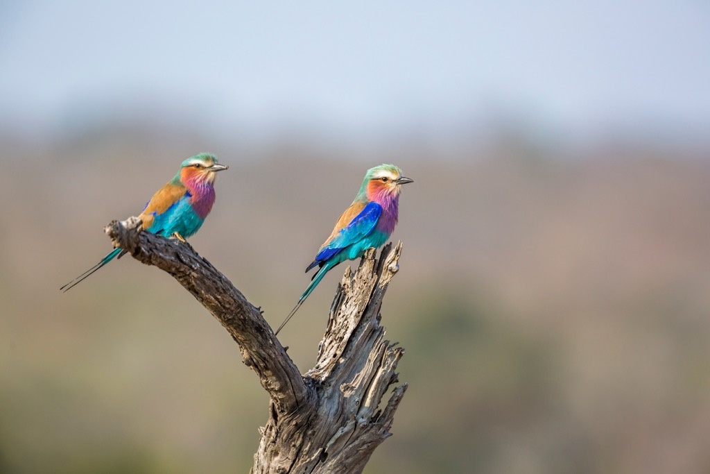
The flora ranges from acacia and marula trees in the Lowveld savannas to yellowwoods and ferns in the montane forests of the Drakensberg Escarpment.
Fauna is equally diverse, with notable species including the Big Five in Kruger National Park, over 500 bird species such as the Southern Ground Hornbill and African Fish Eagle, and a variety of reptiles, amphibians, and invertebrates.
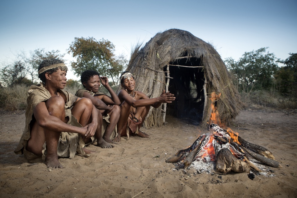
The San and Khoikhoi were the first inhabitants of Mpumalanga, leaving behind rock art that offers a glimpse into their ancient lives. From the 4th to 6th centuries AD, Bantu-speaking agriculturalists, including the Swazi and Ndebele, migrated into the region, bringing advanced farming techniques and iron-smelting technology.
European explorers arrived in the late 15th and early 16th centuries, with the Portuguese, Dutch, and British making significant impacts. The discovery of coal, gold, and diamonds increased European interest in Mpumalanga, leading to conflicts such as the Anglo-Zulu War of 1879 and the Anglo-Boer War (1899-1902).
In the 20th century, Mpumalanga saw economic development from mining but faced challenges, particularly during the apartheid era (1948-1994), which imposed racial segregation and inequality.
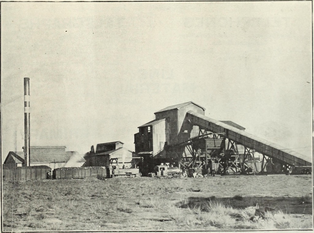
After the end of apartheid in 1994, Mpumalanga has worked to address past disparities and promote economic and social development. The province is known for its natural beauty, including Kruger National Park, and strives to balance economic growth with preserving cultural and environmental resources.
The Blyde River Canyon is one of the largest green canyons in the world, celebrated for its breathtaking scenery and diverse ecosystems. The canyon offers various hiking trails catering to different experience levels. The Leopard-Guinea Fowl-Tufa Trail is a moderate-to-challenging 7 km (4 mi) hike providing views of the Three Rondavels, Thabaneng, and Mariepskop, while the Belvedere Trail is a strenuous route descending into the canyon towards the Blyde River.
The Bourke’s Luck Potholes Trail is an easy 1 km (0.6 mi) walk that showcases unique eroded red sandstone formations. For a longer trek, the Loerie Trail is a 10 km (6 mi) easy-to-moderate hike through an Indigenous forest with pools and small waterfalls. Additionally, the Kadishi-Tufa Trail offers a relatively easy 2 km (1.2 mi) hike to the Kadishi Tufa Waterfall.
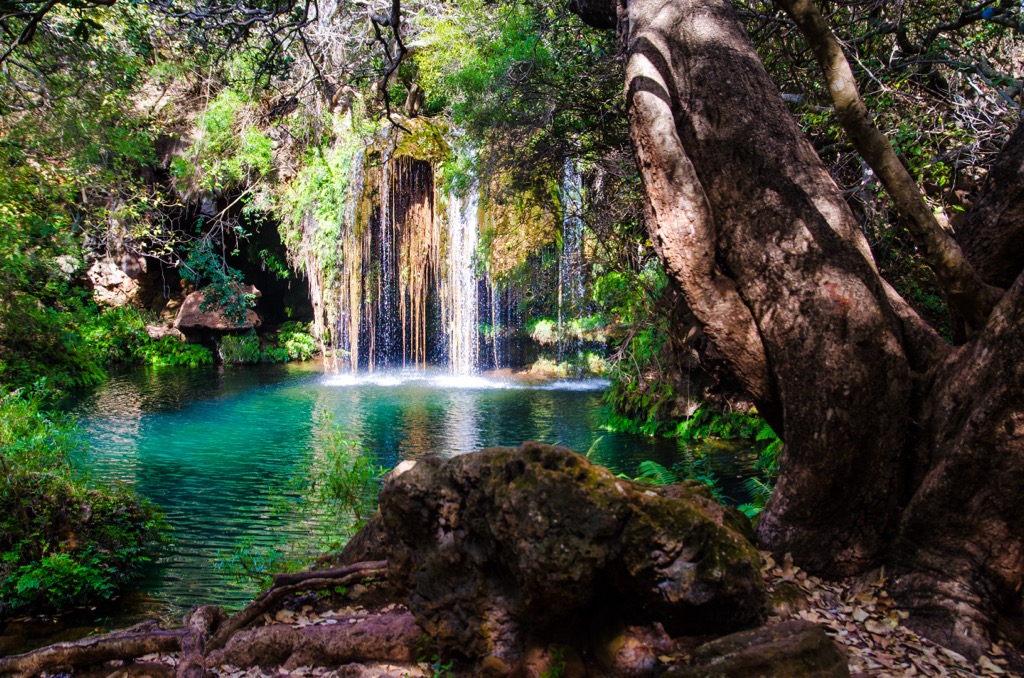
God’s Window Trail, part of the scenic Panorama Route, spans approximately 11 km (7 mi). This moderately challenging loop trail treats hikers to stunning views of the Olifants River, lush landscapes, and the Drakensberg mountains, notably Quartz Hill, Drie Koppe, and Remhoogtekop. Another option is the Rainforest Trail via God’s Window, a shorter 2 km (1.2 mi) out-and-back route near Hazyview.
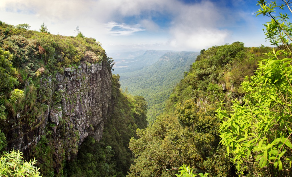
The Mac-Mac Falls Trail is a picturesque hiking route that covers a short distance of 0.8 km (0.5 mi). The trail offers moderately challenging terrain, with an elevation gain of about 54 meters (177 ft). As hikers walk along the smooth, uneven rocks, they’re treated to stunning views of the surrounding forest, river, and the Mac-Mac Falls, which cascade 65 meters (213 ft) into a gorge. For the best experience, visit during the lush greenery of summer.
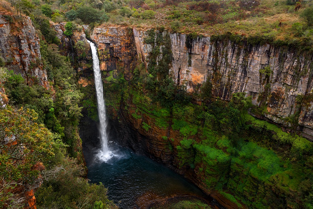
Wathaba Hiking Trails, located in the Skurweberg mountains near Machadodorp, Mpumalanga, is an award-winning hiking destination. The trails pass through indigenous kloofs, home to over a hundred tree species and a rich array of birdlife. The Bosbok Trail, 4 km (2.5 mi) long, and the more challenging Lynx Loop Trail, 10 km (6 mi) long, feature seven waterfalls, including the Cascades Waterfall.
Mbombela, formerly known as Nelspruit, is a key city in Mpumalanga. As the provincial capital, it’s a gateway to the region’s natural attractions. Known for its subtropical climate, Mbombela is an excellent base for exploring Mpumalanga’s natural beauty.
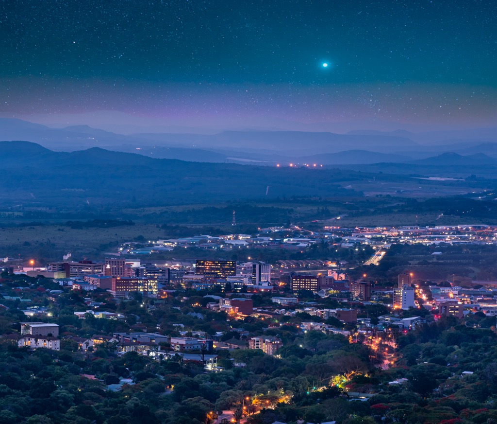
Kruger National Park, 67 km (41 mi) from Mbombela, is one of the most renowned nearby attractions. It’s a major game reserve with diverse wildlife, including the Big Five—lion, leopard, rhinoceros, elephant, and buffalo. Visitors can enjoy self-drive safaris, guided tours, and walking safaris.
The Sabie Waterfalls, 63 km (39 mi) from Mbombela, are famous for their picturesque beauty. Key waterfalls include Lone Creek Falls, Bridal Veil Falls, and Horseshoe Falls. The area offers opportunities for hiking, picnicking, and photography.
The Lowveld National Botanical Garden, located in Mbombela along the Crocodile River, features a range of indigenous and exotic plant species. Visitors can walk through its lush pathways, enjoy vibrant blooms, and visit the African Rainforest Conservatory to see rare cycads and ferns.
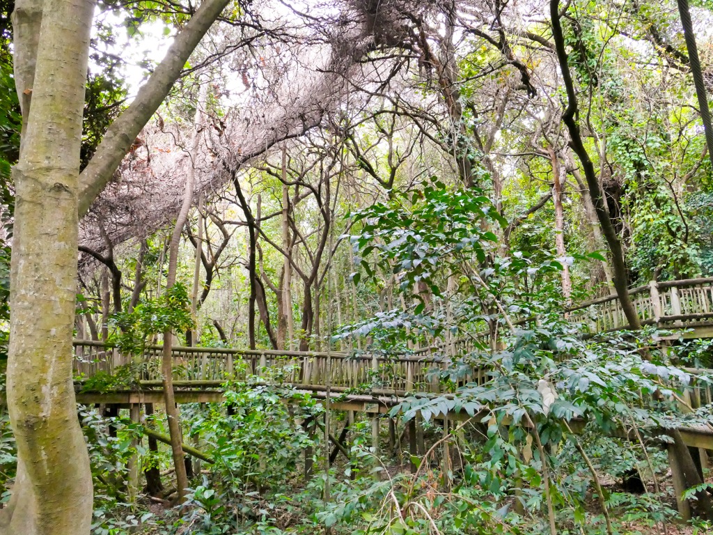
Emalahleni, known as the Coal City, is situated in Mpumalanga. Though it’s a significant center for coal mining, the area is also a gateway for outdoor attractions.
The Mpumalanga Panorama Route, accessible from Emalahleni, includes several of the notable attractions and hikes mentioned earlier. The scenic drive offers views of waterfalls, canyons, and other landmarks, including Blyde River Canyon, Lisbon Falls, and Berlin Falls.
Badplaas Hot Springs, located around 162 km (100 mi) from Emalahleni, provides a relaxing retreat with natural hot springs in a picturesque location. Closer to Emalahleni is Witbank Dam. The dam creates a large artificial lake, ideal for a day of boating, fishing, or picnicking.
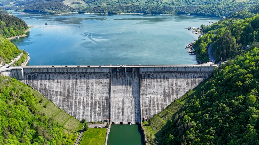
Explore Mpumalanga with the PeakVisor 3D Map and identify its summits.


