Get PeakVisor App
Sign In
Search by GPS coordinates
- Latitude
- ° ' ''
- Longitude
- ° ' ''
- Units of Length

Yes
Cancel
❤ Wishlist ×
Choose
Delete
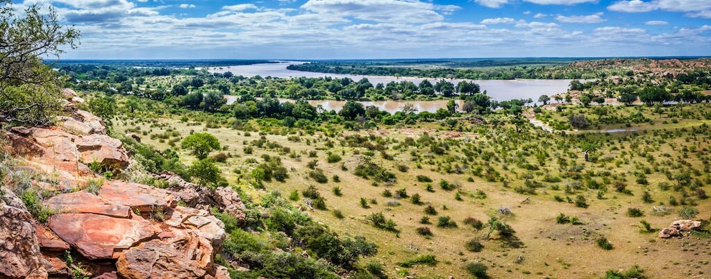
Limpopo is the northernmost province of South Africa, bordering Botswana, Zimbabwe, and Mozambique. It’s one of South Africa’s nine provinces, known for vast river valleys, mountains, and bushveld, as well as massive protected game reserves like Kruger National Park. Culturally, the province is home to Venda, Tsonga, and Northern Sotho peoples and Mapungubwe, an ancient Iron Age kingdom and UNESCO World Heritage Site. There are 1376 named mountains in Limpopo. The highest and most prominent mountain is Iron Crown Peak, measuring 2,126 meters (6,975 ft).
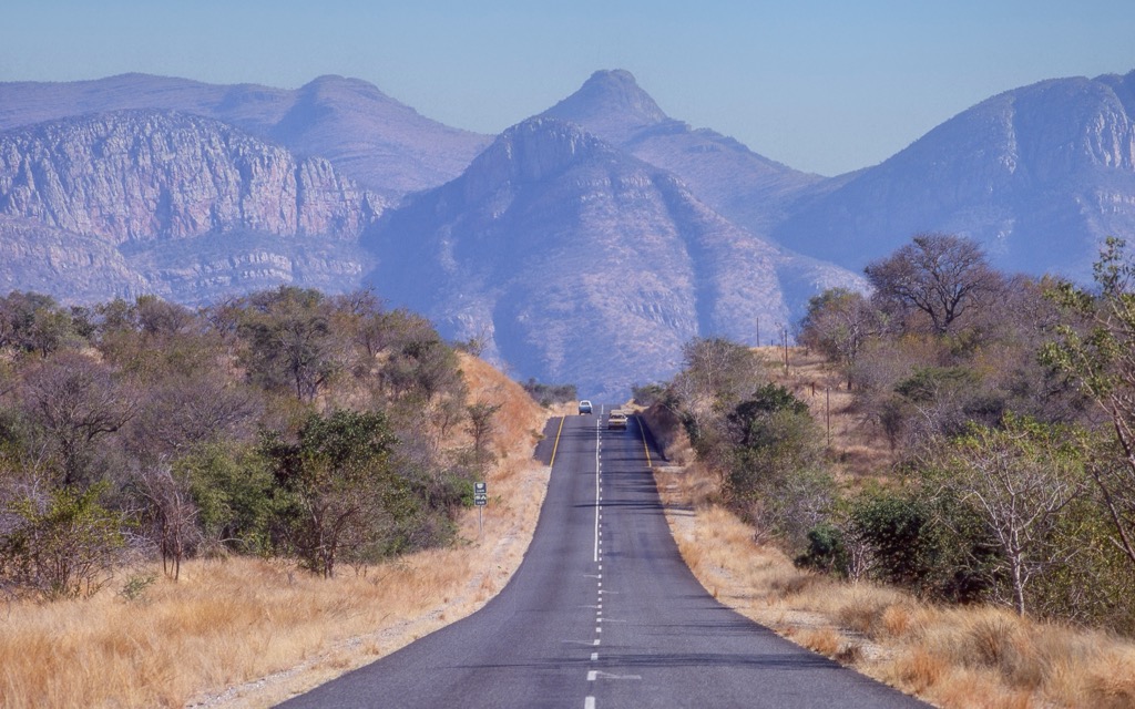
Limpopo is South Africa's northernmost province, bordered by Botswana, Zimbabwe, and Mozambique to the north. The Limpopo River forms a natural boundary between the province and the surrounding countries. To the south, Limpopo borders Mpumalanga, Gauteng, and North West provinces.
The landscape can only be described as vast, consisting of formidable plateaus, mountain ranges, and river valleys. The Bushveld, a large savannah region with grassy plains and scattered trees, covers much of central and western Limpopo and is rich in mineral deposits such as platinum, chrome, and iron ore. The Drakensberg Escarpment rises sharply in the east, while the Waterberg Mountains in the west are part of a UNESCO Biosphere Reserve. The northeastern Lowveld is home to parts of Kruger National Park.
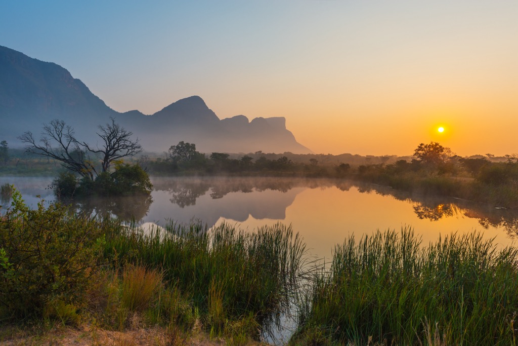
Several major rivers run through Limpopo, including the Limpopo River, a vital water source for the province. The Olifants and Letaba rivers also support agriculture and wildlife.
Limpopo's climate ranges from semi-arid to subtropical. The Lowveld experiences hot, humid summers and mild winters, with most rain falling from November to March. Higher-elevation areas, such as the Drakensberg and Waterberg mountains, are cooler and receive more rainfall, sometimes experiencing frost in winter.
The province is rich in biodiversity and home to several protected areas. The Kruger National Park supports diverse wildlife, including the Big Five. Other notable conservations include Marakele National Park and Mapungubwe National Park.
The geology of Limpopo features ancient and mineral-rich formations. The Limpopo Belt, formed 2.7 to 2.0 billion years ago, is the province’s dominant geological formation and contains high-grade metamorphic rocks like granulites and gneisses, shaped by tectonic collisions.
The Bushveld Igneous Complex, southwest of the Limpopo Belt, is a 2-billion-year-old layered igneous intrusion. It is one of the largest of its kind globally and holds significant deposits of platinum group metals, chromium, and vanadium, essential to South Africa’s mining industry.
Limpopo also contains greenstone belts, such as the Pietersburg Greenstone Belt, known for gold deposits, and younger sedimentary basins like the Tuli Basin, which feature Karoo Supergroup rocks, including sandstones and coal.
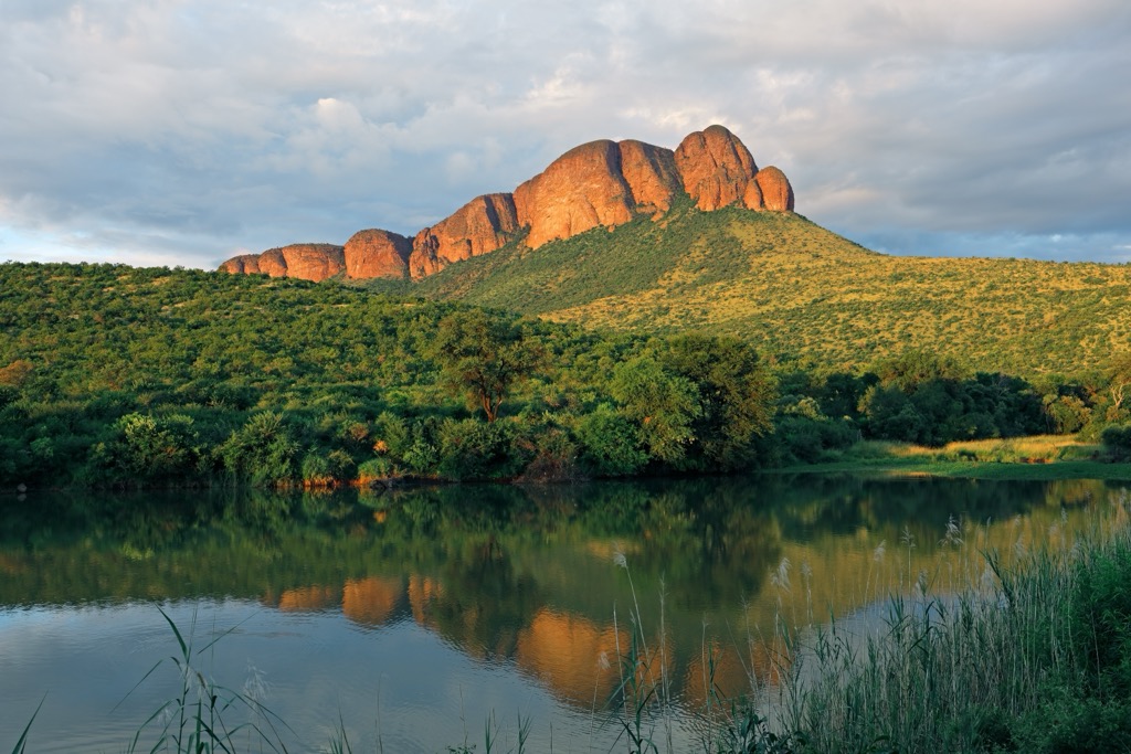
The Waterberg Mountains are the most famous and protected in the province, being a UNESCO World Heritage site. They’re composed of ancient sedimentary formations that date back 1.8 to 2.5 billion years, making them some of the oldest mountains in southern Africa. The greater Waterberg Supergroup consists of sandstones and conglomerates in a shallow inland basin; erosion has gradually produced the striking cliffs that define the Waterberg today.
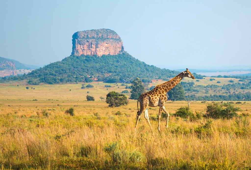
Savanna is the dominant biome in the Limpopo province. Grasslands are dominated by a mix of grasses, shrubs, and trees adapted to fire-prone environments, with frequent fires helping maintain ecological balance. Specially adapted trees like acacias and baobabs are charismatic and have become some of the region’s most celebrated floral residents.
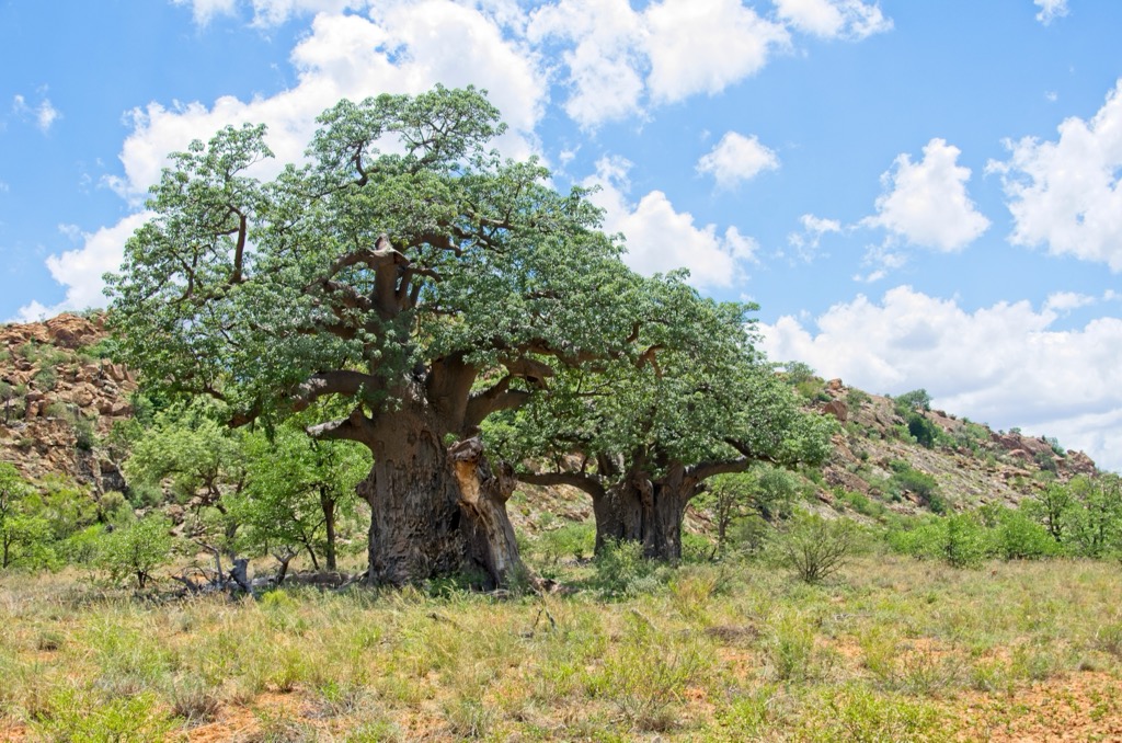
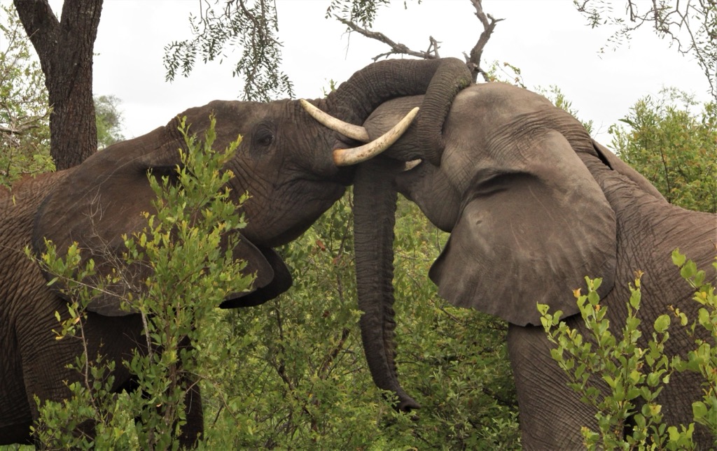
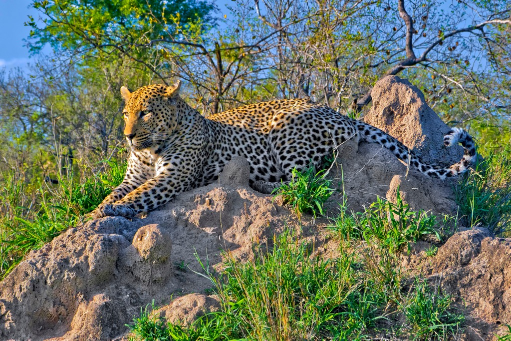
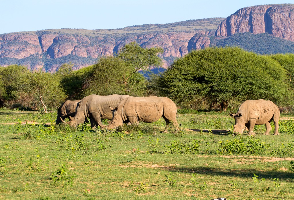
Mopane woodlands are vital for herbivores; these woodlands contribute to the immense diversity of large, charismatic wildlife that characterizes Limpopo and much of the rest of southern Africa. Limpopo is home to elephants, lions, leopards, and rhinoceroses, especially in protected areas like Kruger National Park. It is also known for its birdlife and over 600 species of reptiles, amphibians, and invertebrates contributing to the complex ecological web.
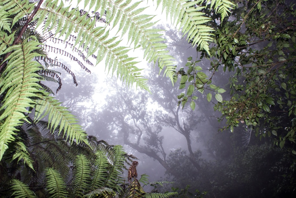
In contrast to dominant grasslands and arid woodlands, patches of Afro-montane forests are found in wetter, mountainous areas. Magoebaskloof Forest at the foothills of the Drakensberg is one of the best examples. It’s dominated by dense, lush growth, with tree species such as yellowwood (Podocarpus), stinkwood (Ocotea bullata), and ironwood (Olea capensis). Magoebaskloof is a remnant of a once extensive forest that logging has largely whittled away.
Humans have inhabited the Limpopo region for a very long time. Archaeological evidence suggests that anatomically modern humans, Homo sapiens, have been present in the area for at least 300,000 years. By around 300 AD, Bantu-speaking African communities were well-established in the region.
One of the most significant periods in Limpopo’s history is the era of the Mapungubwe Kingdom. This kingdom was a major center of trade and culture, with evidence of extensive trade networks reaching as far as China.
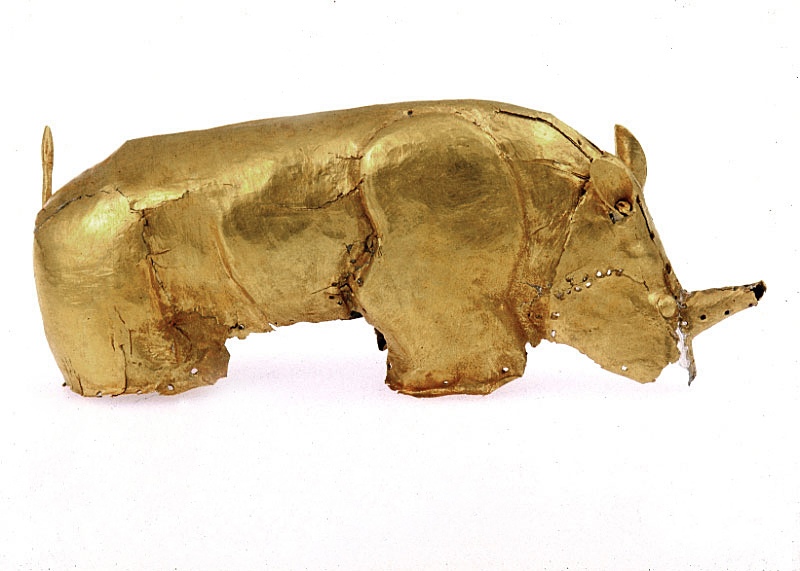
Around five centuries ago, Sotho-speaking people migrated into the region from the Great Lakes area of Central Africa. The Hurutse, one of the last groups to arrive, settled in what is now the west-central part of Limpopo Province.
In the early 1800s, the arrival of European settlers marked a new chapter in Limpopo’s history. The Voortrekkers, Dutch-speaking pioneers, moved into the area, leading to conflicts with the indigenous populations. The region was later incorporated into the Transvaal Republic and subsequently became part of the Union of South Africa.
In the 20th century, Limpopo was part of the old Transvaal Province. After the end of apartheid in 1994, Limpopo was unified, initially being named Northern Transvaal and then Northern Province before being renamed Limpopo in 2002.
Kruger National Park is famous for its safari drives. However, it also provides excellent hiking options. On foot, the park comes to life; the slower pace allows for a more focused experience of all parts of this complex ecosystem.
Armed rangers lead all hikes because of the presence of predators. Some notable trails include the Lonely Bull Trail, a four-day backpacking route along the Letaba River, and the Nyalaland Wilderness Trail, which takes hikers through the remote northern wilderness and features cultural sites. The Bushmans Trail highlights the history of the San People visiting rock art sites, while the Napi Wilderness Trail explores the Napi and Pioneer rivers and is perfect for birdwatching.
Marakele National Park offers plentiful hiking and game drive experiences. The Waterberg Kruin Hiking Trail covers 25 km (15.5 mi), featuring an 18 km (11 mi) circular route on the first day with panoramic views from Perdekop and a 7 km (4 mi) flat terrain hike on the second day. The Skeurkrans Hiking Trail spans 14.5 km (9 mi) and showcases dramatic mountain landscapes of Hanglip, Louwskraal, and Spoienkop, as well as opportunities for birdwatching. The Marakele Game Drive Trail offers a 69 km (43 mi) route in open safari vehicles led by guides during prime wildlife viewing times.
The Magoebaskloof Hiking Trails are a series of trails through forests and waterfalls with diverse flora and wildlife. The main trail is about 60 km (37 miles) long and takes multiple days. It’s a full-bodied adventure into the Afro-montane forest, one of the planet’s rarest ecosystems.
There are also a few options for shorter hikes. The 2 km (1.2 miles) Debengeni Falls Trail leads to the 80-meter-high (262 feet) Debengeni Falls, while the 15 km (9 miles) Woodbush Forest Reserve Trail winds through forests of towering yellowwood trees and offers scenic mountain views.
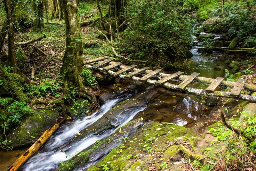
The Stamvrug Hiking Trails feature a trail system of various routes within the Bateleur Nature Reserve. Day trails include the Zebra Trail (9 km / 5.5 mi), Escarpment Day Trail (5 km), Moepel Day Trail (8 km / 5 mi), Game Day Trail (6 km / 4 mi), Quagga Trail (9 km / 5.5 mi), and the more challenging Sunset Trail (11 km / 7 mi). Two-day backpacking options include the Kloof Trail (13 km / 8 mi) and Leopard Trail (12 km / 7 mi). Hikers pass through grassy plains, ravines, and wooded areas while enjoying views of Zuurvlei and Elandsfontein and spot wildlife like baboons and black eagles.
Polokwane, formerly Pietersburg, is the capital city of the Limpopo province. It’s about midway between Pretoria and the Zimbabwe border and is a gateway to neighboring countries like Botswana, Zimbabwe, Mozambique, and Eswatini.
Polokwane Game Reserve is a large game reserve located just outside the city. Visitors can choose between self-drive and guided game drives to see zebras, giraffes, and hundreds of bird species.
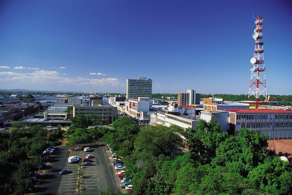
Located near Polokwane is the Mokopane Biodiversity Conservation Centre. It focuses on conserving various South African wildlife, such as lions, African elephants, and African penguins.
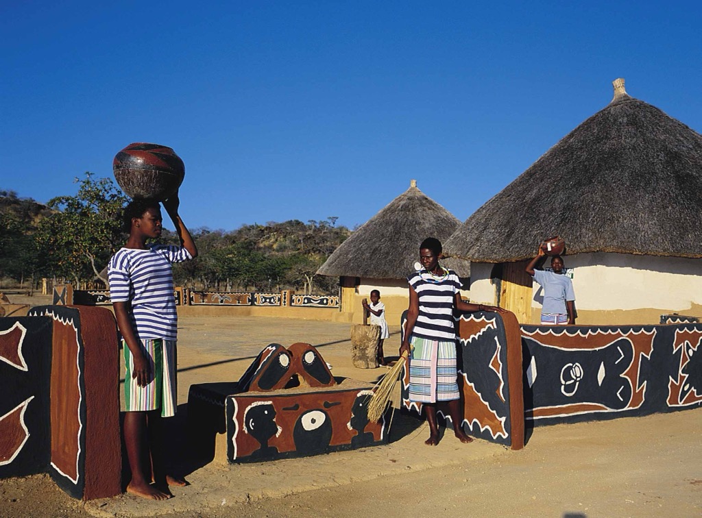
Bakone Malapa Northern Sotho Cultural Village offers the indigenous culture and history of the Bakone people. It offers exhibits and activities to engage in traditional crafts and performances showcasing local music and dance.
Hoedspruit is a hub for ecotourism because of its proximity to Kruger National Park and Blyde River Canyon.
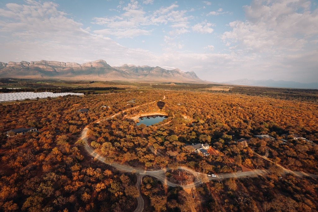
Kruger National Park is one of the largest game reserves in Africa and is located 60 km (37 mi) from Hoedspruit. Visitors can go on self-drive safaris or guided tours to see the Big Five and other wildlife. Meanwhile, Blyde River Canyon is the third-largest canyon in the world and offers hiking, boat trips, and viewpoints like the Three Rondavels.
The Hoedspruit Endangered Species Centre protects endangered species such as cheetahs and rhinos. Visitors can learn about conservation efforts and see these animals up close.
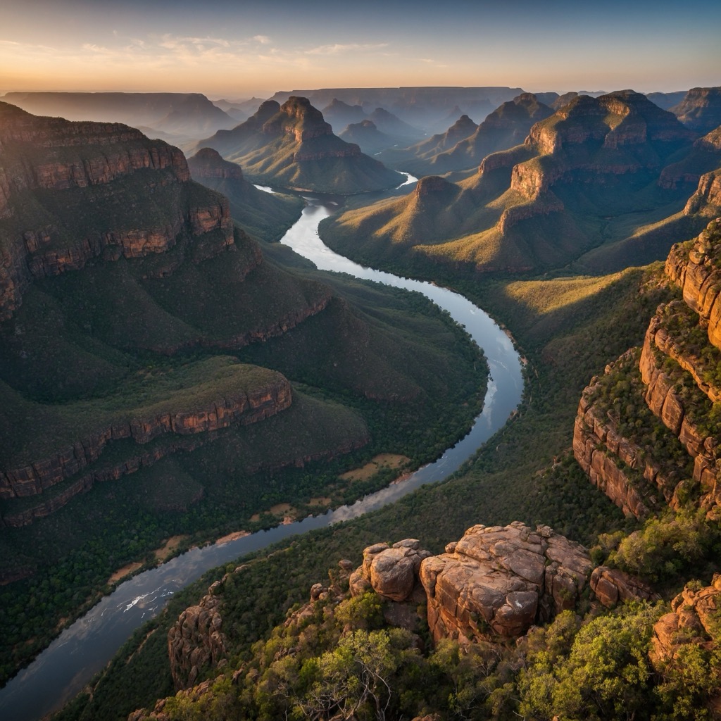
Explore Limpopo with the PeakVisor 3D Map and identify its summits.

