Scan the QR code and open PeakVisor on your phone
Hidden in the middle of Hobbit Land, right in the east of New Zealand’s South Island, Canterbury is the country’s largest region with a total area of 45,346 sq.km.
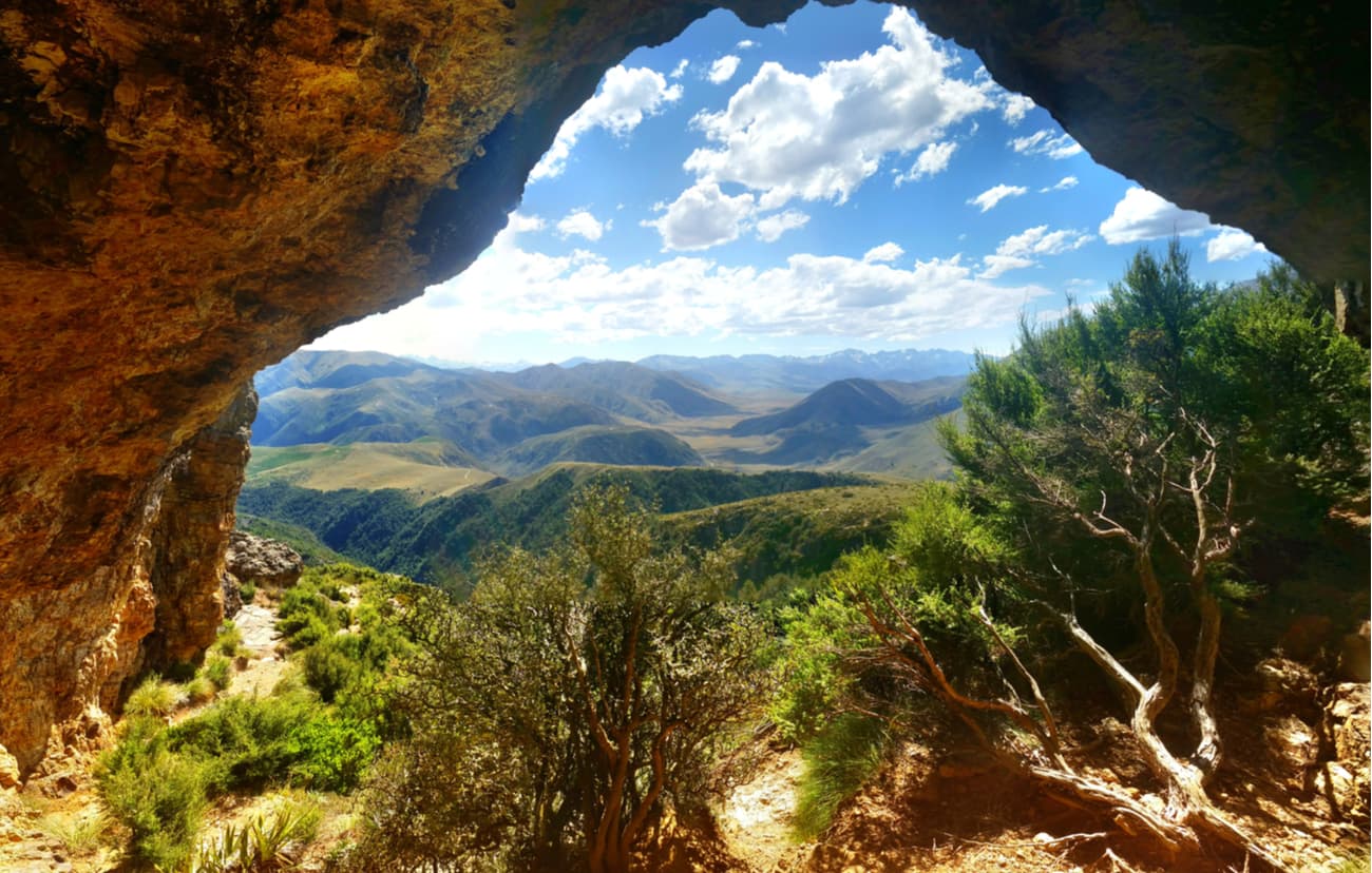
Its landscape is the one to die for: it has Lord of the Rings fairy-tale scenery, tricky walks amongst the bushes, mountain trails, hiking and riding scenic routes, wild rivers and lakes that allow kayaking, swimming, and fishing. This state is a heaven for people of all shapes and sizes, those brave-hearted seeking adventures with tough terrains, families wishing to enjoy nature with easy and short strolls, and couples keen on romantic walks and some me-time spent together in beautiful and wonderful elfin-land-like forests.
Canterbury is subdivided into five regions: Kaikoura, North Canterbury, Mid Canterbury, Christchurch, Banks Peninsula, and South Canterbury.
Within these five regions there are many beautiful walks and hikes to fulfil your desires. Some of those walks and hikes include:
With an estimated population of 398,520, Christchurch is the largest city in the region and the second-largest in the region. This city offers diversity, culture and comfort. With only 1 to 3 hours from Christchurch lie most of the fun things Canterbury has to offer, it is a perfect place to set as the hub while you explore the region.
If however, you prefer to stay closer to your walks or hikes there are many options available in each of the areas. Below we give a list of motels and hotels you can stay in. I personally prefer to stay in private homes as this gives me more flexibility and keeps the costs down. However, with private homes, you have to do the cleaning yourself or pay extra for this service. If this is a hassle you don’t want to take, don’t worry, under each region we have given you other accommodation options.
With all the diversity Canterbury has to offer, it is not surprising that this county caters for every fitness level from the toddlers to young buddying gym bunnies who are seeking strenuous hikes, adventure and adrenaline.
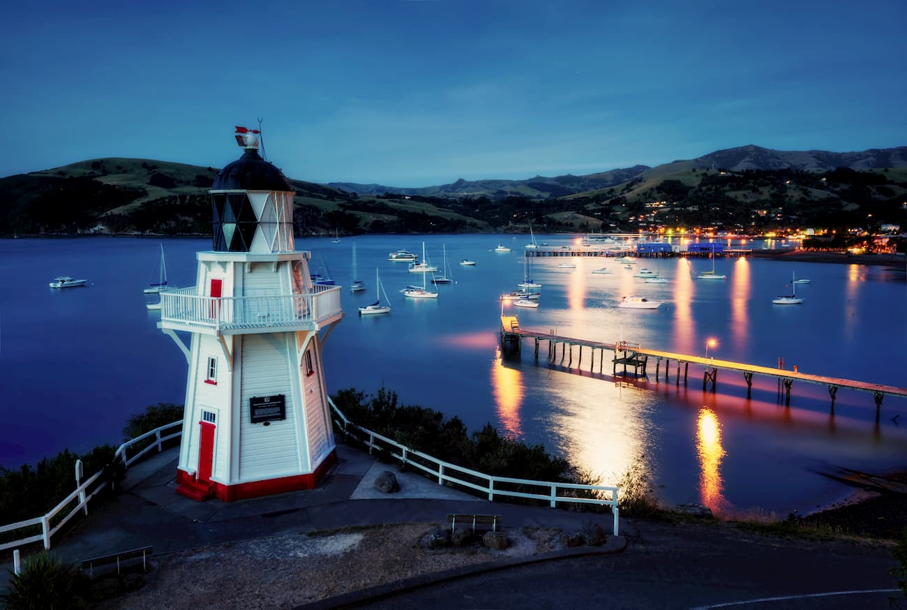
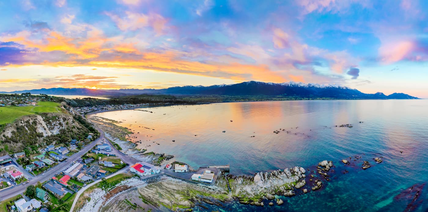
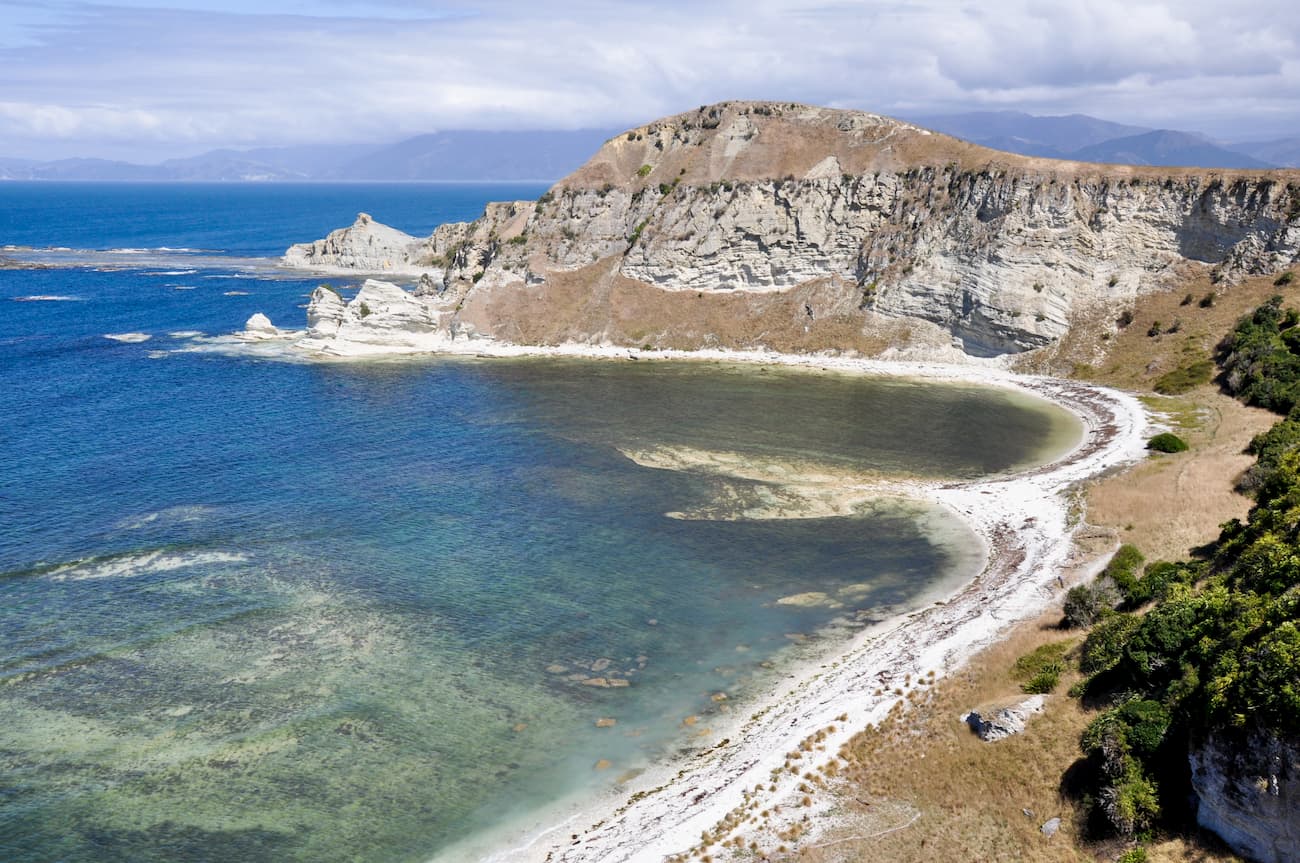
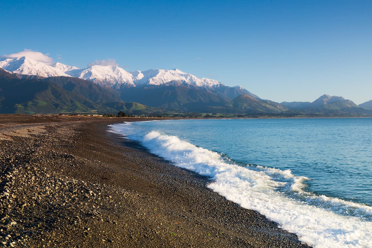
Located approximately 2.5 hours north of Christchurch, Kaikoura is well known for its abundant wildlife including the much-loved sperm whale and dolphin population. Kaikoura’s landscape is truly magical. The village is jammed between the Kaikoura Range and the Pacific Ocean. This is a great place to explore and strongly recommended if you are visiting the South Island of New Zealand.
Kaikoura offers a variety of things to do such as: whale watching by boat or air, swimming with the dolphins and ever-friendly playful seals, bird watching as well as beautiful walks and hikes to explore the Kaikoura Range
Below we describe two walks you can contemplate doing in this amazing place:
The Kaikoura Peninsula Walkway is easy, gentle, short and packed with fauna that will wow the whole family. This beautiful walk will amaze you with amazing clifftop views of the sea and the mountains, and wonderful wildlife such as whales, dolphins, seals, birds, and crayfish.
With a number of different segments in this walkway, it can take as long as 3 hours return to complete the whole walk, but the first segment is just 5 minutes. You choose depending on what you want to see and how much you can walk. This walk is not suitable for buggies or wheelchairs as it does have some stairs and rocky terrain to navigate. To start the walk you can either drive or walk to Point Kean or South Bay (Point Kean is the closest to town) it doesn’t actually matter where you start.
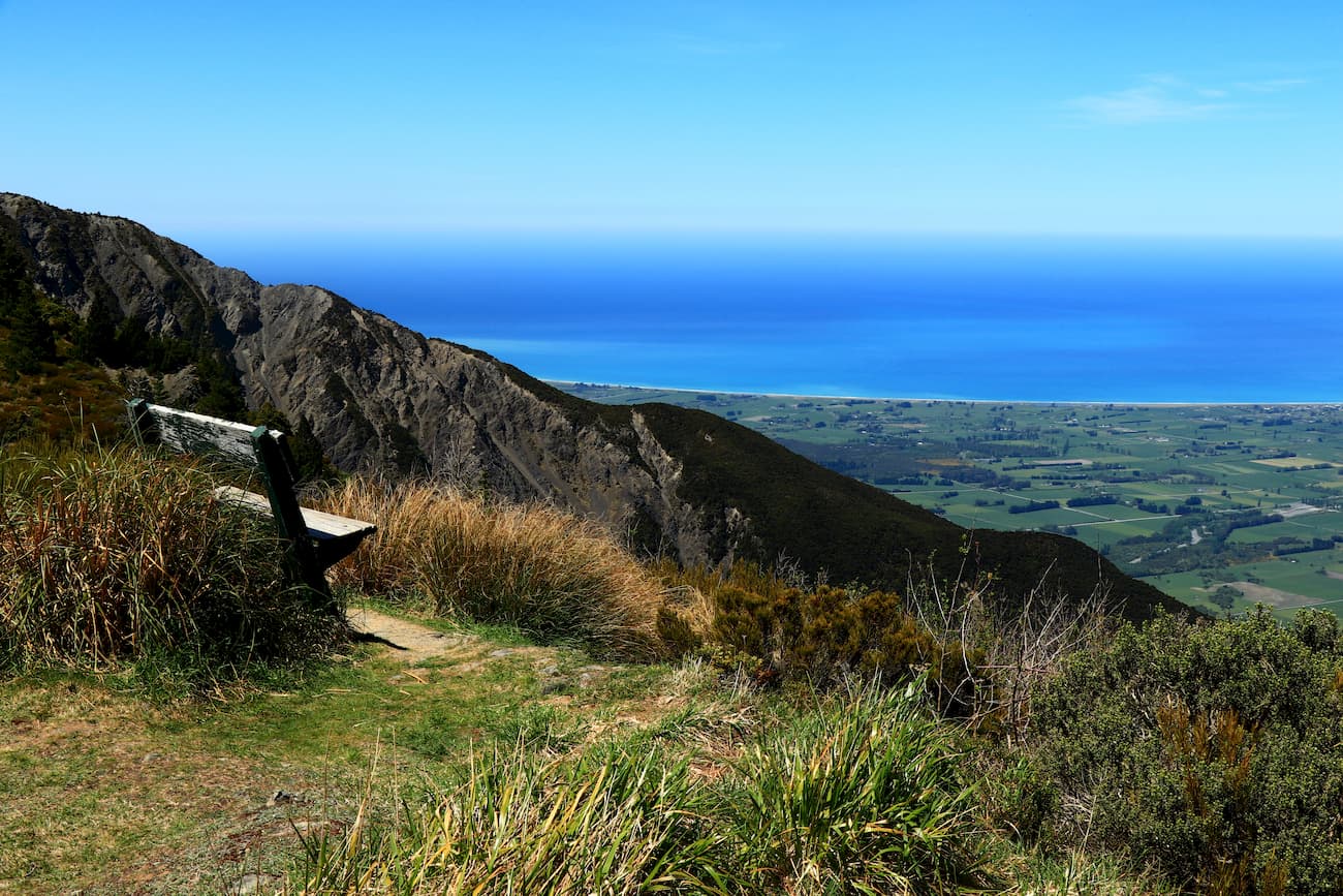
An 8-hour hike to the summit of Mt Fyffe (1,602 m), offers a staggering reward. The views from the top are spectacular, you can see the coast in the east, farmlands and the valley in the south, and mountain ranges in the west.
The trail is steep and hard, but some benches are found along the way closer to the many beautiful lookout points. The track also crosses a couple of rivers that can get dangerous after high snow melt or a recent torrential rain. Ensure you check the weather forecast before you set off. This hike is not for the inexperienced.
Kaikoura’s main industry is tourism, therefore it is not surprising that this beautiful town has accommodation to cover any needs, wants and budgets.
North Canterbury is widely known for its delicious wines, thermal pools (in Hanmer Springs), and wild nature.
Located in one of Canterbury’s most popular holiday towns, Hanmer Springs, this beautiful track is a walking and cycling paradise. This scenic walk is easy and manageable for everyone in the family, including the little ones. The walk will reveal beautiful large trees which shed comfortable shades and give you the cover you need in the hot summer while walking the track. You will enjoy listening to the merry chirping of many birds including the native ones such as the bellbird, fantail, tomtit, grey warbler, rifleman, tui, kereru, and among many others, New Zealand’s falcon.
Please note that this area is susceptible to extreme fire danger. If you see a red flag flying outside the information centre or a community hall, then please avoid the track.
Another fact to keep in mind when walking the track is the large wasp population between January and March. To avoid any discomfort, wear light coloured clothing and carry antihistamine cream / tablets as a precaution.
This 4-to-6-hour hike will begin in Glentui Bush Road, approximately 1 hour from Christchurch. The hard work climbing Mt Richardson summit (1,047m) will be rewarded by great views to the Pukketeraki Range and the Lees Valley.
Please note this is an alpine environment and weather conditions can change very quickly, thus ensure you keep warm clothes with you at all times even if you are hiking in the summer.
When doing the Hanmer Forest Park walk why not stay in Hanmer Springs and have a day soaking in the pools after enjoying a nice walk. Hanmer is one of the most popular towns with tourists in the Canterbury region, so it is not surprising you will have ample choices to accommodate your needs, wants and budget. The ASURE Hanmer Inn Motel is located within walking distance of cafes, restaurants and the thermal baths. The motel offers 1 or 2-bedroom units, with a kitchenette and beautiful views of the mountains.
If you opt for doing Mt Richardson track, you can either stay in Christchurch which is approximately a 1-hour drive roundtrip, or stay in Oxford which is approximately a 15-minute drive to the beginning of the track.
Christchurch is the biggest city in the South Island therefore choices for accomodation are virtually endless. If however, your desire is to stay in Oxford, the Oxford Village Motel offers a wide range of accommodation from studio to 2-bedroom apartments. The units are completed with coffee and tea-making facilities, a large flat TV with SKY amongst other amenities.
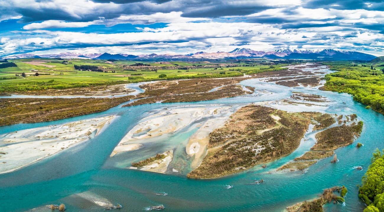
Mid Canterbury extends inland from the Pacific coast to the Southern Alps crossing the Canterbury Plains and the high country.
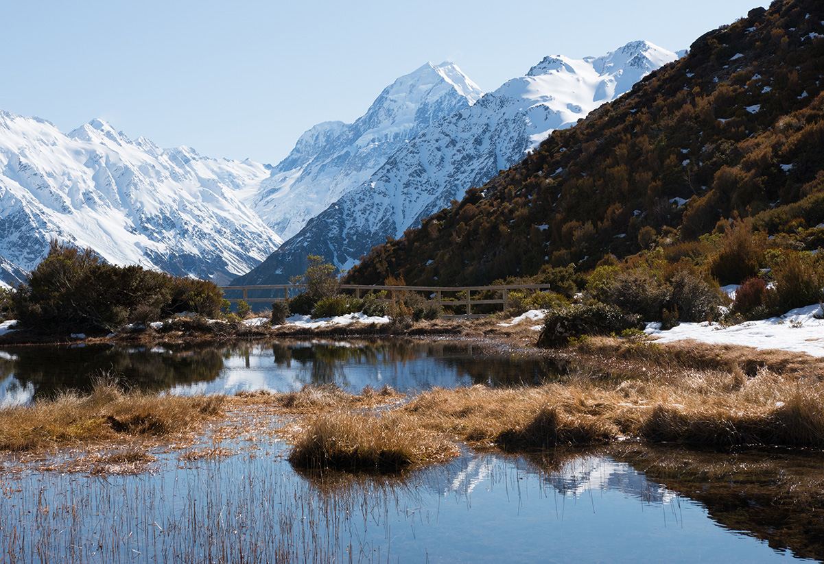
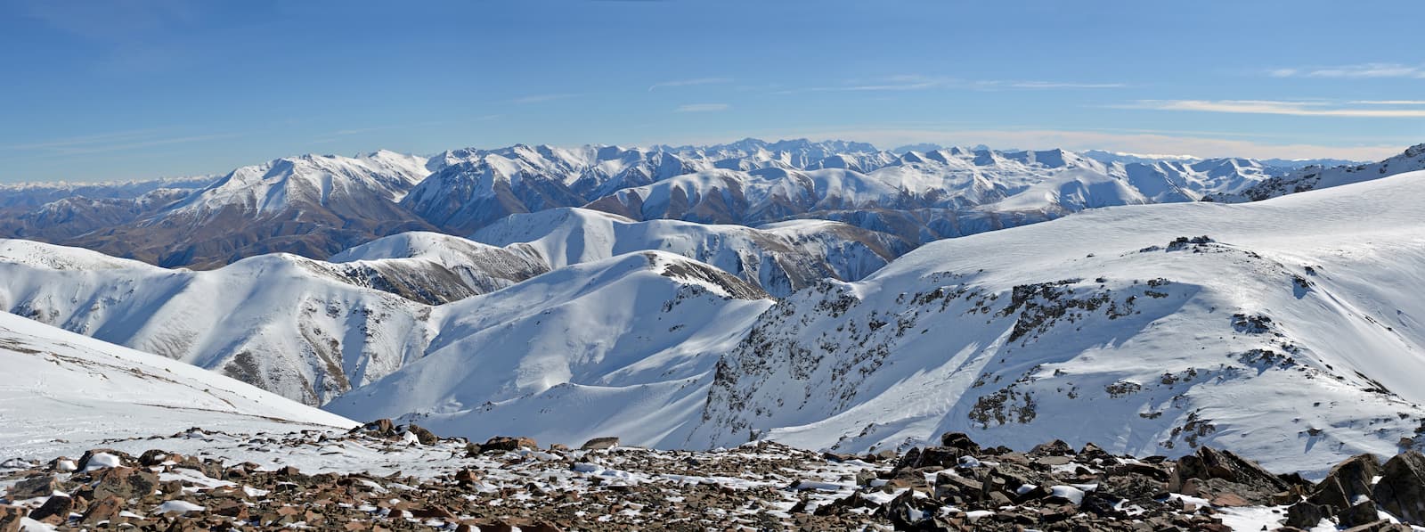
This walk is situated in the Mount Cook National Park, the 10th biggest national park in New Zealand. Its total area is 707 sq.km., it is the only other national park in Canterbury (the first being the Arthur’s Pass). With so much ground to cover and many high peaks, it is not surprising this area offers many walks and hikes that suit every fitness level.
Being a mother with young children, my favourite walk is the Tasman Glacier view. From here you can see the entire length of the Tasman Glacier Lake. You may even see small icebergs floating on the lake. It is an easy and short walk, approximately 40 minutes return loop. For me, the best part of this walk is the beautiful landscape with mountain ranges that extend as far as the eye can see. In this walk, you will also be treated to amazing alpine flora and fauna, including the beautiful and ever-chirpy rifleman, New Zealand’s smallest endemic bird.
If you decide to go a little further (1 hour return) go back to the junction and take the left track, this will take you to the Blue Lakes. This walk will offer you amazing landscapes and many singing riflemen.
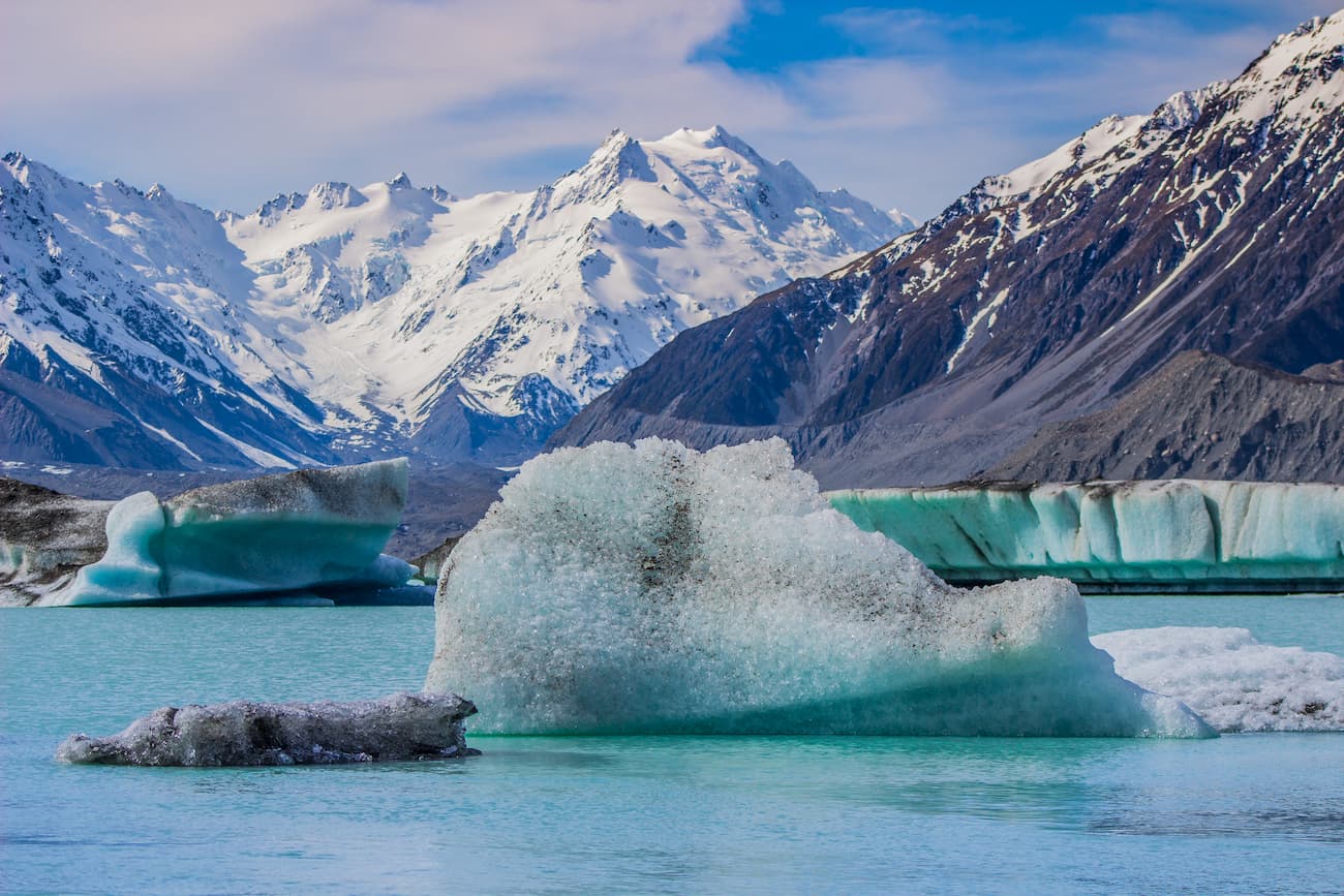
Please note the lakes are no longer blue, they are more of a green colour. Once upon a time, the lakes were fed by the meltwaters of the Tasman Glacier, which was apparently giving it a beautiful blue colour. However, the glacier has retreated and thus it is no longer feeding the lake. Instead, the warm rain feeding the lake has given rise to algal bloom, causing the lake to go green.
When doing this walk, please be aware that this region is quite mountainous and thus the weather can change in the nick of no time. Therefore, ensure you always have warm clothes with you even in the summer and check the weather updates before you start your walk. If it is due to rain, postpone the walk.
This walk is not suitable for buggies as it has steps and there are short parts where the terrain can get rugged.
This route is a delight to the eye. The flora varies from mountain beach forests below the bushline to alpine shrubs and snow tussocks above the bushline. To accompany you along this hard and difficult climb, there is a variety of forest birds including the bellbird, rifleman and grey warbler below the bushline, and above the bushline there lives the cheeky Kea. Please don’t feed this endemic bird as it gets easily hooked on human food and starts begging for it. The end is sad most times, Kea dies from this addiction.
Located in the Mt Hutt area, this 4-hour hike follows the stream bed and thus requires a thigh deep crossing of the Pudding Hill stream at various locations. Please ensure you are prepared for cold, wet or windy conditions any time of the year, and check the weather before you set off.
If the plan is to do the Blue Lakes and Tasman Glacier walk, Mount Cook village has some hotels / motels in offer. The best is Aoraki Court Motel located in the heart of the small village approximately 15 km (9.3 miles) from the summit of Mount Cook. This motel has spectacular views of Mt Sefton. The rooms are clean, spacious and comfortable. The motel has a well stocked shared kitchen but be aware Mount Cook national park does not have a supermarket and the only convenience store is expensive. So If you want to keep the cost down and cooking is part of your holiday itinerary, bring your own food. If however, cooking is not on your plan, don’t worry, the village has 3 or 4 restaurants, and they are all within walking distance from this wonderful motel.
If however the idea is to explore the Pudding Hill Route the Staveley Heights B&B will complete your experience in this part of the world. With very friendly, laid-back and knowledgeable owners your stay will not fall short of things to do. The B&B only has 4 rooms so you know your stay will not be cramped. The beds are comfortable, the rooms are tastefully decorated and the breakfast is to die for.
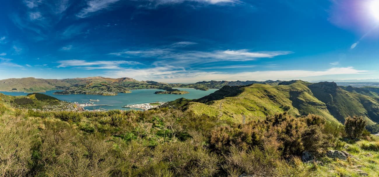
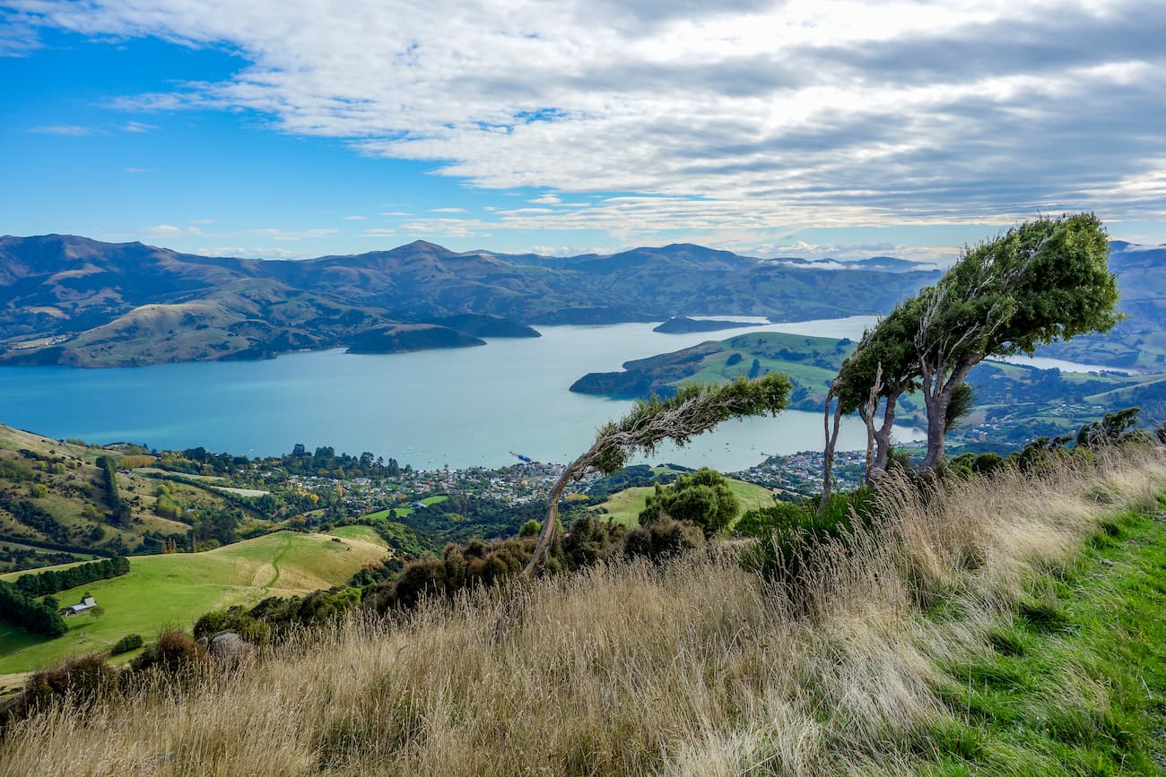
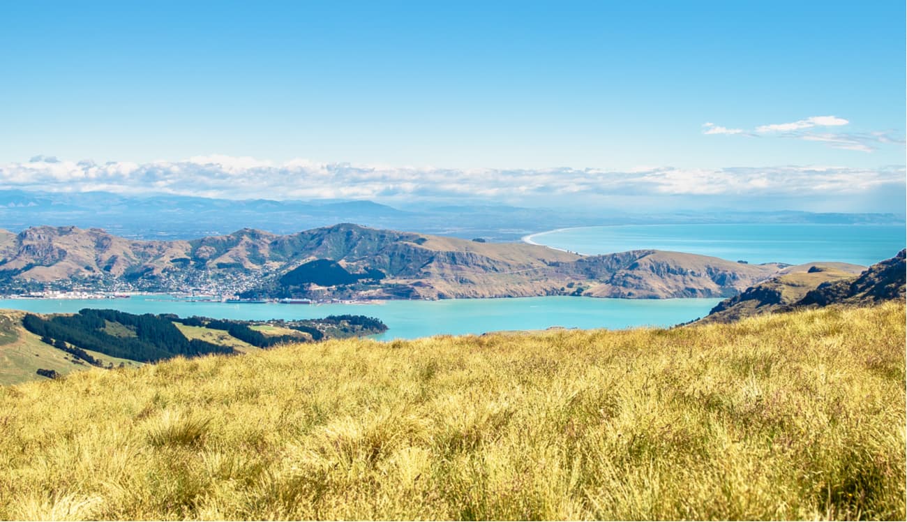
This popular track is located in the Port Hills and it is perfect for walkers of all fitness levels, runners and mountain bikers. At the top, you will enjoy fantastic views over the Lyttelton Harbour.
The track starts at the junction between Rapaki road and Centaurus Road in Christchurch and takes approximately 45 minutes one way.
This easy and gentle walk is just outside Christchurch, with only a 30-minute drive to the Gibraltar Rock car parks where you can start your 2 to 3-hour walk.
Coopers Knob (also called Omawete by the local tribes) is the highest point on the Port Hills at 573m high, and offers stunning views of the Canterbury plains and the Lyttelton Harbour.
This walk can be done by a range of ages and fitness. However, you will not be able to take a pram as the track is rough and only partly paved.
Christchurch was devastated by the 2010 and 2011 earthquake events destroying much of the city, especially the city centre and the eastern suburbs. However, 9 years on and the city is almost completely rebuilt offering many types of modern accommodation.
The Sudima Christchurch City hotel not only offers accommodation, free breakfast, spa and treatment services, laundry and dry-cleaning facilities, but it offers babysitting services as well. The hotel is located in Victoria Street, one of the most popular streets packed with restaurants and bars.
The South Canterbury landscape varies from alpine slopes across the glacier carved lakes Tekapo and Pukaki and high country basin of the Mackenzie Country, to undulating lowland hills and the Canterbury Plains.
If diversity is something you are looking for, this short (3 to 4 hours return) and easy walk will give you that.
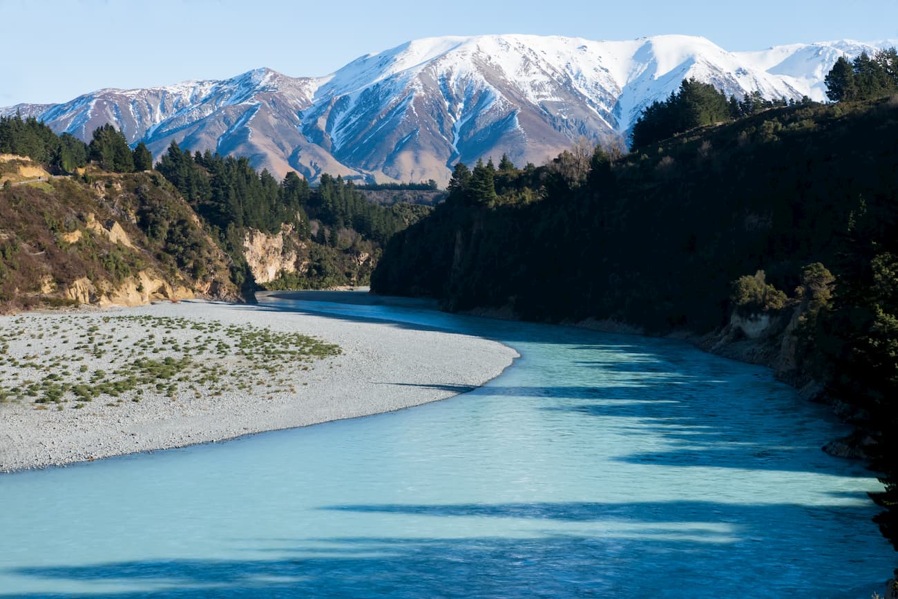
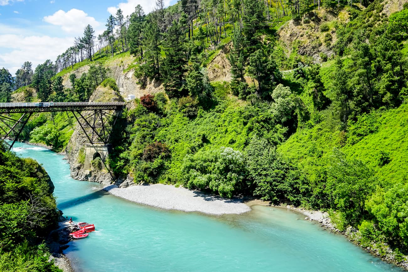
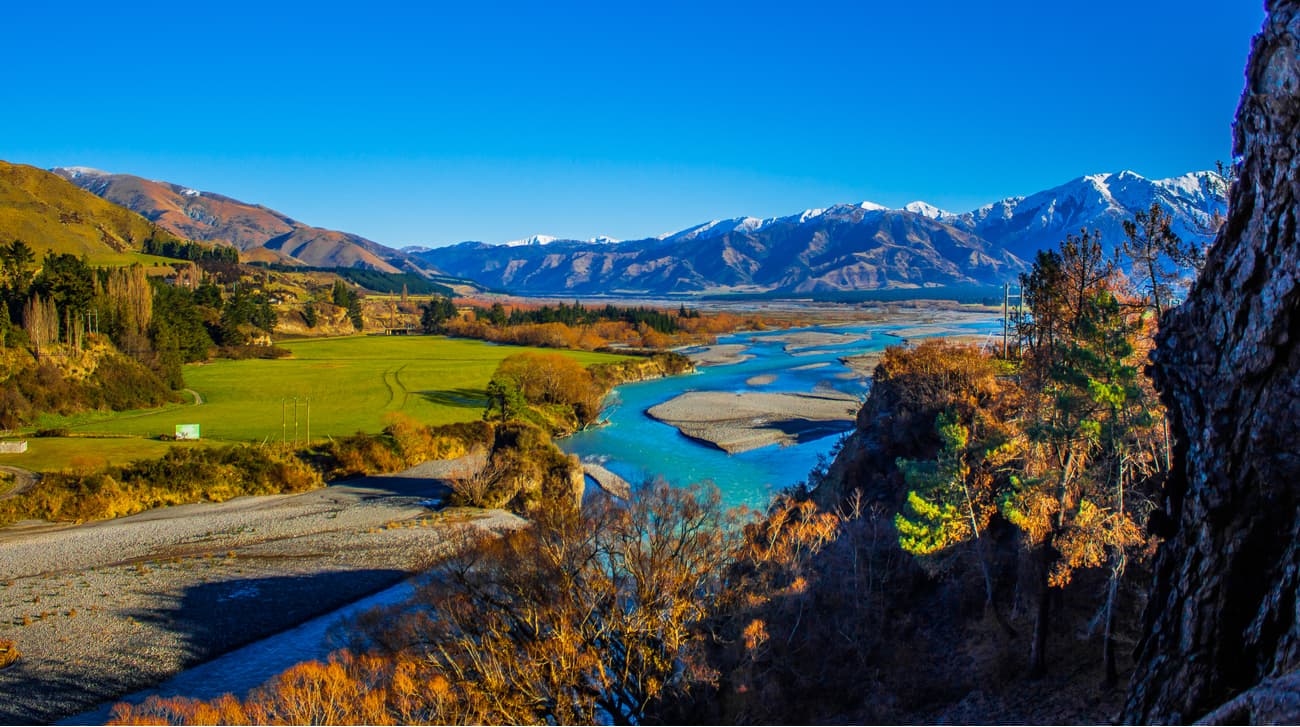
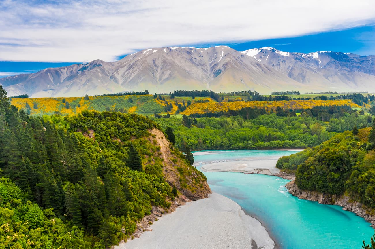
Nature lovers will surely develop a soft spot for the amazing views of snow-capped mountains, several forest and shrub communities, gently rolling hills of the countryside, blue waters of the Rakaia Gorge river, and spectacular geological areas exhibiting some former lava flows.
If that is not enough, you will also get to experience a little bit of New Zealand’s past with a view point to Snowdon coal mines (a mine site with three gated tunnels, and some mining relics), and a little bit of New Zealand’s present with tracks crossing working farms.
The cherry on the top is when you get to cross the Rakaia Gorge Bridge, there is a historic piece of New Zealand’s architecture that dates back to 1945.
I have done this walk with my eldest daughter (4 years old) and it was easy enough for her. For the most part, she could walk on her own. However, there are parts of the walk where you can get close to the cliff edge. At my daughter’s age, all I did was hold her hand. If you are doing the walk with younger kids, I would suggest you take a baby sling or a backpack.
In this walk, you will navigate some undulating ground the whole way through, therefore buggies and wheelchairs may not be suitable.
Please also note that the wasp populations can reach high numbers from January to March. If attempting the walk during this time, the Department of Conservation recommends wearing light coloured clothing and carrying antihistamine cream/tablets as a precaution.
Start this walk in the carpark of Blanswood, approximately 20 minutes from Geraldine.
This 4-to-7-hour hike has two routes to choose from depending on your mood and fitness level. The less challenging route and the one preferred by families is via Deer Spur. The steeper route used by more experienced trampers is the South Ridge route.
No matter what path you choose, they both take you to the peak of Mt Peel where you will see magnificent views of Mt Somers, Mt Hutt, the Canterbury plains and the coast.
It is about an hour-drive from Christchurch to the start of the Rakaia Gorge walkway. If however, you prefer to stay closer, the Mt Hutt area will cover your needs.
The Redwood Lodge is located within walking distance from Methven town, which in turn is located approximately a 15-minute drive to the start of the walkway. This lodge has a wide range of rooms, from single to family rooms, with private or shared bathrooms. The lodge also offers a cosy shared lounge with a logfire for those chilly winter days, a sun-filled courtyard to sit outside on hot summer days, a communal fully stocked kitchen with upgraded appliances, and a commercial size laundry.
When doing the Little Mt Peel track, you can either start from Christchurch with 1-hour drive to Blanswood and back, or you can stay at Geraldine, approximately 20 minutes drive to Blanswood.
The ASURE Scenic Motor Lodge, located right in the heart of Geraldine and next to the main shopping mall, will help you relax in style after a full day of adventure. The lodge offers modern, double-glazed self-contained accommodation units with kitchen facilities, SKY TV, heat pumps and WiFi. 3 of the units have hot tubs and 3 of the units have 2 bedrooms.
The Orton Bradley Park is approximately a 30-minute drive from Christchurch to the Charteris Bay. The road is accessible by any type of vehicle.
This park has over 20 km of walking tracks designed for all ages and fitness. For those seeking a gentle walk, try the Rhododendron walk, for those seeking a longer walk the Tablends track will take you up to the Packhorse Hut.
My favourite walk of all is the Waterfall Gully track. This track will take you through bushes up to the valley where you will encounter beautiful harbour views. If you carry on, you will come across two waterfalls. The first waterfall is not very open but still viewable, the second waterfall has better views and opens up to a nice little area where you can have a break, enjoy some food and a drink.
Please note that there is a small fee ($5 to $10 NZD) to access the park. While the Orton Bradley Park has a very small cafe, the tracks do not have any access to food or water so ensure you start your walks with plenty of snacks/lunch and drink.New Zealand’s weather can be variable even in the summer, so make sure you have warm layers to put on if required.
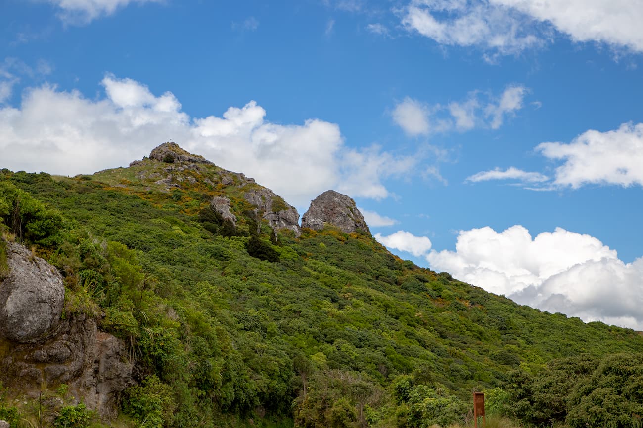
This 6-to-8-hour hike to the summit of Mt Herbert (920 m) starts from Diamond’s Harbour wharf. The hike demonstrates nice pine forests, regenerating bush and scrubby farmland. Halfway through the hike you will see a large and old eucalyptus tree, it is believed to have been planted by the early European settlers in the 1860s.
Mt Herbert is the highest peak on the Banks Peninsula. Dominated by tussocks and speargrass plants, the summit has spectacular views of the Port Hills to the west, Mt Thomas and Mt Grey to the north and the open ocean to the east.
This track is exposed to the elements and thus you should be prepared for all kinds of weather (heat, cold, wind and fog) any time of the year.
Do not drink from the stock water supplies as these may have some pathogens harmful to humans.
The water from the huts is rainwater, so ensure this is treated (boiled) before consumption.
You will be crossing active farms, so take care around the farming animals.
If attempting to do the hike between August to October, please check with the Lyttelton Harbour information centre (033289093) to ensure the track is not closed due to either fire risk or lambing season.
Once you have finished admiring the spectacular views of Mt Herbert, you can either return the way you came, continue left on the Port Levy Saddle to Rod Donals hut (approximately 3h20min walk from the summit), or exit right via the Orton Bradley Park and stay at the Packhorse hut along the way (approximately 3 hours from the summit). Both huts accommodate 9 people, have heating, lighting, mattresses, toilets and tap water (please boil water before consuming as this water is not treated specially). Please note these huts must be booked before you arrive.