Get PeakVisor App
Sign In
Search by GPS coordinates
- Latitude
- ° ' ''
- Longitude
- ° ' ''
- Units of Length

Yes
Cancel
❤ Wishlist ×
Choose
Delete
Assam is a state in Northeastern India located along the massive Brahmaputra River. When folks picture India, they imagine a country shaped like a top. Many people are unaware that India’s borders also include another region to the northeast, a fabled land of icy peaks and lowland rainforest. Assam is the second-largest state in this region, after Arunachal Pradesh. It’s famous for producing some of the world’s finest tea and is home to Kaziranga National Park, protecting subtropical biodiversity and endangered species like the one-horned rhinoceros. The regional culture is defined by a mix of indigenous traditions and influences from the longstanding Ahom Dynasty. Historically, the state has also faced challenges from seasonal flooding along the Brahmaputra, as well as earthquakes from the collision of the Indian and Eurasian tectonic plates. There are 26 named mountains in Assam; P. 1960 (1,968 m / 6,457 ft) is the highest point. The most prominent mountain is Khunbaman Parbat (1,357 m / 4,485 ft).
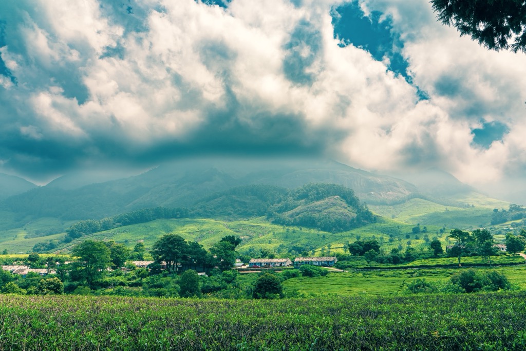
Fertile river valleys, rolling hills, forests, and the majestic Brahmaputra River characterize the geography of Assam. The Eastern Himalayas flank the state to the north, the Patkai Hills to the east, and the Shillong Plateau to the south. Assam includes a couple small ranges, such as the Mikir Hills and the Borail Range, though most of its territory is fertile agricultural land.
Assam is home to 31 million residents across 78,438 ㎢ (30,285 sq mi). Its population density of 397 people per ㎢ is just under the Indian average of 431. Guwahati, located along the Brahmaputra, is the largest city with around one million residents. Five of the six largest cities in the state are situated along the Brahmaputra.
Assam has many borders. Its international borders are Bhutan to the north and Bangladesh to the south. Its domestic borders with other states are Arunachal Pradesh to the north; Nagaland and Manipur to the east; Meghalaya, Tripura, and Mizoram to the south; and West Bengal to the west via the Siliguri Corridor, a thin strip of land that connects Northeast India to the rest of the country.
While the territory of Assam doesn’t include any significant mountains, it’s the envy of its neighbors, for it lays claim to much of the best agricultural land within thousands of kilometers.
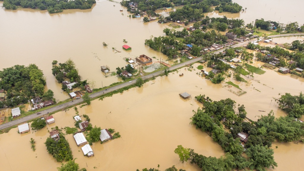
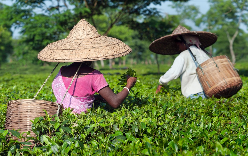
The Brahmaputra River, the world’s 9th largest, flows through the heart of Assam. Its vast floodplain creates fertile agricultural land that supports rice and tea cultivation. Much of Assam is an idyllic patchwork of farms, plantations, and remnant forest. The Brahmaputra Valley is prone to frequent flooding during the summer monsoon season when heavy rains interact with a melting Himalayan snowpack. Not to be forgotten is the smaller Barak Valley to the south, which includes the districts of Cachar, Karimganj, and Hailakandi and is equally fertile.
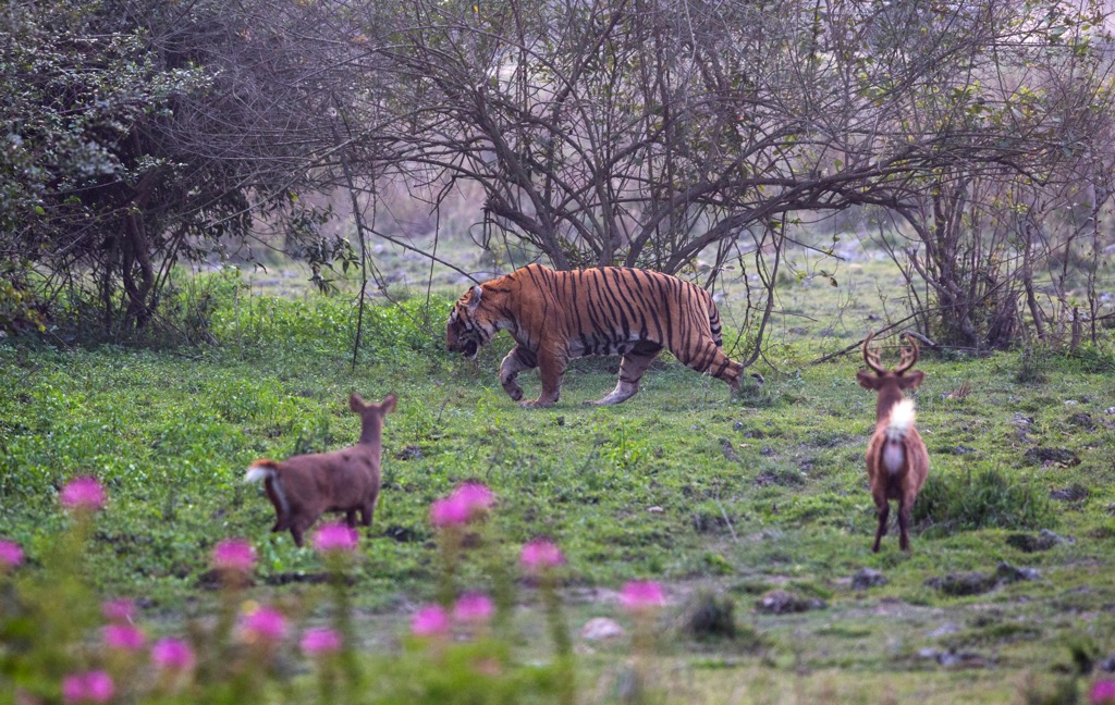
Assam is incredibly biodiverse, with tropical and subtropical forests once covering much of the state. Although it’s populous, some of these forests remain, particularly in protected national parks and the Mikir Hills.
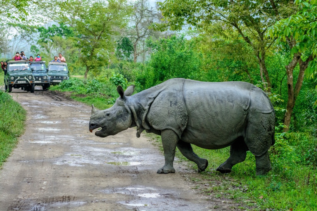
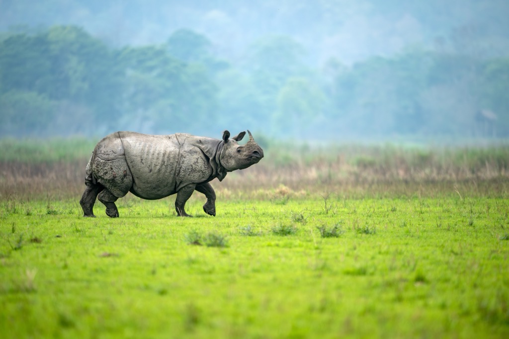
The most famous is Kaziranga National Park, home to the world’s largest population of one-horned rhinoceros. Manas National Park is also home to many charismatic endangered species, including the Bengal tiger, pygmy hog, golden langur, and Indian elephant. Both parks are UNESCO World Heritage sites. Other national parks include the Nameri, Orang, and Dibru-Saikhowa, with ecosystems ranging from grasslands and riverine forests to floodplain wetlands.
Assam, like many parts of India, is ethnically diverse. Its separatist movement gained prominence in the late 20th century with groups like the United Liberation Front of Asom (ULFA), which was founded in 1979 with the goal of establishing an independent Assam. Ultimately, the movement had its roots in complex socio-political and ethnic issues, with grievances over identity, resource control, and migration.
ULFA's demands were fueled by concerns over perceived neglect by the central government, the exploitation of Assam’s natural resources, and the influx of migrants, particularly from Bangladesh. Over the years, ULFA and other insurgent groups resorted to violence.
The movement has largely splintered in the past 20 years after the ULFA devolved into a glorified organized crime outfit. In 2024, Assam is fairly safe for both domestic and international tourists.
Assam lies primarily in the Assam Basin, a sedimentary basin formed by the deposition of sediments from the highlands. Assam is dominated by the vast Brahmaputra River Valley, where thick alluvial deposits from the Himalayas have accumulated over millions of years.
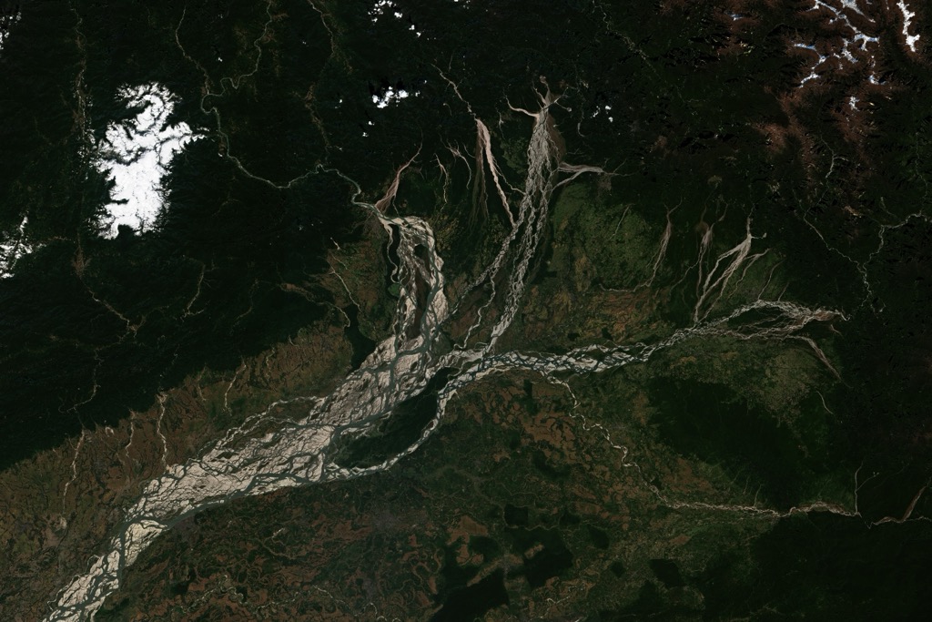
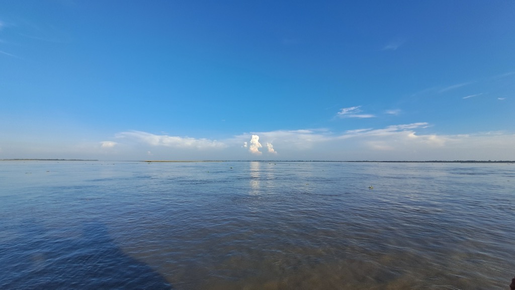
The Brahmaputra is the 9th largest river in the world by discharge; it transports tremendous amounts of sediment, forming the fertile floodplains vital for Assam’s famous tea cultivation. It reaches its massive discharge level due to the subtropical lowlands' incredible rainfall and the Himalayas' snowpack. The Brahmaputra is a braided river with several channels, often about 10 - 15 km (6 - 9.5 miles) wide.
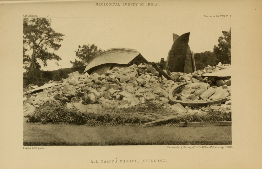
Because the Indian plate is colliding with the Eurasian plate, Assam is host to many earthquakes, some of which are extraordinarily powerful. There are several noticeable earthquakes each year (over magnitude 1.5).
The most powerful - and deadliest - on record is the 1950 Assam–Tibet earthquake, which killed almost 5,000 people and featured a magnitude of 8.6. It’s the largest collision quake ever recorded. The earthquake reportedly produced an incredible soundtrack of cracking sounds from deep within the earth over the course of several minutes.
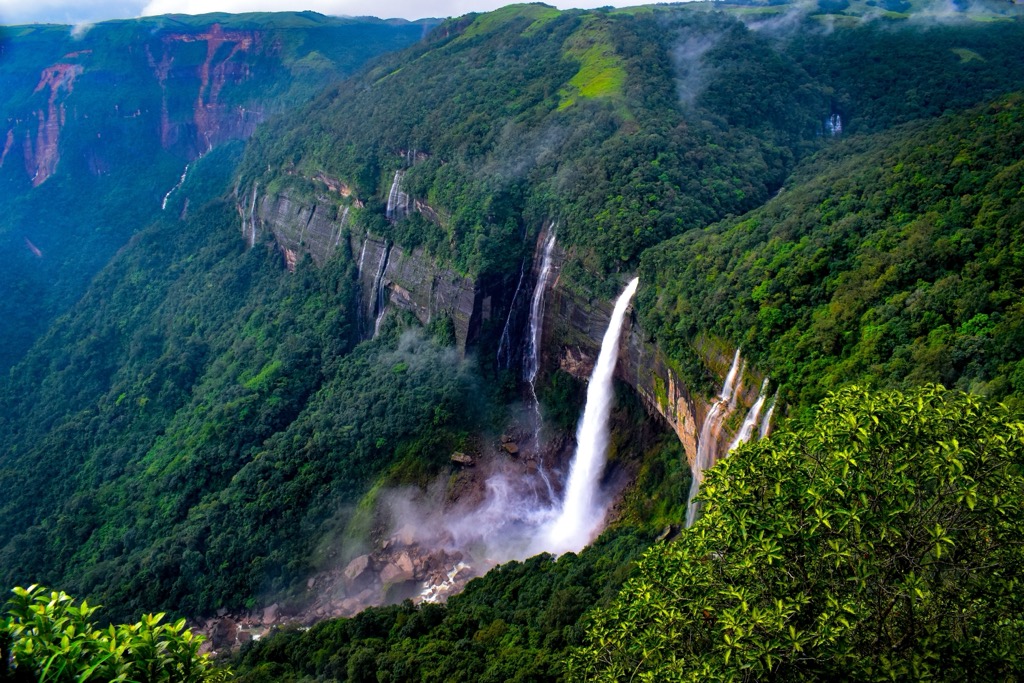
To the south of Assam lies the Shillong Plateau, a stable block of ancient Precambrian rocks that form a small mountain range (the peak of Shillong reaches almost 2,000 m). The Shillong Plateau is mainly within the state of Meghalaya but extends into southern Assam as well. It comprises granites, gneisses, and schists and has some of Assam's oldest rocks, dating back over a billion years.
Assam also has oil and gas reserves, primarily in the Upper Assam Basin. The Digboi Oil Field, discovered in the late 19th century, is one of Asia’s oldest oil fields and was a harbinger of India's petroleum industry. The reserves are associated with sandstone and shale formations from the Tertiary period.
The ecology of Assam is a dichotomy. On the one hand, vast swaths of the river plain have been converted to agriculture, leaving little if any native forest and grassland. Conversely, the ecosystems around Kaziranga National Park and the Mikir Hills (Karbi Anglong) are intact. Forests also remain across the rolling hills that separate the Brahmaputra River Valley from the Barak Valley to the south. The terrain around Assam, such as the nation of Bhutan and the other Indian states of Arunachal Pradesh, Nagaland, Manipur, and Meghalaya, is far more mountainous and less suited for agriculture and, therefore, less developed.
Assam experiences a humid subtropical climate with hot summers and mild winters. The state receives heavy rainfall during the monsoon season (June to September), contributing to its lushness but also flooding low-lying areas along the Brahmaputra.
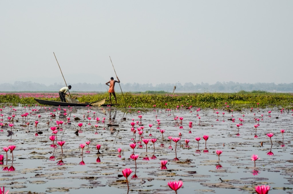
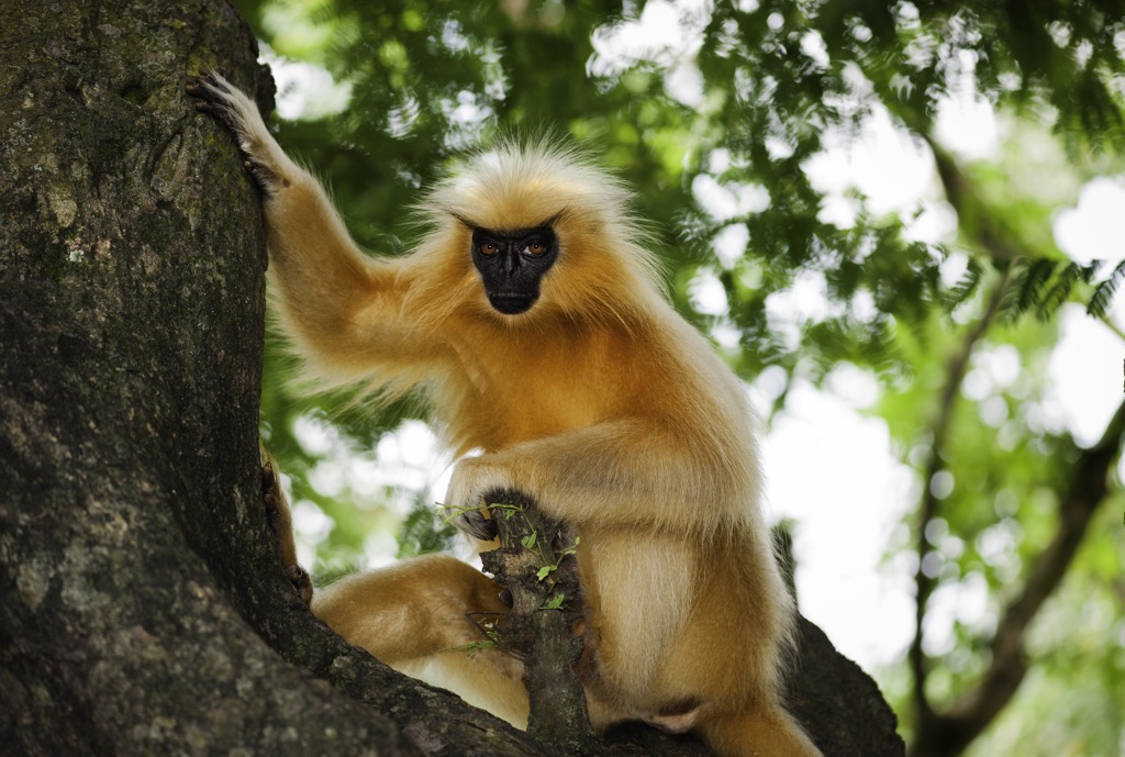
The remaining wildlands of Assam are part of the Eastern Himalayan biodiversity hotspot and are home to tropical rainforests, wetlands, grasslands, and riverine ecosystems. Overall, the hotspot is home to 10,000 species of plants, of which 3,160 are endemic. The largest family of flowering plants in the hotspot is the Orchidaceae, with 750 species (check out the Kaziranga Orchid Park to learn more about these flowering plants). Regarding fauna, Assam has over 800 species of birds, 190 species of mammals, 160 species of reptiles, and numerous species of amphibians and fish. Endangered species include the greater one-horned rhinoceros, Bengal tiger, pygmy hog, golden langur, and Indian elephant.
The Brahmaputra River and its tributaries create vast floodplains and wetlands. Although much of this region is under pressure from urbanization and agriculture, the remaining wetland habitat includes areas like Deepor Beel and the Majuli River Island. In addition to habitat, wetlands are also vital for flood control and maintaining water tables.
Assam’s grasslands, particularly in and around Kaziranga and Manas, host numerous species of birds and mammals. Kaziranga is a mix of wetland, tropical moist broadleaf forest, and grassland; the grasslands primarily comprise Elephant grass and support large herbivores such as elephants, rhinos, and wild buffalo. They’re also convenient for wildlife viewing, as spotting animals in the grass is easier than in dense tropical forests.
Like many parts of India, Assam is ethnically diverse and has a long and storied history. The earliest traces of human settlement in Assam date back to the prehistoric period, though archeologists disagree on the specifics. Some propose that populations had been established on the Indian subcontinent before the catastrophic Toba eruption 79,000 years ago, while others believe that humans only arrived in subsequent migrations.
Either way, by the early Iron Age, Assam was home to various indigenous tribes, including the Bodos, considered one of the region's oldest inhabitants. While the earliest inhabitants were hunter-gatherers, these tribal communities practiced agriculture as well as hunting and gathering.
By the early historic period, Assam had become part of the larger Indian civilization. The Varmana dynasty (4th–7th centuries CE) is Assam's earliest recorded ruling dynasty, with its capital at Pragjyotishpur (present-day Guwahati). The region's rich resources, especially its fertile soil, made it a hub for trade routes connecting India to Southeast Asia. The Kamrup Kingdom also became a center of Hinduism and early Buddhism.
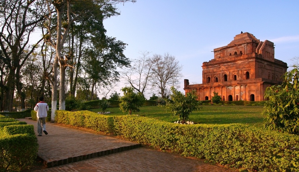
In the medieval period, Assam's history was dominated by the rise of the Ahom Kingdom in the early 13th century. The Ahoms, originally from present-day Myanmar, migrated to Assam and established their rule. They gradually expanded their territory and developed a powerful and lasting empire. Notably, the Ahom resisted repeated invasions by the Mughals and ultimately outlasted their vast and powerful empire by several centuries.

Under Ahom rule, Assam developed a political and cultural identity. The Ahoms introduced new administrative systems, rice cultivation techniques, and metalworking skills while fostering the Assamese language and script. The Ahom dynasty ruled Assam for over six centuries until British colonialism in the 19th century.
British rule in Assam began after the defeat of the Burmese in the First Anglo-Burmese War (1824–1826). The British developed tea cultivation on a large scale; tea plantations also led to the influx of laborers from other parts of India, changing Assam’s demographics. While British rule brought modernization in the form of roads, railways, and schools, it also triggered ethnic tensions.
Post-independence, Assam became a part of India in 1947, but the region faced challenges. The state’s ethnic diversity, combined with economic disparities and political marginalization, led to demands for autonomy. Understandably, Assam’s people had developed a deep-rooted pride in their region’s historical independence and culture. From the late 70s to the early 00s, groups like the United Liberation Front of Asom sought an independent Assam. Over time, the ULFA became synonymous with cronyism, organized crime, and senseless violence, ultimately losing support among the Assamese people.

In the present day, Assam remains a special nook in the fabric of India. The state is quite populated (31 million residents) but only has six urban areas with over 100,000 people. Most of the population lives in towns and villages, with agriculture being the chief industry. Many sources suggest that the ULFA and similar organizations bear responsibility for suppressing the economy during the last several decades.
The state’s national parks are considered a conservation success story, although recent headlines have exposed a culture of killing poachers. It’s also been said that the ULFA would shoot and kill poachers. Like all issues, poaching is complicated, and although some criminals have been apprehended and killed, there are claims that local tribal people have borne a large share of the damage as well.
With this article being one of our province-wide pieces, we’re covering the whole of Assam. It’s a pretty big state with much green space. Here’s a few of the hiking areas to consider, but know that there are plenty more!
Hill stations are high-altitude towns, mainly built by the British Raj. They are designed for recreation and as refuges from the heat of India’s summer. Haflong is hill station in the Dima Hasao District of Assam, the only one in the state. It’s about 350 km (200 miles) south of Guwahati, in the Borail range, which separates the Brahmaputra River Valley from the Barak River Valley.
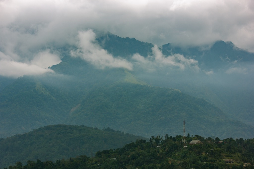
Haflong is higher and drier than most of Assam; it’s a land of rolling mountains, pine trees, and small lakes. You can hike all year round, but the best months are October to May, avoiding the humid and rainy summer monsoon.
Haflong Lake sits at the heart of Haflong. It’s a chance to take a stroll around the town and admire the extraordinary lushness of the surrounding hills.
The Haflong Hill Trek is one of the most popular hikes. It’s relatively easy and is suitable for beginner hikers. The hike passes through rural villages and offers a peak at the Dimasa, a Tibeto-Burman tribe who have been situated up in the hills for close to 1,000 years.
For the adventurous, the Borail Range offers a more challenging trekking experience. The Borail Range is rich in biodiversity, especially birds. The trek passes Tumjang Peak (1,866 m / 6,122 ft), the range’s highest summit.
Several villages offer additional hiking opportunities within an hour or two of Haflong, like Maibong and Jatinga.
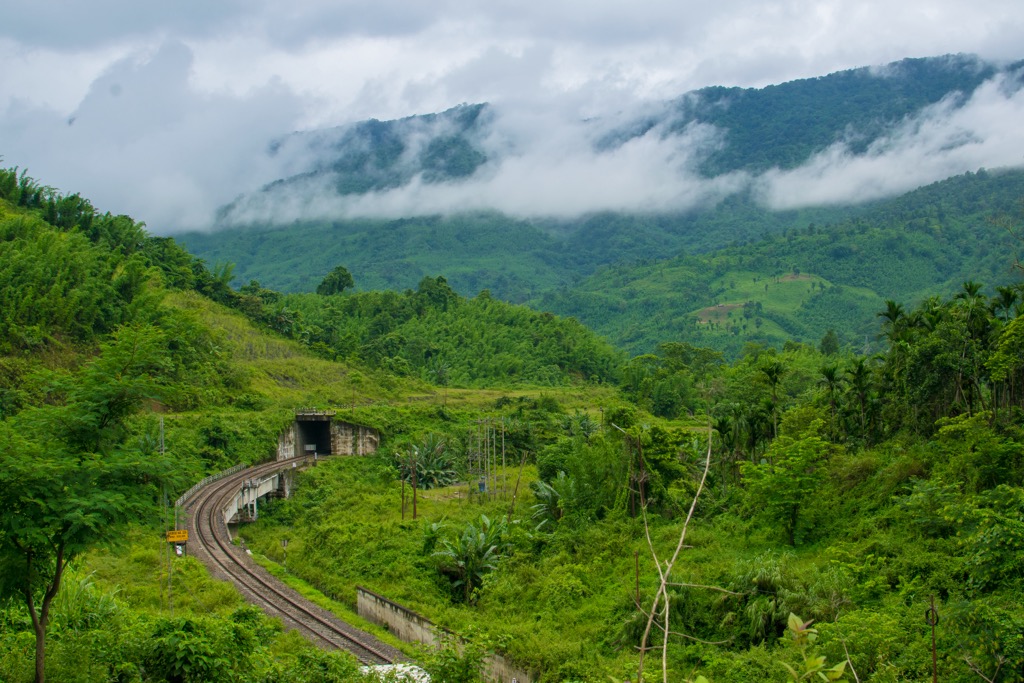
If you travel to Assam, you’ll most likely head through Guwahati, especially arriving by air (it’s home to India’s 15th busiest airport and the hub for travel to Northeast India). If you’re of able body, make the most of your visit by traversing the sites on foot.
The Kamakhya Temple on Nilachal Hill is one of the most important pilgrimage sites in India. While most people visit the temple by road, there is a short, scenic hike up the hill that offers views of Guwahati and the Brahmaputra River. Additionally—or alternatively—you can hike to the Bhubaneswari Temple at the top of the hill. It offers a less crowded path compared to the Kamakhya Temple trek.
Umananda Island, also known as Peacock Island, is a small river island in the middle of the Brahmaputra and is home to the Umananda Temple. A short ferry ride from Guwahati takes you to the island, where you can hike up a small hill to visit the temple.
For the go-getters amongst you, it’s possible to trek from Guwahati to Schillong, a 103 km (64 miles) journey from the Brahmaputra, through farm country, and ultimately up to the mountains. It’s a multi-day adventure so you’ll have to plan for accommodation and food along the way.
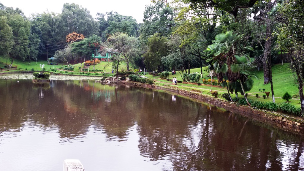
Majuli Island is located on the Brahmaputra River and is the world’s largest river island. Like much of the agrarian country of Assam, it’s best to explore Majuli by walking through its villages, open fields, and along the banks of the Brahmaputra. The island is relatively flat so it’s an easy destination for long but casual hikes.
Walking around Majuli, you’ll inevitably pass through many small rural villages. Much of the architecture is traditional houses on stilts and woven bamboo structures. Majuli is also home to Vaishnavite monasteries known as Sattras.
Majuli is surrounded by wetlands and is an excellent destination for birdwatching, especially during the winter months when migratory birds flock to the island.
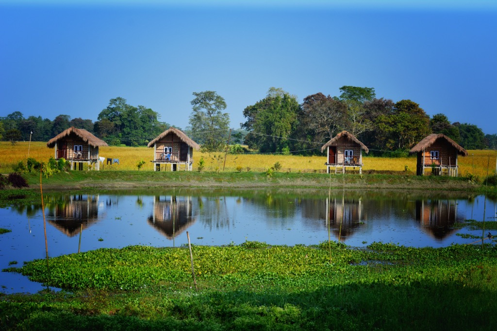
While Kaziranga National Park is best known for its jeep safaris, the park also offers guided hikes, mostly in the Burapahar Range, located on the park’s western side. The walks take you through rainforests, fields of towering elephant grass, and along riverbanks. An armed and trained guide will accompany you to ensure safety and to help identify wildlife and plants. There are also some self-guided hikes in the park’s buffer zone. Take a look at the official website for more details.
Guwahati is the largest city in Assam. It’s the gateway to Northeast India, nestled on the southern banks of the Brahmaputra River. The city is home to the famous Kamakhya Temple, one of the most important Hindu pilgrimage sites. Like everywhere in Assam, the city is also proximate to lush green hills, wildlife sanctuaries, and the river. On the flip side, Guwahati is likely to have more of a touristy vibe than many of the more rural villages across the countryside.
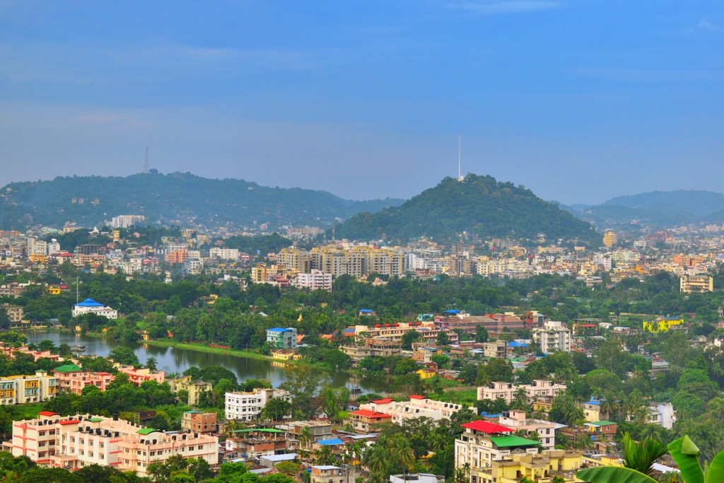
Sivasagar, located in Assam, is a historic town known for its rich cultural heritage and significance as the former capital of the Ahom Kingdom, which ruled Assam for over 600 years. The town is famous for its monuments, including the Rang Ghar amphitheater, and the Talatal Ghar, a palace with underground passages.
In Assam, tanks refer to hand-dug pits to store water without damming a river. The Sivasagar Tank (50 hectares / 20 meters depth) is the second-largest in Assam, and the temples surrounding it, like the Shiva Dol, are major landmarks.
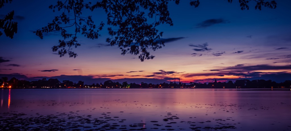
Jorhat is known for its tea plantations, and is home to research institutions like the Tocklai Tea Research Institute. It’s also the gateway to Majuli, the world's largest river island. Jorhat played a key role during the Ahom Kingdom and is recognized for preserving Assam's Vaishnavite traditions through its numerous sattras (monasteries).
Explore Assam Mountains with the PeakVisor 3D Map and identify its summits.


