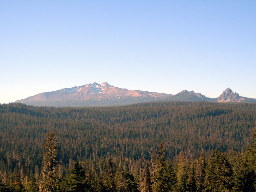
Diamond Peak is a shield volcano in southwest Oregon and is part of the Cascade Range. The mountain is located near Willamette Pass in the Diamond Peak Wilderness within the Willamette National Forest.
Composed of 15 cubic kilometres (3.6 cu mi) of basaltic andesite, the volcano is older than the last ice age but probably younger than 100,000 years. It first began erupting from its northern summit and then from a new vent a little to the south, which is now the primary peak. The mountain has several cirques from glacial erosion. It lies directly on the Cascade Crest and therefore receives a heavy snow pack. Snow fields on the northern side may have been glaciers as recently as 100 years ago.
We use GPS information embedded into the photo when it is available.
3D mountains overlay
Adjust mountain panorama to perfectly match your photos because recorded by camera photo position might be imprecise.
Move tool
Rotate tool
Zoom
More customization
Choose which peak labels should make into the final photo and what photo title should be.
Next
Photo Location
Satellitte
Flat map
Relief map
Latitude
Longitude
Altitude
OR
Latitude
°'''
Longitude
°'''
Apply
Register Peak
Peak Name
Latitude
Longitude
Altitude
Register
Teleport
PeakVisor
This 3D model of Sagarmatha National Park in Nepal was made using the PeakVisor app topographic data. The mobile app features higher precision models worldwide, more topographic details, and works offline. Download PeakVisor maps today.
Download OBJ model
PeakVisor
The download should start shortly. If you find it useful please consider supporting the PeakVisor app.
PeakVisor for iOS and Android
Be a superhero of outdoor navigation with state-of-the-art 3D maps and mountain identification in the palm of your hand!