
Scan the QR code and open PeakVisor on your phone
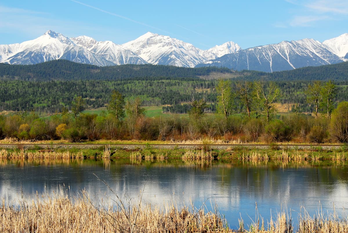
Located in the Park Ranges of the Canadian Rockies, the Vermilion Range lies east of the Sawback Range and west of the Bare and Pallister Ranges along the southeastern border of British Columbia and southwestern border of Alberta, Canada.
The western portion of the Vermilion Range lies in Kootenay National Park, one of seven contiguous parks that form the Canadian Rocky Mountain Parks World Heritage Site. The park is centered around the Banff-Windermere Highway, a scenic stretch of highway that offers spectacular views of several Vermilion summits, including 9,177-foot Mount Wardle and 10,000-foot Hewitt Peak.
Situated along the western border of Kootenay National Park, Foster Peak, the tallest in the Vermilion Range, towers to over 10,500 feet. Foster Peak and nearby Floe Peak make up what is known as the Rockwall, a remarkable set of imposing, serrated summits that rise over Floe Lake. Backpackers regularly make the 34-mile trek to the Rockwall to walk beneath these limestone cliffs and soak in the majestic views of nearby glaciers and wildflower-filled meadows.
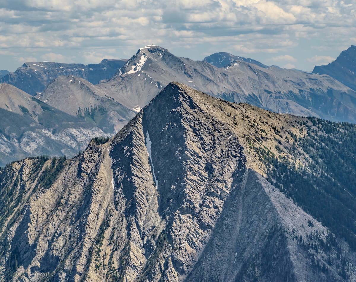
Vermilion summits are composed mostly of quartzites and limestones of Precambrian and early Paleozoic ages. Summits along the Continental Divide and within the Vermillion Range feature extensive snowfields and cliff glaciers, as well as pyramidal peaks and knife-edged ridges. Remarkably, the Banff-Windermere Highway allows even the most novice hikers and general tourists to experience the grandeur of the Vermilions.
The Kootenay Rockwall Trail is arguably one of the most beautiful trails in the Canadian Cascades. This multi-day adventure begins and ends along Highway 93, making it easily accessible. In addition to experiencing plenty of majestic alpine scenery, hikers will traverse over three high alpine passes that boast sweeping views of hanging glaciers, wildflower meadows, larch forests, alpine lakes, and one of the tallest waterfalls in the Canadian Rockies.
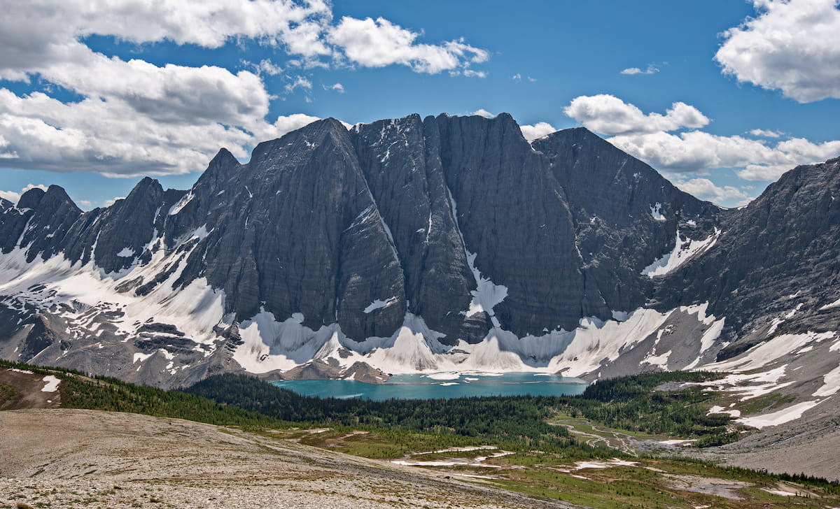
Hikers that don’t have time to hike the entire Kootenay Rockwall Trail will often opt to make the trek to one of the trail’s most iconic alpine lakes - Floe Lake. The 6.5-mile Floe Lake trail climbs 2,350 feet in elevation and serves as an excellent basecamp for exploring Numa Pass. Floe Lake is an isolated glacial lake that sits beneath a series of towering granite cliffs including Floe Peak and Foster Peak.
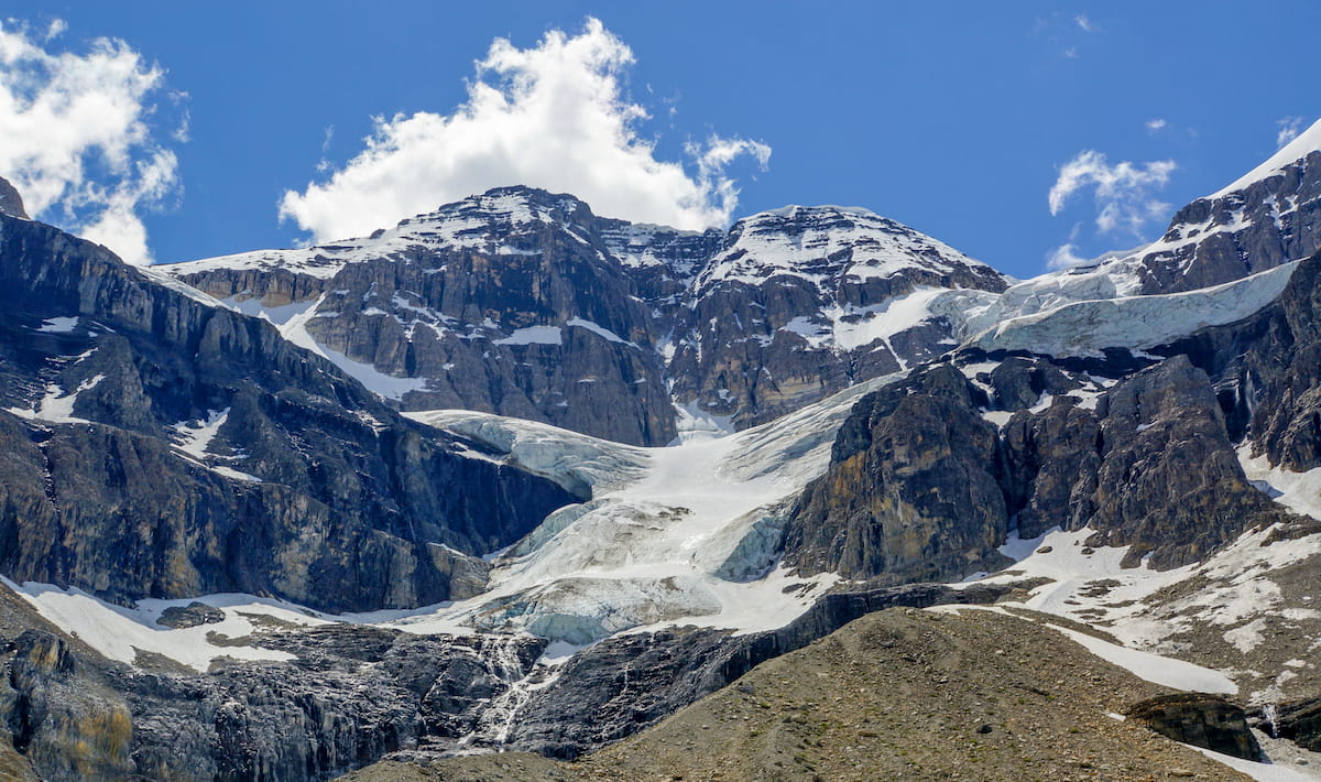
The Stanley Glacier trail gently climbs for just over 5 miles to panoramic views of Stanley Glacier. Though the first half of the hike leads through a large burn area, the second part of this trek follows the creek to Stanley basin where hikers can overlook the spectacular cliffside of Stanley Peak and the Stanley Glacier. Adventurous hikers can also opt to continue beyond the end of the maintained trail to explore several caves beneath Stanley Peak.
This incredible 10+ mile hike travels from wildflower-filled meadows to sprawling vistas of Canadian Rock summits including Mount Harkins, Split Peak, and Lunette Peak. The Kindersley-Sinclair loop is considered a full-day, strenuous adventure. However, those willing to put in the effort will be rewarded with what Parks Canada considers to be Kootenay’s most rewarding trail.
Constructed in 1923 by the Canadian Pacific Railway, the Kootenay Park Lodge is one of the many wilderness lodges in the region that was constructed to inspire people to travel to the Canadian Rockies. The original cabins were built in the 1930s and have remained the only development tucked within Kootenay National Park. Despite the cabins receiving much-needed upgrades over the years, they still retain their rustic charm.
Located on Highway 93, the Storm Mountain Lodge is a charming collection of historical cabins that were constructed in 1922 by the Canadian Pacific Railway. Like the Kootenay Park Lodge, the Storm Mountain Lodge was built to promote tourism in the Rocky Mountains. The original lodge and six unique bungalows are still enjoyed by guests today.
The village of Radium Hot Springs is a tiny townsite named after the nearby Radium Hot Springs in Kootenay National Park. Radium Hot Springs sits at the southwestern entrance of Kootenay National Park and offers a number of popular accommodations like the Bighorn Meadows Resort, Nipika Mountain Resort, and Rocky Mountain Springs Lodge. In the winter months, visitors can take advantage of Sled Radium or Ski, Stay & Soak to explore epic mountain sledding, ski touring, and soak in the infamous Radium Hot Springs.
The vibrant town of Banff lies just northeast of Kootenay National Park, offering visitors a variety of restaurants, shops, hotels, and resorts to choose from. Visitors can pass the time by visiting a variety of cultural landmarks, museums, art galleries, and historic sites, or venture into several nearby National Parks. The lively streets of downtown Banff are peppered with restaurants, shopping, and mountain-town charm.

Nicknamed the “Castle in the Rockies,” the world-famous, historic Fairmont Banff Springs Hotel, offers year-round resort amenities and unparalleled skiing opportunities. However, there are plenty of other popular resorts and other accommodations in and around the town of Banff. Not to mention, Banff is home to three world-class ski resorts – Banff Sunshine, Lake Louise, and Norquay, which cumulatively boast over 8,000 acres of accessible terrain.


