Scan the QR code and open PeakVisor on your phone
The Fraser Plateau, a subdivision of the Interior Plateau, occupies a large part of central interior British Columbia. Distinct from the drier ‘interior’ to the south and southeast and the cooler interior forests to the north, the Fraser Plateau encompasses the Cariboo Plateau and Chilcotin Plateau.
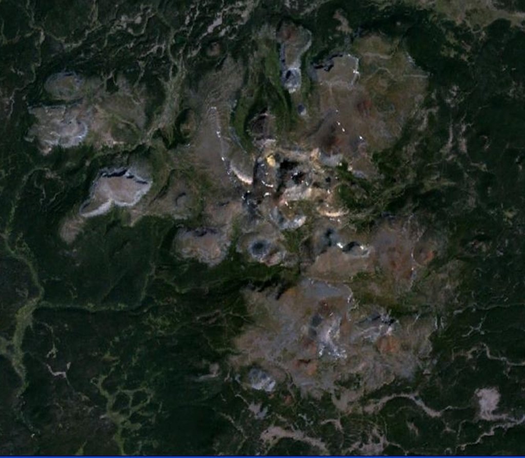
The Itcha, Rainbow, and Ilgachuz Ranges are located within the Chilcotin Plateau of the Fraser Plateau. These ranges are all non-traditional, volcanic mountain ranges that represent million-year-old shield volcanoes.
The Rainbow Range, which gets its name from the intense and varied colors of its volcanic terrain, represents a massive peralkaline shield volcano that has been eroded by glaciers over millions of years. Anahim Peak, the only real volcanic peak associated with the Rainbow Range, rises from the Chilcotin Plateau, between the Rainbow Range and the Ilgachuz Range. Other eroded remnants of the shield include Mount MacKenzie and Tsitsutl Peak.
The Itcha and Ilgachuz Ranges also represent shield volcanoes that formed 5 to 2.5 million years ago. The Itcha and Ilgachuz Ranges encompass noteworthy summits like Mount Downtown, Itcha Mountain, and Far Mountain and are also protected by a large provincial park, Itcha Ilgachuz Provincial Park.
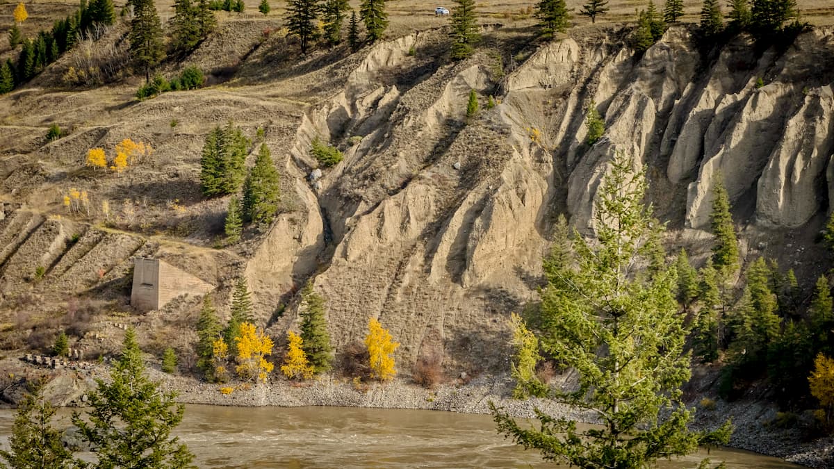
The southwestern edge of the Fraser Plateau also contains the adjoining Marble, Clear, and Camelsfoot Ranges. The Marble Range is a small mountain range that is considered a subunit of the Fraser Plateau. The Marble Range is notable for its series of folded limestone ridges and castellated peaks, including Wild Horse Ridge and Lime Ridge.
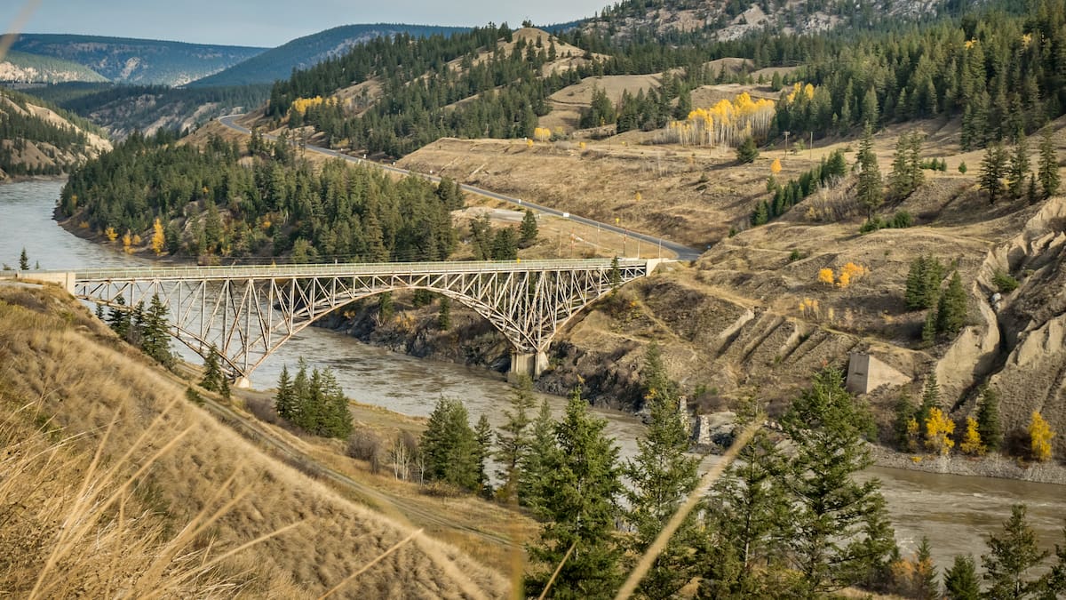
Nearby, the Clear Range, another small mountain range, sits in the angle of the Fraser and Thompson Rivers. The outer flanks of the Clear range are steep, while the core of the range is rugged and contains a complex series of interlocking valleys. The highest peaks in the Clear Range are Blustry Mountain, Moore Peak, Chipuin Mountain, and Cairn Peak.
Itcha Ilgachuz Provincial Park protects roughly 269,500 acres of the West Chilcotin Uplands. The park was classified a park in 1995 and was established to safeguard a variety of volcanic landforms, alpine environments, and forest sites. Both the Itcha and Ilgachuz Range, impressive isolated shield volcanoes, are located within the park. These ranges sit in the rain shadow of the Coast Mountains and support a huge diversity of plant and animal species.
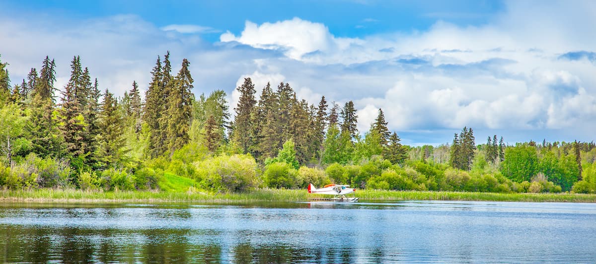
Tatla Lake is where the plateau meets the mountains of West Chilcotin. The Tatla Lake Recreation Site sits north of Highway 20 and is a popular destination for hiking, swimming, boating, canoeing, and fishing. Hikers can make the trek to Klinaklini Falls or Puntzi Lake or opt to explore the badlands of the Chilcotin Plateau on trails near Farewell Canyon.
Anahim Lake is a small, native community that sits on the outskirts of the Chilcotin Wilderness of the Itcha Mountains, Ilgachuz Mountains, and Rainbow Mountains. Anahim Lake is the site of the Chilcotin Settlement and is the largest community in the West Chilcotin. Located on Highway 20, Anahim Lake has three general stores, a motel, and a restaurant. Nearby, the Anahim Lake Resort offers visitors cozy accommodations, including cabins and lakeshore campsites.
Located in a region known as the ‘Cariboo,’ Williams Lake is the second largest city in the area. Williams Lake is famous for the Williams Lake Stampede, the second largest professional rodeo in Canada, and is known for its ‘wester frontier’ character. Williams Lake is located centrally at the junction of Highway 97 and Highway 20, making it an excellent stop for anyone visiting the vast expanses of the Chilcotin Plateau.