Scan the QR code and open PeakVisor on your phone
Located in the Park Ranges of the Canadian Rockies, the Vermilion Range lies east of the Sawback Range and west of the Bare and Pallister Ranges along the southeastern border of British Columbia and southwestern border of Alberta, Canada.
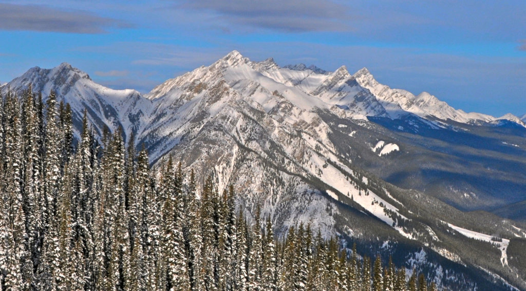
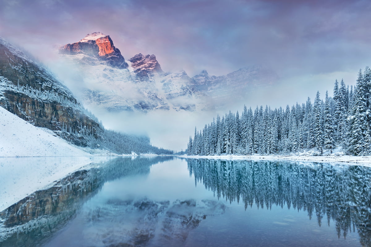
The eastern portion of the Vermilion Range lies in Banff National Park, a 2,564-square-mile wilderness that encompasses prominent glaciers, glacial-fed lakes, dramatic vistas, and imposing, 9,000-foot summits, like Mount Brewster, Sira Peak, and Cascade Mountain.
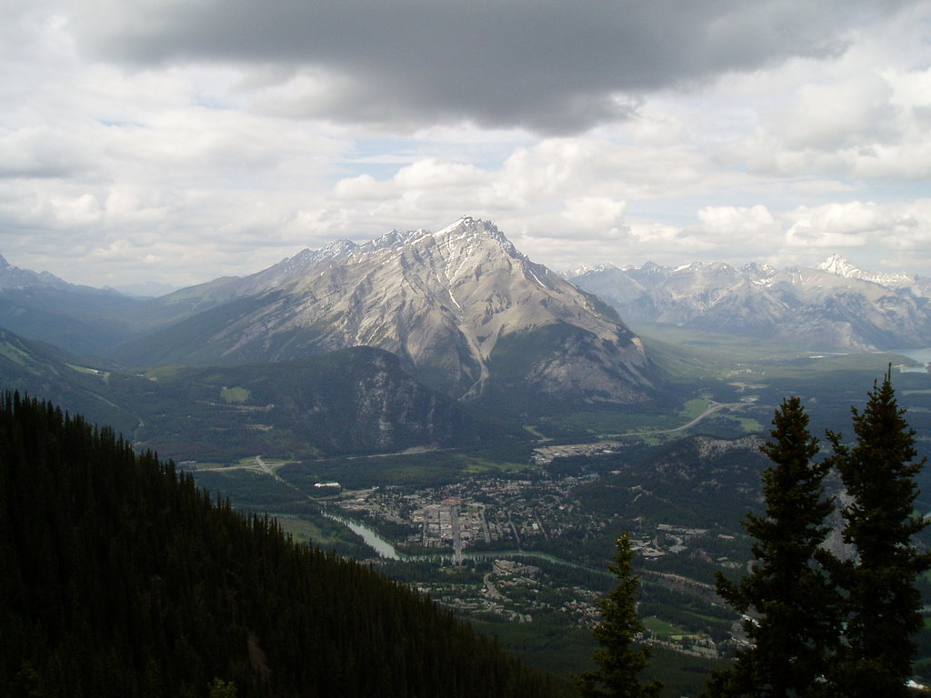
Cascade Mountain, the tallest of the nine eastern Vermilion summits, is arguably the most recognizable peak in the region. Located in the Bow River Valley, Cascade Mountain sits adjacent to Banff and can be summited via the Norquay Ski Area. Framed along Banff Avenue, Cascade Mountain can also be appreciated while hanging out at local restaurants and coffee shops in town.
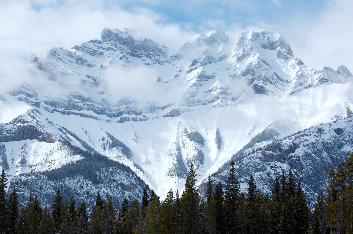
The eastern Vermilions in Banff are composed of sedimentary rock laid down during the Precambrian to Jurassic periods and pushed east over the top of younger rock 70 to 80 million years ago.
Reaching the summit of this iconic mountain isn’t for the faint of heart. There are several ways to summit Cascade Mountain, but the easiest requires a 4,800 foot climb over 11 miles.
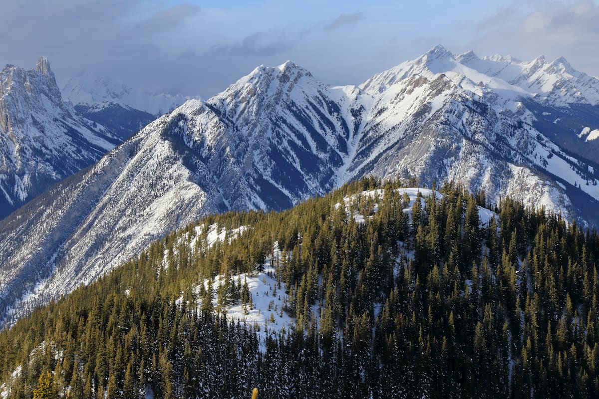
Beginning from Banff, hikers will follow the Norquay Road to the Mount Norquay Ski Area. The trail begins from the lodge, following a service road to the Forty Mile Creek. At the sign for Cascade Amphitheater, the trail travels right. This is where the real fun begins. The trail begins to climb, steadily, up a series of switchbacks, eventually reaching the tree line. From there, the trail continues to First Peak and follows a series of cairns and yellow tape towards False Summit. After navigating around False Summit, hikers will ascend loose scree to the summit.
Located on Highway 93, the Storm Mountain Lodge is a charming collection of historical cabins that were constructed in 1922 by the Canadian Pacific Railway. Like the Kootenay Park Lodge, the Storm Mountain Lodge was built to promote tourism in the Rocky Mountains. The original lodge and six unique bungalows are still enjoyed by guests today.
The village of Radium Hot Springs is a tiny townsite named after the nearby Radium Hot Springs in Kootenay National Park. Radium Hot Springs sits at the southwestern entrance of Kootenay National Park and offers a number of popular accommodations like the Bighorn Meadows Resort, Nipika Mountain Resort, and Rocky Mountain Springs Lodge. In the winter months, visitors can take advantage of Sled Radium or Ski, Stay & Soak to explore epic mountain sledding, ski touring, and soak in the infamous Radium Hot Springs.
The vibrant town of Banff lies just northeast of Kootenay National Park, offering visitors a variety of restaurants, shops, hotels, and resorts to choose from. Visitors can pass the time by visiting a variety of cultural landmarks, museums, art galleries, and historic sites, or venture into several nearby National Parks. The lively streets of downtown Banff are peppered with restaurants, shopping, and mountain-town charm.
Nicknamed the “Castle in the Rockies,” the world-famous, historic Fairmont Banff Springs Hotel, offers year-round resort amenities and unparalleled skiing opportunities. However, there are plenty of other popular resorts and other accommodations in and around the town of Banff. Not to mention, Banff is home to three world-class ski resorts – Banff Sunshine, Lake Louise, and Norquay, which cumulatively boast over 8,000 acres of accessible terrain.


.jpg)