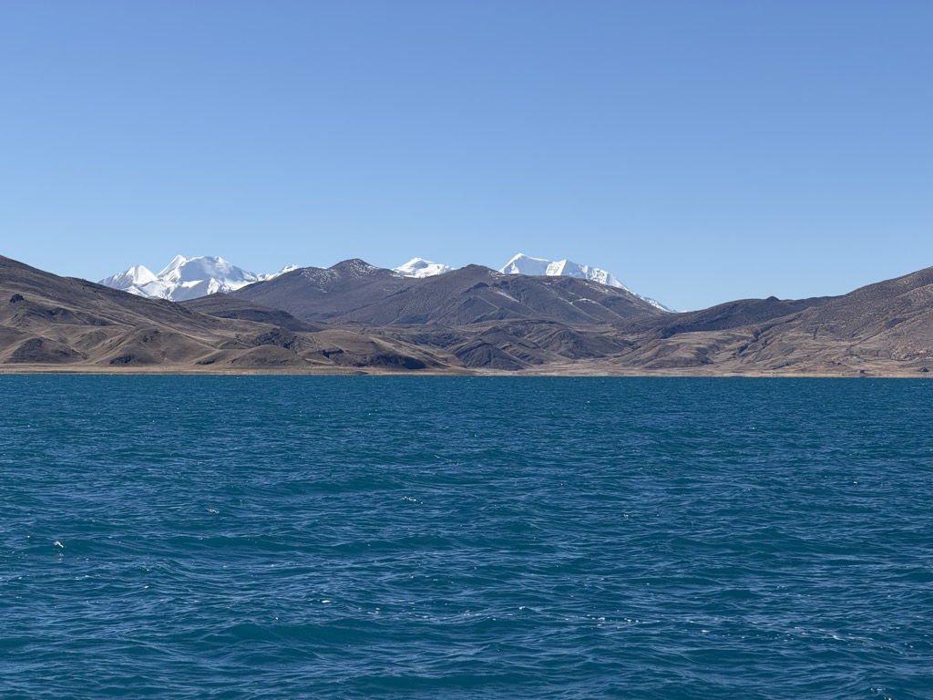
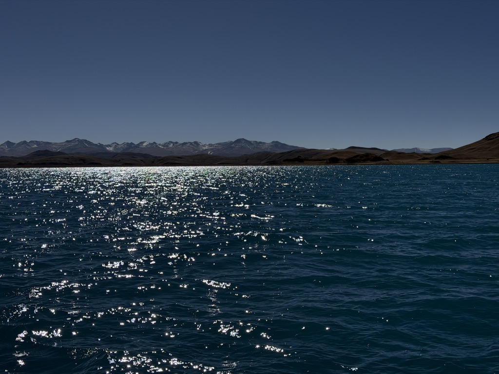
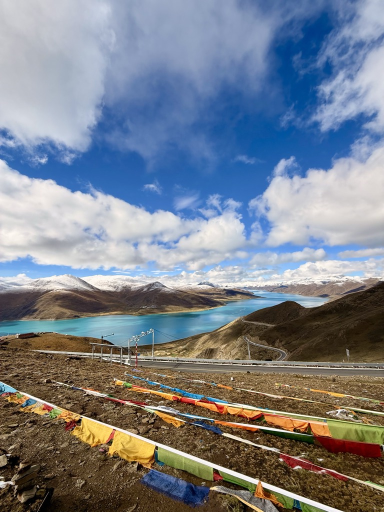
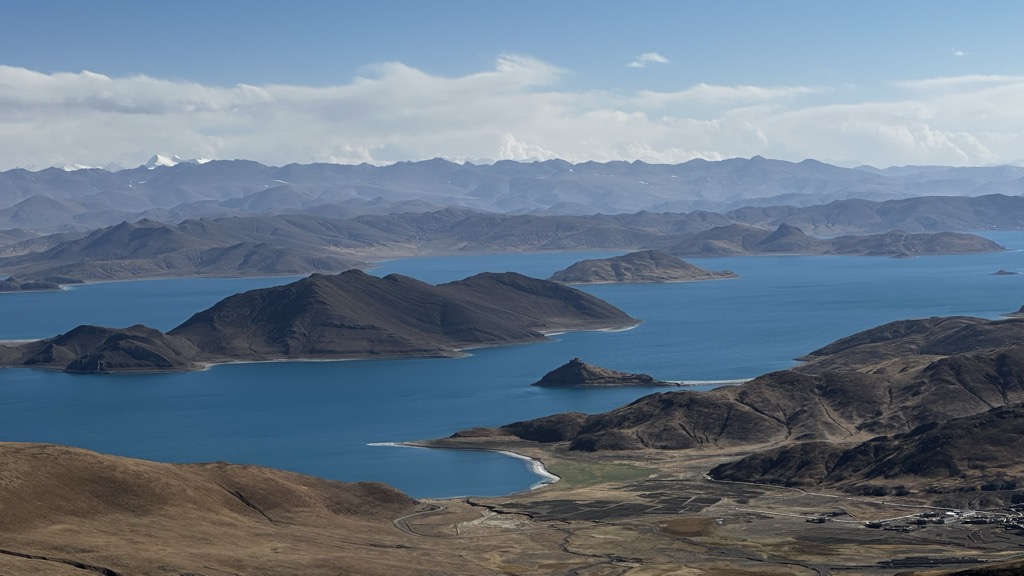
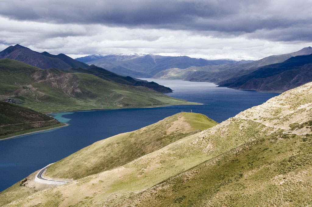
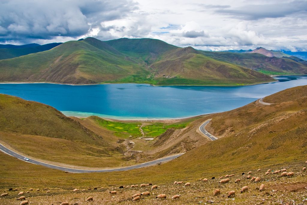
Yamdrok Lake (also known as Yamdrok Yumtso or Yamzho Yumco; Tibetan: ཡར་འབྲོག་གཡུ་མཚོ་, Wylie: yar-'drog. G’yu-mtsho, ZYPY: Yamzhog Yumco; Chinese: 羊卓雍錯; pinyin: Yángzhuó Yōngcuò, Yángzhuō Yōngcuò) is a freshwater lake in Tibet. It is one of the three largest lakes in Tibet. It is over 72 km (45 mi) long. The lake is surrounded by many snow-capped mountains and is fed by numerous small streams. The lake has an outlet stream, a tributary of Yarlung Tsangpo, at its far western end and means turquoise in English due to its color. Around 90 km (56 mi) to the west of the lake lies the Tibetan town of Gyantse and Lhasa is 100 km (62 mi) to the northeast. According to local mythology, Yamdok Yumtso lake is the transformation of a goddess. The Yamdrok Hydropower Station was completed and dedicated in 1996 near the small village of Baidi at the lake's western end. This power station is the largest in Tibet.
We use GPS information embedded into the photo when it is available.
3D mountains overlay
Adjust mountain panorama to perfectly match your photos because recorded by camera photo position might be imprecise.
Move tool
Rotate tool
Zoom
More customization
Choose which peak labels should make into the final photo and what photo title should be.
Next
Photo Location
Satellitte
Flat map
Relief map
Latitude
Longitude
Altitude
OR
Latitude
°'''
Longitude
°'''
Apply
Register Peak
Peak Name
Latitude
Longitude
Altitude
Register
Teleport
PeakVisor
This 3D model of Sagarmatha National Park in Nepal was made using the PeakVisor app topographic data. The mobile app features higher precision models worldwide, more topographic details, and works offline. Download PeakVisor maps today.
Download OBJ model
PeakVisor
The download should start shortly. If you find it useful please consider supporting the PeakVisor app.
PeakVisor for iOS and Android
Be a superhero of outdoor navigation with state-of-the-art 3D maps and mountain identification in the palm of your hand!