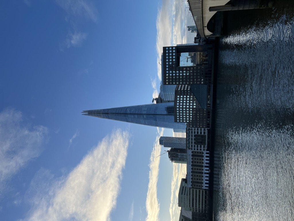
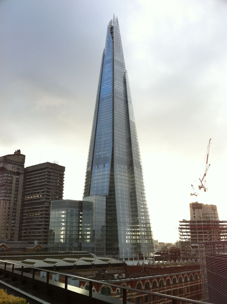
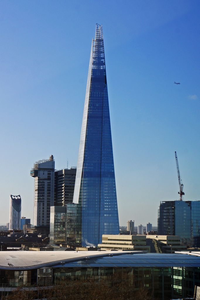
The Shard, also referred to as the Shard London Bridge and formerly London Bridge Tower, is a pyramid-shaped 72-storey mixed-use development supertall skyscraper, designed by the Italian architect Renzo Piano, in Bermondsey, London, that forms part of The Shard Quarter development. Standing 309.6 metres (1,016 feet) high, The Shard is the tallest building in the United Kingdom, the seventh-tallest building in Europe, and the second-tallest outside Russia behind the Varso Tower in Warsaw, which beats the Shard by less than half a metre. It is also the second-tallest free-standing structure in the United Kingdom, after the concrete tower of the Emley Moor transmitting station. The Shard replaced Southwark Towers, a 24-storey office block built on the site in 1975. The Shard's construction began in March 2009; it was topped out on 30 March 2012 and inaugurated on 5 July 2012. Practical completion was achieved in November 2012. The tower's privately operated observation deck, The View from The Shard, was opened to the public on 1 February 2013. The glass-clad pyramidal tower has 72 habitable floors, with a viewing gallery and open-air observation deck on the 72nd floor, at a height of 244 metres (801 ft). The Shard was developed by Sellar Property Group on behalf of LBQ Ltd and is jointly owned by Sellar Property (5%) and the State of Qatar (95%).
Show more
Sun and Moon
Mon
Tue
Wed
Thu
Fri
Sat
Sun
May 2022
Date and time
00:00
06:00
12:00
18:00
Today
--
--
Sunrise
--
Sunset
--
Moonrise
--
Moonset
Phase
🌔 Waxing Gibbous
The perfect light time for beautiful photos:
--
Sunrise
--
Sunset
PeakVisor app
Get the app on your smartphone
New Panorama Tools
Trace location on the map
Measure distances
All the instruments are available in the context menu as well.
We use GPS information embedded into the photo when it is available.
3D mountains overlay
Adjust mountain panorama to perfectly match your photos because recorded by camera photo position might be imprecise.
Move tool
Rotate tool
Zoom
More customization
Choose which peak labels should make into the final photo and what photo title should be.
Next
Photo Location
Satellitte
Flat map
Relief map
Latitude
Longitude
Altitude
OR
Latitude
°'''
Longitude
°'''
Apply
Register Peak
Peak Name
Latitude
Longitude
Altitude
Register
Teleport
PeakVisor
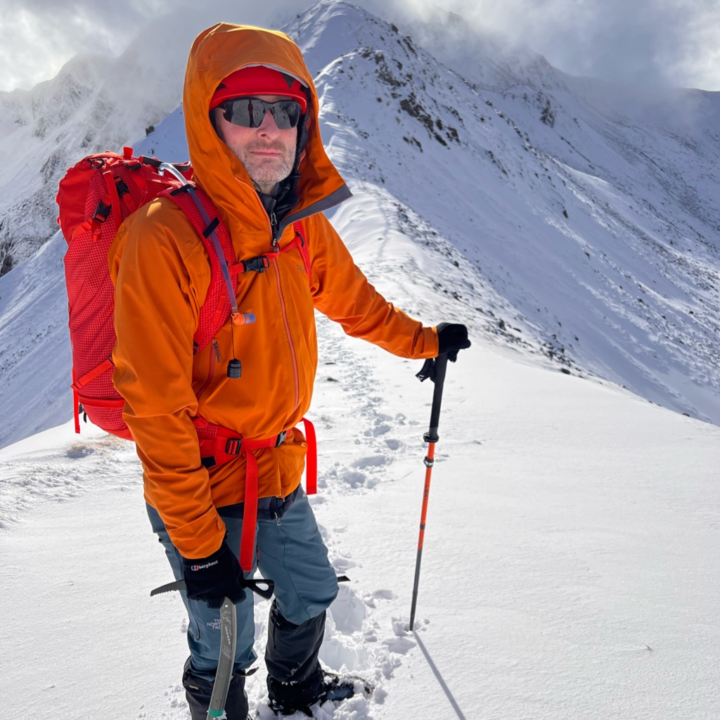
This 3D model of Sagarmatha National Park in Nepal was made using the PeakVisor app topographic data. The mobile app features higher precision models worldwide, more topographic details, and works offline. Download PeakVisor maps today.
Download OBJ model
PeakVisor
The download should start shortly. If you find it useful please consider supporting the PeakVisor app.
PeakVisor for iOS and Android
Be a superhero of outdoor navigation with state-of-the-art 3D maps and mountain identification in the palm of your hand!


_2.jpg)
.jpg)
.jpg)


