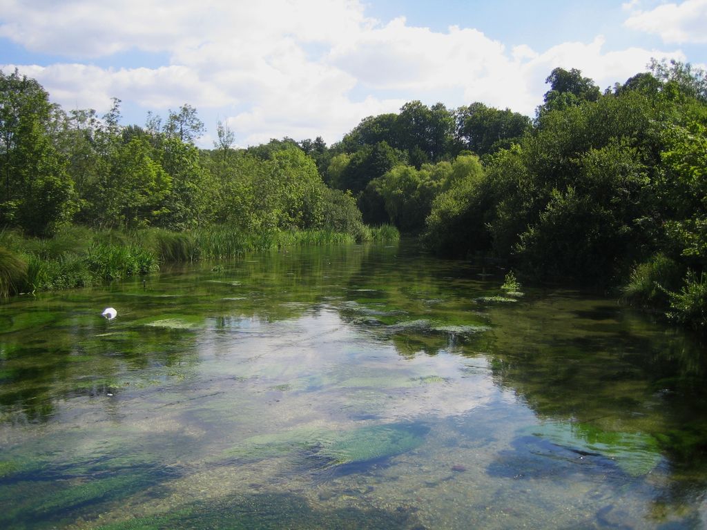
The River Itchen in Hampshire, England, rises to the south of New Alresford and flows 26 miles (42 km) to meet Southampton Water below the Itchen Bridge. The Itchen Navigation was constructed in the late 17th and early 18th centuries to enable barges to reach Winchester from Southampton Docks, but ceased to operate in the mid-19th century and is largely abandoned today. The river is one of the world's premier chalk streams for fly fishing, amenable to dry fly or nymphing. The local chalk aquifer has excellent storage and filtration and the river has long been used for drinking water. Watercress thrives in its upper reaches. Much of the river from its source to Swaythling is classified as a 748.5-hectare (1,850-acre) biological Site of Special Scientific Interest (SSSI), and a Special Area of Conservation, of which the 9-hectare (22-acre) Hockley Meadows nature reserve is a part. The Itchen estuary is part of the separate Lee-on-The Solent to Itchen Estuary SSSI.
We use GPS information embedded into the photo when it is available.
3D mountains overlay
Adjust mountain panorama to perfectly match your photos because recorded by camera photo position might be imprecise.
Move tool
Rotate tool
Zoom
More customization
Choose which peak labels should make into the final photo and what photo title should be.
Next
Photo Location
Satellitte
Flat map
Relief map
Latitude
Longitude
Altitude
OR
Latitude
°'''
Longitude
°'''
Apply
Register Peak
Peak Name
Latitude
Longitude
Altitude
Register
Teleport
PeakVisor
This 3D model of Sagarmatha National Park in Nepal was made using the PeakVisor app topographic data. The mobile app features higher precision models worldwide, more topographic details, and works offline. Download PeakVisor maps today.
Download OBJ model
PeakVisor
The download should start shortly. If you find it useful please consider supporting the PeakVisor app.
PeakVisor for iOS and Android
Be a superhero of outdoor navigation with state-of-the-art 3D maps and mountain identification in the palm of your hand!