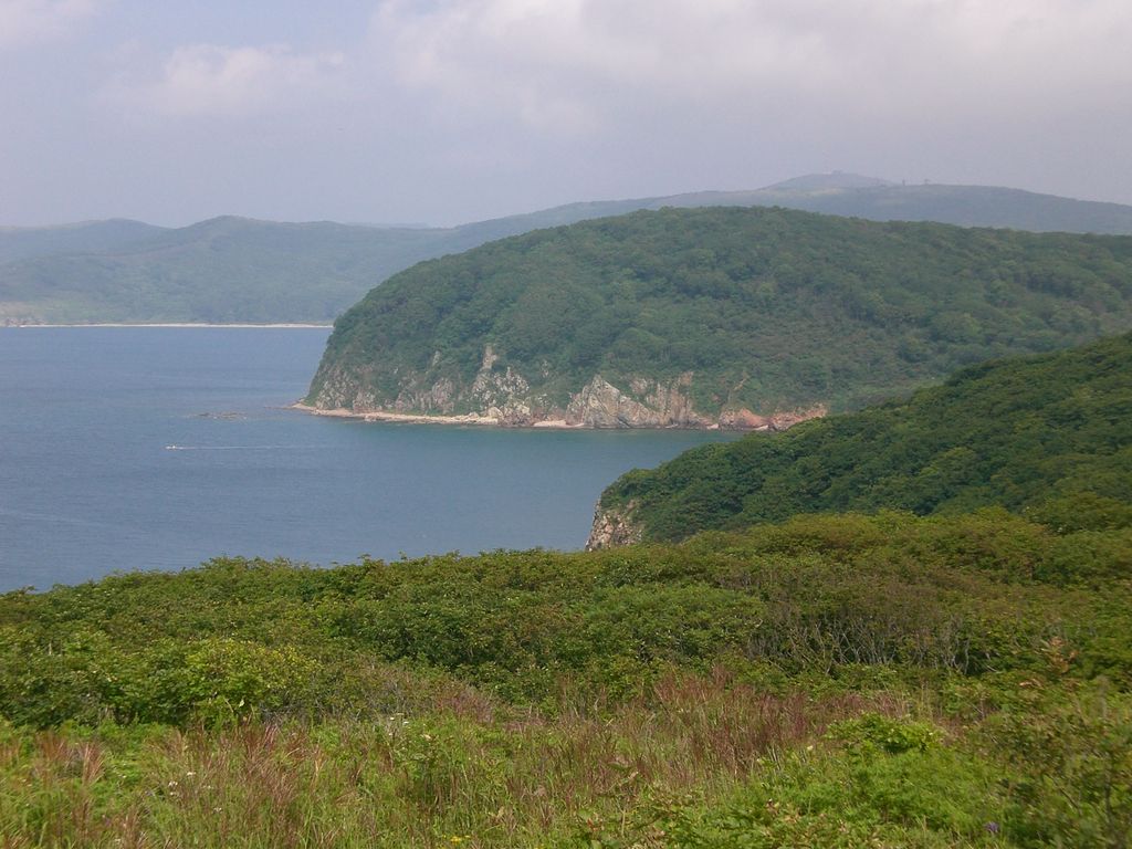
Shkot Island (Russian: Остров Шкота lit. Isle of Shkot) is an island in the Eugénie Archipelago within the Peter the Great Gulf of the Sea of Japan. The uninhabited island is one of the five large islands in the archipelago, with an area of 2.6 square kilometres (1.0 square mile) and its highest point at 146 metres (479 feet) above sea level. Shkot Island is located 0.5 kilometres (0.3 miles) directly south of Russky Island, to which it is connected by a low thin isthmus, making it one of only two islands in the archipelago accessible to the mainland by foot. Shkot Island, like all islands of Eugénie Archipelago, is administratively part of the city of Vladivostok in Primorsky Krai, Russia. The island was named after Nikolay Shkot, the commander of the Russian Imperial Navy corvette Amerika who led one of the earliest hydrographic expeditions in the Primorsky Krai and Sakhalin regions of the Russian Far East in 1863, and was a co-founder of Vladivostok.
We use GPS information embedded into the photo when it is available.
3D mountains overlay
Adjust mountain panorama to perfectly match your photos because recorded by camera photo position might be imprecise.
Move tool
Rotate tool
Zoom
More customization
Choose which peak labels should make into the final photo and what photo title should be.
Next
Photo Location
Satellitte
Flat map
Relief map
Latitude
Longitude
Altitude
OR
Latitude
°'''
Longitude
°'''
Apply
Register Peak
Peak Name
Latitude
Longitude
Altitude
Register
Teleport
PeakVisor
This 3D model of Sagarmatha National Park in Nepal was made using the PeakVisor app topographic data. The mobile app features higher precision models worldwide, more topographic details, and works offline. Download PeakVisor maps today.
Download OBJ model
PeakVisor
The download should start shortly. If you find it useful please consider supporting the PeakVisor app.
PeakVisor for iOS and Android
Be a superhero of outdoor navigation with state-of-the-art 3D maps and mountain identification in the palm of your hand!