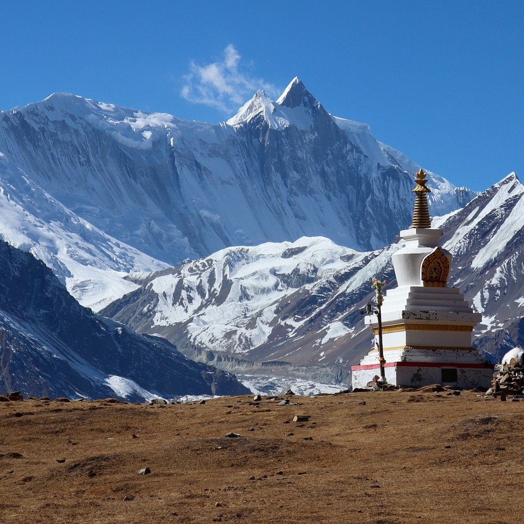
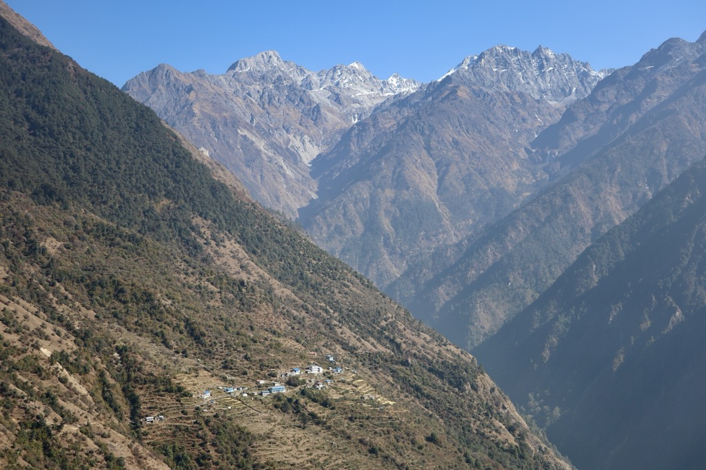
Sherpagaun (village, Nepalese) is a small hamlet from Briddhim Village development committee located in Langtang National Park in the northern part of Nepal, near Tibet and the Himalayas, about 2500 meters above sea level. The local economy is primarily agricultural farming of such staple foods as potatoes, corn, wheat, barley, and cattle farming of cows, goats, sheep, mules, and yak. The Langtang region is very popular in the tourism business. Sherpagaun is on one of the tourist routes to Langtang region, and some people in this area have opened small motels to get extra income. There is one government funded school in the village which provides education until grade 5, but not enough students attend to allow the school to function properly. Some children have relocated to Kathmandu to become Buddhist monks, while others have sought schooling overseas in hopes of a better life and education. Most residents of the community are Buddhist; many of their ancestors were migrants from Tibet. As tourists have started to take the route of Sherpagaun to avoid the crowd of Lama Hotel, the villagers have started to build new tea houses and homestays. Due to the newly built infrastructure and better views of the hiking trail, the path via Sherpagaun is becoming popular among trekkers to Langtang.
We use GPS information embedded into the photo when it is available.
3D mountains overlay
Adjust mountain panorama to perfectly match your photos because recorded by camera photo position might be imprecise.
Move tool
Rotate tool
Zoom
More customization
Choose which peak labels should make into the final photo and what photo title should be.
Next
Photo Location
Satellitte
Flat map
Relief map
Latitude
Longitude
Altitude
OR
Latitude
°'''
Longitude
°'''
Apply
Register Peak
Peak Name
Latitude
Longitude
Altitude
Register
Teleport
PeakVisor
This 3D model of Sagarmatha National Park in Nepal was made using the PeakVisor app topographic data. The mobile app features higher precision models worldwide, more topographic details, and works offline. Download PeakVisor maps today.
Download OBJ model
PeakVisor
The download should start shortly. If you find it useful please consider supporting the PeakVisor app.
PeakVisor for iOS and Android
Be a superhero of outdoor navigation with state-of-the-art 3D maps and mountain identification in the palm of your hand!