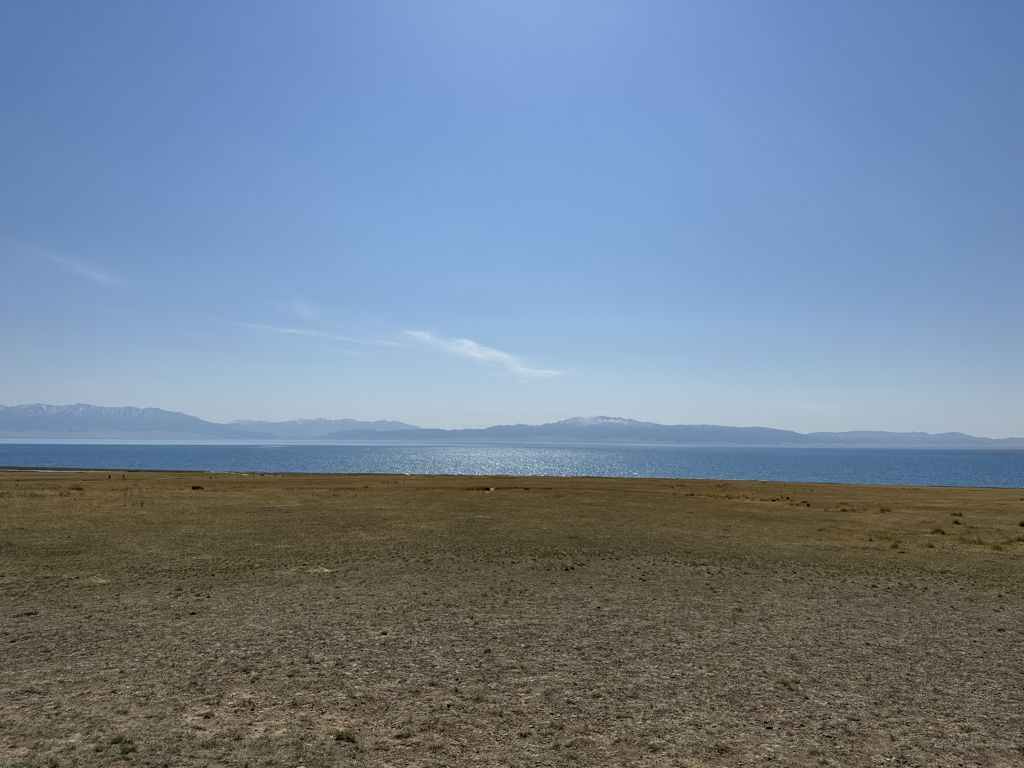
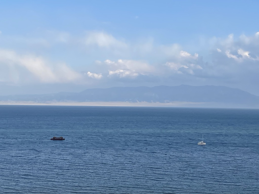
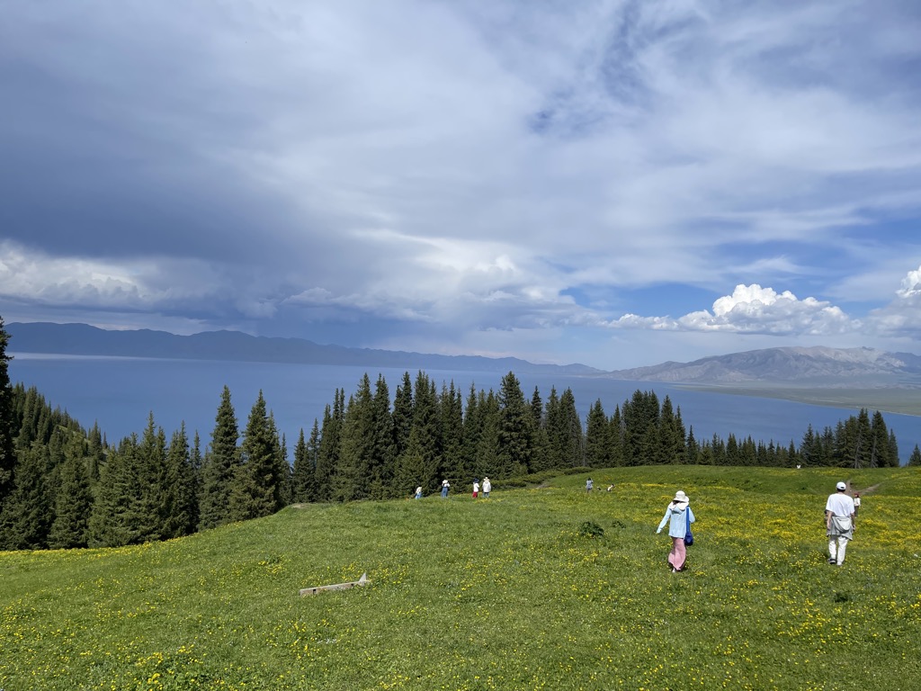
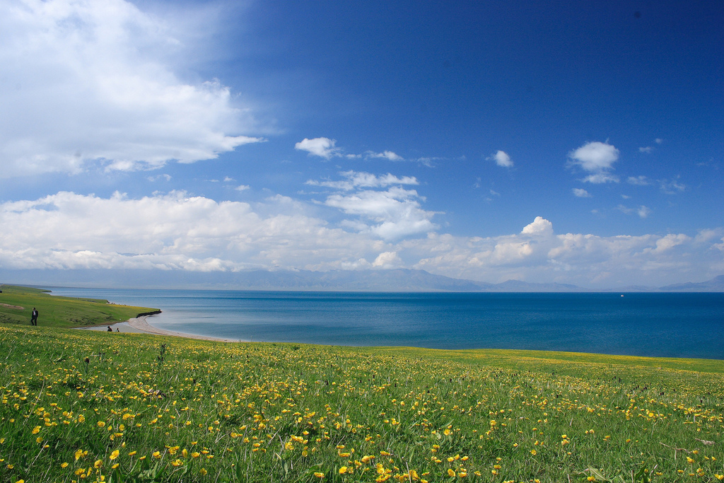
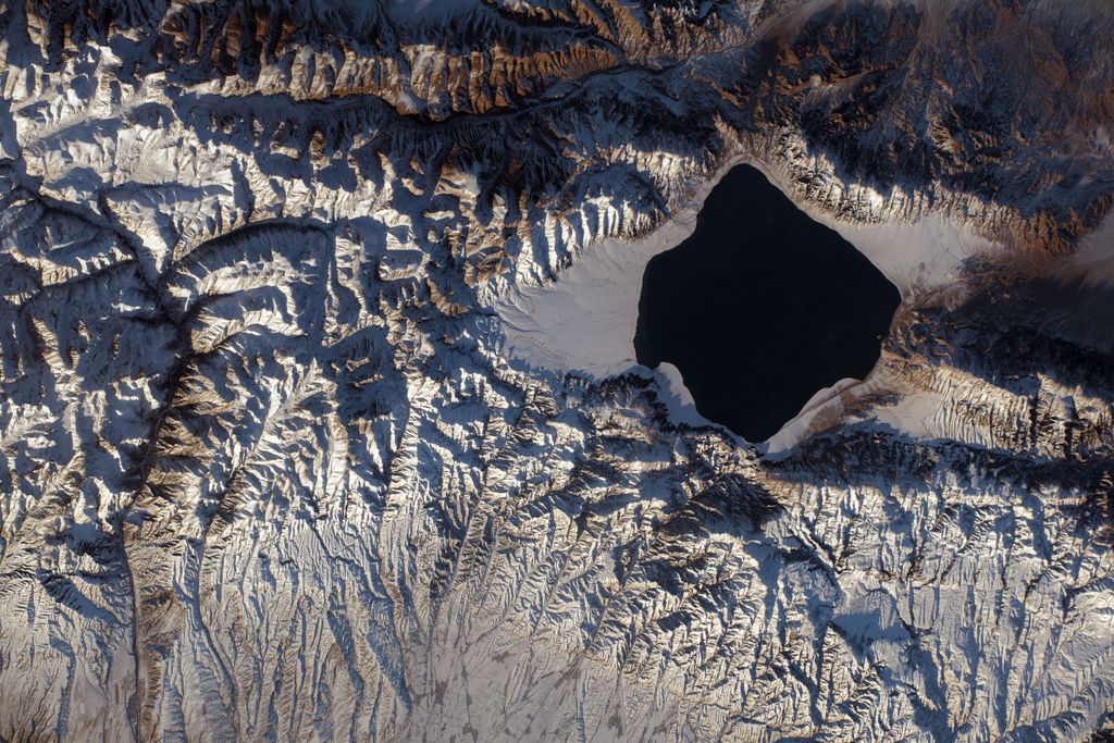
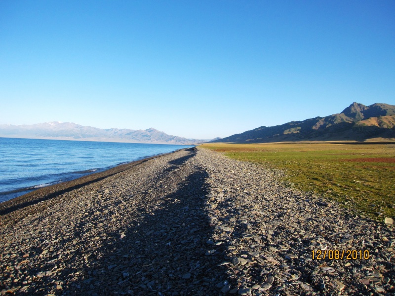
Sayram Lake (Chinese: 赛里木湖; pinyin: Sàilǐmù hú; Kazakh: Сайрам көлі, romanized: Sairam köli; Mongolian: Сайрам нуур, romanized: Sairam nurr), also known as Santai Haizi (Chinese: 三台海子) or historically the "Clean Sea" (净海), is an endorheic freshwater lake in the northern Tianshan Mountains at Börtala Mongol Autonomous Prefecture, Xinjiang, China, less than 50 km (31 mi) from the border with Kazakhstan. The name Sayram originally derives from Kazakh, meaning "blessing". The lake is the largest (458 km2 or 177 sq mi) and also the highest (at 2,070 m or 6,790 ft) alpine lake in Xinjiang, largely filled by glacial meltwater, residual precipitation from the Eurasian westerlies and runoffs from the surrounding mountain chains, as well as some groundwater springing and seepage. It is an AAAA National Scenic Area since 2010.
We use GPS information embedded into the photo when it is available.
3D mountains overlay
Adjust mountain panorama to perfectly match your photos because recorded by camera photo position might be imprecise.
Move tool
Rotate tool
Zoom
More customization
Choose which peak labels should make into the final photo and what photo title should be.
Next
Photo Location
Satellitte
Flat map
Relief map
Latitude
Longitude
Altitude
OR
Latitude
°'''
Longitude
°'''
Apply
Register Peak
Peak Name
Latitude
Longitude
Altitude
Register
Teleport
PeakVisor
This 3D model of Sagarmatha National Park in Nepal was made using the PeakVisor app topographic data. The mobile app features higher precision models worldwide, more topographic details, and works offline. Download PeakVisor maps today.
Download OBJ model
PeakVisor
The download should start shortly. If you find it useful please consider supporting the PeakVisor app.
PeakVisor for iOS and Android
Be a superhero of outdoor navigation with state-of-the-art 3D maps and mountain identification in the palm of your hand!