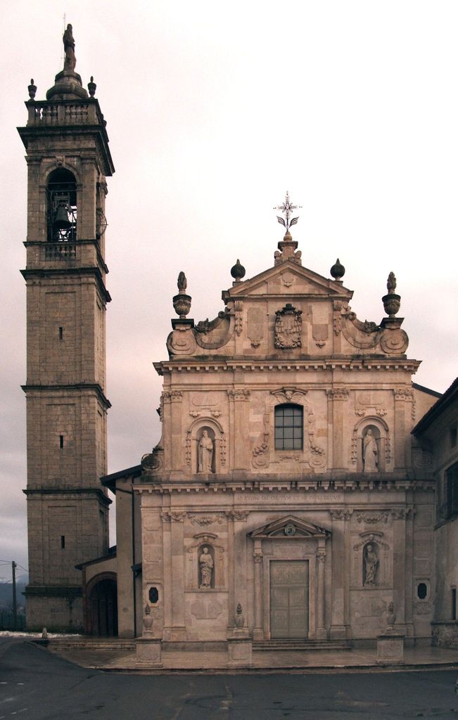
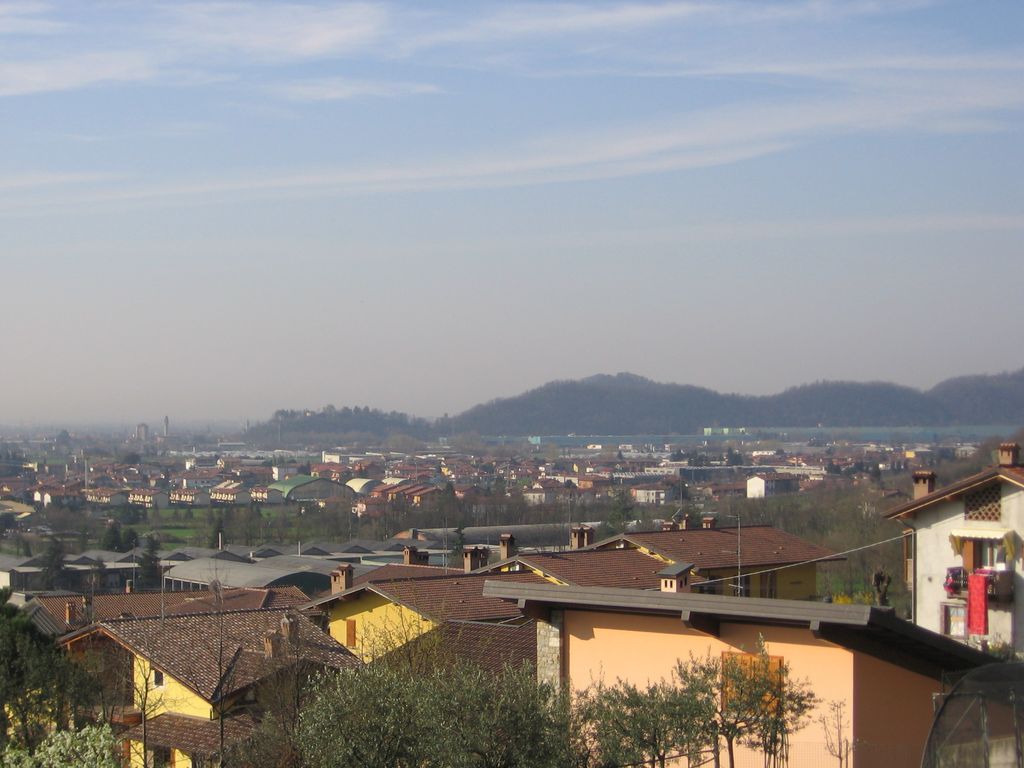
San Paolo d'Argon (Bergamasque: San Pól d'Àrgon) is a comune (municipality) of 5,721 inhabitants in the Province of Bergamo in the Italian region of Lombardy, located about 60 kilometres (37 mi) northeast of Milan and about 11 kilometres (7 mi) east of Bergamo. The commune is located at the beginning of the Cavallina Valley and it's crossed by two main roads: the Strada Statale 42 del Tonale e della Mendola and the Provincial Road 91 to the Lake Iseo. It is home to a large Cluniac monastery, founded in 1079. It was restored in the 16th century, as shown by the perfectly geometrical Renaissance cloisters (1500 and 1532). In the former refectory there are frescoes (1624) by Giovanni Battista Lorenzetti. The annexed church, dedicated to the Conversion of Saint Paul, was rebuilt between 1684 and 1690 on an ancient romanesque one and represents one of the most impressive examples of Baroque architecture in Bergamo. Its white façade in local marble dates back to 1690. The single wide nave's vault is completely decorated with frescoes by Giulio Quaglio (1712–13). Three little chapels open up on the two sides of the nave. Other artworks include canvasses by Giuseppe Maria Crespi, Sebastiano Ricci and Antonio Balestra. The bell tower was rebuilt in 1738 as reported on its eastern side too. Until the early 20th century, the town was known as Buzzone, while the name "San Paolo d'Argon" designed the monastic complex. From 1929 to 1948 San Paolo d'Argon was united with the neighbouring villages of Cenate Sotto and Cenate Sopra forming a single commune called Cenate d'Argon.
We use GPS information embedded into the photo when it is available.
3D mountains overlay
Adjust mountain panorama to perfectly match your photos because recorded by camera photo position might be imprecise.
Move tool
Rotate tool
Zoom
More customization
Choose which peak labels should make into the final photo and what photo title should be.
Next
Photo Location
Satellitte
Flat map
Relief map
Latitude
Longitude
Altitude
OR
Latitude
°'''
Longitude
°'''
Apply
Register Peak
Peak Name
Latitude
Longitude
Altitude
Register
Teleport
PeakVisor
This 3D model of Sagarmatha National Park in Nepal was made using the PeakVisor app topographic data. The mobile app features higher precision models worldwide, more topographic details, and works offline. Download PeakVisor maps today.
Download OBJ model
PeakVisor
The download should start shortly. If you find it useful please consider supporting the PeakVisor app.
PeakVisor for iOS and Android
Be a superhero of outdoor navigation with state-of-the-art 3D maps and mountain identification in the palm of your hand!


.jpg)


