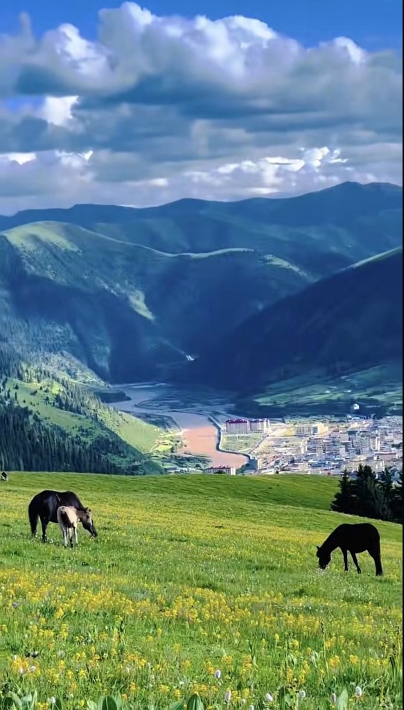
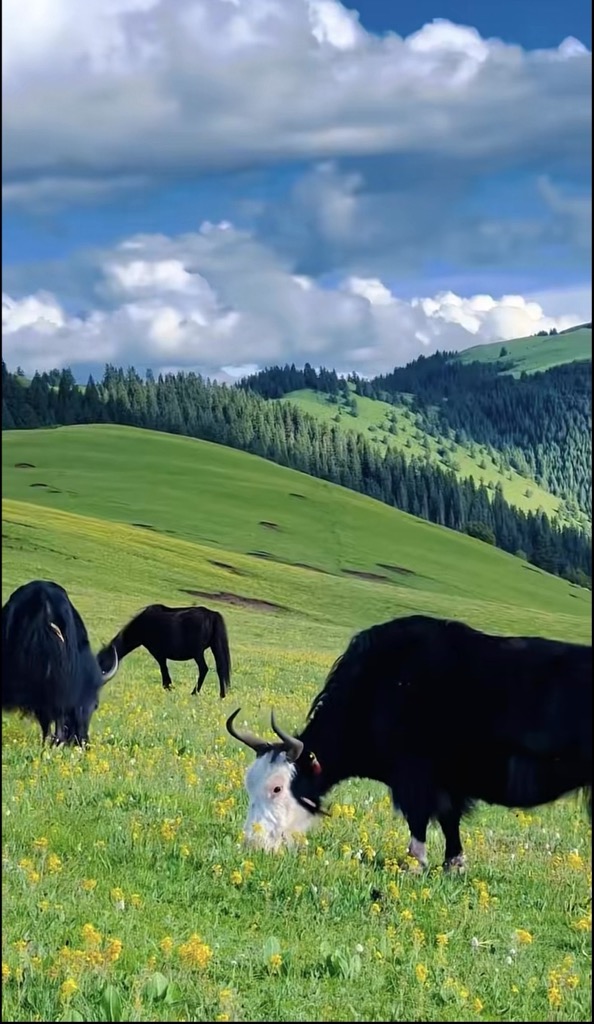
Riwoche (Tibetan: རི་བོ་ཆེ་རྫོང་།; Chinese: 类乌齐县) is a county under the administration of the prefecture-level city of Chamdo in the Tibet Autonomous Region, China. The county lies in eastern Tibet and borders Qinghai province to the north. Riwoche is the name of the county, the county capital, and the small village where the main monastery is located. Riwoche sits at around 3,400 m (11,200 ft) above sea level. The Dzi River flows through the region. The county grows barley and wheat. Khampa inhabitants of the area lives in houses made of wood. The area is highly mountainous, and in contrast to the high altitude grasslands predominant in Tibetan Plateau, Riwoche is lush all year round with evergreen forests. Riwoche's climate is mild by Tibetan standards, with daytime high temperatures generally above −4 °C (25 °F) in winter and 20 °C (68 °F) in summer.
We use GPS information embedded into the photo when it is available.
3D mountains overlay
Adjust mountain panorama to perfectly match your photos because recorded by camera photo position might be imprecise.
Move tool
Rotate tool
Zoom
More customization
Choose which peak labels should make into the final photo and what photo title should be.
Next
Photo Location
Satellitte
Flat map
Relief map
Latitude
Longitude
Altitude
OR
Latitude
°'''
Longitude
°'''
Apply
Register Peak
Peak Name
Latitude
Longitude
Altitude
Register
Teleport
PeakVisor
This 3D model of Sagarmatha National Park in Nepal was made using the PeakVisor app topographic data. The mobile app features higher precision models worldwide, more topographic details, and works offline. Download PeakVisor maps today.
Download OBJ model
PeakVisor
The download should start shortly. If you find it useful please consider supporting the PeakVisor app.
PeakVisor for iOS and Android
Be a superhero of outdoor navigation with state-of-the-art 3D maps and mountain identification in the palm of your hand!