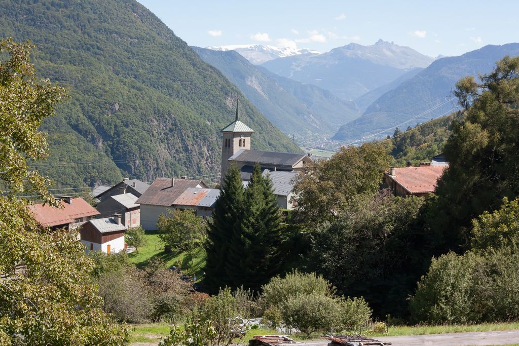
Pussy (French pronunciation: [pysi]) is a small village in the commune of La Léchère in the Savoie département of France. It is situated on the eastern slope of Mont Bellachat above the left bank of the Isère, 9 km (5.5 mi.) northwest of Moûtiers. The name derives from Pusiacum, based on the Roman personal name Pussius, which refers to the owner of the place in the Roman era. The village boundary covers 18 km2 (6.8 mile²). The local church, dedicated to Saint John the Baptist, was rebuilt in 1669. In 1561 the population was recorded as 1455 people, 548 in 1776, and 276 in 1979. Pussy and several other small villages were merged into the La Léchère commune for administrative purposes in 1972.
We use GPS information embedded into the photo when it is available.
3D mountains overlay
Adjust mountain panorama to perfectly match your photos because recorded by camera photo position might be imprecise.
Move tool
Rotate tool
Zoom
More customization
Choose which peak labels should make into the final photo and what photo title should be.
Next
Photo Location
Satellitte
Flat map
Relief map
Latitude
Longitude
Altitude
OR
Latitude
°'''
Longitude
°'''
Apply
Register Peak
Peak Name
Latitude
Longitude
Altitude
Register
Teleport
PeakVisor
This 3D model of Sagarmatha National Park in Nepal was made using the PeakVisor app topographic data. The mobile app features higher precision models worldwide, more topographic details, and works offline. Download PeakVisor maps today.
Download OBJ model
PeakVisor
The download should start shortly. If you find it useful please consider supporting the PeakVisor app.
PeakVisor for iOS and Android
Be a superhero of outdoor navigation with state-of-the-art 3D maps and mountain identification in the palm of your hand!