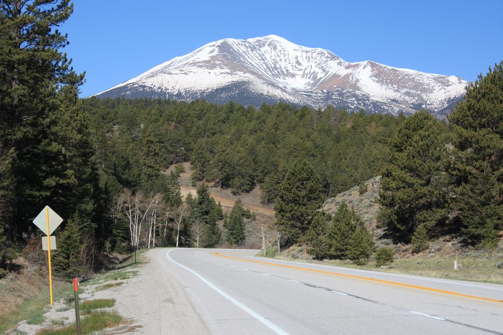
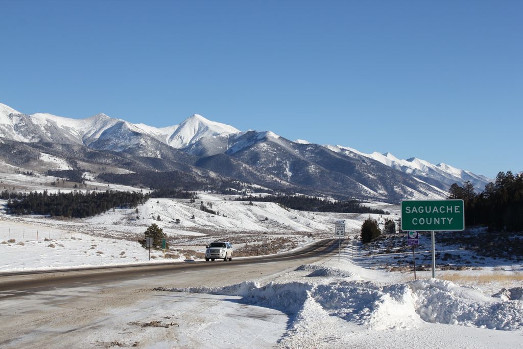
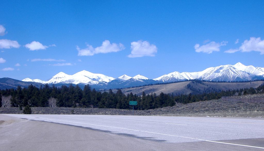
Poncha Pass (9,010 ft; 2,750 m) is a mountain pass in South-Central Colorado (USA). It lies between the San Luis Valley to the south and the valley of the Arkansas River to the north, and is one of the lowest mountain passes in the state. It is in the saddle between the Sangre de Cristo Range, lying to the southeast, and the Sawatch Range, lying to the west and northwest. The small town of Poncha Springs lies about 6 miles (9.7 km) north of the pass. The pass has a mild approach on the northern side and a moderate 5% approach from the south, though it remains open all year round and does not normally cause problems for vehicles in winter. Poncha Pass lies on the border between Chaffee County and Saguache County, and on the border between the San Isabel National Forest and the Rio Grande National Forest.
We use GPS information embedded into the photo when it is available.
3D mountains overlay
Adjust mountain panorama to perfectly match your photos because recorded by camera photo position might be imprecise.
Move tool
Rotate tool
Zoom
More customization
Choose which peak labels should make into the final photo and what photo title should be.
Next
Photo Location
Satellitte
Flat map
Relief map
Latitude
Longitude
Altitude
OR
Latitude
°'''
Longitude
°'''
Apply
Register Peak
Peak Name
Latitude
Longitude
Altitude
Register
Teleport
PeakVisor
This 3D model of Sagarmatha National Park in Nepal was made using the PeakVisor app topographic data. The mobile app features higher precision models worldwide, more topographic details, and works offline. Download PeakVisor maps today.
Download OBJ model
PeakVisor
The download should start shortly. If you find it useful please consider supporting the PeakVisor app.
PeakVisor for iOS and Android
Be a superhero of outdoor navigation with state-of-the-art 3D maps and mountain identification in the palm of your hand!