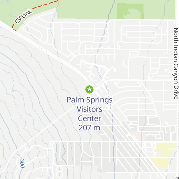
The Tramway Gas Station is a landmark former Enco service station in Palm Springs, California, United States, so named because of its location at the foot of Tramway Road, the lone road leading to the base of the Palm Springs Aerial Tramway. It was intended to be the first Palm Springs building visitors saw when approaching the city from the north via California State Route 111. The building, with its distinctive, cantilevered, wedge-shaped canopy (referred to as a hyperbolic paraboloid on a historic marker mounted on the building) was built in 1965 and designed by Albert Frey and Robson C. Chambers. It is considered to be a prime example of modernist architecture. The station had closed by the mid-1990s, and its fate was in doubt until its purchase by a private interest, who erected a wall around the property and converted it into an art gallery. The building was listed on the National Register of Historic Places in 2015. It is now operated by the Palm Springs Bureau of Tourism as the Palm Springs Visitor Center.
We use GPS information embedded into the photo when it is available.
3D mountains overlay
Adjust mountain panorama to perfectly match your photos because recorded by camera photo position might be imprecise.
Move tool
Rotate tool
Zoom
More customization
Choose which peak labels should make into the final photo and what photo title should be.
Next
Photo Location
Coordinates work here too — paste them as 69.72728, 20.61890 and press Enter
Satellitte
Flat map
Relief map
Latitude
Longitude
Altitude
OR
Latitude
°'''
Longitude
°'''
Apply
Register Peak
Peak Name
Latitude
Longitude
Altitude
Register
Teleport
PeakVisor
This 3D model of Sagarmatha National Park in Nepal was made using the PeakVisor app topographic data. The mobile app features higher precision models worldwide, more topographic details, and works offline. Download PeakVisor maps today.
Download OBJ model
PeakVisor
The download should start shortly. If you find it useful please consider supporting the PeakVisor app.
PeakVisor for iOS and Android
Be a superhero of outdoor navigation with state-of-the-art 3D maps and mountain identification in the palm of your hand!