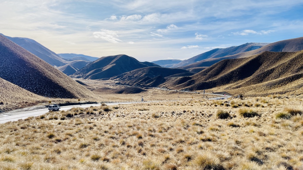
Lindis Pass (Māori: Ōmakō) (elevation 971 m) is located in the South Island of New Zealand. A carpark at the top of the pass provides access to a viewpoint and two short trails to other viewing spots. Lindis Pass lies between the towns of Cromwell (78 km, 55 minutes drive) in Central Otago and Omarama (32 km, 21 minutes drive) in Canterbury, on the main inland route to the Waitaki Basin in the Otago Region. The pass lies between the valleys of the Lindis and Ahuriri Rivers. State Highway 8 transverses the pass on its route from the Waitaki Basin to Central Otago. The pass is the highest point on the South Island's state highway network, and the second highest point on the New Zealand state highway network, after the Desert Road (SH 1) in the Central North Island. Despite this, it is not considered one of the alpine passes as it located in the dry interior of the South Island. Summers are typically hot and dry while heavy snow and frequent ice are common in winter. The Lindis had a web camera installed in 2018 to help ensure traffic controllers and maintenance crews can monitor the highway as well as informing travellers so they are prepared for road conditions. Vehicle crashes on the Lindis Pass have occurred regularly. There is no cell phone coverage on the Lindis Pass. The New Zealand Transport Agency has upgraded aspects of state highway 8 over Lindis Pass by installing new wire-rope safety barriers, improving signage and installing electronic speed warnings in 2013. Lindis Pass is surrounded on all sides by grassland which comprises snow tussocks. Buttercups (ranunculus haastii) are very common on Longslip Mountain (1494 metres). The New Zealand falcon/kārearea, New Zealand pipit/pihoihoi and spotted skink can be seen in the Lindis Pass. The lower altitude beech forests and shrublands provide habitat for fantail/pīwakawaka, grey warbler/riroriro and rifleman/tītitipounamu.
We use GPS information embedded into the photo when it is available.
3D mountains overlay
Adjust mountain panorama to perfectly match your photos because recorded by camera photo position might be imprecise.
Move tool
Rotate tool
Zoom
More customization
Choose which peak labels should make into the final photo and what photo title should be.
Next
Photo Location
Satellitte
Flat map
Relief map
Latitude
Longitude
Altitude
OR
Latitude
°'''
Longitude
°'''
Apply
Register Peak
Peak Name
Latitude
Longitude
Altitude
Register
Teleport
PeakVisor
This 3D model of Sagarmatha National Park in Nepal was made using the PeakVisor app topographic data. The mobile app features higher precision models worldwide, more topographic details, and works offline. Download PeakVisor maps today.
Download OBJ model
PeakVisor
The download should start shortly. If you find it useful please consider supporting the PeakVisor app.
PeakVisor for iOS and Android
Be a superhero of outdoor navigation with state-of-the-art 3D maps and mountain identification in the palm of your hand!