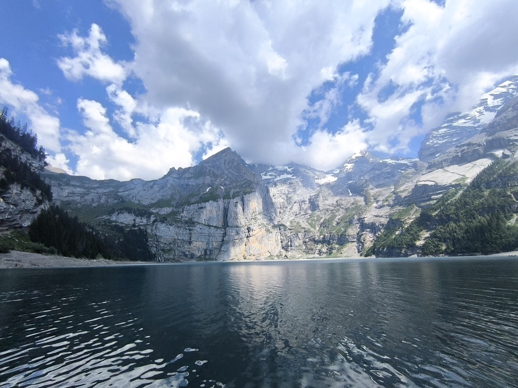
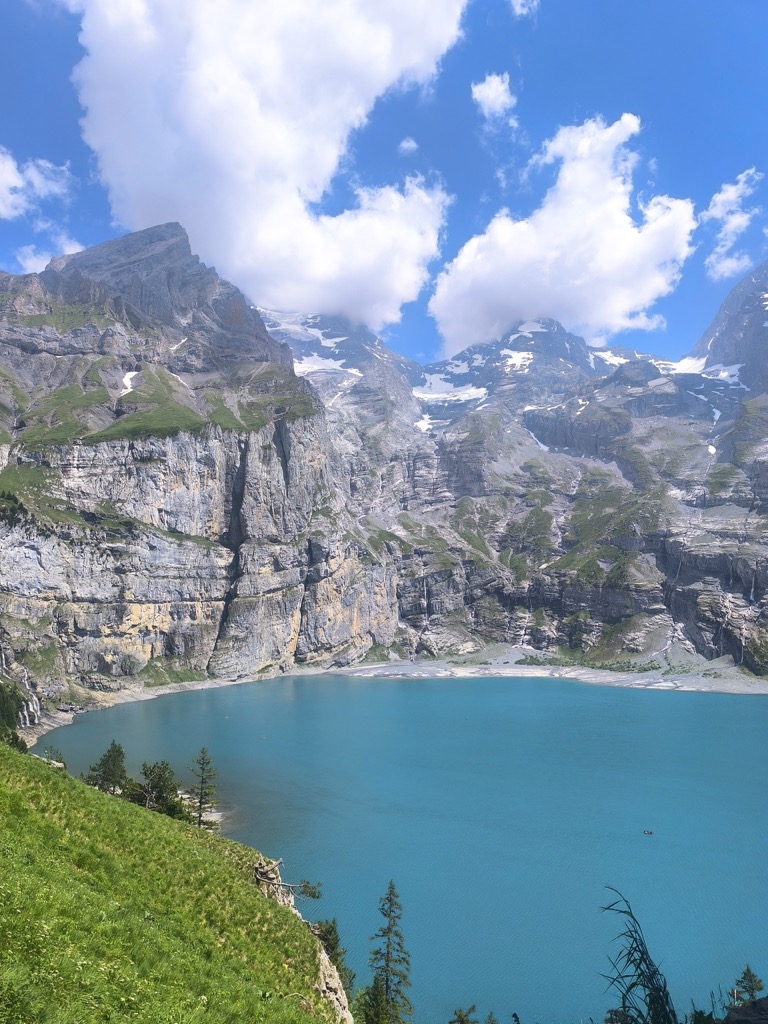
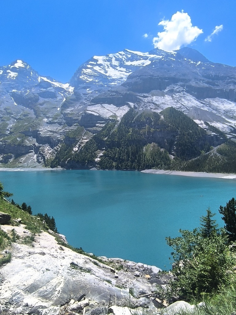
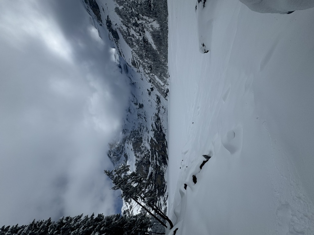
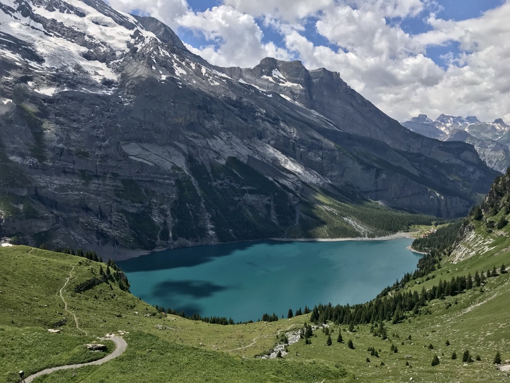
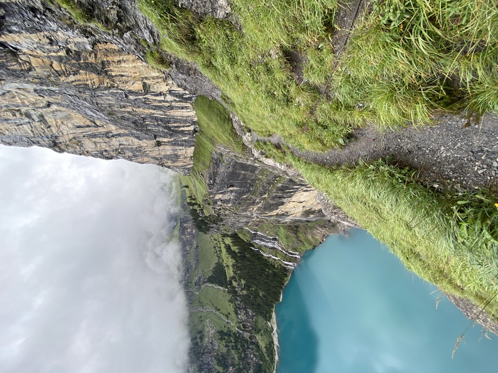
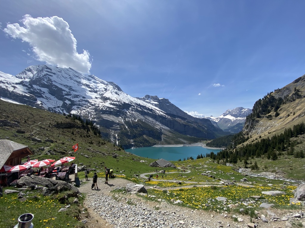
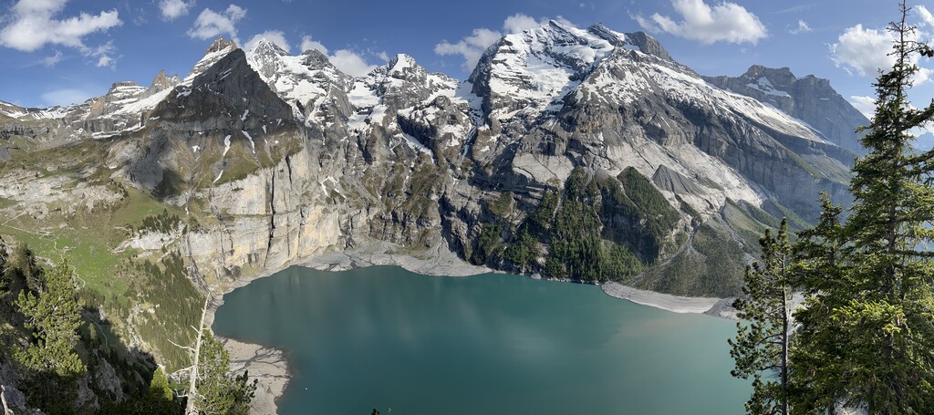
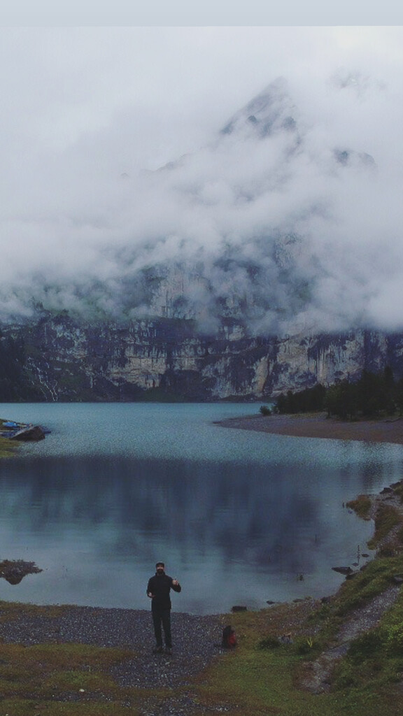
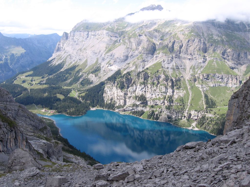
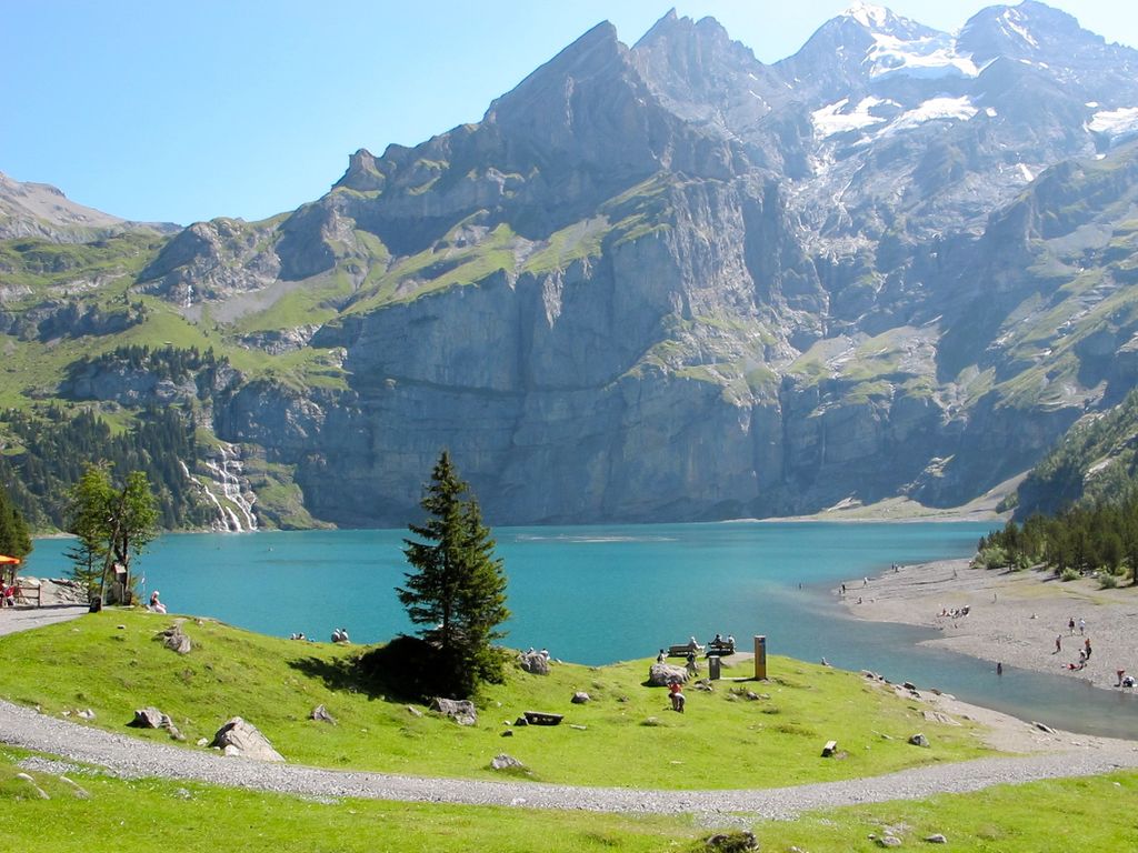
Oeschinen Lake (German: Oeschinensee) is a lake in the Bernese Oberland, Switzerland, 4 kilometres (2.5 mi) east of Kandersteg in the Oeschinen valley. At an elevation of 1,578 metres (5,177 ft), it has a surface area of 1.1147 square kilometres (0.4304 sq mi). Its maximum depth is 56 metres (184 ft). The lake was created by a giant landslide and is fed through a series of mountain creeks and drains underground. The water then resurfaces as the Oeschibach. Part of it is captured for electricity production and as water supply for Kandersteg. In observations from 1931 to 1965, the elevation of the lake surface varied between 1,566.09 metres (5,138.1 ft) and 1,581.9 metres (5,190 ft). The average seasonal variation was 12.2 metres (40 ft) (September/April). The lake is generally frozen during five months, from December to May. From time to time ice skating is possible on the ice. Fish in the lake include Arctic char (Seesaibling), lake trout (Kanadische Seeforelle), rainbow trout (Regenbogenforelle). From January to March, ice fishing is popular. A gondola lift from Kandersteg leads to Oeschinen, 25 minutes by foot from the lake. Since 2007 the lake is part of the Jungfrau-Aletsch-Bietschhorn UNESCO World Heritage Site. As of summer 2021, a circumnavigation of Lake Oeschinen is not possible. The reason for this is the danger of an imminent rockfall on the south shore, which is why paths are closed there.
We use GPS information embedded into the photo when it is available.
3D mountains overlay
Adjust mountain panorama to perfectly match your photos because recorded by camera photo position might be imprecise.
Move tool
Rotate tool
Zoom
More customization
Choose which peak labels should make into the final photo and what photo title should be.
Next
Photo Location
Satellitte
Flat map
Relief map
Latitude
Longitude
Altitude
OR
Latitude
°'''
Longitude
°'''
Apply
Register Peak
Peak Name
Latitude
Longitude
Altitude
Register
Teleport
PeakVisor
This 3D model of Sagarmatha National Park in Nepal was made using the PeakVisor app topographic data. The mobile app features higher precision models worldwide, more topographic details, and works offline. Download PeakVisor maps today.
Download OBJ model
PeakVisor
The download should start shortly. If you find it useful please consider supporting the PeakVisor app.
PeakVisor for iOS and Android
Be a superhero of outdoor navigation with state-of-the-art 3D maps and mountain identification in the palm of your hand!