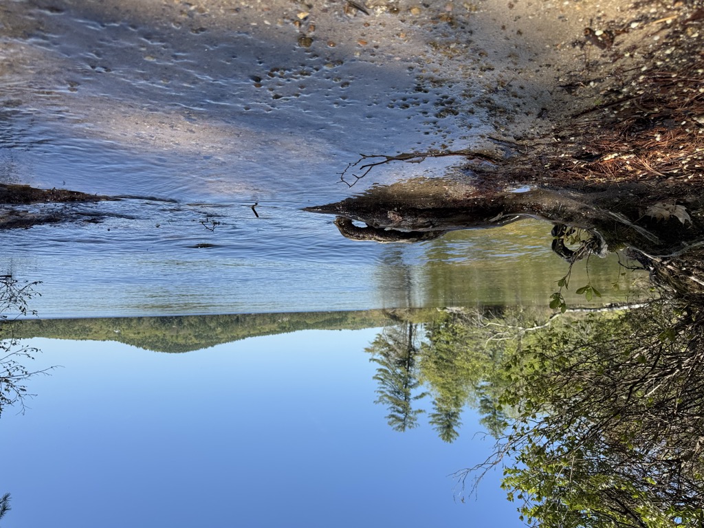
Lake Massabesic or Massabesic Lake is a lake in southern New Hampshire, United States, covering about 2,560 acres (1,040 ha) (equivalent to about 4 sq mi or 10 km2) within the city of Manchester and the town of Auburn. Because it provides drinking water for Manchester, swimming and water skiing are not allowed there. Popular sports on the lake are sailing, fishing, and kayaking. The recreational trails along the lake provide views of the lake and the town of Auburn. Besides flowing into the Manchester water system, the lake's water feeds Cohas Brook, leading to the Merrimack River. Massabesic is a Native American name meaning "place of much water" or "near the great brook." The lake is classified as a cold- and warmwater fishery.
We use GPS information embedded into the photo when it is available.
3D mountains overlay
Adjust mountain panorama to perfectly match your photos because recorded by camera photo position might be imprecise.
Move tool
Rotate tool
Zoom
More customization
Choose which peak labels should make into the final photo and what photo title should be.
Next
Photo Location
Satellitte
Flat map
Relief map
Latitude
Longitude
Altitude
OR
Latitude
°'''
Longitude
°'''
Apply
Register Peak
Peak Name
Latitude
Longitude
Altitude
Register
Teleport
PeakVisor
This 3D model of Sagarmatha National Park in Nepal was made using the PeakVisor app topographic data. The mobile app features higher precision models worldwide, more topographic details, and works offline. Download PeakVisor maps today.
Download OBJ model
PeakVisor
The download should start shortly. If you find it useful please consider supporting the PeakVisor app.
PeakVisor for iOS and Android
Be a superhero of outdoor navigation with state-of-the-art 3D maps and mountain identification in the palm of your hand!