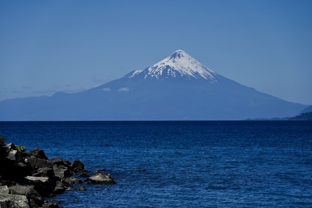
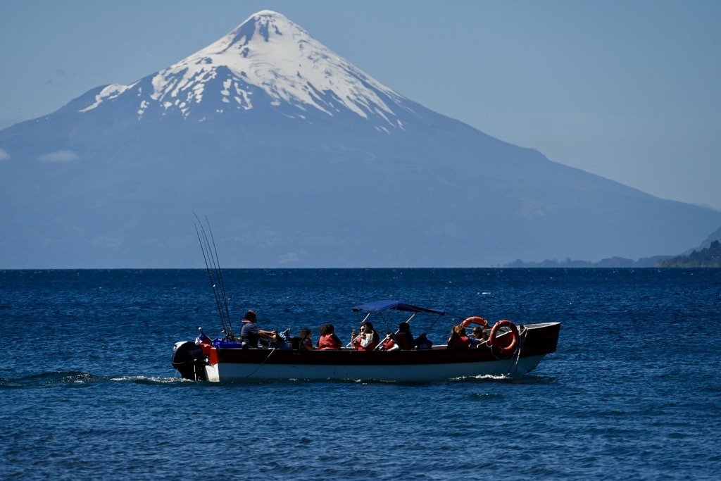
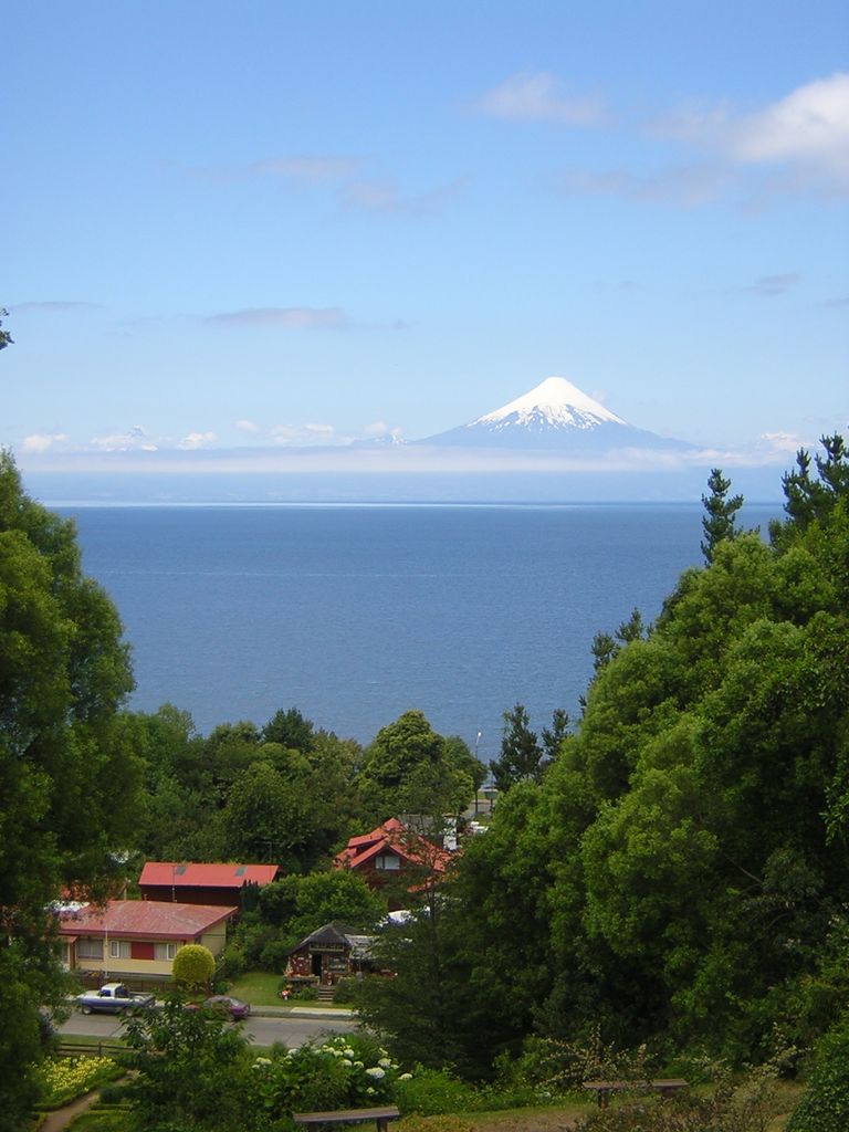
Llanquihue Lake is the second-largest lake in Chile with an area of about 860 square kilometres (330 sq mi), after Lake General Carrera which is shared with Argentina. It is situated in the southern Los Lagos Region in the Llanquihue and Osorno provinces. The lake's fan-like form was created by successive piedmont glaciers during the Quaternary glaciations. The last glacial period is called Llanquihue glaciation in Chile after the terminal moraine systems around the lake. Some historians consider Llanquihue Lake to have been within the range of ancient Chono nomadism. Llanquihue Lake is located in southern Chile a territory of northern Patagonia in the Los Lagos Region. The lake's views of Volcán Osorno make the surrounding cities such as Puerto Varas tourism hotspots.
We use GPS information embedded into the photo when it is available.
3D mountains overlay
Adjust mountain panorama to perfectly match your photos because recorded by camera photo position might be imprecise.
Move tool
Rotate tool
Zoom
More customization
Choose which peak labels should make into the final photo and what photo title should be.
Next
Photo Location
Satellitte
Flat map
Relief map
Latitude
Longitude
Altitude
OR
Latitude
°'''
Longitude
°'''
Apply
Register Peak
Peak Name
Latitude
Longitude
Altitude
Register
Teleport
PeakVisor
This 3D model of Sagarmatha National Park in Nepal was made using the PeakVisor app topographic data. The mobile app features higher precision models worldwide, more topographic details, and works offline. Download PeakVisor maps today.
Download OBJ model
PeakVisor
The download should start shortly. If you find it useful please consider supporting the PeakVisor app.
PeakVisor for iOS and Android
Be a superhero of outdoor navigation with state-of-the-art 3D maps and mountain identification in the palm of your hand!