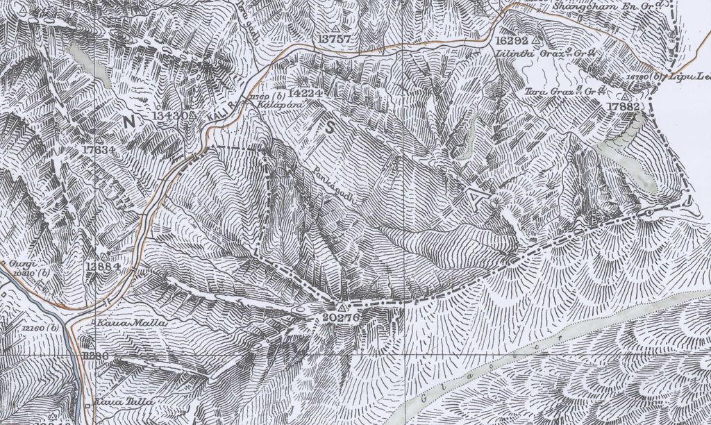
Lipulekh La, Lipulekh Pass or Lipu Gad as called in Kumaoni is a Himalayan pass at the border between Kumaon, India and Tibet region held by China. The Old Lipulekh Peak or Old Lipulekh Pass, a Mount Kailash viewing point at 17,500 ft elevation, lies west of Lipulekh Pass. The Lipulekh pass is near the trading town of Taklakot (Purang) in Tibet and has been used since ancient times by traders, mendicants and pilgrims transiting between India and Tibet. It is also used by pilgrims to Kailas and Manasarovar. It is reached by the Pithoragarh-Lipulekh Pass Highway (PLPH), and a spur from Nabhidhang (Nabidhang) runs along a glaciated river to Om Parvat. Mount Kailash in Tibet can be viewed from India from the Old Lipulekh Peak (via NH-9 motorable till the pass) which lies northeast of Gunji and the Limpiyadhura Pass (via Kuthi Valley) which lies northwest of Gunji. The Kali River (Sharda River) rises from the Limpiyadhura northeast of Gunji and flows by the KMVN Huts (Kumaon Mandal Vikas Nigam resort) at Nabhidhang (a fork route from Nabhidhang goes southeast along the glaciated rivulet to Om Parvat), ITBP Base Camp, Indian Forest Police Checkpost to Gunji.
We use GPS information embedded into the photo when it is available.
3D mountains overlay
Adjust mountain panorama to perfectly match your photos because recorded by camera photo position might be imprecise.
Move tool
Rotate tool
Zoom
More customization
Choose which peak labels should make into the final photo and what photo title should be.
Next
Photo Location
Satellitte
Flat map
Relief map
Latitude
Longitude
Altitude
OR
Latitude
°'''
Longitude
°'''
Apply
Register Peak
Peak Name
Latitude
Longitude
Altitude
Register
Teleport
PeakVisor
This 3D model of Sagarmatha National Park in Nepal was made using the PeakVisor app topographic data. The mobile app features higher precision models worldwide, more topographic details, and works offline. Download PeakVisor maps today.
Download OBJ model
PeakVisor
The download should start shortly. If you find it useful please consider supporting the PeakVisor app.
PeakVisor for iOS and Android
Be a superhero of outdoor navigation with state-of-the-art 3D maps and mountain identification in the palm of your hand!