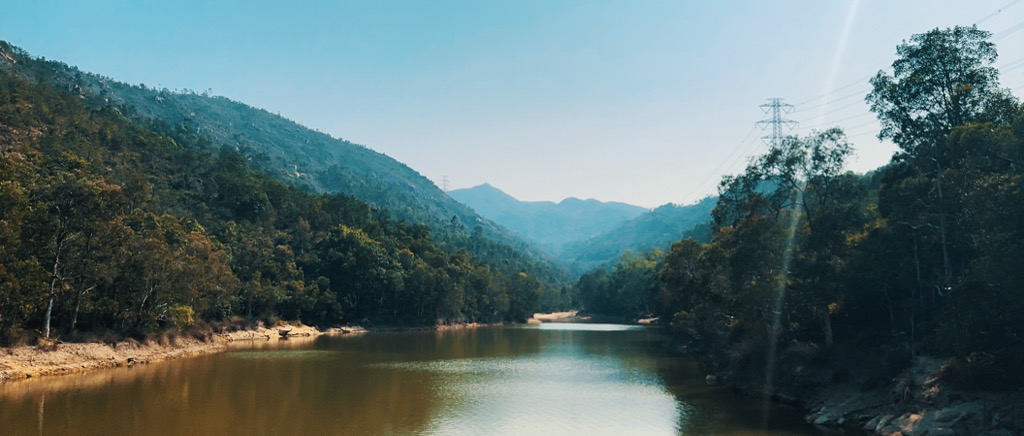
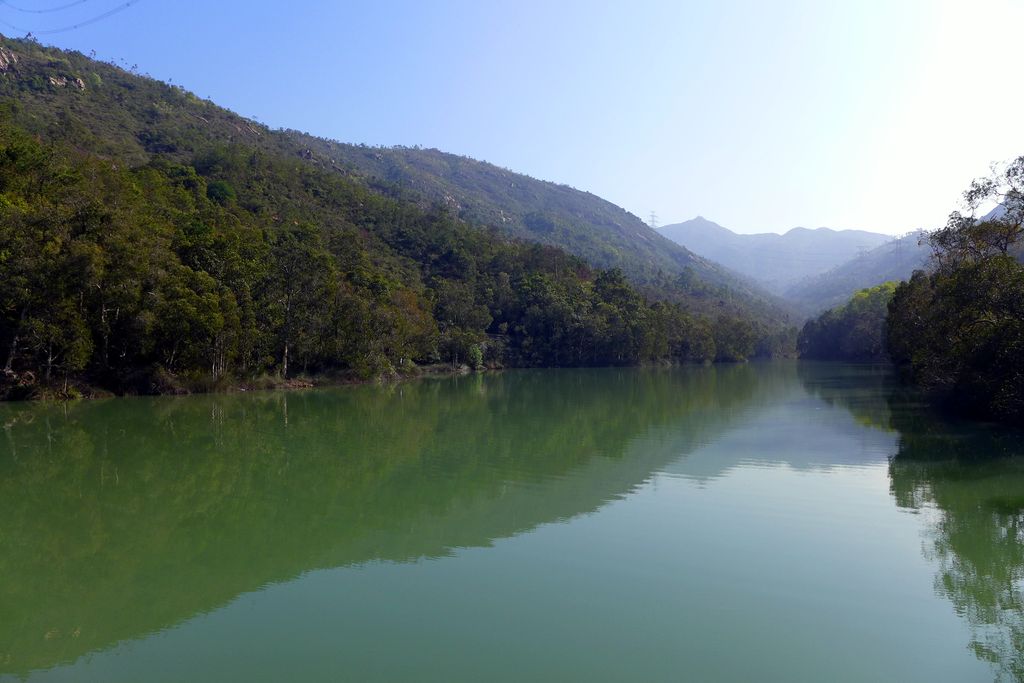
Lam Tei Reservoir (also known as Lo Fu Hang Reservoir or Lam Tei Irrigation Reservoir) is a funnel-shaped reservoir located at the back hill of Lingnan University in Fu Tei, Tuen Mun, Hong Kong with an area of 17,000 m2 and a water storage capacity of 116,000 m3. It is located at the western edge of Tai Lam Country Park and less than one kilometre away from Hung Shui Hang Reservoir. Like Hung Shui Hang Reservoir, it is part of Tai Lam Chung Reservoir's further water supply plan and an irrigation reservoir. The water from the reservoir eventually flows through the Tuen Mun River and empties into the Castle Peak Bay. The reservoir can be accessed by Stage 2 of the Tuen Mun Trail.
We use GPS information embedded into the photo when it is available.
3D mountains overlay
Adjust mountain panorama to perfectly match your photos because recorded by camera photo position might be imprecise.
Move tool
Rotate tool
Zoom
More customization
Choose which peak labels should make into the final photo and what photo title should be.
Next
Photo Location
Satellitte
Flat map
Relief map
Latitude
Longitude
Altitude
OR
Latitude
°'''
Longitude
°'''
Apply
Register Peak
Peak Name
Latitude
Longitude
Altitude
Register
Teleport
PeakVisor
This 3D model of Sagarmatha National Park in Nepal was made using the PeakVisor app topographic data. The mobile app features higher precision models worldwide, more topographic details, and works offline. Download PeakVisor maps today.
Download OBJ model
PeakVisor
The download should start shortly. If you find it useful please consider supporting the PeakVisor app.
PeakVisor for iOS and Android
Be a superhero of outdoor navigation with state-of-the-art 3D maps and mountain identification in the palm of your hand!