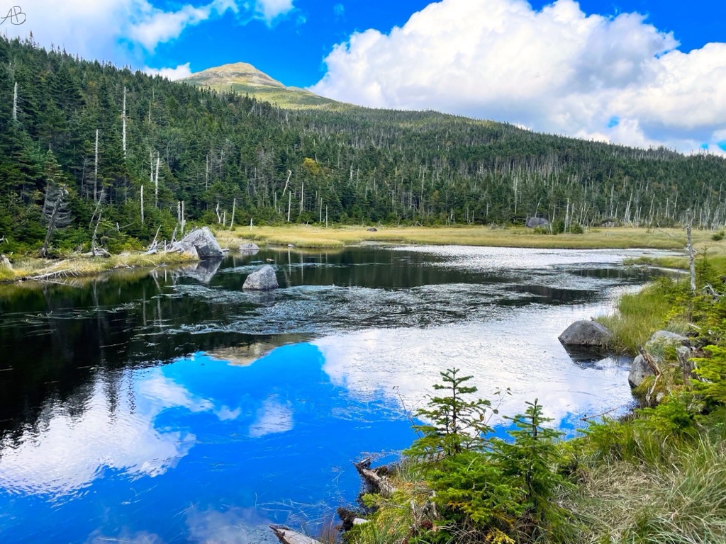
Lake Tear of the Clouds is a small tarn located in the town of Keene, in Essex County, New York, United States, on the southwest slope of Mount Marcy, the state's highest point, in the Adirondack Mountains. It is the highest pond in the state at 4,293 feet (1,309 m). It is often cited as the highest source of the Hudson River, via Feldspar Brook, the Opalescent River and Calamity Brook. The Hudson River as named actually begins several miles southwest at the outlet of Henderson Lake in Newcomb, New York. In 1872 Verplanck Colvin described the lake as part of a survey of the Adirondack Mountains. He wrote: Far above the chilly waters of Lake Avalanche at an elevation of 4,293 feet lies summit water, a minute, unpretending, tear of the clouds — as it were — a lovely pool shivering in the breezes of the mountains and sending its limpid surplus through Feldspar Brook to the Opalescent River, the well-spring of the Hudson. On September 14, 1901, then-US Vice President Theodore Roosevelt was at Lake Tear of the Clouds after returning from a hike to the Mount Marcy summit when he received a message informing him that President William McKinley, who had been shot two weeks earlier but was expected to survive, had taken a turn for the worse. Roosevelt hiked down the mountain back to the Upper Tahawus Club, Tahawus, New York, where he had been staying. He then took a 40-mile (64 km) midnight stage coach ride through the Adirondacks to the Adirondack Railway station at North Creek, New York, where he discovered that McKinley had died. Roosevelt took the train to Buffalo, New York, where he was officially sworn in as President. The route is now designated the Roosevelt-Marcy Trail. In August 2016, scientists from Riverkeeper, CUNY Queens College, and Columbia University's Lamont–Doherty Earth Observatory gathered water samples at the lake to complete a first-of-its kind water quality test along the entire span of the 315-mile-long (507 km) Hudson River.
We use GPS information embedded into the photo when it is available.
3D mountains overlay
Adjust mountain panorama to perfectly match your photos because recorded by camera photo position might be imprecise.
Move tool
Rotate tool
Zoom
More customization
Choose which peak labels should make into the final photo and what photo title should be.
Next
Photo Location
Satellitte
Flat map
Relief map
Latitude
Longitude
Altitude
OR
Latitude
°'''
Longitude
°'''
Apply
Register Peak
Peak Name
Latitude
Longitude
Altitude
Register
Teleport
PeakVisor
This 3D model of Sagarmatha National Park in Nepal was made using the PeakVisor app topographic data. The mobile app features higher precision models worldwide, more topographic details, and works offline. Download PeakVisor maps today.
Download OBJ model
PeakVisor
The download should start shortly. If you find it useful please consider supporting the PeakVisor app.
PeakVisor for iOS and Android
Be a superhero of outdoor navigation with state-of-the-art 3D maps and mountain identification in the palm of your hand!