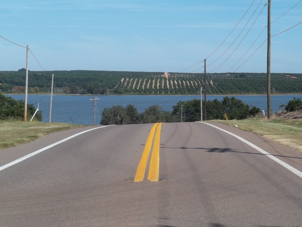
Lake Moody is a natural freshwater lake with a 409-acre (1,660,000 m2) surface area. Shaped somewhat like a flint arrowhead, Lake Moody is in an area of sparse residential development. A scattering of residences, as well as citrus groves, are on the south side of the lake along South Lake Moody Road. On the west side the lake is bordered by the Scenic Route of Highway 17. A few residences line the west side of the highway and the shore on west side is all private property. Most of the area along the highway is bordered by citrus groves. North Lake Moody Road borders the northwest part of the lake. The shore borders much of the road right-of-way on this road. Lake Moody is bordered on the northeast by citrus groves and some swampy areas of ground. A railroad line, more swamp and citrus groves line the east shore. This lake is in a very hilly rural area consisting of cattle grazing land and citrus groves. The town of Frostproof, Florida, is about 0.5 miles (0.80 km) to the south and Lake Leonore is about 1,500 feet (460 m) to the northeast. This lake has no public swimming area or boat ramp. Fishing may be done along North Lake Moody Road. The Hook and Bullet website says Lake Moody contains black drum, bigmouth buffalo and Atlantic salmon.
We use GPS information embedded into the photo when it is available.
3D mountains overlay
Adjust mountain panorama to perfectly match your photos because recorded by camera photo position might be imprecise.
Move tool
Rotate tool
Zoom
More customization
Choose which peak labels should make into the final photo and what photo title should be.
Next
Photo Location
Satellitte
Flat map
Relief map
Latitude
Longitude
Altitude
OR
Latitude
°'''
Longitude
°'''
Apply
Register Peak
Peak Name
Latitude
Longitude
Altitude
Register
Teleport
PeakVisor
This 3D model of Sagarmatha National Park in Nepal was made using the PeakVisor app topographic data. The mobile app features higher precision models worldwide, more topographic details, and works offline. Download PeakVisor maps today.
Download OBJ model
PeakVisor
The download should start shortly. If you find it useful please consider supporting the PeakVisor app.
PeakVisor for iOS and Android
Be a superhero of outdoor navigation with state-of-the-art 3D maps and mountain identification in the palm of your hand!