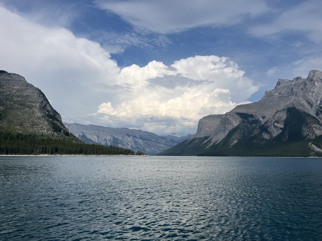
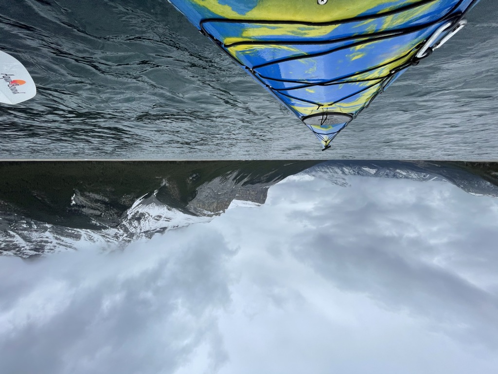
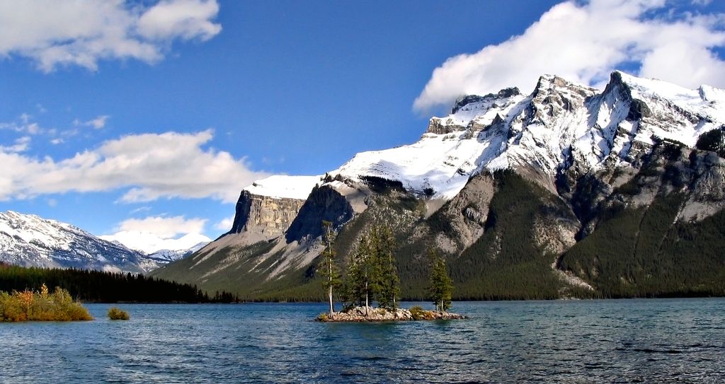
Lake Minnewanka ( ) ("Water of the Spirits" in Nakoda) is a glacial lake in the eastern area of Banff National Park in Canada, about five kilometres (3.1 miles) northeast of the Banff townsite. The lake is 21 km (13 mi) long and 142 m (466 ft) deep, making it the 2nd longest lake in the mountain parks of the Canadian Rockies (the result of a power dam at the west end). The lake is fed by the Cascade River, flowing east of Cascade Mountain, and runs south through Stewart Canyon as it empties into the western end of the lake. Numerous streams flowing down from Mount Inglismaldie, Mount Girouard and Mount Peechee on the south side of the lake also feed the lake. Aboriginal people long inhabited areas around Lake Minnewanka, as early as 10,000 years ago, according to stone tools and a Clovis point spearhead discovered by archaeologists. The area is rich in animal life (e.g. elk, mule deer, bighorn sheep, bears) and the easy availability of rock in the mountainous terrain was key to fashioning weapons for hunting. The western end of the lake can be reached by following Lake Minnewanka road from the Trans-Canada Highway. Boat tours are available near the parking lot. A hiking and mountain biking trail runs along the northern shore of the lake, passing Stewart Canyon and six backcountry campsites. Mount Aylmer which at 3,162 m (10,374 ft) is the highest mountain in this area of the park, is located a few kilometres north of the lake. The first dam was built in 1912 only to store water. While the National Parks Act was suspended during World War II the much larger embankment dam that still exists was constructed in 1941 and raised the lake 30 m (98 ft). This resulted in the resort village of Minnewanka Landing, which had been there since 1888, being submerged and the Cascade River being diverted away from its old course, resulting in much of the riverbed downstream of the dam running dry for most of the year (except in rare high-water events when the dam's spillway is opened). Most water from the Cascade River is diverted into Two Jack Lake, where it enters a 4-kilometre-long canal. From there it is funnelled into a pair of penstocks feeding two generators in the Cascade Powerhouse with a combined capacity of 34 MW. The facility is owned by TransAlta and supplies power to the Banff Townsite. In order to increase the amount of water entering the penstocks a small diversion dam was built on the Ghost River, which diverts additional water into Lake Minnewanka from the Ghost drainage. Because of the presence of the submerged village, submerged bridge pilings, and submerged dam (the one from 1912) the lake is popular among recreational scuba divers. The construction of the dam resulted in involuntary resettlement of inhabitants from the reservoir area.
We use GPS information embedded into the photo when it is available.
3D mountains overlay
Adjust mountain panorama to perfectly match your photos because recorded by camera photo position might be imprecise.
Move tool
Rotate tool
Zoom
More customization
Choose which peak labels should make into the final photo and what photo title should be.
Next
Photo Location
Satellitte
Flat map
Relief map
Latitude
Longitude
Altitude
OR
Latitude
°'''
Longitude
°'''
Apply
Register Peak
Peak Name
Latitude
Longitude
Altitude
Register
Teleport
PeakVisor
This 3D model of Sagarmatha National Park in Nepal was made using the PeakVisor app topographic data. The mobile app features higher precision models worldwide, more topographic details, and works offline. Download PeakVisor maps today.
Download OBJ model
PeakVisor
The download should start shortly. If you find it useful please consider supporting the PeakVisor app.
PeakVisor for iOS and Android
Be a superhero of outdoor navigation with state-of-the-art 3D maps and mountain identification in the palm of your hand!