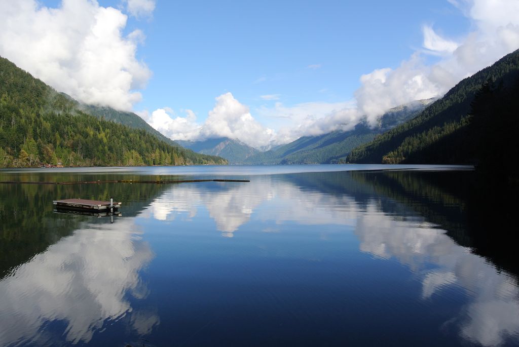
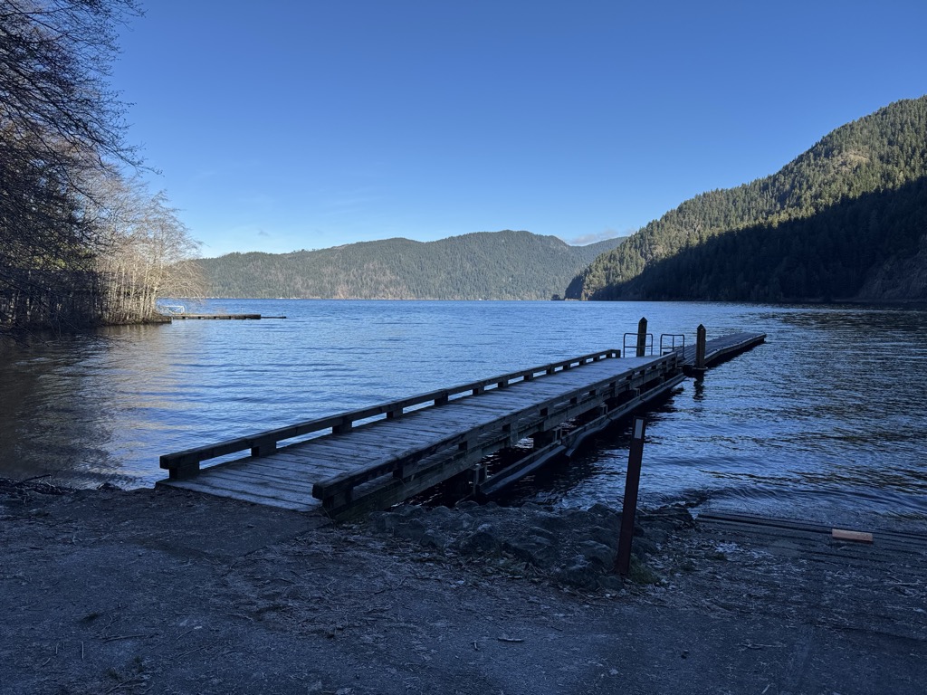
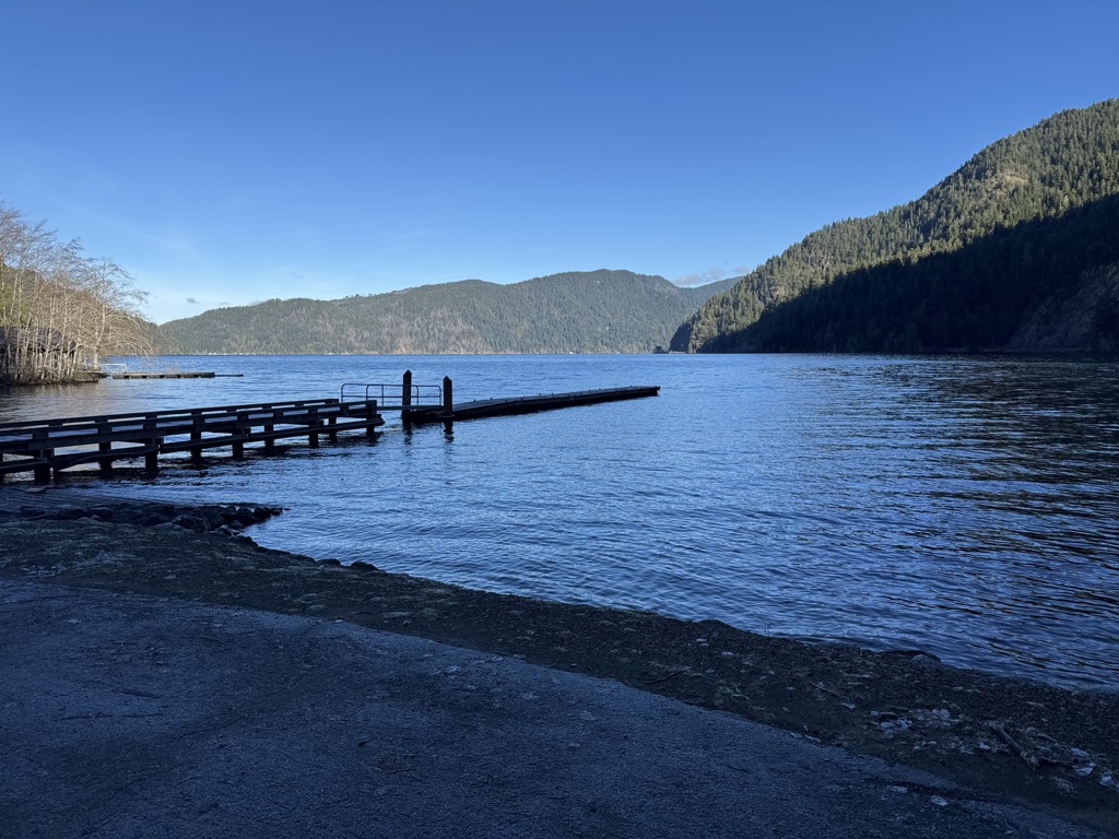
Lake Crescent is a deep lake located entirely within Olympic National Park in Clallam County, Washington, United States, approximately 17 miles (27 km) west of Port Angeles on U.S. Route 101, near the small community of Piedmont. With an official maximum depth of 624 feet (190 m), it is officially the second deepest lake in the state of Washington (after Lake Chelan). A lake-wide bathymetric survey was performed from 2013 to 2014 by Eian Ray and Jeff Engea and the results of this survey show the maximum depth as being 596 feet (182 m). Using GIS statistical analysis, this survey also estimated that the lake contains around 0.5 cubic miles (2.1 km3) of fresh water. Lake Crescent is known for brilliant blue waters and exceptional clarity caused by low levels of nitrogen in the water that inhibit the growth of algae. The lake is located in a popular recreational area and features several trails, including the Spruce Railroad Trail, Pyramid Mountain trail, and the Barnes Creek trail to Marymere Falls. The Spruce Railroad Trail follows the grade of what was once the tracks of a logging railroad along the shores of the lake. By following this trail on the north side of the lake one can find the entrance to an old railroad tunnel that is now part of the Spruce Railroad Trail, providing access to "Devils Punch Bowl", a popular swimming and diving area.
We use GPS information embedded into the photo when it is available.
3D mountains overlay
Adjust mountain panorama to perfectly match your photos because recorded by camera photo position might be imprecise.
Move tool
Rotate tool
Zoom
More customization
Choose which peak labels should make into the final photo and what photo title should be.
Next
Photo Location
Satellitte
Flat map
Relief map
Latitude
Longitude
Altitude
OR
Latitude
°'''
Longitude
°'''
Apply
Register Peak
Peak Name
Latitude
Longitude
Altitude
Register
Teleport
PeakVisor
This 3D model of Sagarmatha National Park in Nepal was made using the PeakVisor app topographic data. The mobile app features higher precision models worldwide, more topographic details, and works offline. Download PeakVisor maps today.
Download OBJ model
PeakVisor
The download should start shortly. If you find it useful please consider supporting the PeakVisor app.
PeakVisor for iOS and Android
Be a superhero of outdoor navigation with state-of-the-art 3D maps and mountain identification in the palm of your hand!


.jpg)