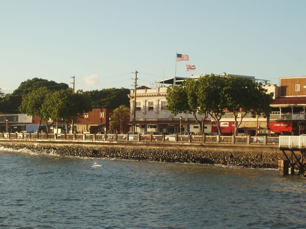
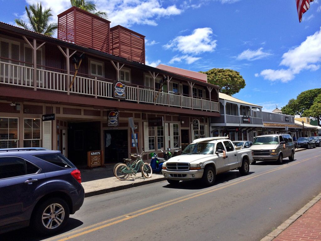
Lahaina (Hawaiian: Lahaina, Hawaiian: [ləˈhɐjnə], ) is a census-designated place (CDP) in Maui County, Hawaii, United States. On the northwest coast of the island of Maui, it encompasses Lahaina town and the Kaanapali and Kapalua beach resorts. As of the 2020 census, Lahaina had a resident population of 12,702. The CDP spans the coast along Hawaii Route 30 from a tunnel at the south end, through Olowalu, and to the CDPs of Kaanapali and Napili-Honokowai to the north. On August 8–9, 2023, a wildfire destroyed approximately 80% of Lahaina. As of February 14, 2024, 101 deaths have been confirmed and two people remain missing.
We use GPS information embedded into the photo when it is available.
3D mountains overlay
Adjust mountain panorama to perfectly match your photos because recorded by camera photo position might be imprecise.
Move tool
Rotate tool
Zoom
More customization
Choose which peak labels should make into the final photo and what photo title should be.
Next
Photo Location
Satellitte
Flat map
Relief map
Latitude
Longitude
Altitude
OR
Latitude
°'''
Longitude
°'''
Apply
Register Peak
Peak Name
Latitude
Longitude
Altitude
Register
Teleport
PeakVisor
This 3D model of Sagarmatha National Park in Nepal was made using the PeakVisor app topographic data. The mobile app features higher precision models worldwide, more topographic details, and works offline. Download PeakVisor maps today.
Download OBJ model
PeakVisor
The download should start shortly. If you find it useful please consider supporting the PeakVisor app.
PeakVisor for iOS and Android
Be a superhero of outdoor navigation with state-of-the-art 3D maps and mountain identification in the palm of your hand!