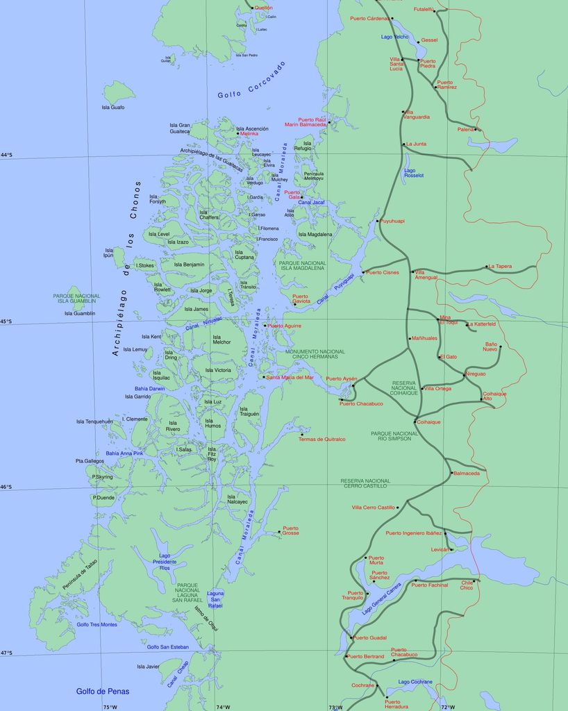
Presidente Ríos Lake (Spanish pronunciation: [pɾesiˈðente ˈri.os]) is located in the Aysén del General Carlos Ibáñez del Campo Region of Chile. It lies in the middle of the Taitao Peninsula. While the lake's existence only became known in Chile in 1945, it appears to have been known by Chono natives, who led 19 survivors of HMS Wager (including Captain David Cheap and Midshipman John Byron) from Wager Island through it in 1742. The Chonos, who often had a hostile relationship with the Spanish, kept the lake secret from them despite serving the Spanish as maritime pilots. Despite official discovery in 1945, the lake was already known to seafarers from Chiloé.
We use GPS information embedded into the photo when it is available.
3D mountains overlay
Adjust mountain panorama to perfectly match your photos because recorded by camera photo position might be imprecise.
Move tool
Rotate tool
Zoom
More customization
Choose which peak labels should make into the final photo and what photo title should be.
Next
Photo Location
Satellitte
Flat map
Relief map
Latitude
Longitude
Altitude
OR
Latitude
°'''
Longitude
°'''
Apply
Register Peak
Peak Name
Latitude
Longitude
Altitude
Register
Teleport
PeakVisor
This 3D model of Sagarmatha National Park in Nepal was made using the PeakVisor app topographic data. The mobile app features higher precision models worldwide, more topographic details, and works offline. Download PeakVisor maps today.
Download OBJ model
PeakVisor
The download should start shortly. If you find it useful please consider supporting the PeakVisor app.
PeakVisor for iOS and Android
Be a superhero of outdoor navigation with state-of-the-art 3D maps and mountain identification in the palm of your hand!