Get PeakVisor App
Sign In
Search by GPS coordinates
- Latitude
- ° ' ''
- Longitude
- ° ' ''
- Units of Length

Yes
Cancel
❤ Wishlist ×
Choose
Delete
Sparse in population but rich in natural beauty, Chile’s Aysén Region is home to a quickly-growing adventure and ecotourism due to its pristine, untouched nature. The region is Chile’s least populated, in fact, but the third largest in area, allowing for such natural beauty to thrive. From mountains and glaciers and valleys to forests and shrublands to lagoons and archipelagos, Aysén is an ideal place to witness the dramatic landscape of Patagonia.
With regards to mountains, Aysén is home to 669 named peaks, from the Andes in the east to islands on the west. The highest and most prominent peak among them is Monte San Valentín, at 4,070m/13,353ft above sea level with 3,713m/12,182ft of prominence, likewise deeming it the highest mountain in Chilean Patagonia.
The Aysén Region is the third largest of Chile’s regions by area, taking up around 108,494.4 km2/41,889.9mi2 in the southern half of the country. To its north is the Los Lagos Region, with the Magallanes Region to the south, and the east split between two Argentinian provinces, Santa Cruz to the south, and Chubut to the north.
Like most Chilean regions, Aysén sits between the Pacific Ocean to its west, and the Andes Mountains to its east. Generally, Aysén is a cool oceanic climate, which is characterized by windiness, abundant precipitation, and low temperatures. There are, however, climatic differences depending on elevation and proximity to the coasts or the mountains.
Some of its most notable peaks among many include the aforementioned Monte San Valentín, Cerro Arenales, Cerro Mellizo Sur, and Monte San Lorenzo o Cochrane, and its peaks, including mountains, hills, and volcanoes, are dispersed well throughout the whole region, though of course with a heavy presence around the Andes.
The Andes environment in the east is dominated by cold steppe, where precipitation is much lower than elsewhere in Aysén and primarily occurs from May to August, where it is not unusual to witness snowfall. The eastern part of the region also receives less cloud cover, providing more clear skies than seen on the western coast.

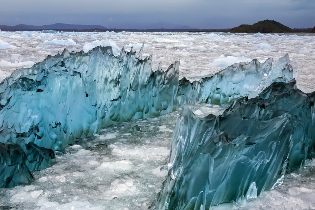
A history of glaciation has resulted in numerous fjords, lakes, channels, and ice fields, as the region contains the Northern Patagonian Ice Field in its entirety, and the northern tip of the Southern Patagonian Ice Field. These high-altitude ice fields maintain their cold year-round and receive intense precipitation and wind. The region’s geological history has also resulted in the creation of the vast Chacabuco Valley.
The coastal areas of Aysén consist of the mainland coast, peninsulas, and archipelagos. In the north are the Guaitecas and Chonos Archipelagos with the Taitao peninsula just below it. Further south, past the Gulf of Penas, is the Guayaneca Archipelago. Among these areas, cloud cover is frequent, precipitation is particularly abundant, especially during winter, and the climate is cool and temperate, with annual temperatures hovering between 8 to 9°C/46.4 to 48.2°F.
Administratively, Aysén contains 4 provinces (Aysén, Capitán Prat, Coyhaique, and General Carrera) that are each divided into communes, for a total of 10 communes within the region. The capital of Aysén, Coyhaique, is located in its eponymous province, at the foot of the Patagonias, and was also once the namesake of the region itself.
One of the defining features of Aysén is the Northern Patagonian Ice Field, a remnant of the Patagonian Ice sheet that, during the Quaternary glaciations, extended all throughout Chilean Patagonia and into neighboring Argentina. The Southern Patagonian Ice Field is likewise a vestige of the Patagonian Ice Sheet, albeit bigger than its northern counterpart.

The high elevation of the Northern ice field, uplifted from a crustal fault block, helps keep it alive in the face of glacial retreat, though some of its 28 exit glaciers almost hit sea level by the Pacific Ocean. Fault zones surrounding the area, including Liquiñe-Ofqui Fault Zone, the Cachet Fault, and the Exploradores Fault Zone.
One of the most notable geological features is the so-called Marble Cathedral on the shore of General Carrera Lake, recognized as a Chilean national monument. The complex of caverns and islets formed from the lake’s water eroding rocks and exposing the shining marble within.
Among the Chonos Archipelago is the Chonos Metamorphic Complex, an accretionary complex of Triassic sediments metamorphosed in the Jurassic. At the Taitao Peninsula is the Chaicayán Group, consisting of sandstones, siltstones, and conglomerates dating back to around the Miocene age.
Around that coastal area, the Nazca, Antarctic, and South American plates converge into the Chile Triple Junction, particularly at the Taitao peninsula. This convergence resulted in the subsidence of the South American plate’s edge and thus the formation of the many islands and archipelagos off Aysén’s coast. Many of these islands, like Isla Javier and the Guayaneco archipelago, are dated back to the Tertiary period, and are of primarily igneous origin.
Aysén is also home to several volcanoes with the Southern Volcanic Zone of the Andean Volcanic Belt, formed from the subduction of the Nazca plate under the South American plate along the Atacama trench. There is also the Traiguén Formation, a volcano-sedimentary formation of tuff, basaltic pillow lava, shale, breccia, and sandstone that dates back to the Miocene. This is but one of numerous geologic formations in Aysén, many of which result from the North or South Patagonian Batholiths.
The Toqui Formation, near the Andes, is a Late Jurassic formation of sedimentary and volcanic rocks like tuffite, conglomerate, sandstone, and ignimbrite, and is also one of the main formations of the Coyhaique group of geological formations. Also along the Andes is the pyroclastic and lava-made Divisadero Group, and the Río Frías Formation of the Middle Miocene, consisting of largely similar lithology and the site of many mammalian fossils.
Eastern Aysén is home to a variety of ecosystems, owing to the intense differences in elevation from the Andes and its foothills. Patagonia National Park is well representative of these ecoregions, containing significant deciduous forests, steppes, grasslands, and wetlands.

The dry, cold grasslands consist mainly of shrubs like quilembay and calafeta or grasses like flechilla, supporting gray foxes, armadillos, burrowing owls, tuco-tucos, eagles, and hawks. The forests are populated by lenga and ñirre, and are where red foxes, pumas, huemul deer, bats, and a large variety of birds, amphibians, and reptiles can be found. The guanaco is one of the most abundant animals throughout the Patagonian region.
Aysén is also one of the Chilean regions to house the Valdivian temperate broadleaf and mixed rain forest, where dense fern and bamboo understories and canopies of evergreens and conifers result in unique communities of plants and animals. The southern pudú, colocolo opossum, kodkod, are some of the unique animals to be found there, alongside large populations of hummingbirds.
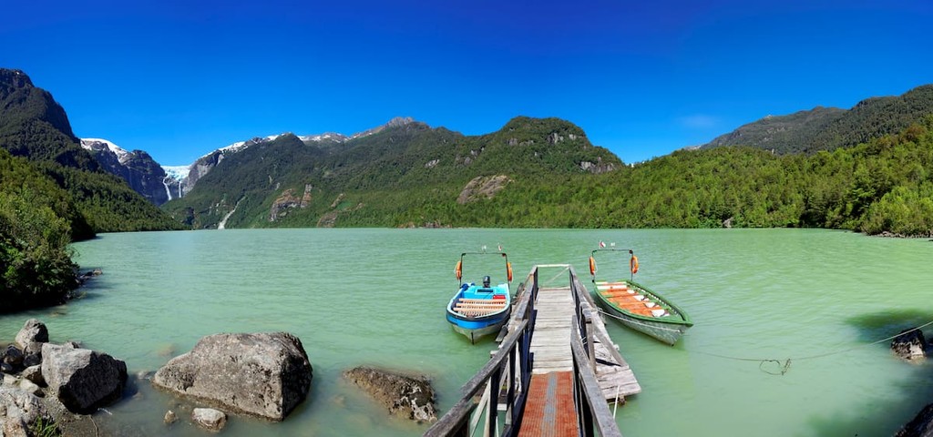
The lakes and surrounding areas of Aysén offer much diversity in avifauna, where birds such as herons, black-necked swans, turtle doves, Magellan goose, and eared doves.
Many of the plants in the Valdivian forests are endemic or generally unique to the region. Chilean bamboo, Chilean rhubarb, southern beeches, coigue, tepa, ulmo, and copihue, Chile’s national flower, are just some of the plant species to be seen in these forests.
The coast and islands of Aysén, like the Chonos and Guaitecas, are marked by an abundance of cypress trees, interspersed with shrubland and peatland. Where there are hills and peaks, however, the slopes often beget denser forests.
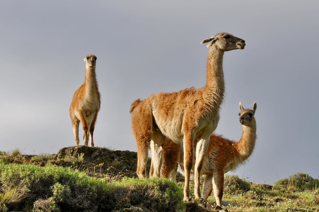
Isla Javier is one such island, and on it animals like otters, kingfishers, thrushes, swans, foxes, rodents, and marine life like spider crabs, sea urchins, snooks, Chilean silverside, and tilefish form a selection of the wildlife. Along the gulf and Pacific coast, marine life is abundant, both of local species and, on occasion, larger fauna like passing blue whales (best seen on Isla Guamblin) and sheltering sea lions.
For thousands of years, the lands that would become Aysén were inhabited by a variety of prehispanic peoples, with evidence suggesting first human settlement in the region some 12,000-9,000 years ago as a result of eastward migration on the continent. Such movement would continue for thousands of years, resulting in several different groups establishing a presence in the area.
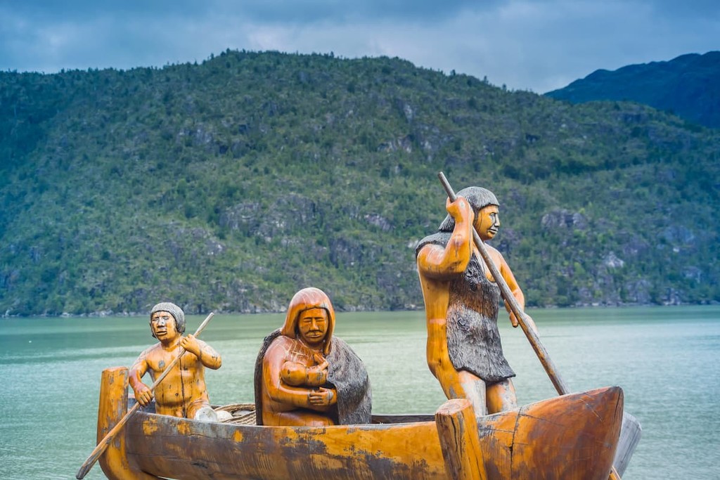
The Chono and Kawésqar peoples, in particular, were some notable early inhabitants, whose presence was remarked on by the Spanish colonizers who arrived in the 1500s and 1600s, as well as that of the Tehuelche or Aónikenk people.
The remoteness of Aysén made it both less desirable for colonial expansion, with the harsh climate preventing the Spaniards from intensive settlement in the land. Eventually, they began to explore, desiring to spread Christianity to the indigenous peoples and lay further claim to this region of Chile.
This would prove disastrous to many of the indigenous peoples, as they suffered from disease, forced migrations, slave raids, and conflicts with the coming colonizers. The Kawésqar and Aónikenk people still survive today, albeit not with significant populations in Aysén, while the Chono civilization is considered extinct.
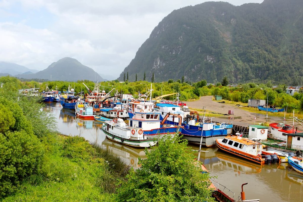
Before the Spaniards went to Aysén, however, they established settlements in the neighboring archipelago of Chiloé just north, and it was from Chiloé that fisherman, lumberjacks, hunters, and others came down to coastal Aysén and settled for new opportunities and to exploit the abundant cypress wood resources in the area.
This resulted in the first permanent settlement of the Guaitecas archipelago, Melinka, established in 1859, though the first continental settlement was said to have occurred around 1880, revolving around a cypress sawmill.
The region was also visited by several scientists and explorers interested in the area; Charles Darwin came to the region with Robert Fitz Roy in 1834-1835, and the Chilean Navy sent a few expeditions down there in the latter half of that century.
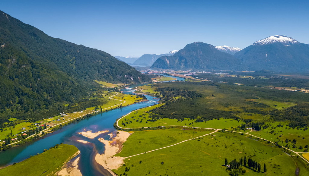
Outside of the aforementioned settlements, expeditions, and dwindling indigenous populations, interaction with the area was few and far in between. Chile, having declared its independence in 1818, did not attempt to colonize the region until the 1880s.
These attempts were short-lived due to Civil War in 1891 and border conflicts with Argentina; it wouldn’t be until the early 1900s that bigger attempts were made to settle the lands of Aysén, and even that saw conflict between colonists and the Chilean military that would erupt in the Guerra de Chile Chico in 1918.
Colonization efforts increased in the 1930s, after the Territory of Aysén was created a few years earlier in 1927. The organization of Aysén as Chilean land would be embroiled in conflict throughout the century due to changing and uncertain borders and pushback from Argentina. The Aysén Region came to be in 1974, and over the next few years it would incorporate territory that made the region into what it is known as today.
Thus, it became the last region to be part of the independent country of Chile, despite the even further south Magallanes being incorporated earlier.
As much of Aysén is dominated by parks and reserves designed to maintain the pristine Patagonian landscape, there is certainly no shortage of hiking, trekking, and climbing opportunities within its bounds. Many of these parks and other locations are best found and accessed through the Carretera Austral, a north-south highway that runs right through the entire region.
Along the coast and spanning over the Northern Patagonian Ice Field is the Laguna San Rafael National Park, named after the ice field’s San Rafael outlet glacier and the Laguna San Rafael formed by its retreat. The dramatic landscape of glaciers, fjords, lakes, rivers, and mountains, including the Monte San Valentín, Cerro Arenales, and Cerro Pared Norte, make it a stunning location for hiking and climbing.
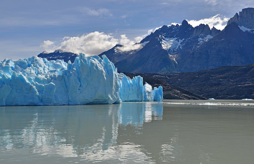
The guided ice hike across the Exploradores Glacier is one of the biggest attractions in the park due to the unique and pristine landscape. Nearby is a much shorter hike known as Mirador Glaciar Exploradores, which goes through the forest and offers views of the surrounding area. Other trails inside the park connect to various facilities and sights, and the park also provides boating trips along its coast.
Furthermore, there are many organizations that organize longer trekking and mountaineering adventures in and around the park and its famous peaks, where mountains like the aforementioned San Valentín and Cerro Arenales may be best observed.
Patagonia National Park has just recently annexed the neighboring Tamango, Lago Jeinimeni, and Lago Cochrane National Reserves, as well as other nearby areas, with some trails and facilities still in development. Nonetheless, there are already plenty of options to explore, as one of the world’s largest national parks with an endless number of destinations and sights.
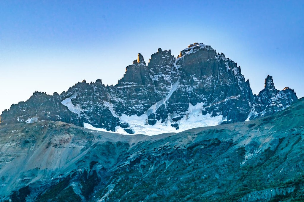
One of the most popular treks is the Lagunas Altas Trail, a 23km/14mi loop with views of Chacabuco Valley, the Northern Patagonian Ice Field, and the nearby mountains. The Avilés Loop Trail, Lago Chico Loop, and the various trails out of Mirador Douglas Tompkins likewise provide extraordinary hikes through the extraordinary Patagonian climate, though the sheer scale and developing nature of the park offers much more to explore as well.
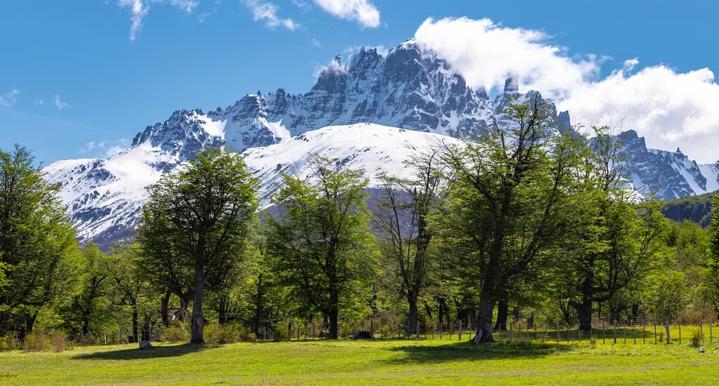
Cerro Castillo National Park sits inside the cold Andean steppe of eastern Aysén, with beautiful lagoons, forests, and towering peaks. Fully ascending its namesake Cerro Castillo is extremely rare, but many treks are offered up the mountain that nonetheless allow for magnificent vantage points along its slopes.
Several treks can be done in the park, such as Estero Parada or the extensive Las Horquetas circuit, within which is a whole system of different trails to explore. Most hikes are considered to be of medium difficulty, and though it is not mandatory, it is heavily suggested to organize a guided tour, as the trails can often be difficult to follow otherwise.
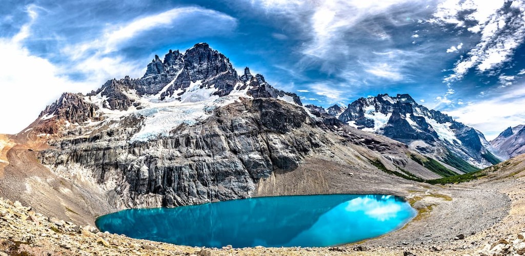
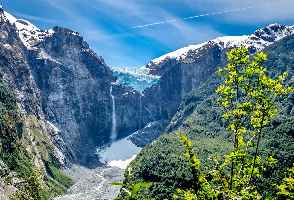
The remote Queulat National Park and its intense valleys, icefields, fjords, and jungles deem it a worthwhile location for discovering the beauty of Aysén. The main attraction in the park is its hanging glacier, or Ventisquero Colgante, a scene fit for a movie. The 3.3km/2mi trail to the glacier, through forests and rivers and valleys, is regarded as relatively easy and unfolds to incredible views of the hanging glacier.
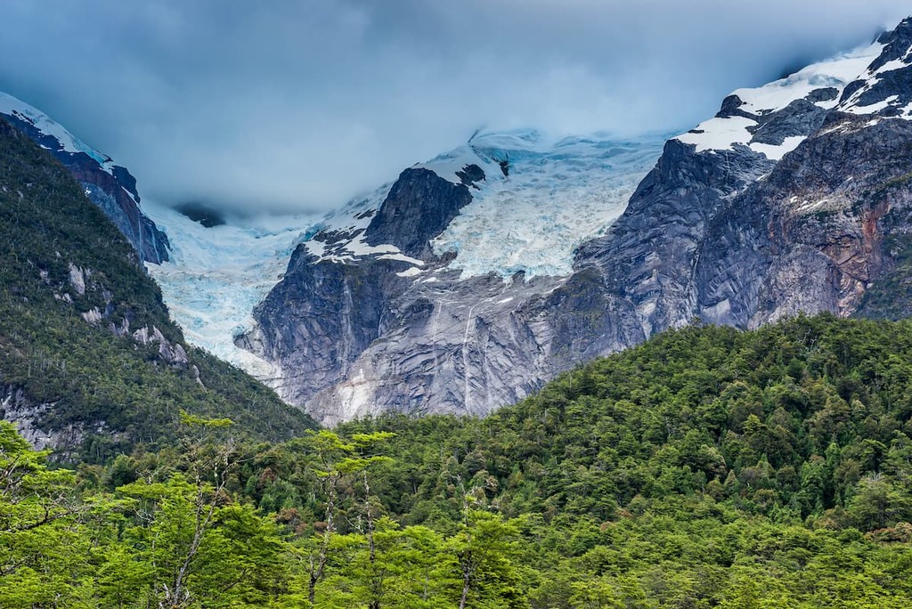
The Bosque Encantado hike through the forest and fuschias, leading to a glacial lake, and the Puma Trail through the woods to the Los Pumas Lagoon are other significant trails in the park.
Outside of the aforementioned parks, there are still many locations prime for hiking and exploring, such as:
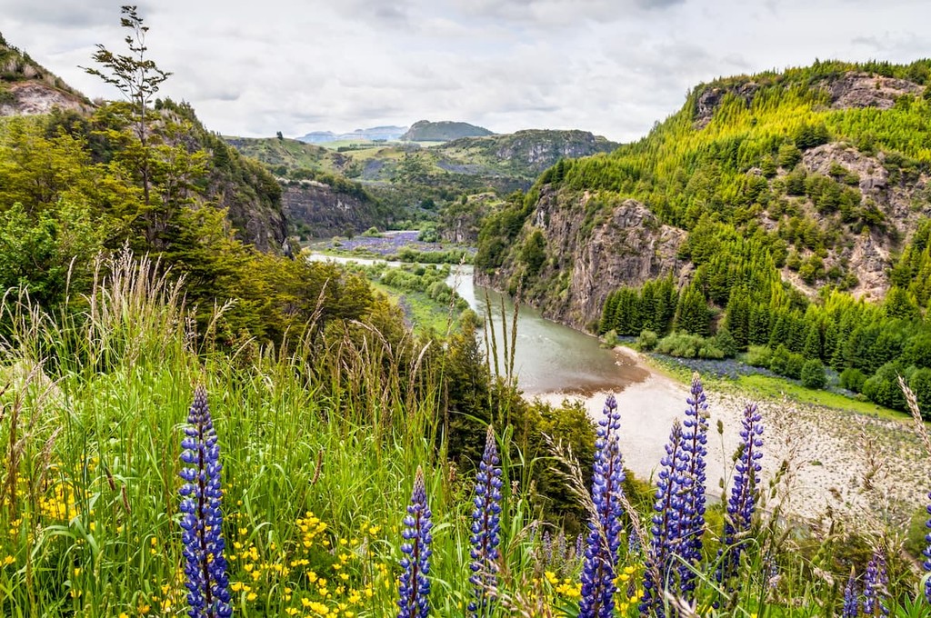
Though Aysén is not as urbanized as its northern counterparts, it nonetheless hosts cities and towns where one can find lodging, transportation, and plenty of things to see or do. While Coyhaique has the most infrastructure to support tourism, many national parks and reserves are located near smaller towns that can likewise be used as jumping off points for adventure.
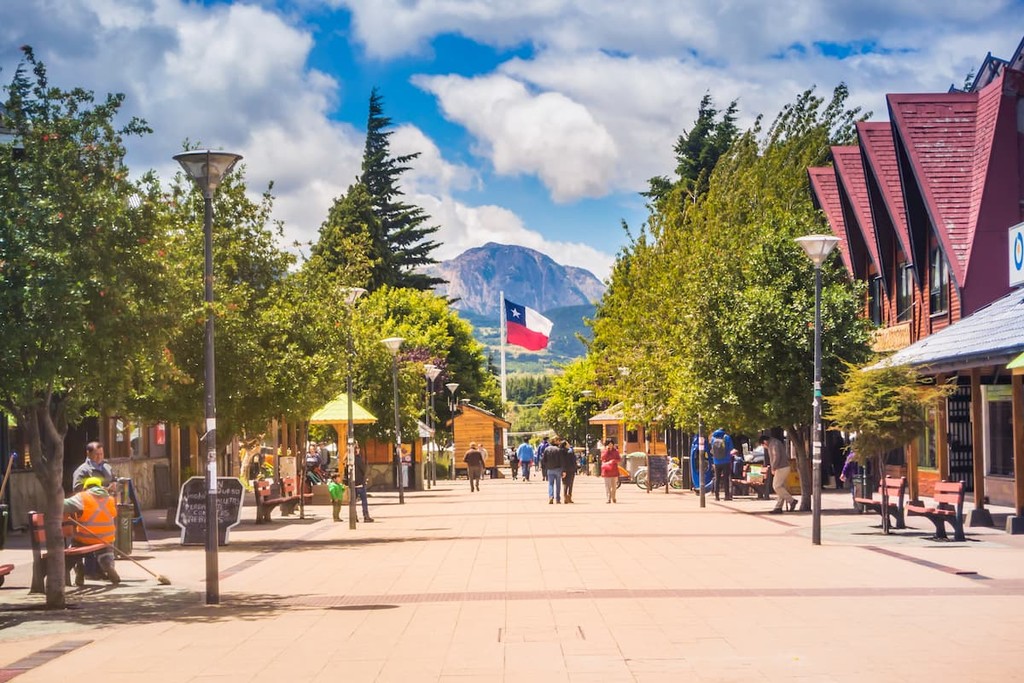
With a population of around 100,000 people, Coyhaique is by far Aysén’s most populous city, as well as its capital. The city is mainly accessed by road, particularly through the Carretera Austral, but can also be reached through the Balmaceda Airport, with connections to Santiago, and by sea through Puerto Chacabuco.
As the primary urban center in Aysén, it concentrates much of Aysén’s culture, commerce, history within its bounds; the Coyhaique Cultural Center, Regional Library and Museum, Plaza de Armas, Piedra del Indio, Handicrafts Market, Industrial Society of Aysén buildings, and Pedro Quintana Mansilla School, the last two categorized as national monuments, epitomize the city.
The other draw of the city is its proximity to many outdoor experiences and adventures, such as fly-fishing at the Simpson and Coyhaique Rivers, exploring nearby national reserves, or skiing at the El Fraile resort.
Explore XI Región Aysén del General Carlos Ibáñez del Campo with the PeakVisor 3D Map and identify its summits.


