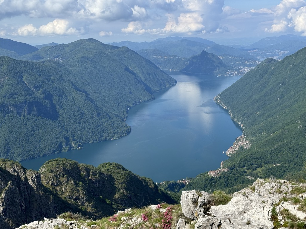
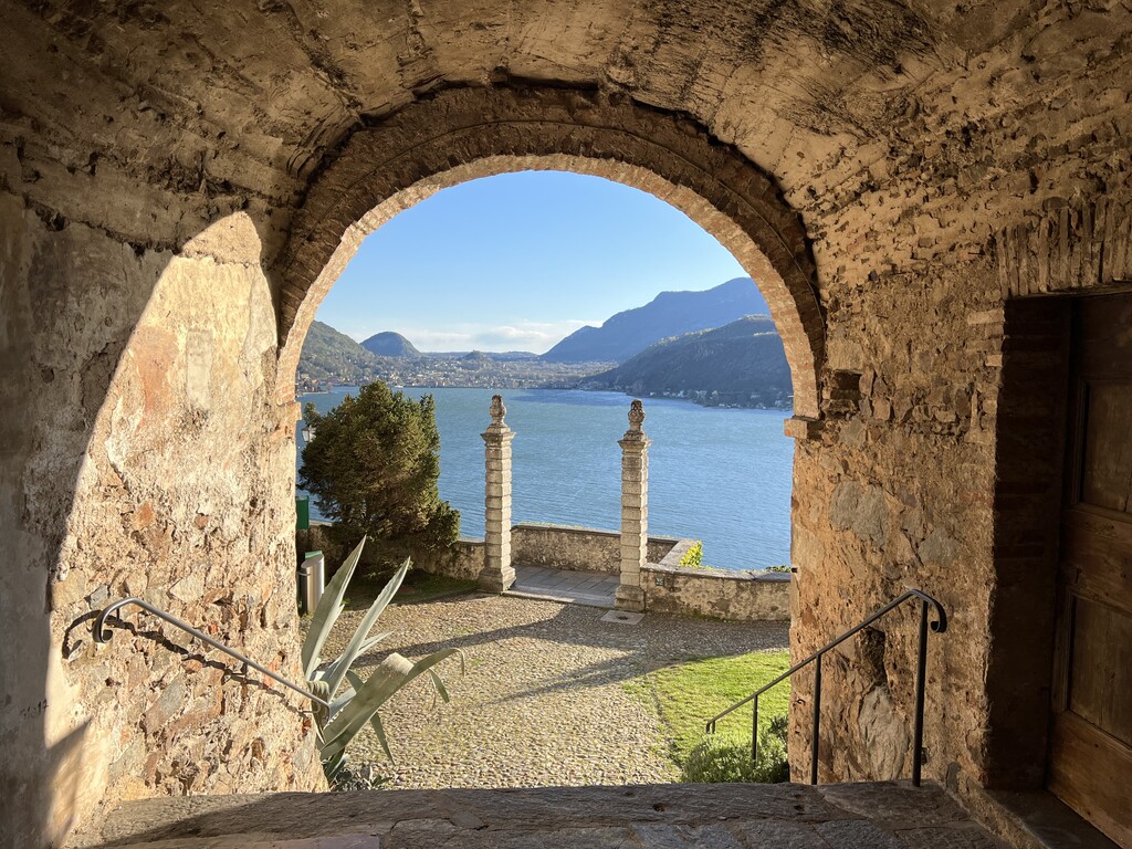
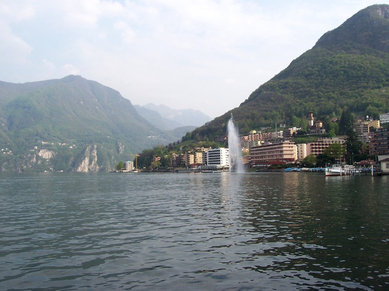
Lake Lugano (Italian: Lago di Lugano or Ceresio, from Latin: Ceresius lacus; Lombard: Lagh de Lugan) is a glacial lake which is situated on the border between southern Switzerland and northern Italy. The lake, named after the city of Lugano, is situated between Lake Como and Lago Maggiore. It was cited for the first time by Gregory of Tours in 590 with the name Ceresio, a name which is said to have derived from the Latin word cerasus, meaning cherry, and refers to the abundance of cherry trees which at one time adorned the shores of the lake. The lake appears in documents in 804 under the name Laco Luanasco. There are various mountains and tourist destinations on the shores of the lake including Monte Brè to the east, Monte San Salvatore west of Lugano, and Monte Generoso on the south-eastern shore. The World Heritage Site Monte San Giorgio is situated south of the lake. Also located to the south is the Cinque Vette Park. The lake is drained by the Tresa, which empties into Lake Maggiore, the latter being drained by the Ticino and the Po.
We use GPS information embedded into the photo when it is available.
3D mountains overlay
Adjust mountain panorama to perfectly match your photos because recorded by camera photo position might be imprecise.
Move tool
Rotate tool
Zoom
More customization
Choose which peak labels should make into the final photo and what photo title should be.
Next
Photo Location
Satellitte
Flat map
Relief map
Latitude
Longitude
Altitude
OR
Latitude
°'''
Longitude
°'''
Apply
Register Peak
Peak Name
Latitude
Longitude
Altitude
Register
Teleport
PeakVisor
This 3D model of Sagarmatha National Park in Nepal was made using the PeakVisor app topographic data. The mobile app features higher precision models worldwide, more topographic details, and works offline. Download PeakVisor maps today.
Download OBJ model
PeakVisor
The download should start shortly. If you find it useful please consider supporting the PeakVisor app.
PeakVisor for iOS and Android
Be a superhero of outdoor navigation with state-of-the-art 3D maps and mountain identification in the palm of your hand!