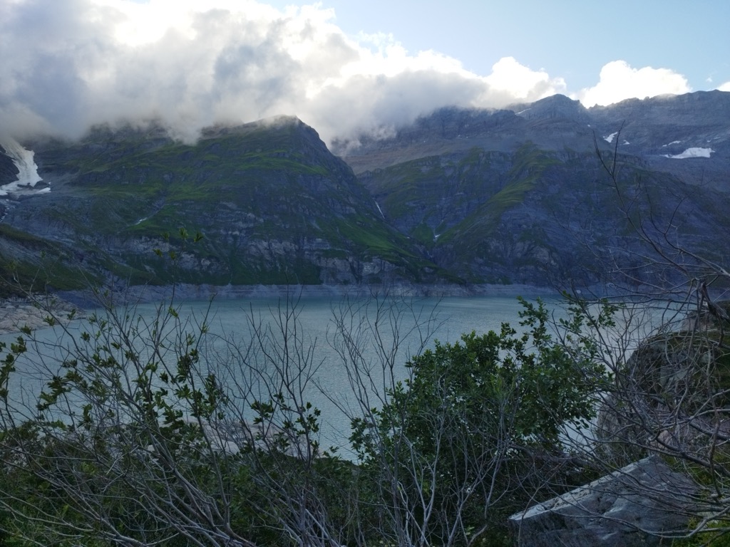
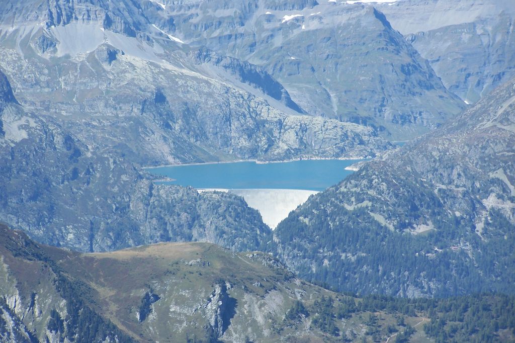
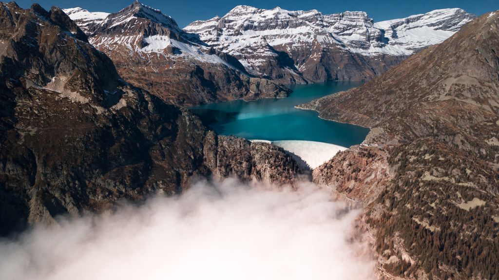
The Lac d'Émosson (Lake Émosson) is a reservoir in the canton of Valais, Switzerland. It is located in the municipalities of Salvan and Finhaut. The closest small city in Switzerland is Martigny. The lake has a surface area of 3.27 km2 and an elevation of 1,930 m. The maximum depth is 180 meters. The purpose of the Émosson Dam is hydroelectric power generation. Water from the reservoir first powers the 189 MW Vallorcine Power Station downstream and just over the border in Vallorcine, France. Water is then sent through a headrace tunnel to the 190 MW La Bâtiaz Power Station, 12 km (7 mi) to the east in Martigny, Switzerland. The drop between the dam and La Bâtiaz Power Station is 1,400 m (4,593 ft). The first dam of Émosson (also known as Barberine Dam) was built in 1925. The current dam with a height of 180 m was constructed between 1969 and August 1973 and floods the old dam. The reservoir was fully impounded on 10 September 1975, it increased the reservoir's volume from 40 million m³ to 227 million m³. The old dam can still be seen when the water level in the Lac d'Émosson is very low. The lake serves as the lower reservoir for the 900 MW Nant de Drance Hydropower Plant which began operations in 2022. In 1955, another dam was built 300m higher above the now existing lake. This lake is now known as the Lac du Vieux Émosson. The dam can be reached by road or by a funicular-train-funicular trip. The Funiculaire du Châtelard is the first used from the valley bottom, it is the steepest 2-cabin funicular railway in the world with a gradient of 87 percent. Mini-Funiculaire d'Emosson runs next to the dam with a maximum incline of 73% for a difference of elevation of 140 m.
We use GPS information embedded into the photo when it is available.
3D mountains overlay
Adjust mountain panorama to perfectly match your photos because recorded by camera photo position might be imprecise.
Move tool
Rotate tool
Zoom
More customization
Choose which peak labels should make into the final photo and what photo title should be.
Next
Photo Location
Satellitte
Flat map
Relief map
Latitude
Longitude
Altitude
OR
Latitude
°'''
Longitude
°'''
Apply
Register Peak
Peak Name
Latitude
Longitude
Altitude
Register
Teleport
PeakVisor
This 3D model of Sagarmatha National Park in Nepal was made using the PeakVisor app topographic data. The mobile app features higher precision models worldwide, more topographic details, and works offline. Download PeakVisor maps today.
Download OBJ model
PeakVisor
The download should start shortly. If you find it useful please consider supporting the PeakVisor app.
PeakVisor for iOS and Android
Be a superhero of outdoor navigation with state-of-the-art 3D maps and mountain identification in the palm of your hand!