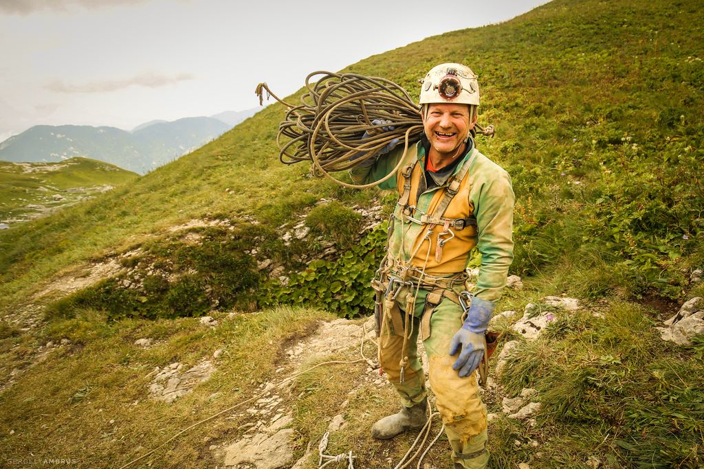
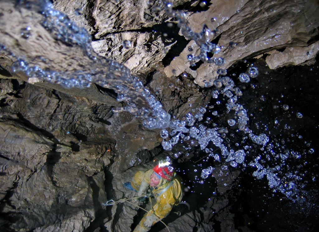
Krubera Cave (Georgian: კრუბერის გამოქვაბული or კრუბერის ღრმული, romanized: k'ruberis gamokvabuli or k'ruberis ghrmuli, Abkhaz: Ӡоу Аҳаҧы; also known as Voronya Cave, sometimes spelled Voronja Cave) is the second-deepest-known cave on Earth, after the Veryovkina Cave. It is located in the Arabika Massif of the Gagra Range of the Western Caucasus, in the Gagra District of Abkhazia, a partly recognised state, previously part of Soviet Georgia. The difference in elevation of the highest cave entrance (Arbaika) and its deepest explored point is 2,199 ± 20 metres (7,215 ± 66 ft). It became the deepest-known cave in the world in 2003 when the expedition of the Ukrainian Speleological Association reached a depth of 1,910 m (6,270 ft) which exceeded the depth of the previous deepest-known cave, Lamprechtsofen, in the Austrian Alps, by 80 metres (260 ft). In 2006, for the first time in the history of speleology, the Ukrainian Speleological Association expedition reached a depth greater than 2,000 metres (6,600 ft), and explored the cave to −2,080 m (−6,824 ft). Ukrainian diver Gennadiy Samokhin extended the cave by diving in the terminal sump to 46 metres' depth in 2007 and then to 52 m in 2012, setting successive world records of 2,191 m and 2,197 m, respectively. Krubera is one of the two known caves on Earth deeper than 2,000 metres.
We use GPS information embedded into the photo when it is available.
3D mountains overlay
Adjust mountain panorama to perfectly match your photos because recorded by camera photo position might be imprecise.
Move tool
Rotate tool
Zoom
More customization
Choose which peak labels should make into the final photo and what photo title should be.
Next
Photo Location
Satellitte
Flat map
Relief map
Latitude
Longitude
Altitude
OR
Latitude
°'''
Longitude
°'''
Apply
Register Peak
Peak Name
Latitude
Longitude
Altitude
Register
Teleport
PeakVisor
This 3D model of Sagarmatha National Park in Nepal was made using the PeakVisor app topographic data. The mobile app features higher precision models worldwide, more topographic details, and works offline. Download PeakVisor maps today.
Download OBJ model
PeakVisor
The download should start shortly. If you find it useful please consider supporting the PeakVisor app.
PeakVisor for iOS and Android
Be a superhero of outdoor navigation with state-of-the-art 3D maps and mountain identification in the palm of your hand!