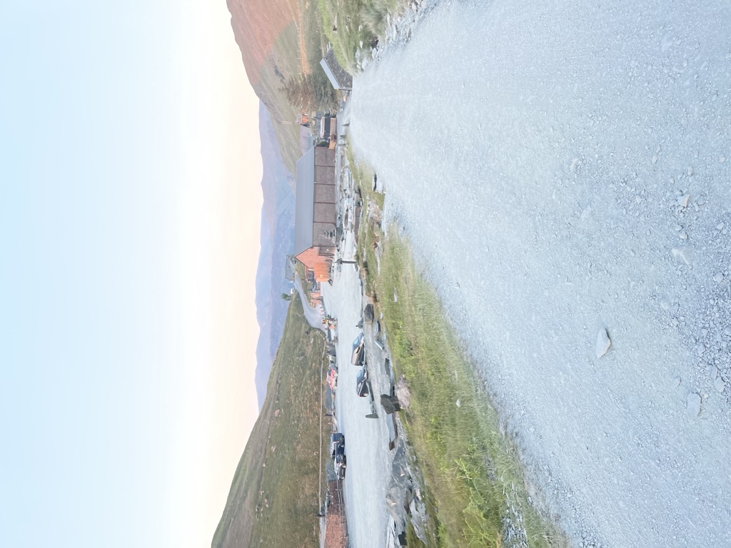
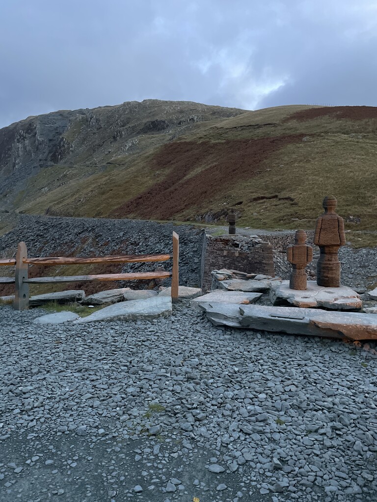
Honister Pass is a mountain pass in the Lake District in Cumbria, England. It is located on the B5289 road, linking Seatoller, in the valley of Borrowdale, to Gatesgarth at the southern end of Buttermere. The pass reaches an elevation of 1,167 feet (356 m), making it one of the highest in the region, and also one of the steepest, with gradients of up to 1-in-4 (25%). The saddle at the watershed is known as Honister Hause, using the Cumbrian word hause for such a feature. Honister Pass is one of three passes that link the tourist area around Keswick, including Derwent Water and Borrowdale, with the valley of the River Cocker, including the lakes of Buttermere, Crummock Water and Loweswater. From north to south these passes are Whinlatter Pass, Newlands Pass and Honister Pass. Honister Slate Mine and Honister Hause Youth Hostel are located at the summit of the pass. Footpaths lead from the summit of the pass to Fleetwith Pike to the west, Grey Knotts to the south, and Dale Head to the north. Honister Pass holds the UK 24-hour rainfall record; in the 24 hours to 6 pm on 5 December 2015 during Storm Desmond, 341.4 mm (13.44 in) of rain fell there.
We use GPS information embedded into the photo when it is available.
3D mountains overlay
Adjust mountain panorama to perfectly match your photos because recorded by camera photo position might be imprecise.
Move tool
Rotate tool
Zoom
More customization
Choose which peak labels should make into the final photo and what photo title should be.
Next
Photo Location
Satellitte
Flat map
Relief map
Latitude
Longitude
Altitude
OR
Latitude
°'''
Longitude
°'''
Apply
Register Peak
Peak Name
Latitude
Longitude
Altitude
Register
Teleport
PeakVisor
This 3D model of Sagarmatha National Park in Nepal was made using the PeakVisor app topographic data. The mobile app features higher precision models worldwide, more topographic details, and works offline. Download PeakVisor maps today.
Download OBJ model
PeakVisor
The download should start shortly. If you find it useful please consider supporting the PeakVisor app.
PeakVisor for iOS and Android
Be a superhero of outdoor navigation with state-of-the-art 3D maps and mountain identification in the palm of your hand!