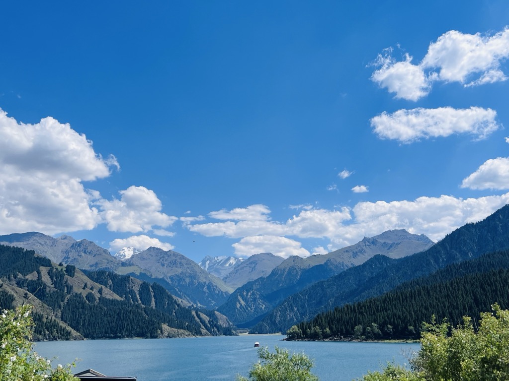
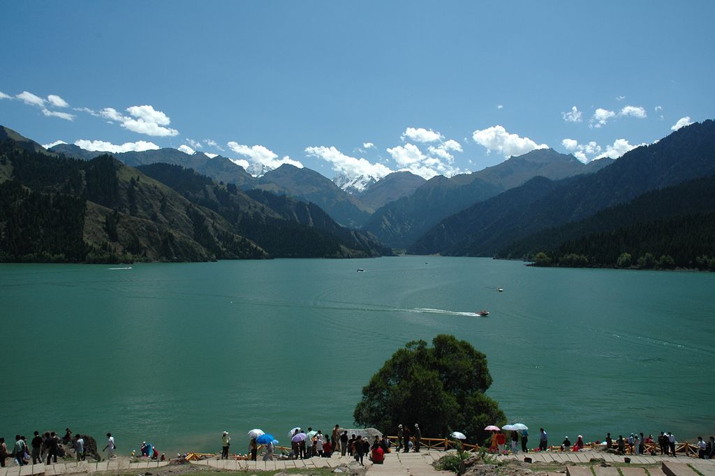
Tianchi (Chinese: 天池; pinyin: Tiānchí, Uyghur: بوغدا كۆلى) is an alpine lake in Xinjiang, Northwest China. The name (天池) literally means Heavenly Lake and can refer to several lakes in mainland China and Taiwan. This Tianchi lies on the north side of the Bogda Shan ("Mountain of God", Bogda is a Mongolian word meaning "God") range of the Tian Shan ("Mountain of Heaven"), about 30 kilometres (19 mi) south of Fukang and 45 kilometres (28 mi) east (straight-line distance) of Ürümqi. It is an alpine drift lake shaped in the Quaternary Glacier period. Formerly known as Yaochi ("Jade Lake"), it was named Tianchi in 1783 by Mingliang, the Qing Commander of Urumqi Command. The lake is 1,907 metres (6,257 ft) above sea level, covering 4.9 square kilometres (1.9 sq mi), 105 metres (344 ft) deep at the deepest point. In 2006, it was designated for four years of restoration work at a cost of 800 million yuan (US$100 million). The plan calls for the tourism area around the lake to be increased from the present 158 km² to 548 km². The lake is classified as a highest level scenic area by the China National Tourism Administration. The lake is accessible by Provincial Highway 111 from Fukang.
We use GPS information embedded into the photo when it is available.
3D mountains overlay
Adjust mountain panorama to perfectly match your photos because recorded by camera photo position might be imprecise.
Move tool
Rotate tool
Zoom
More customization
Choose which peak labels should make into the final photo and what photo title should be.
Next
Photo Location
Satellitte
Flat map
Relief map
Latitude
Longitude
Altitude
OR
Latitude
°'''
Longitude
°'''
Apply
Register Peak
Peak Name
Latitude
Longitude
Altitude
Register
Teleport
PeakVisor
This 3D model of Sagarmatha National Park in Nepal was made using the PeakVisor app topographic data. The mobile app features higher precision models worldwide, more topographic details, and works offline. Download PeakVisor maps today.
Download OBJ model
PeakVisor
The download should start shortly. If you find it useful please consider supporting the PeakVisor app.
PeakVisor for iOS and Android
Be a superhero of outdoor navigation with state-of-the-art 3D maps and mountain identification in the palm of your hand!