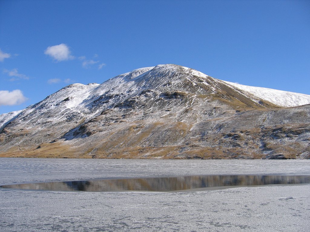
Grisedale Tarn is a tarn in the Lake District of England between Fairfield and Dollywagon Pike. It is the legendary resting place of the crown of the kingdom of Cumbria, after the crown was conveyed there in 945 by soldiers of the last king, Dunmail, after he was slain in battle with the combined forces of the English and Scottish kings. Grisedale Tarn is 538 metres (1,765 ft) in altitude and has a maximum depth of around 33 metres (108 ft). It holds brown trout, perch and eels. The outflow is to Ullswater to the north-east, picking up all of the rainfall from the eastern face of Dollywagon Pike. The Tarn is the subject of a poem by the Rev. Frederick William Faber printed in 1840.
We use GPS information embedded into the photo when it is available.
3D mountains overlay
Adjust mountain panorama to perfectly match your photos because recorded by camera photo position might be imprecise.
Move tool
Rotate tool
Zoom
More customization
Choose which peak labels should make into the final photo and what photo title should be.
Next
Photo Location
Satellitte
Flat map
Relief map
Latitude
Longitude
Altitude
OR
Latitude
°'''
Longitude
°'''
Apply
Register Peak
Peak Name
Latitude
Longitude
Altitude
Register
Teleport
PeakVisor
This 3D model of Sagarmatha National Park in Nepal was made using the PeakVisor app topographic data. The mobile app features higher precision models worldwide, more topographic details, and works offline. Download PeakVisor maps today.
Download OBJ model
PeakVisor
The download should start shortly. If you find it useful please consider supporting the PeakVisor app.
PeakVisor for iOS and Android
Be a superhero of outdoor navigation with state-of-the-art 3D maps and mountain identification in the palm of your hand!