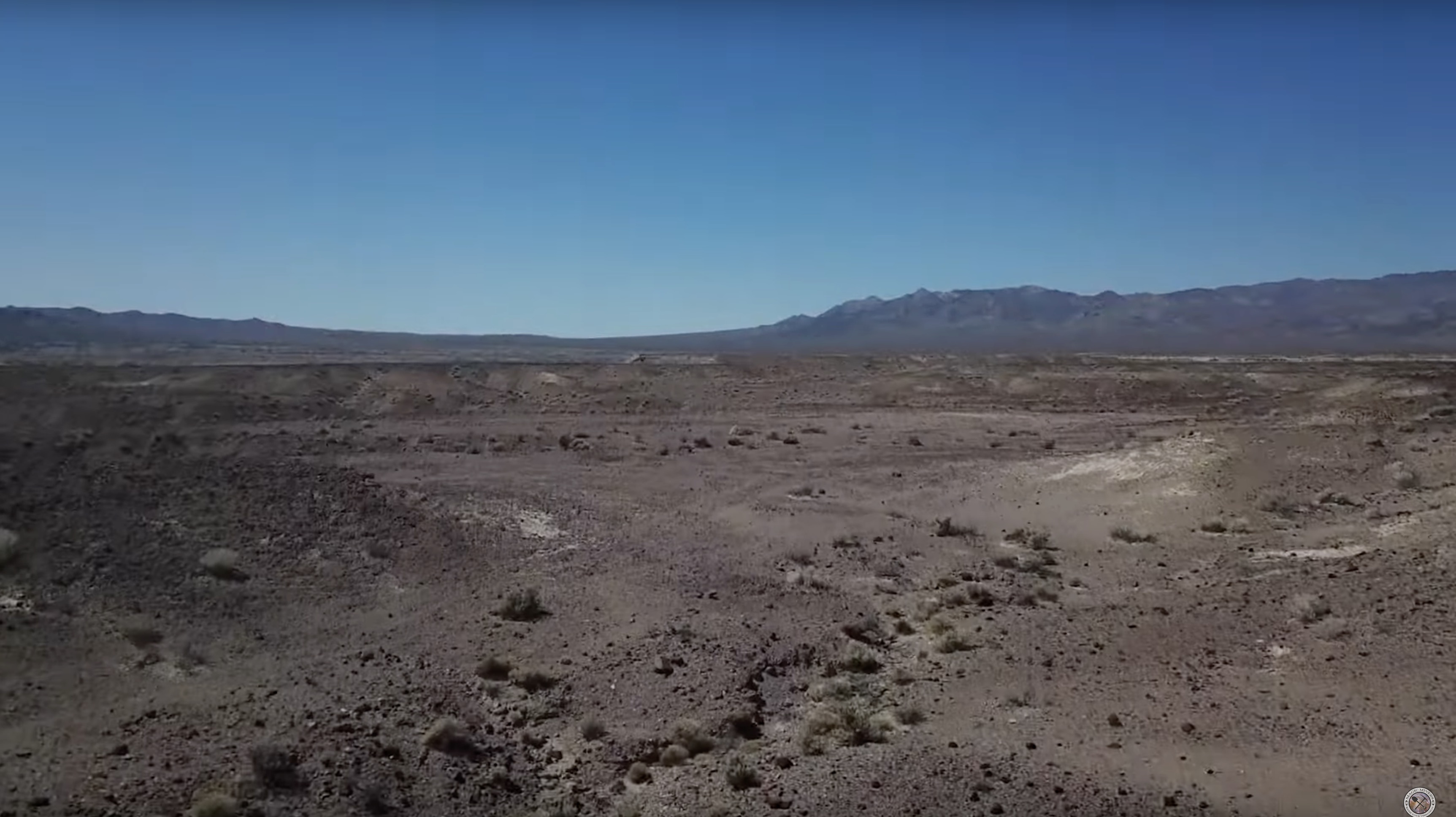
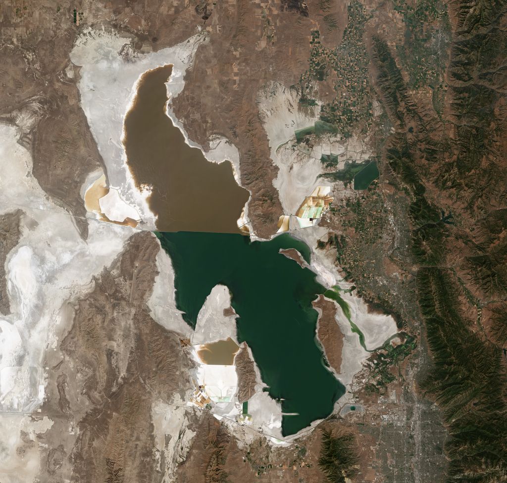
The Great Salt Lake is the largest saltwater lake in the Western Hemisphere and the eighth-largest terminal lake in the world. It lies in the northern part of the U.S. state of Utah and has a substantial impact upon the local climate, particularly through lake-effect snow. It is a remnant of Lake Bonneville, a prehistoric body of water that covered much of western Utah. The area of the lake can fluctuate substantially due to its low average depth of 16 feet (4.9 m). In the 1980s, it reached a historic high of 3,300 square miles (8,500 km2), and the West Desert Pumping Project was established to mitigate flooding by pumping water from the lake into the nearby desert. In 2021, after years of sustained drought and increased water diversion upstream of the lake, it fell to its lowest recorded area at 950 square miles (2,500 km2), falling below the previous low set in 1963. Continued shrinkage could turn the lake into a bowl of toxic dust, poisoning the air around Salt Lake City (cf. Salton Sea). The lake's three major tributaries, the Jordan, Weber, and Bear rivers together deposit around 1.1 million tons of minerals in the lake per year. Since the lake has no outlet besides evaporation, these minerals accumulate and give the lake high salinity (far saltier than seawater) and density. This density causes swimming in the lake to feel similar to floating. The lake has been called "America's Dead Sea" and provides a habitat for millions of native birds, brine shrimp, shorebirds, and waterfowl, including the largest staging population of Wilson's phalarope in the world.
We use GPS information embedded into the photo when it is available.
3D mountains overlay
Adjust mountain panorama to perfectly match your photos because recorded by camera photo position might be imprecise.
Move tool
Rotate tool
Zoom
More customization
Choose which peak labels should make into the final photo and what photo title should be.
Next
Photo Location
Satellitte
Flat map
Relief map
Latitude
Longitude
Altitude
OR
Latitude
°'''
Longitude
°'''
Apply
Register Peak
Peak Name
Latitude
Longitude
Altitude
Register
Teleport
PeakVisor
This 3D model of Sagarmatha National Park in Nepal was made using the PeakVisor app topographic data. The mobile app features higher precision models worldwide, more topographic details, and works offline. Download PeakVisor maps today.
Download OBJ model
PeakVisor
The download should start shortly. If you find it useful please consider supporting the PeakVisor app.
PeakVisor for iOS and Android
Be a superhero of outdoor navigation with state-of-the-art 3D maps and mountain identification in the palm of your hand!