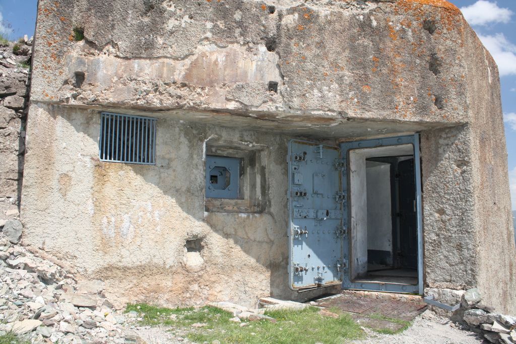
Ouvrage Gondran is a lesser work (petit ouvrage) of the Maginot Line's Alpine extension, the Alpine Line. The ouvrage consists of one entry block, one infantry block and one observation block. Gondran was commenced in June 1933, and was intended to cover the gap between Janus and Les Aittes. The site is close to two older forts, designated Gondran C and Gondran D. The Maginot fortification became known as Gondran E. The fortified area is near the Les Gondrans portion of the Montgenèvre ski area.
We use GPS information embedded into the photo when it is available.
3D mountains overlay
Adjust mountain panorama to perfectly match your photos because recorded by camera photo position might be imprecise.
Move tool
Rotate tool
Zoom
More customization
Choose which peak labels should make into the final photo and what photo title should be.
Next
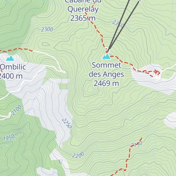
Photo Location
Satellitte
Flat map
Relief map
Latitude
Longitude
Altitude
OR
Latitude
°'''
Longitude
°'''
Apply
Register Peak
Peak Name
Latitude
Longitude
Altitude
Register
Teleport
PeakVisor
This 3D model of Sagarmatha National Park in Nepal was made using the PeakVisor app topographic data. The mobile app features higher precision models worldwide, more topographic details, and works offline. Download PeakVisor maps today.
Download OBJ model
PeakVisor
The download should start shortly. If you find it useful please consider supporting the PeakVisor app.
PeakVisor for iOS and Android
Be a superhero of outdoor navigation with state-of-the-art 3D maps and mountain identification in the palm of your hand!


.jpg)