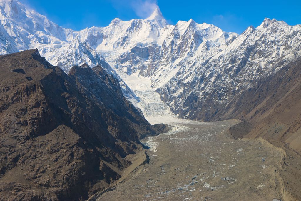
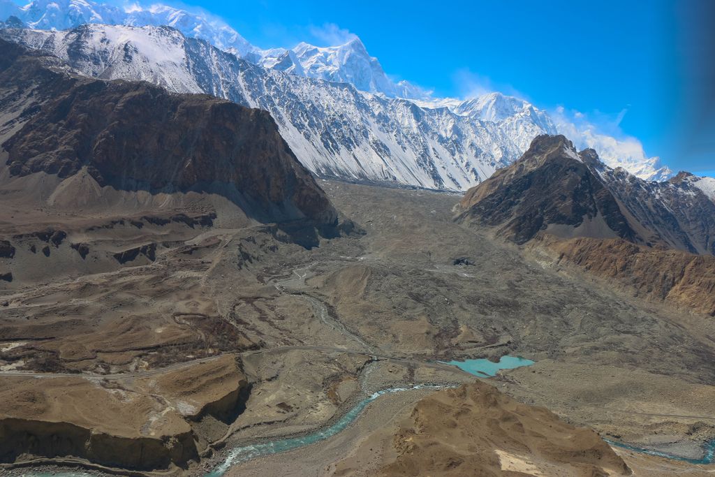
Gojal (Wakhi: وادی گوجال, Kyrgyz: گۉجال ۅرۅنۇ,), also called Upper Hunza, is situated in northwestern Pakistan. It borders China at the Khunjerab Pass, and Afghanistan at the Chapursan valley. In 2019, Gojal Valley became the second Karachukar sub-division within the Hunza District. It is geographically the largest subdivision of Gilgit-Baltistan. Gojal or Upper Hunza is composed of a number of large and small valleys sharing borders with Central Hunza to the south, China in the northeast, and Afghanistan in the northwest. Aeenabad is the first village of Gojal, Upper Hunza. Except for the Shimshal, Misgar, and Chipursan valleys, all the villages of Gojal, Upper Hunza can be seen from the Karakoram Highway (KKH), which crosses Gojal, entering China at the Khunjerab Pass. The Gojal region has 20,000 Ismaili residents.
We use GPS information embedded into the photo when it is available.
3D mountains overlay
Adjust mountain panorama to perfectly match your photos because recorded by camera photo position might be imprecise.
Move tool
Rotate tool
Zoom
More customization
Choose which peak labels should make into the final photo and what photo title should be.
Next
Photo Location
Satellitte
Flat map
Relief map
Latitude
Longitude
Altitude
OR
Latitude
°'''
Longitude
°'''
Apply
Register Peak
Peak Name
Latitude
Longitude
Altitude
Register
Teleport
PeakVisor
This 3D model of Sagarmatha National Park in Nepal was made using the PeakVisor app topographic data. The mobile app features higher precision models worldwide, more topographic details, and works offline. Download PeakVisor maps today.
Download OBJ model
PeakVisor
The download should start shortly. If you find it useful please consider supporting the PeakVisor app.
PeakVisor for iOS and Android
Be a superhero of outdoor navigation with state-of-the-art 3D maps and mountain identification in the palm of your hand!